
Place · 1 mi away
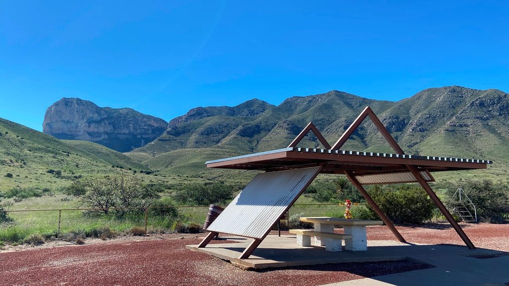
A quick, no-sweat stop along US 62/180, this roadside pullout frames the park’s signature skyline—Guadalupe Peak and the limestone prow of El Capitan—without lacing up hiking boots. It’s the easiest way to size up the “Top of Texas” from the road and get those classic photos as you approach Pine Springs.
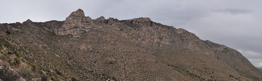
Expect grand, unobstructed looks at the uplifted limestone massifs that define the range. El Capitan’s sheer south face steals the foreground while Guadalupe Peak rises behind it. It’s common to mix them up—read the roadside sign and you’ll spot which is which. Views are broad desert basins and towering cliffs right from the shoulder of the highway.
You’re looking at a world-class slice of Earth history: the Permian-age Capitan Reef, an ancient marine reef now hoisted into cliffs. Below the big limestone walls lie stacked sandstones and siltstones laid down in deep-water channels that once funneled sediment into the Delaware Basin. On clear days, the broad Salt Basin spread to the south and southwest hints at the faulting and uplift that sculpted these views.
This is a simple pullout: paved highway, variable shoulder parking, and big views—but no services. For bathrooms, use the Texas safety rest area about 10 miles north or swing by the Pine Springs area; there’s no gas anywhere in the park, so arrive topped off and bring your own water and snacks. Pets are fine at roadside pullouts (leashed), but they aren’t allowed on most park trails.
From Pine Springs, the summit hike runs about 8 miles round trip with roughly 3,000 feet of gain and typically takes 6–8 hours. It’s strenuous, windy up high, and there are no facilities on the trail—start early and carry plenty of water.
Open year-round from day to dusk, this stop is a reliable add-on to any drive. Spring and fall bring cooler temps and typically the most comfortable conditions. Summer can be hot, and winter often delivers strong winds. It’s not a great sunset spot—nearby terrain blocks the evening light—so aim for earlier in the day for easier conditions and cleaner photos.
Place · 1 mi away
Place · 1.1 mi away
Place · 1.1 mi away
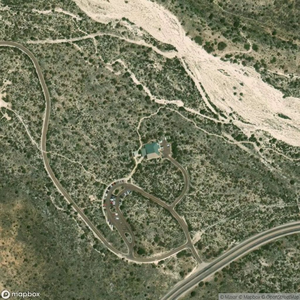
Place · 1.1 mi away
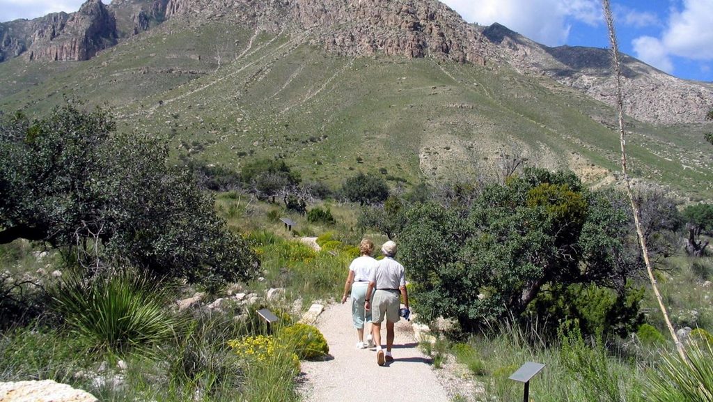
Easy · 1.1 mi away
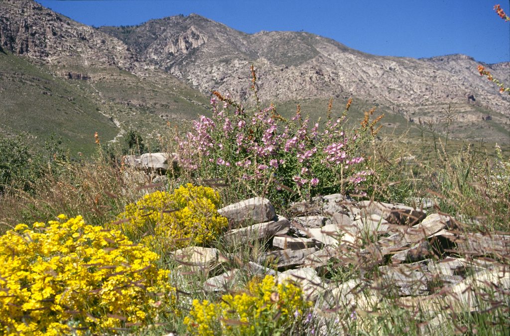
Easy · 1.1 mi away
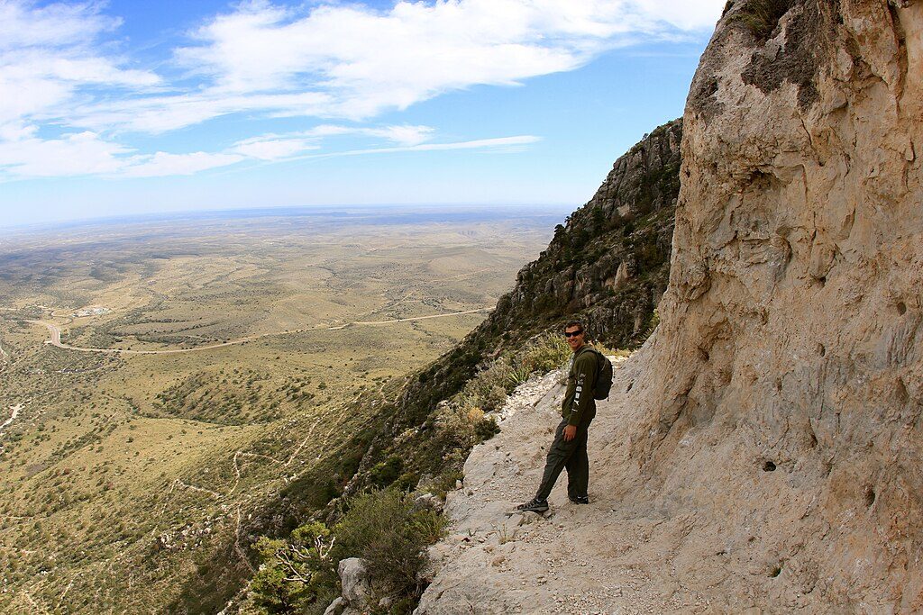
Challenging · 1.3 mi away
Challenging · 1.3 mi away

Parkwolf Tour Guide
