Pros & cons
PROS
- Short, easy walk with excellent interpretive signs
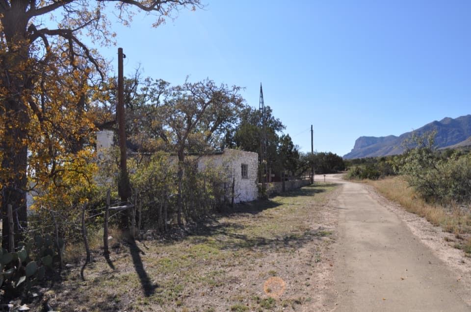
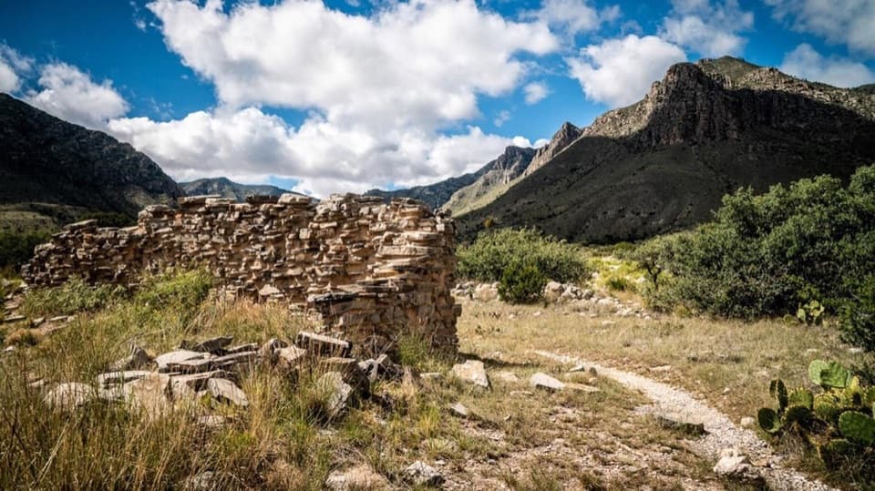
- Authentic Butterfield Overland Mail station ruins with mountain views
CONS
- Very little shade; fully exposed to sun
- Parking is at the visitor center, not at the ruins themselves
Overview
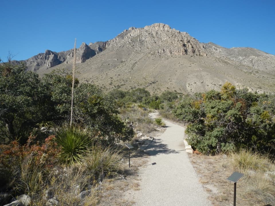
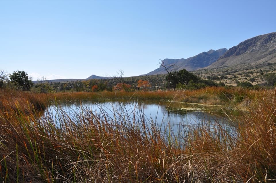
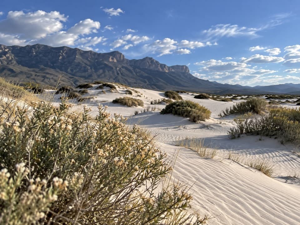
A perfect leg-stretcher with real substance, The Pinery is a short, paved stroll from Pine Springs Visitor Center to the evocative ruins of an 1858 Butterfield Overland Mail stage station. Expect wide-open Chihuahuan Desert views, informative waysides, and a quick history hit before or after bigger hikes.
What You’ll See
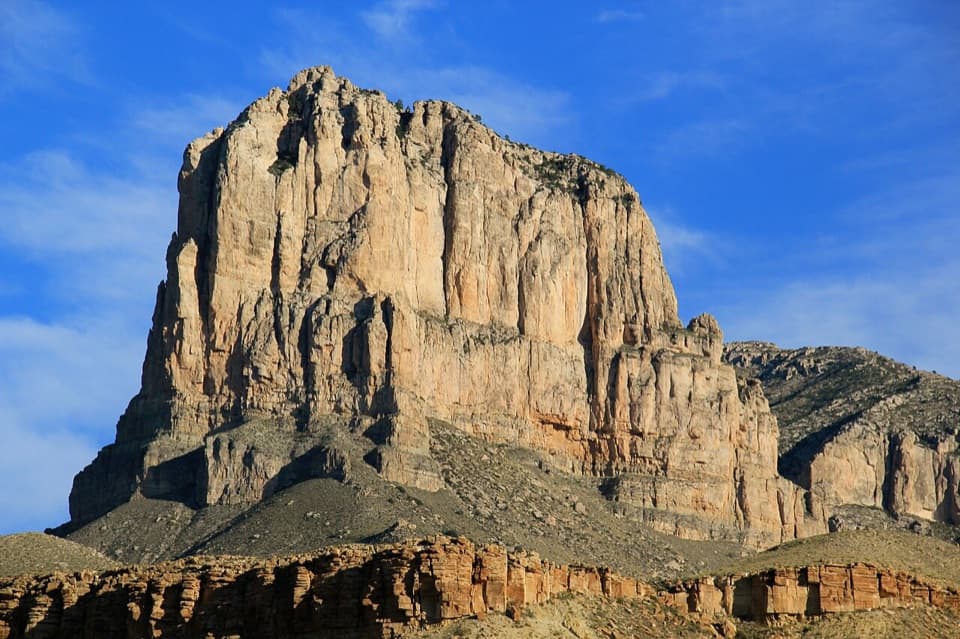
You’ll reach low limestone walls and foundations of the old station, set against the backdrop of Guadalupe Peak and the escarpment. Along the way, interpretive signs unpack the desert plants you’re walking past and the station’s role in connecting the country. Keep an eye out for lizards and seasonal wildflowers along the path.
The Story
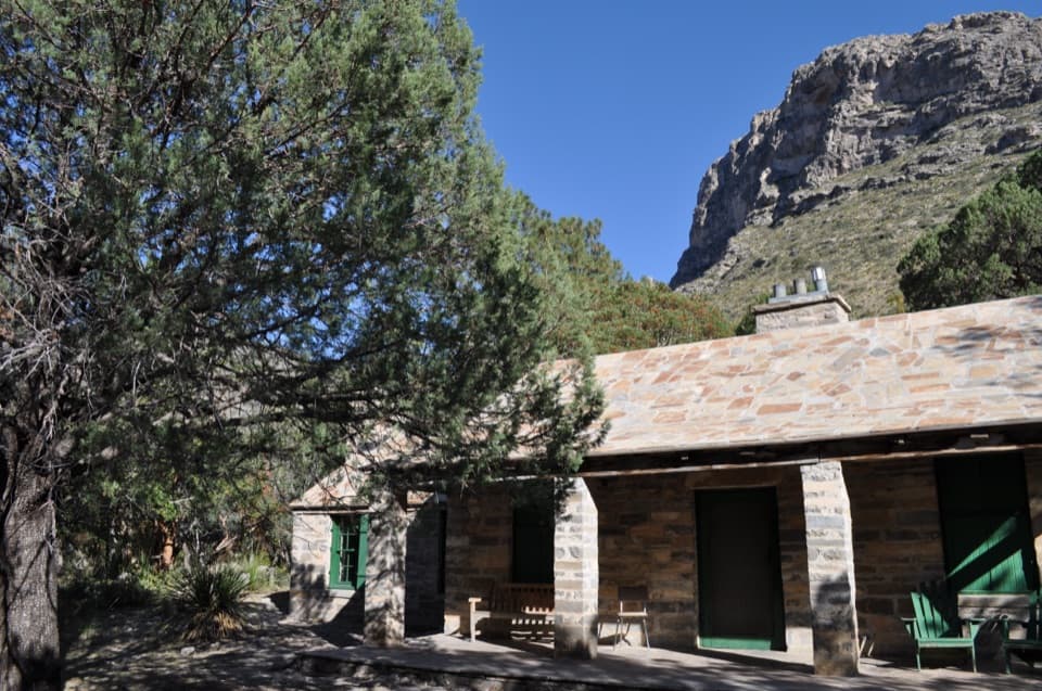
Built in 1858, The Pinery was one of roughly 200 way stations on the 2,800‑mile Butterfield Overland Mail route linking St. Louis and San Francisco. Sitting at about 5,534 feet near Pine Springs, it quickly evolved from tents and a corral into a fortified stop with high stone walls, three limestone rooms, a blacksmith shop, and a water tank. The journey was notoriously rough—cramped coaches, punishing roads, temperature extremes—yet travelers also noted the stark beauty of these mountains. The station ran for only about 11 months before the route shifted in August 1859 to a line with more military protection, but The Pinery remained a landmark on this frontier corridor. The first westbound and eastbound stagecoaches even met near here in 1858.
Geology Backdrop
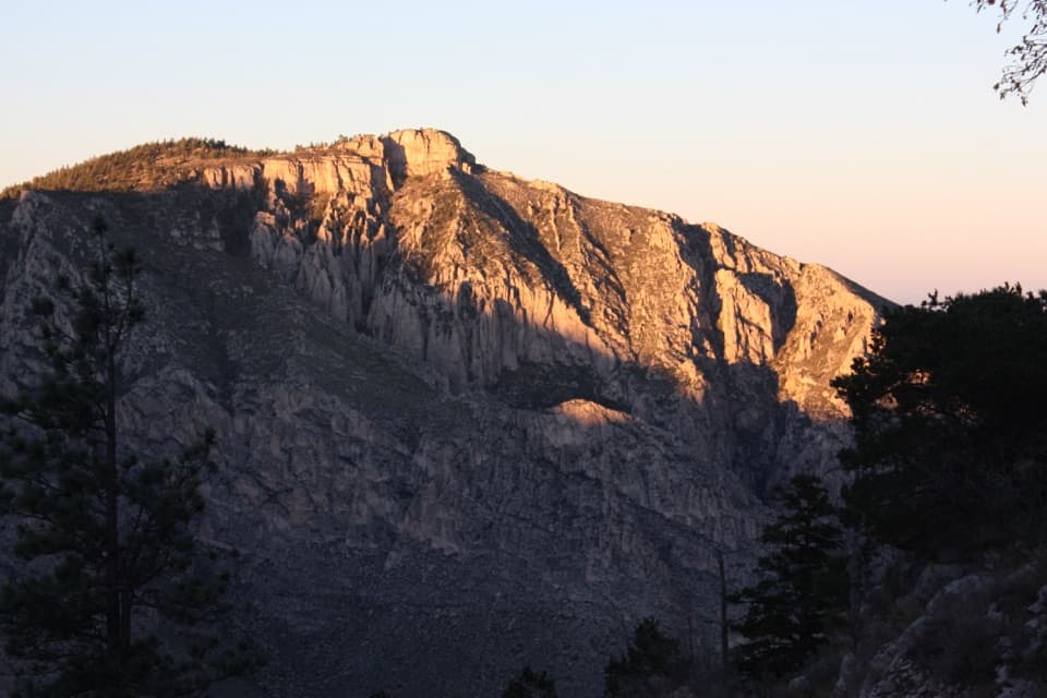
Those cliffs looming above are part of the ancient Capitan Reef, a Middle Permian fossil reef that uplifted and eroded into today’s dramatic escarpment. It’s why the skyline feels so sheer and why the stone ruins feel so at home in the landscape.
Logistics
- Distance/effort: about 0.75 miles round trip, ~40 feet of elevation, easy; plan 20–30 minutes.
- Surface: paved, mostly gentle grades.
- Start/parking: Pine Springs Visitor Center lot; walk the signed path to the ruins.
- Amenities nearby: restrooms and potable water at/near the visitor center; no services at the ruins themselves.
- Pets: leashed pets are allowed on this trail.
- Shade: minimal—bring water, a hat, and sun protection.
- Hours: the site is effectively open any time.
Best Time to Visit
Go early or late for cooler temps and soft, warm light on the ruins and escarpment. Mid‑morning can see more visitors, especially on weekdays, but this stop rarely feels crowded for long. If you’re here midday, it’s still a worthwhile quick stop—just be prepared for sun exposure.
Is It Worth It?
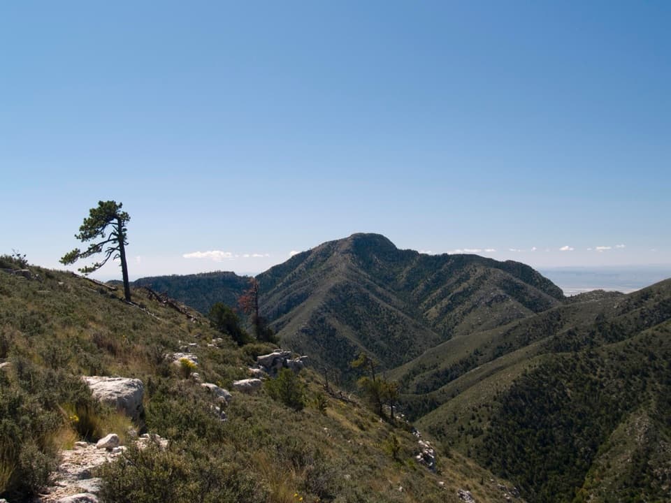
Absolutely—especially if you appreciate history or want a meaningful stop that doesn’t tax the legs. It’s also a solid warm‑up before tackling bigger routes like Guadalupe Peak from nearby trailheads.
Where it is
31.8932, -104.8171Tips for The Pinery
- 01Park at Pine Springs Visitor Center and follow the signed path; don’t try to access from the highway shoulder.
- 02Bring water, a hat, and sunscreen—the route is fully exposed.
- 03Give yourself 20–30 minutes so you can actually read the interpretive signs.
- 04Aim for sunrise or late afternoon for cooler temps and better photos.
- 05Leashed pets are allowed here, unlike most trails in the park.
Amenities
Near The Pinery
All places →All trails →
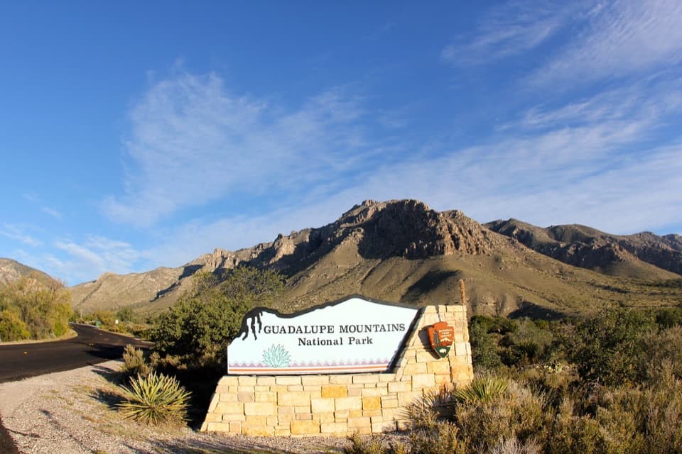
0.2 mi awayGuadalupe Mountains National Park Entrance Sign (Pine Springs)Quick photo op with El Capitan backdrop at the entrance signPullout · Parking
0.3 mi awayButterfield Stage Ruins TrailEasy paved stroll to the evocative ruins of an 1858 stage stopEasy · 0.8 mi · 30 min
0.3 mi awayPine Springs Picnic AreaConvenient picnic spot beside the main trailheadsRestroom · Parking
0.3 mi awayPine Springs Visitor CenterPark HQ for maps, permits, water, and trailhead intelVisitor Center · Restroom
0.3 mi awayPinery TrailPaved desert walk to 1858 stage station ruins and mountain viewsEasy · 0.8 mi · 30 min
0.5 mi awayPine Springs CampgroundTrailhead-side basecamp with basics, high winds, and big viewsCampground · Restroom
0.7 mi awayGuadalupe Peak TrailStrenuous climb to the Top of Texas with sweeping desert viewsChallenging · 8.4 mi · 7 hr
0.7 mi awayHunter Peak via Bear Canyon and Tejas LoopSteep climb, huge views, and cool pine forests in one loopChallenging · 8.7 mi · 7 hr