
Place · 0 mi away
Easy
This is the park’s easiest dose of history and desert scenery: a short, paved walk from the Pine Springs Visitor Center out to the Butterfield Overland Mail “Pinery Station” ruins. It’s an out-and-back of 0.75 miles total with roughly 40 feet of elevation change, usually done in 20–30 minutes. Expect wide-open Chihuahuan Desert views and interpretive signs that make the landscape and its past click into place.
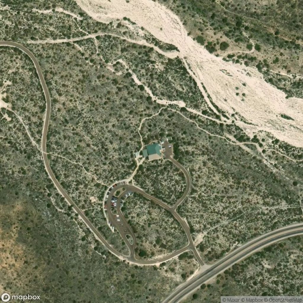
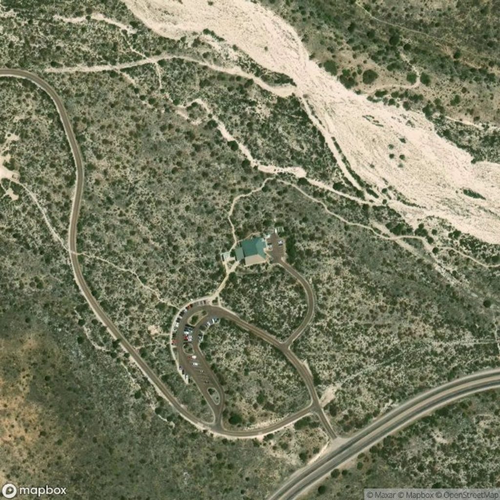
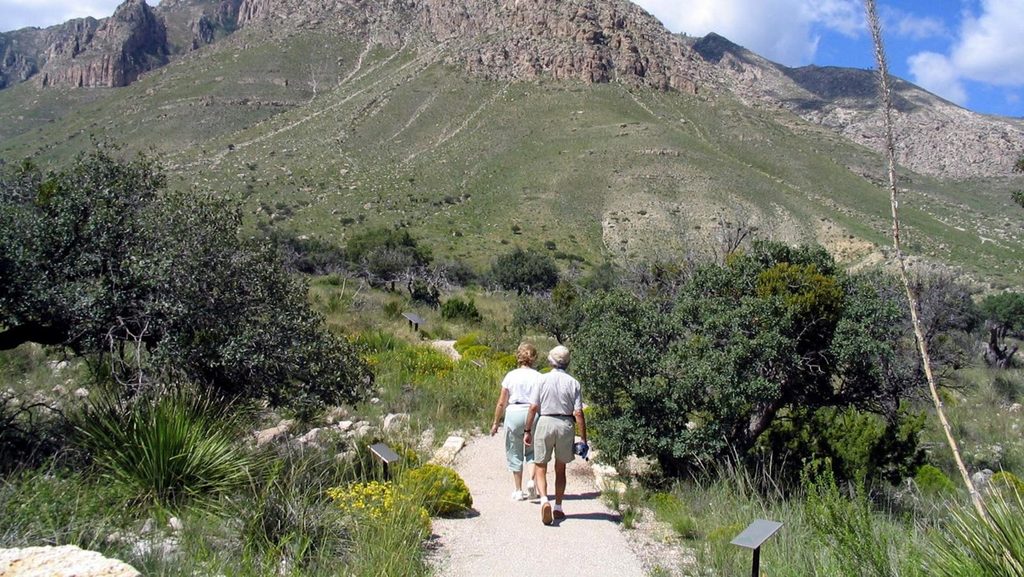
Start behind the Pine Springs Visitor Center and follow the paved, generally gentle path toward the stone walls of the Pinery. The trail is wheelchair-accessible, wayfinding is obvious, and there are interpretive panels about desert plants, wildlife, and fire ecology along the way. There’s little to no shade, but you’ll get big views toward the Guadalupe escarpment and El Capitan as you go. Leashed pets are allowed on this trail (a rare perk in this park).
Built in 1858, the Pinery was a relay and meal station on the nation’s first transcontinental mail route—stretching about 2,800 miles between St. Louis and San Francisco. Fed by nearby Pine Springs, the Pinery was the highest station on the line at 5,534 feet. What began as tents and a timber corral quickly became a fortress-like compound of local limestone: walls roughly 30 inches thick and 11 feet high, three mud-roofed rooms, a blacksmith shop, and a water tank. Station keepers, cooks, blacksmiths, and herders kept things running as coaches, passengers, and express riders came through on a tight schedule. Near this area, the first westbound and first eastbound stages reportedly met in 1858—an emblematic moment for the route.
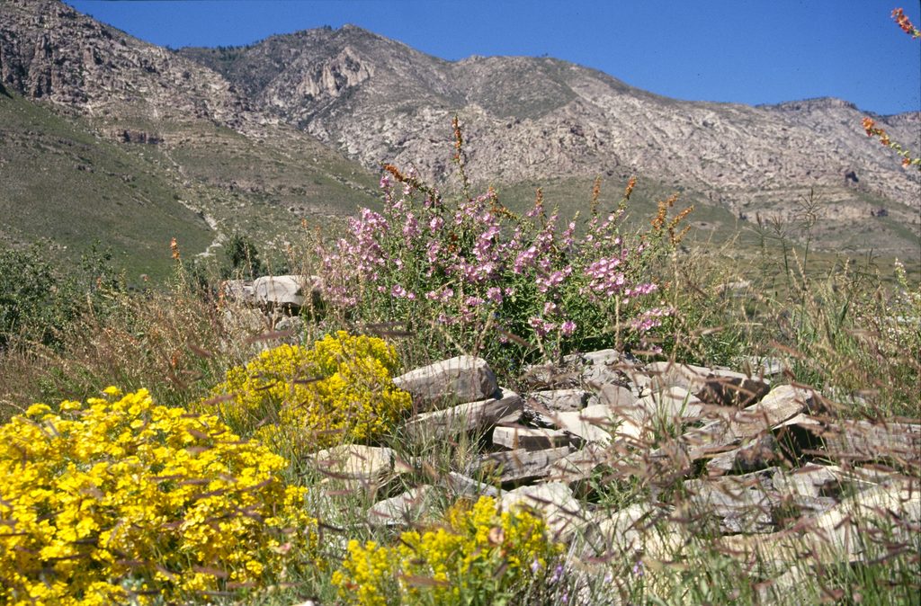
You’re walking at the foot of the world-class Permian Capitan Reef—an ancient marine reef (about 260–270 million years old) now lifted into today’s cliffs. Scan the desert flats for hardy flora like agaves and yuccas, and keep an eye out for common desert wildlife: lizards and toads by day, and the sound of coyotes toward dusk. Mule deer and snakes are possible, too—give all wildlife space.
If you’re tight on time or just passing through on US-62/180, this is an easy stop that delivers real context for the park’s landscape and human story.
Park at the Pine Springs Visitor Center on US-62/180; the paved trail starts behind the building. Accessible parking and restrooms available at the Visitor Center.
High sun exposure and frequent winds; carry water and sun protection. Stay on the paved path and do not climb on the fragile stone walls.
Place · 0 mi away
Place · 0 mi away
Place · 0.1 mi away
Place · 0.3 mi away
Easy · 0.1 mi away
Challenging · 0.4 mi away
Challenging · 0.4 mi away

Challenging · 0.4 mi away

Parkwolf Tour Guide
