Pros & cons
PROS
- Leashed pets are allowed on this paved park trail.
- Benches and interpretive panels turn it into an easy, educational stroll.
- Two access points (visitor center or highway pullout) let you tailor the outing.
CONS
- Fully exposed with little to no shade—brutal in midday heat.
- Short and over quickly if you’re looking for a true hike.
Park at Pine Springs Visitor Center for the main trailhead (accessible spaces available), or use the small Pinery Station pullout along US 62/180 by the ruins. Restrooms are near the visitor center.
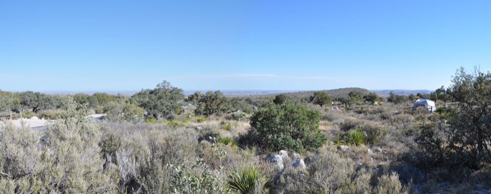
Little shade—carry water and sun protection. Can be windy. Occasional snake sightings; stay on the paved path. Return from the ruins is a gentle uphill.
Overview
A quick, worthwhile leg-stretcher that packs in history and views. The Pinery Trail is an easy, fully paved 0.75-mile round-trip stroll with about 40 feet of elevation change, typically taking 20–30 minutes. Expect open Chihuahuan Desert scenery, mountain backdrops, and a surprising dose of frontier history for minimal effort.
Route and Highlights
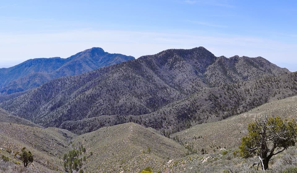
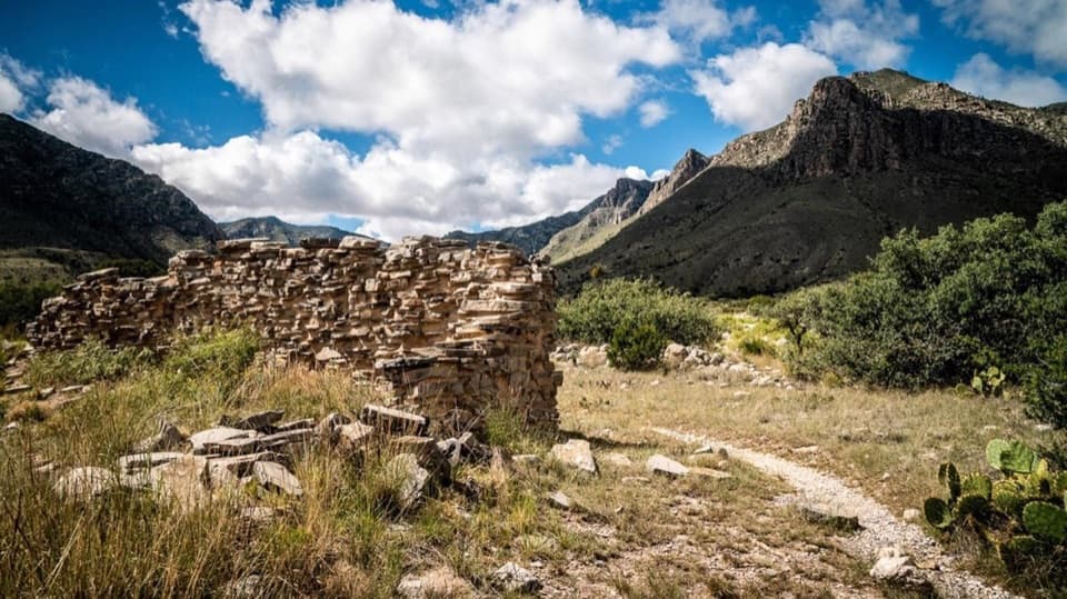
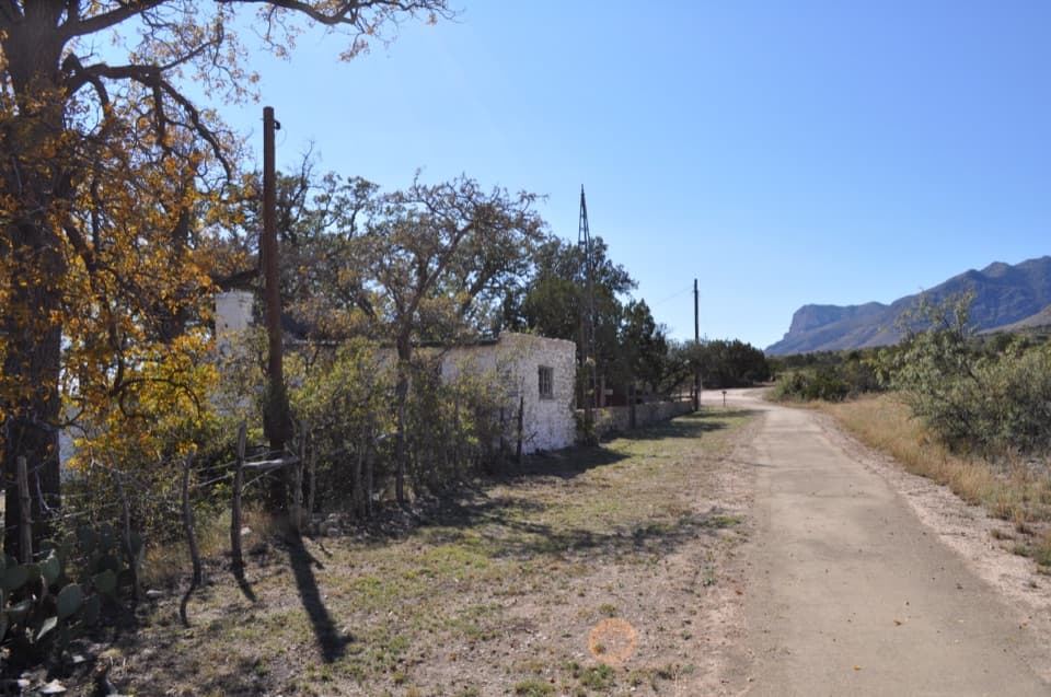
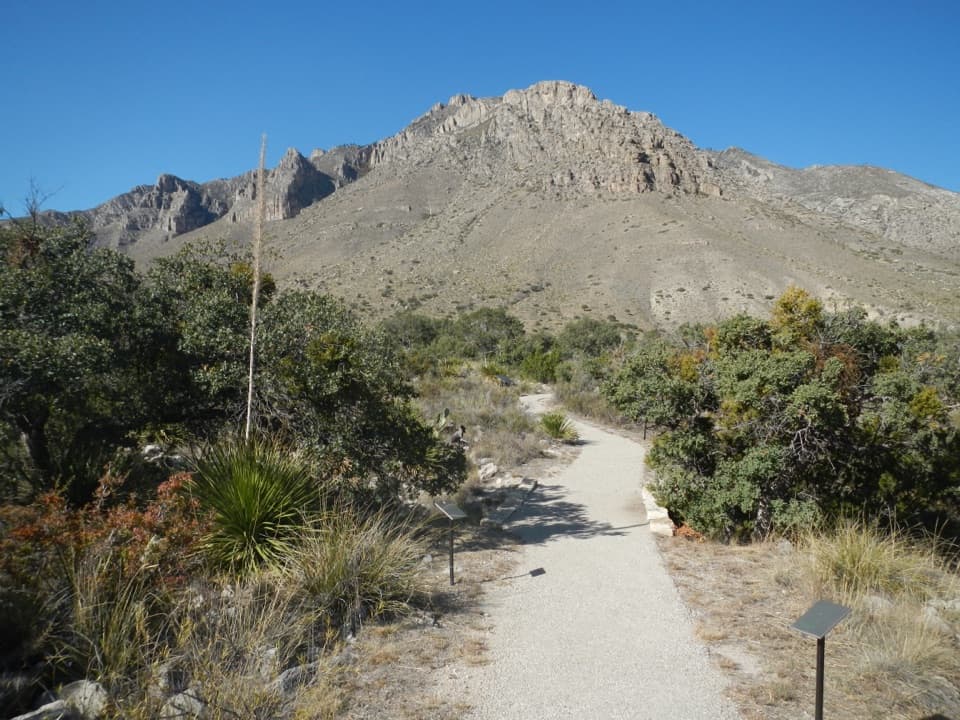
Start behind the Pine Springs Visitor Center and follow the wide asphalt path through desert vegetation with interpretive signs along the way. Benches appear at intervals if you want to pause and soak in the views toward the high country. The turnaround is the ruins of the 1858 Butterfield Overland Mail “Pinery Station,” a sturdy waystation that once connected the frontier to the wider world. From the ruins, the return is slightly uphill but still gentle. There’s also a small pullout along US 62/180 by the Pinery Station ruins that some visitors use as an alternate start.
Accessibility and Amenities
This is one of the park’s most accessible walks: the surface is paved, generally smooth, and about five feet wide, making it friendly for wheelchairs, mobility devices, and strollers. Leashed pets are allowed here (a rarity in this park’s trail system), making it a go-to for travelers with dogs. Restrooms are available near the visitor center.
Conditions and Caution
Shade is scarce to nonexistent, so bring water and sun protection year-round. Winds can funnel across the flats, and after storms you may encounter bugs. Reviewers occasionally note snake sightings—stay on the pavement and keep kids and pups close.
Best Time to Hike
Early morning or late afternoon gives you cooler temps, softer light on the mountains, and a calmer feel around the visitor center. It’s fine any time of year, but hot days amplify the full-sun exposure. Visitor center hours can vary—plan your water and essentials accordingly.
Who Will Love It (and When to Skip)
Perfect for families, history buffs, travelers short on time, or anyone wanting an easy, accessible walk with big scenery. If you’re chasing a true backcountry workout, this will feel more like a scenic sidewalk—consider a full-day objective like Hunter Peak via Bear Canyon and Tejas instead.
Elevation
0.8 mi · 30 minWhere it starts
31.8938, -104.8223Near Pinery Trail
All places →All trails →
0.1 mi awayPine Springs Picnic AreaConvenient picnic spot beside the main trailheadsRestroom · Parking
0.1 mi awayButterfield Stage Ruins TrailEasy paved stroll to the evocative ruins of an 1858 stage stopEasy · 0.8 mi · 30 min
0.1 mi awayPine Springs Visitor CenterPark HQ for maps, permits, water, and trailhead intelVisitor Center · Restroom
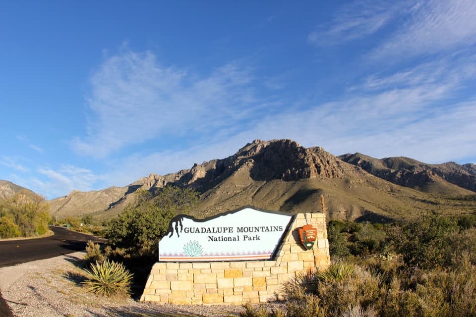
0.1 mi awayGuadalupe Mountains National Park Entrance Sign (Pine Springs)Quick photo op with El Capitan backdrop at the entrance signPullout · Parking
0.2 mi awayPine Springs CampgroundTrailhead-side basecamp with basics, high winds, and big viewsCampground · Restroom
0.4 mi awayGuadalupe Peak TrailStrenuous climb to the Top of Texas with sweeping desert viewsChallenging · 8.4 mi · 7 hr
0.4 mi awayHunter Peak via Bear Canyon and Tejas LoopSteep climb, huge views, and cool pine forests in one loopChallenging · 8.7 mi · 7 hr
0.4 mi awayBush Mountain TrailRemote ridge climb to Texas's second-highest summit with big viewsChallenging · 13.2 mi · 7.5 hr