
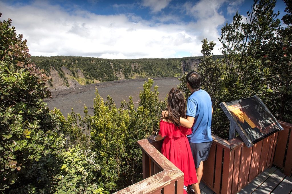
Place · 0.4 mi away
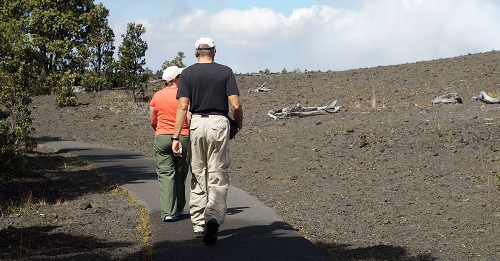
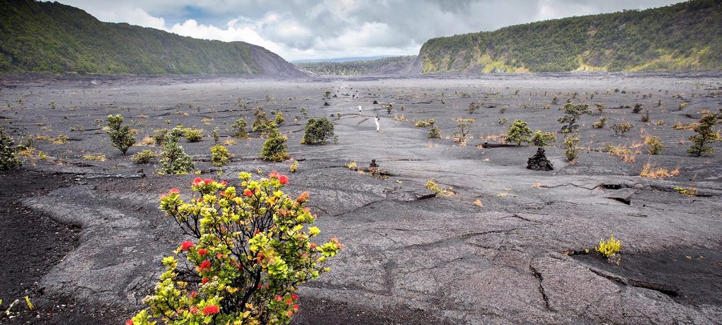
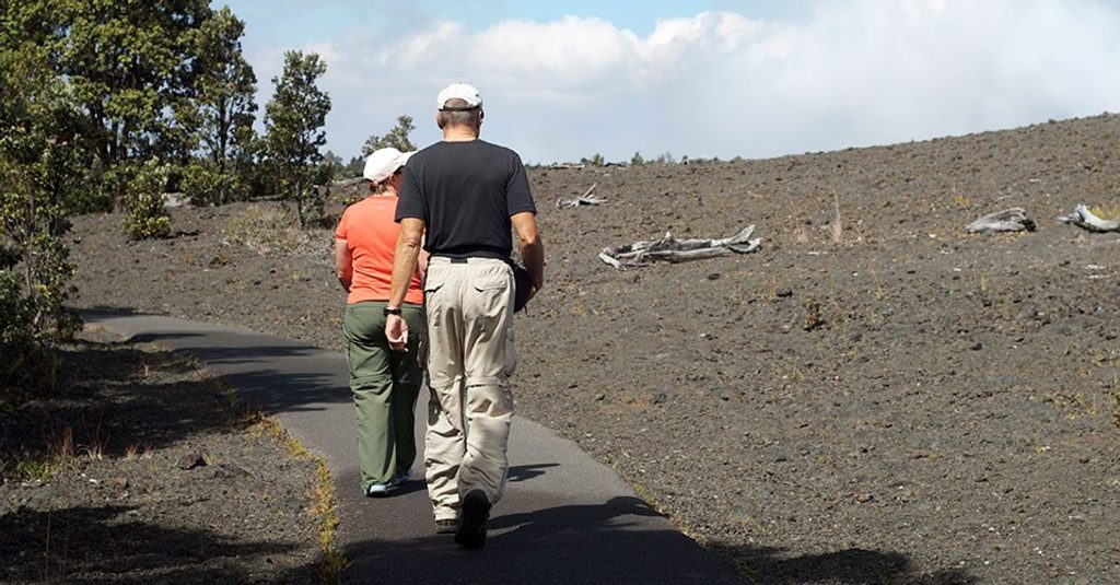
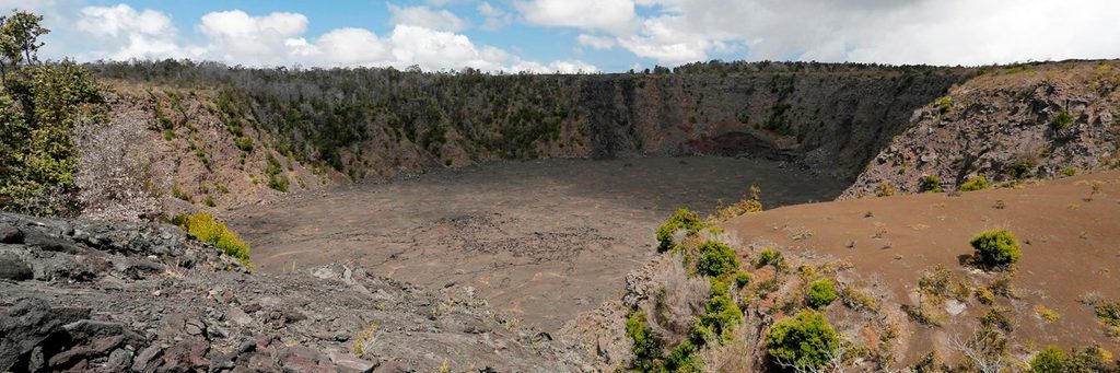
Devastation Area is the stark, cinder‑blanketed landscape left by the 1959 Kīlauea Iki eruption. A simple, paved path lets you stroll straight through the aftermath: black and red cinders, scattered lava fragments, and the slow comeback of native plants. It’s one of the easiest ways in the park to feel the raw force of a recent eruption without a long hike.
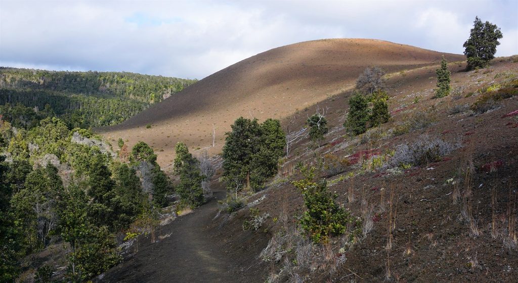
In 1959, lava fountains blasted hundreds to nearly two thousand feet high, burying this once‑lush rainforest in cinder and building Puʻu Puaʻi (“gushing hill”). Look for tree molds where trunks burned away after lava cooled around them. You may also spot Pele’s hair and Pele’s tears—delicate strands and droplets of volcanic glass. Admire, don’t touch, and leave everything in place.
Nēnē (Hawaiian geese) frequent the area—give them space and never feed them. Near the forested edges, you might notice native birds and insects; life thins as you step into the open cinder flats.
The path is about 0.5 mile one way (1 mile round trip) from the Devastation Trail lot, with another lot at Puʻupuaʻi on Crater Rim Drive. It’s paved and straightforward, with a few short, steeper grades. Expect sun, wind, or passing showers; the cinder field offers no cover. There are vault toilets at the parking area, but no water or food—bring your own.
It’s an easy, high‑reward stop: dramatic geology, real eruption history, and quick access. If you’re short on time or traveling with mixed abilities, this is a smart pick.
Place · 0.4 mi away
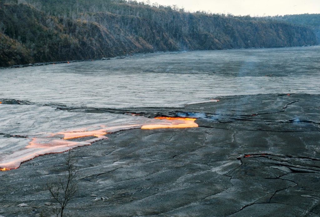
Place · 0.5 mi away
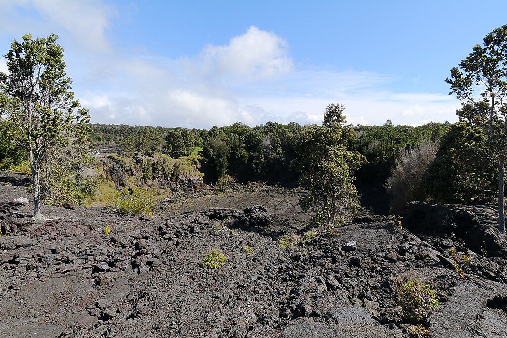
Place · 0.6 mi away
Place · 0.6 mi away
Easy · 0 mi away
Moderate · 0 mi away
Moderate · 0 mi away
Easy · 0 mi away

Parkwolf Tour Guide
