
Place · 0.2 mi away
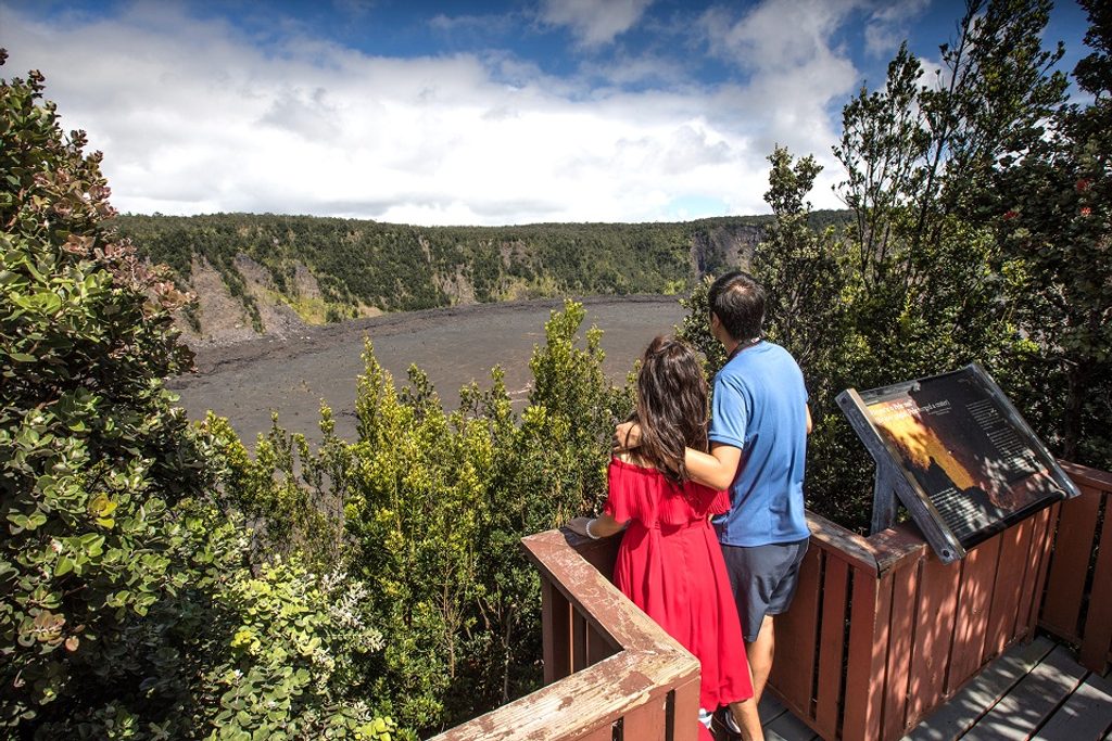
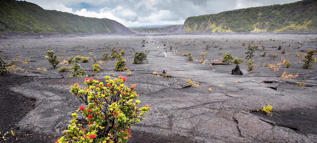
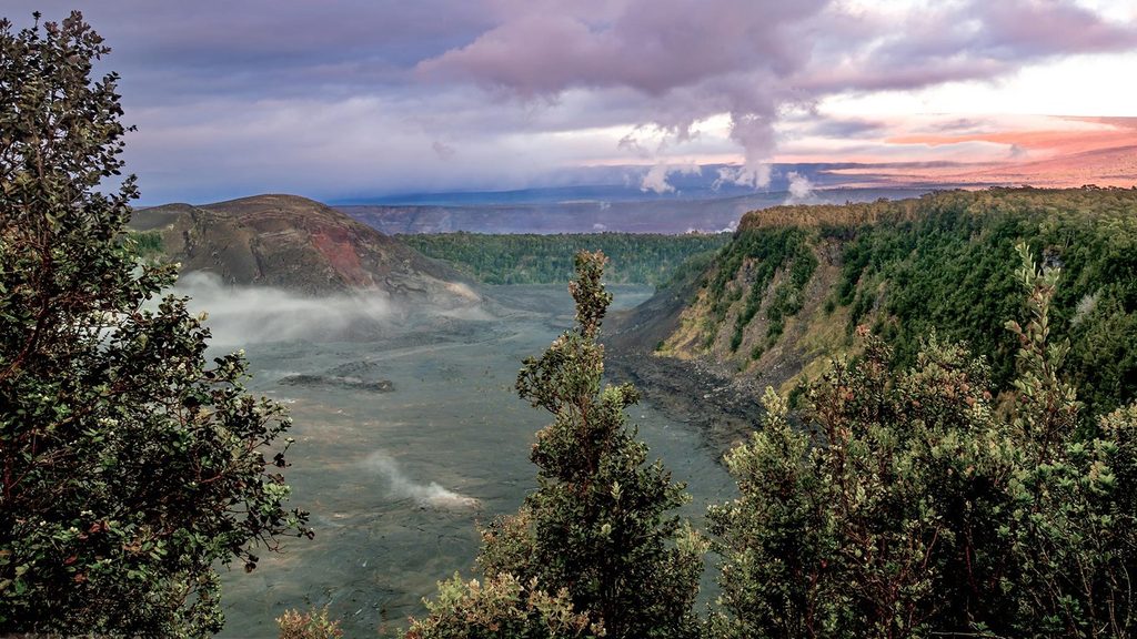
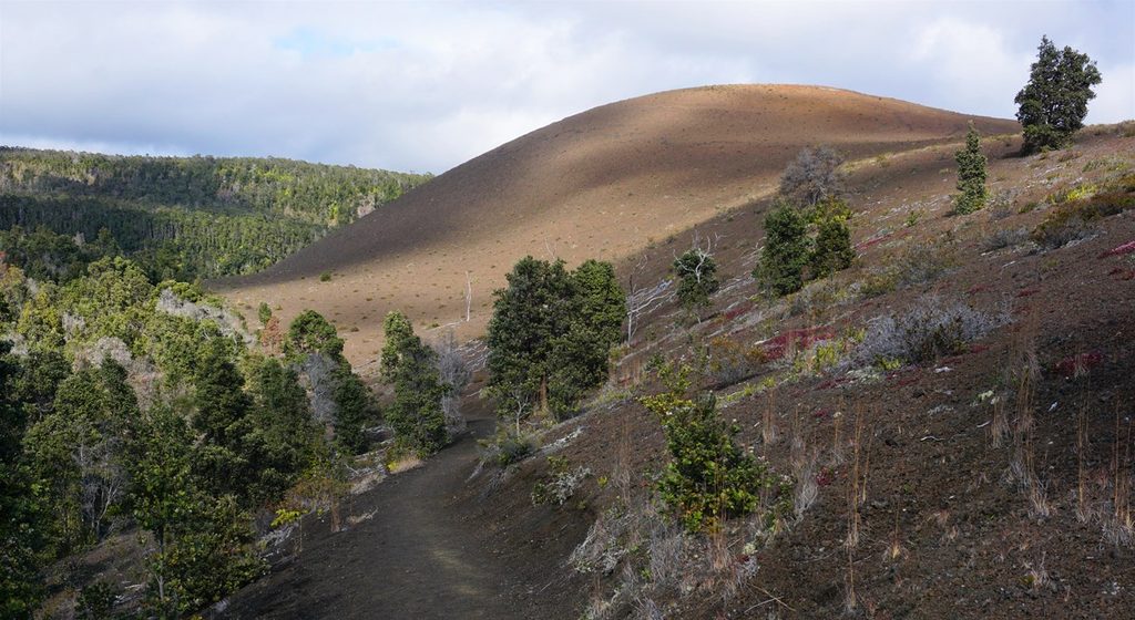
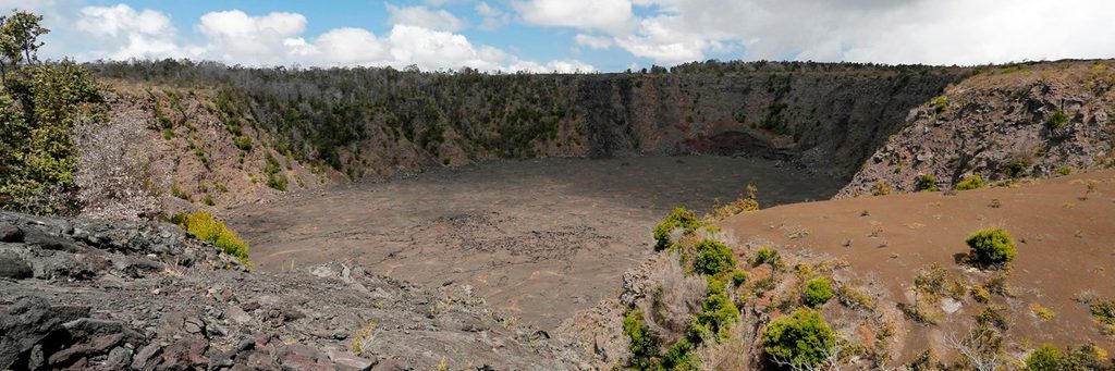
A quick, high‑impact stop on Crater Rim Drive, Puʻu Puaʻi Overlook puts you eye‑level with the 1959 eruption story. From the rim you look across the Kīlauea Iki crater to the reddish cinder cone of Puʻu Puaʻi—Hawaiian for “gushing hill.” It’s the exact landscape built by lava fountains that blasted skyward during that eruption.
Few overlooks line up the cone and crater this cleanly. You get a tidy, textbook snapshot of how high lava fountains built Puʻu Puaʻi and smothered the surrounding forest—creating the adjacent Devastation Trail area.
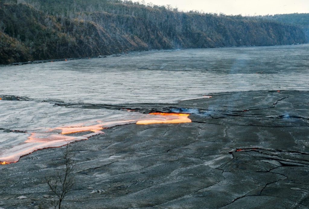
In 1959, Kīlauea Iki erupted spectacularly, with lava fountains reportedly reaching ~1,900 feet. Those eruptions piled loose cinders and spatter into the cone you see, while molten lava pooled and later solidified on the crater floor. Vegetation is slowly reclaiming the ash fields, but the eruption’s signature is still bold.
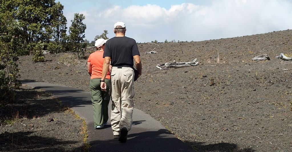
The overlook sits beside classic routes in the area. Devastation Trail is next door, and the Kīlauea Iki Trail is close by if you want to descend onto the crater floor for a deeper look. Use this stop to scout conditions and decide if you’ll commit to a longer hike.
Keep an eye out for nēnē (Hawaiian geese) that sometimes wander through the area. In the bordering rainforest, native honeycreepers like ʻapapane and ʻamakihi may flit through the ʻōhiʻa lehua—binoculars help.
There’s a dedicated parking lot and a short paved path to the viewpoint. That’s it—no restrooms, water, food, or shade structures. Check current park alerts; this lot has closed for maintenance in the past. Most people spend about 15 minutes here unless they’re pairing it with a hike.
Early morning or late afternoon brings softer light, fewer people, and better photos. Midday can see tour‑bus pulses, and the sun is harsh. Photographers like sunrise and sunset for warm side‑light on the cone. During active eruptions, this area can serve as overflow for nighttime crater viewing, so expect crowds then.
Place · 0.2 mi away
Place · 0.4 mi away
Place · 0.6 mi away
Place · 0.9 mi away
Easy · 0.4 mi away
Moderate · 0.4 mi away
Moderate · 0.4 mi away
Easy · 0.4 mi away

Parkwolf Tour Guide
