
Place · 0 mi away
Moderate
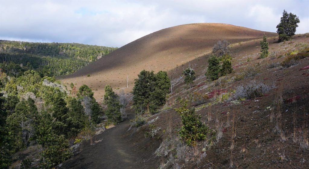
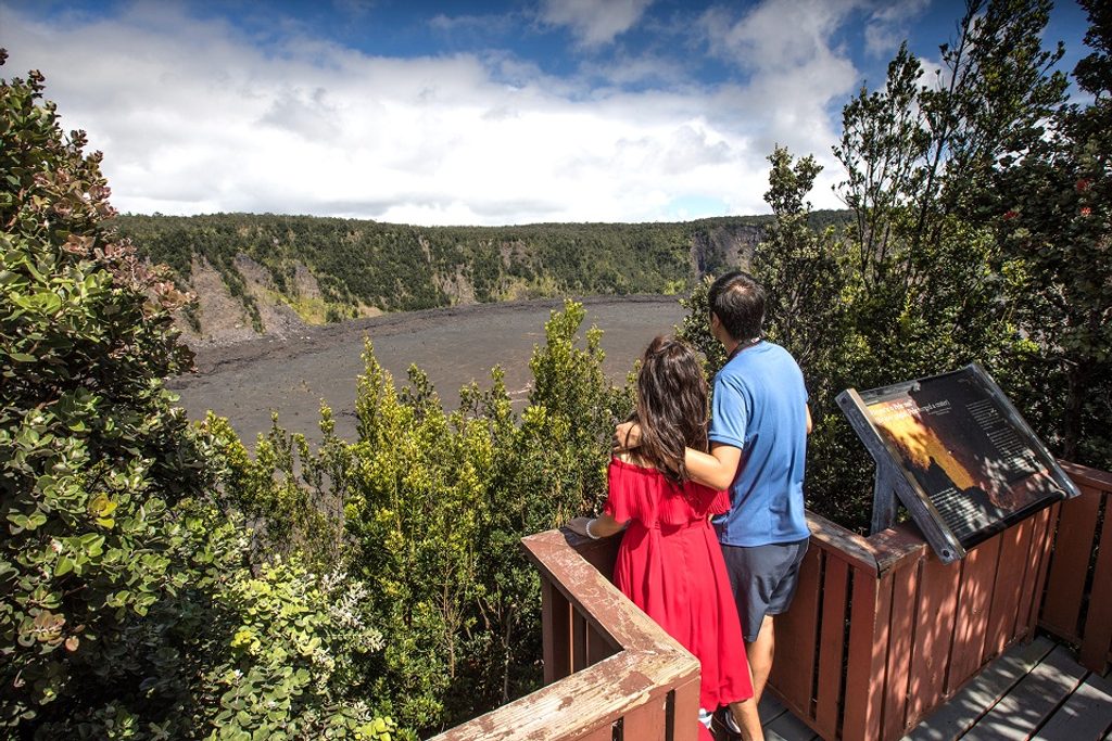
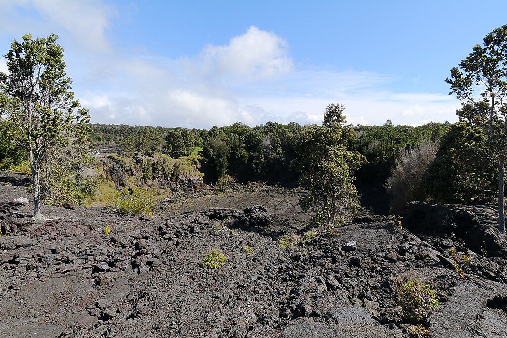
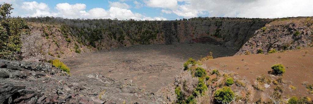
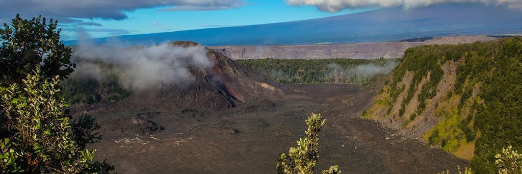
This is a short but scenic ledge walk squeezed between two heavyweights: the vast Kīlauea Caldera (with Halemaʻumaʻu) on one side and Kīlauea Iki on the other. You’ll get sweeping crater vistas, stark cinder barrens, and pockets of recovering native vegetation—all in a compact outing that dodges the bigger crowds found on nearby classics.
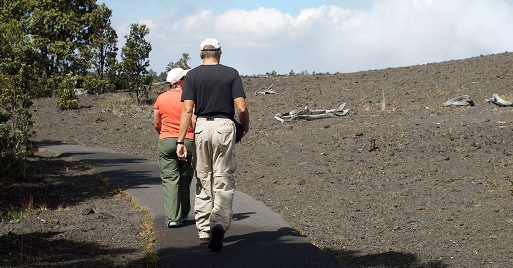
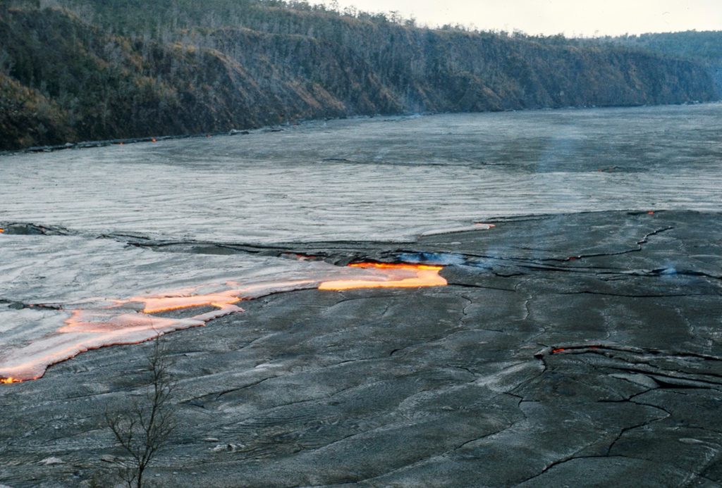
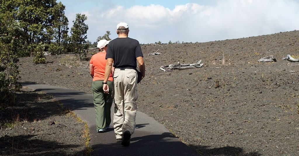
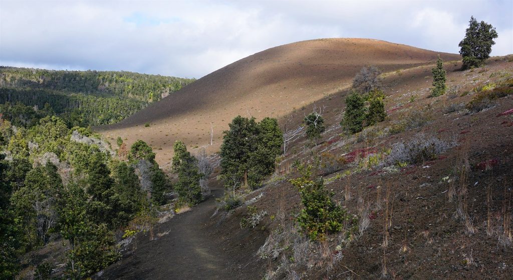
From the Devastation Trail parking area, the Byron Ledge path drops gently, then contours the rim for broad crater views before you turn around and retrace your steps. It’s about 1.2 miles total (out-and-back) with roughly 170 feet of elevation change. Expect cinder underfoot, some uneven volcanic rock, and intermittent shade. Views of the Puʻupuaʻi cinder cone—born from the dramatic 1959 Kīlauea Iki eruption—are a highlight.
Call it moderately easy: it’s “down, down, down… then back up, up, up,” but the grades are manageable for most hikers. It’s quieter than the Kīlauea Iki loop, so if you want summit scenery without the scene, this is a strong pick.
You’re literally walking the divide between two craters shaped by ongoing volcanic processes. Look for fresh-looking cinder fields, ash deposits, and pioneer native plants pushing back into the barrens. The landscape is a living textbook of the 1959 eruption around Kīlauea Iki and the constantly evolving summit.
Wear sturdy shoes—loose cinders can roll underfoot—and pack sun and rain layers; weather flips fast here. Stay on trail and don’t climb Puʻupuaʻi. Nēnē (endangered Hawaiian geese) frequent the area; give them space and watch for them in parking lots. If you want more mileage, pair Byron Ledge with nearby trails like Kīlauea Iki or a quick stroll through Nāhuku (Thurston Lava Tube) when posted signs allow.
Year‑round works, but cooler, drier months (late fall through spring) and early mornings typically bring the most comfortable temps and clearer views. Conditions at the summit can prompt temporary closures—always check the park’s current alerts before you go.
Park at the Devastation Trail lot off Crater Rim Drive; the Byron Ledge path starts on the north side of the lot.
Uneven cinder and rock can be slick when wet; strong sun and sudden rain are common. Stay on signed trails, do not climb Puʻupuaʻi, and give Nēnē space. Summit-area closures change with volcanic activity—check current alerts before hiking.
Place · 0 mi away
Place · 0.4 mi away
Place · 0.5 mi away
Place · 0.6 mi away
Easy · 0 mi away
Moderate · 0 mi away
Easy · 0 mi away
Moderate · 0.9 mi away

Parkwolf Tour Guide
