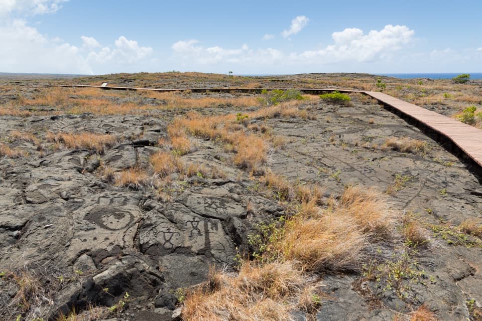
Parking
Start at Devastation Trail parking area on Crater Rim Drive. Puʻupuaʻi parking area is at the other end and can also be used as the start.
#6 of 33 trails in Hawaiʻi Volcanoes
Hawaiʻi Volcanoes National Park, HI
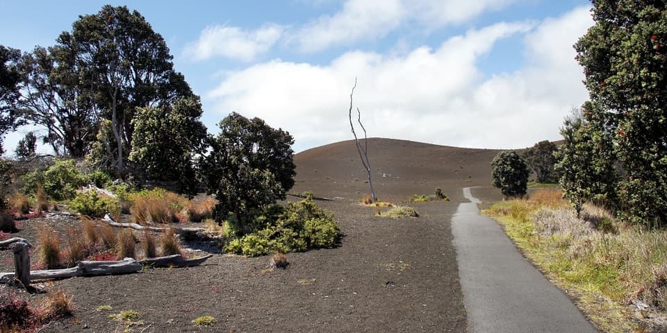
A short paved walk through cinder from Kīlauea Iki’s 1959 eruption.
Overview
Map & elevation
Plan your hike

The highest, rockiest slopes around here are a summer buffet for grizzly bears.
Hawaiʻi Volcanoes Tour Guide
Parkwolf is a GPS audio tour guide for Hawaiʻi Volcanoes National Park. As you drive, it chimes in with what’s ahead: hidden gems, upcoming stops, history, geology, and wildlife, right through your car’s speakers.
See the Hawaiʻi Volcanoes audio tourRecorded for this trailhead
Devastation: Choose Your Walk“Devastation Trailhead is coming up, with a choice of volcanic walks.”
Plays as you drive up to this trailhead in the Parkwolf Hawaiʻi Volcanoes Tour Guide.
More stories near here in the app
“Fantastic app with many points of information… It’s great to just turn on while you’re driving and it gives you an audio tour of the national Park. We love it!!!!”


Trail guide
Devastation Trail is a paved out-and-back of about 1 mile round trip, starting at either Devastation Trail parking or Puʻupuaʻi parking on Crater Rim Drive. The path between them is about half a mile; walk it and return the same way. Allow about an hour. This is a short walk to see the cinder landscape left by Kīlauea Iki’s 1959 eruption, not a segment of the longer Kīlauea Iki crater loop. Pick it for a quick, low-effort geological stop; choose a longer route if you want a substantial hike.
Kīlauea Iki erupted for 36 days in 1959, with 17 episodes of lava fountains. The highest reached 1,900 feet. Cinder and spatter built Puʻupuaʻi, whose name means “gushing hill,” while falling ash and cinder covered the surrounding ground. The trail lets you read that event at walking pace: the cone rises from the dark deposit, and patches of vegetation are returning across the landscape.
The eruption buried parts of Crater Rim Drive under several feet of ash and cinder. During the 1960–62 rebuilding, the park made a new road connection, added parking at Puʻupuaʻi, and built Devastation Trail through the damaged area. The walk is both a close look at eruption fallout and a reminder of how the park rebuilt access around it.
The surface is paved and the park describes the trail as wheelchair and stroller accessible, but some grades exceed 8 percent. It is not a flat promenade. Stay on the pavement and do not climb Puʻupuaʻi’s cinder cone. Bring water, a hat, sunscreen and rain gear; conditions around the summit can turn hot, dry, wet or windy.
Nēnē frequent the area. Watch for them around the road and parking areas, and do not feed them. Pets are prohibited on the park’s frontcountry and backcountry trails, including this one. Some visitors find the route too short; its strength is that you can see an unusual, historically important landscape without committing to a long day on foot.
Wildlife
 600 sightingsHawaiian Goose (Nēnē)Most seen around 5 PMSighting map
 35 sightingsGreen Sea TurtleMost seen around 11 AMSighting map
 36 sightingsHawaiian Hawk ('Io)Most seen around 11 AMSighting map
 41 sightingsBlack NoddyMost seen around 5 PMSighting map
 96 sightingsWhite-tailed TropicbirdMost seen around noonSighting map
 24 sightingsHawai'i 'ElepaioMost seen around 8 AMSighting map
Sighting maps show where each species has been reported across Hawaiʻi Volcanoes. Wildlife moves, so no sighting is guaranteed.
Keep exploring
 ModerateUēaloha (Byron Ledge) Trail2.2 mi · 1.5 hr · At the trailheadOpen cinder, forested ledge, and views of Puʻupuaʻi.
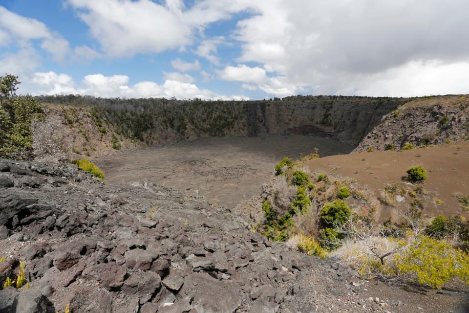 EasyKeanakākoʻi Crater Trail2 mi · 1.3 hr · At the trailheadAn easy walk on a former road reaches a 115-foot crater.
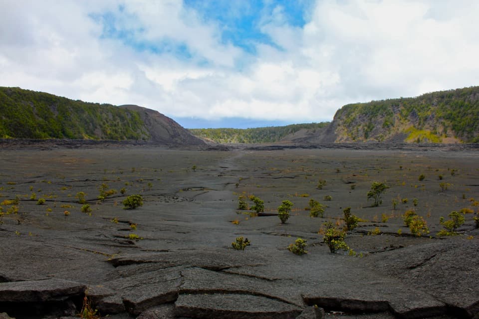 ModerateKīlauea Iki Trail3.3 mi · 2.5 hr · 1 mi awayCross a solidified lava lake beneath Puʻupuaʻi
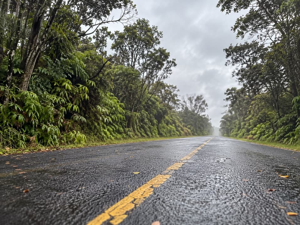 EasyEscape Road Trail3.8 mi · 2 hr · 1.1 mi awayA gentle forest descent from Nāhuku toward Mauna Ulu.
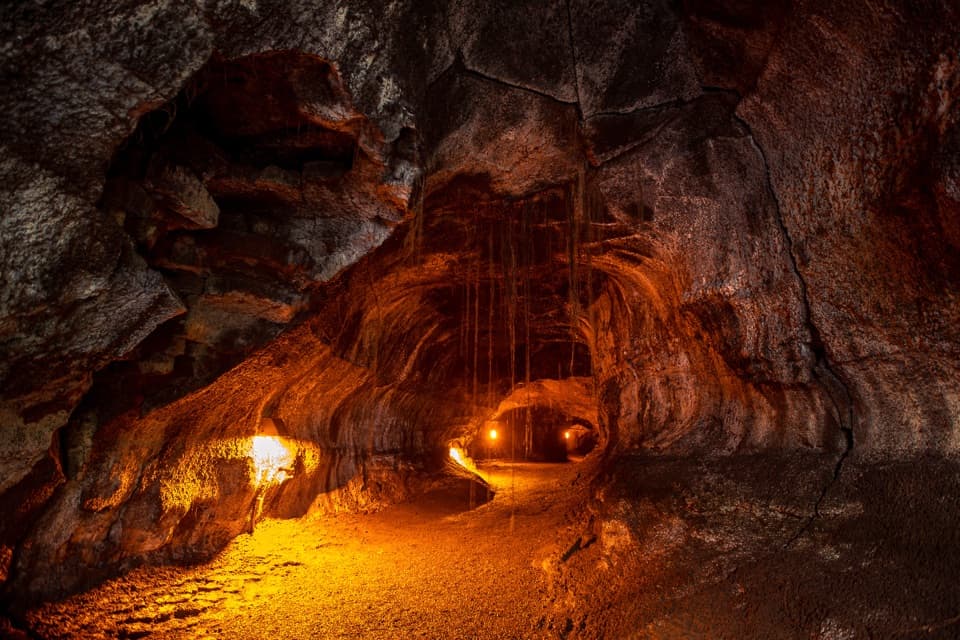 EasyNāhuku (Thurston Lava Tube) Trail0.4 mi · 30 min · 1.1 mi awayA short ferny walk leads into a 500-year-old lava tube.
 ModerateHalemaʻumaʻu Trail1.6 mi · 1.5 hr · 1.7 mi awayA short rainforest descent opens onto Kīlauea’s caldera floor.
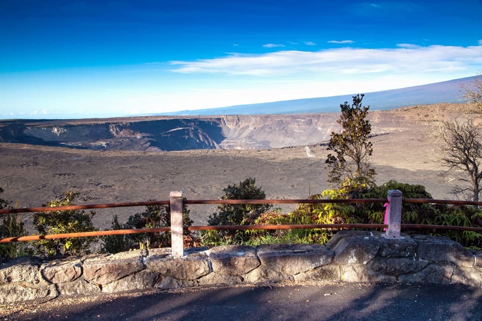 EasyKūpinaʻi Pali (Waldron Ledge) Trail1.2 mi · 54 min · 1.7 mi awayA short paved route to a broad caldera view
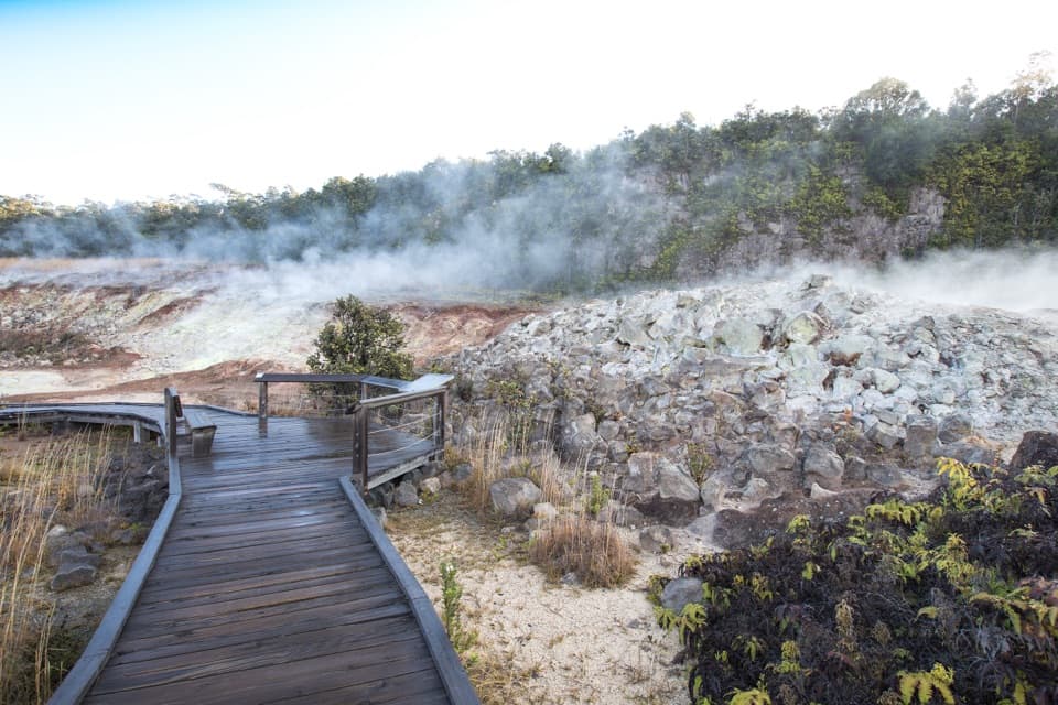 EasyHaʻakulamanu (Sulphur Banks) Trail1.2 mi · 36 min · 2 mi awayA short boardwalk walk past yellow sulfur and rising steam.
 Sight · 0.4 mi awayPuʻupuaʻi OverlookSee Kīlauea Iki from beside the cone its eruption built.
 Sight · 0.6 mi awayLuamanu and July 1974 FlowA crater holds the mark of lava that later drained away.
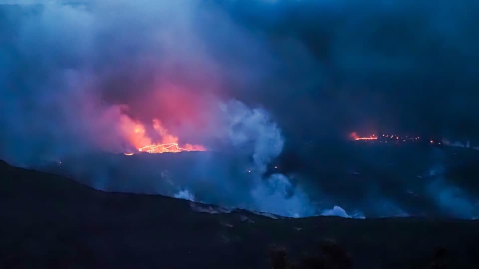 Sight · 0.6 mi awayEruption Viewing near Keanakākoʻi OverlookA two-mile round trip to a closer Halemaʻumaʻu view.Sight · 0.8 mi awayKeanakākoʻi CraterA short old-road walk reaches a crater layered with human history.
 Sight · 0.9 mi awayKīlauea Iki OverlookA quick rim stop above the crater of 1959's towering lava fountains.
 Sight · 1 mi awayPuhimau CraterA quick roadside look into one of Kīlauea's steep-walled pit craters.Sight · 1.2 mi awayKūpinaʻi Pali (Waldron Ledge)A broad Kaluapele view along the cracked, abandoned Crater Rim road.
 Sight · 1.2 mi awayNāhuku Lava TubeA rainforest walk opens into a lava tunnel.
Parkwolf’s Hawaiʻi Volcanoes ranking

The audio tour guide for the drive, plus offline maps, trails, and wildlife heatmaps for when the signal drops.