
Place · 0 mi away
Challenging
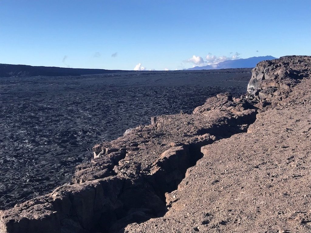
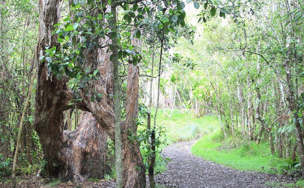
If you’re into vast, otherworldly volcanic terrain and serious Type 2 fun, this is your Big Island epic. Starting at the Mauna Loa Lookout, the route climbs from patchy ʻōhiʻa and shrubland into stark lava fields with panoramic views and the occasional glimpse of the Pacific. It’s rugged, exposed, and unforgettable.
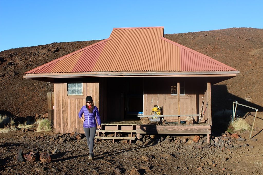
Plan on 36.2 miles total out-and-back to the Mauna Loa Cabin (18.1 miles one way). This is a very hard, high‑elevation trek over rough lava and cinder with little to no shade. Expect over 3,000 feet of gain to the first cabin (Red Hill/Puʻu ʻUlaʻula) and more as you continue upward. Rock cairns mark the way, which matters because the landscape can feel like a maze of black rock.
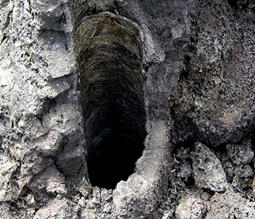
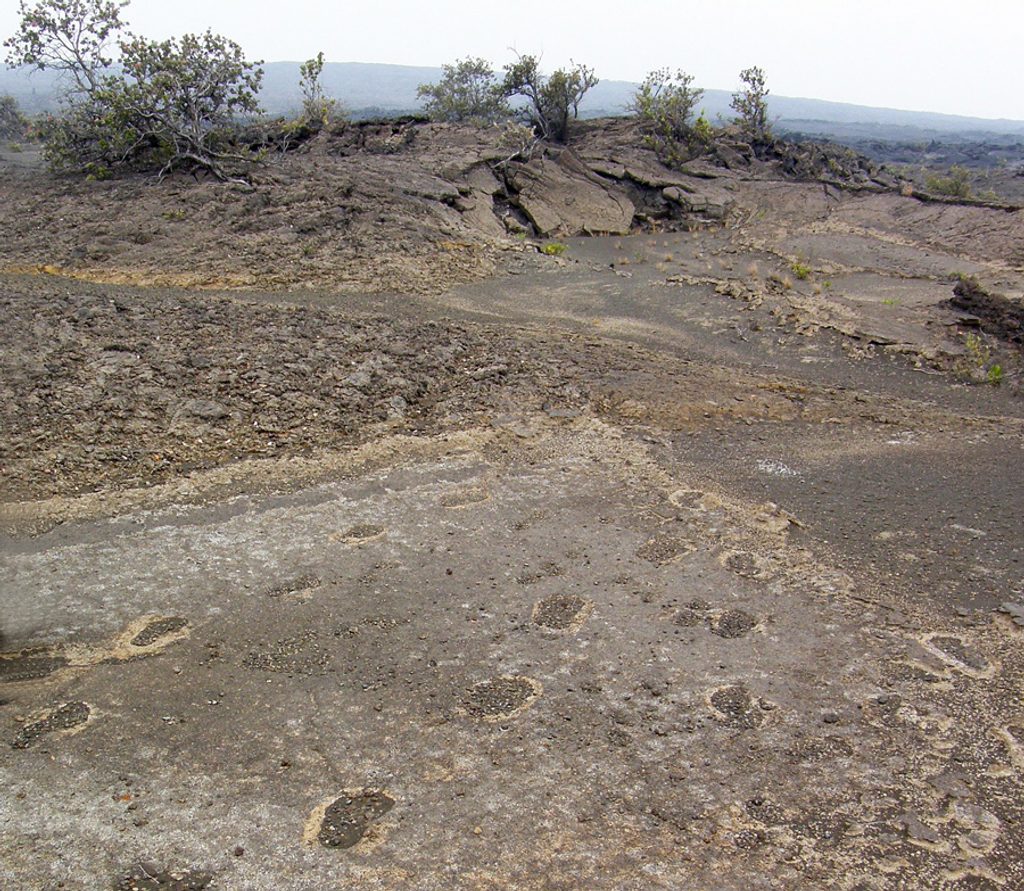
Lava everywhere—ropy flows, rugged ʻaʻā, and reported lava tubes along the route. Vegetation thins out quickly after about 8,100 feet, leaving a lunar vibe with big‑sky views. On clear days you’ll catch the ocean far below; up high, it’s all wind, sky, and volcanic forms.
This is cairn‑to‑cairn navigation across repetitive terrain. Do not disturb the rock piles—they’re your lifeline in low visibility. Bring a map/GPS, and be ready to turn around if clouds roll in.
Open year‑round, but fall and spring generally offer milder weather and clearer skies. Start early for cooler temps and calmer winds. Always check current NPS conditions and closures before you go; weather can change fast at altitude.
For experienced, self‑sufficient backpackers who want raw volcanic scenery and solitude, absolutely. If you’re after a quicker lava fix with less commitment, consider other park hikes—this one is a multiday grind with massive exposure and no water on trail.
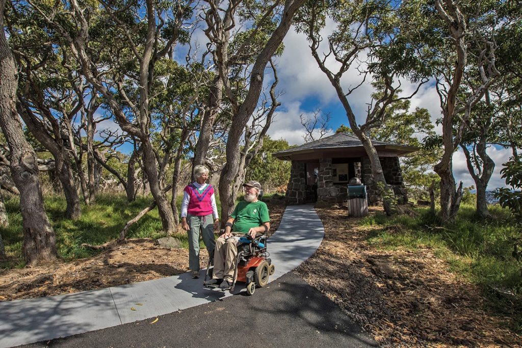
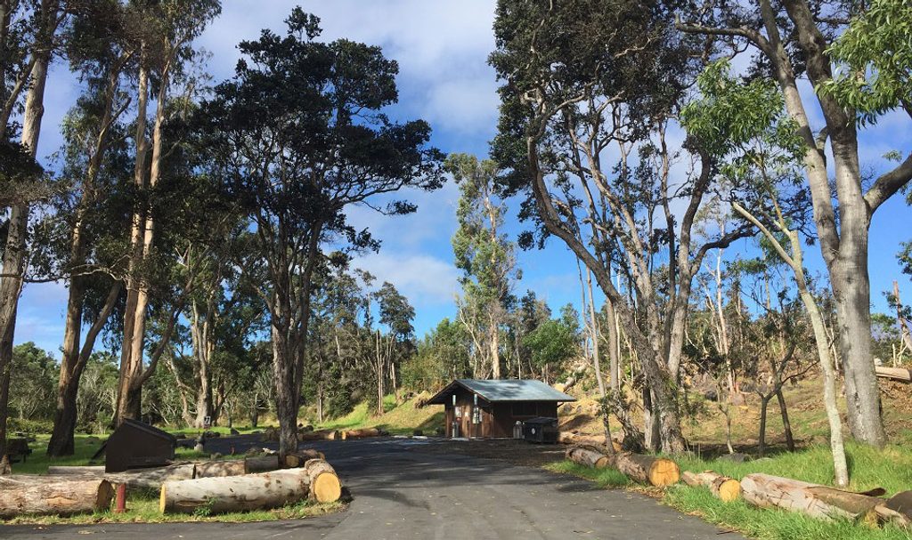
Park at the Mauna Loa Lookout lot at the end of Mauna Loa Road (trailhead by the lookout/picnic area).
High elevation, strong wind, cold and sudden rain possible year‑round; no shade; no flowing water; navigation is by rock cairns—easy to get disoriented in clouds or darkness. Overnight permits required; cabins are first‑come, first‑served. NPS notes the summit cabin is not accessible from this trail due to 2022 eruption damage.
Place · 0 mi away
Place · 5.8 mi away
Place · 6.6 mi away
Place · 7.5 mi away
Easy · 6.6 mi away
Easy · 7.9 mi away
Moderate · 8.1 mi away
Easy · 8.6 mi away

Parkwolf Tour Guide
