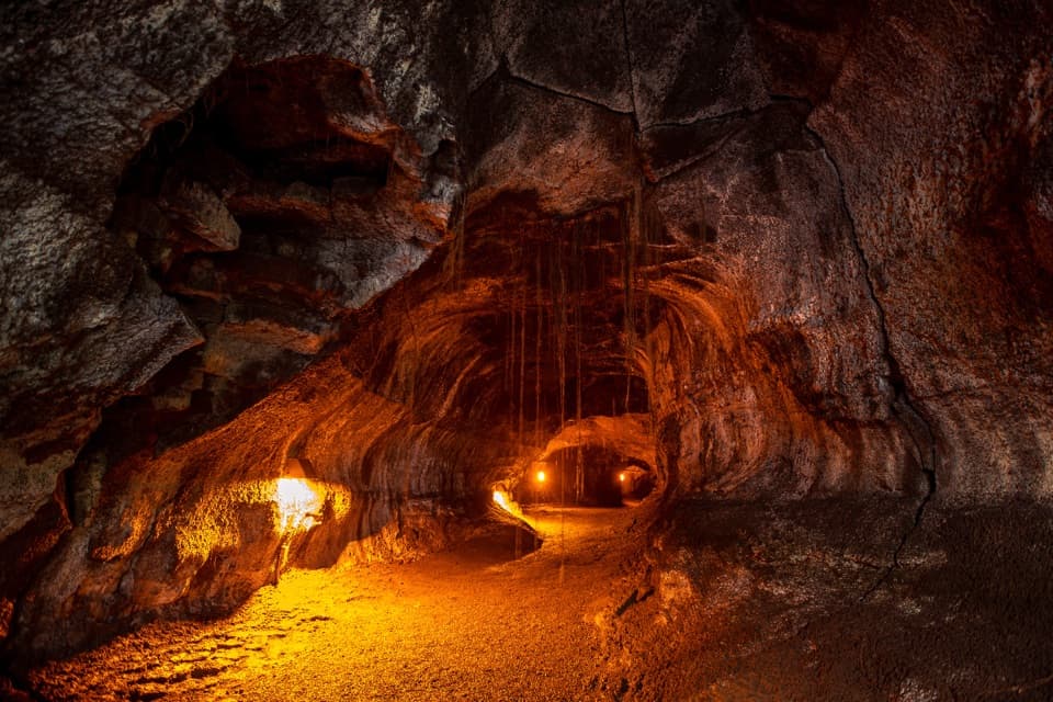
Parking
Start at Kīlauea Overlook parking off Crater Rim Drive. The named Crater Rim access is a short walk from the lot; follow the marked route east to Volcano House, then return the same way.

#5 of 33 trails in Hawaiʻi Volcanoes
Hawaiʻi Volcanoes National Park, HI
A 3.8-mile out-and-back from Kīlauea Overlook to Volcano House.
Overview
Map & elevation
Plan your hike

The highest, rockiest slopes around here are a summer buffet for grizzly bears.
Hawaiʻi Volcanoes Tour Guide
Parkwolf is a GPS audio tour guide for Hawaiʻi Volcanoes National Park. As you drive, it chimes in with what’s ahead: hidden gems, upcoming stops, history, geology, and wildlife, right through your car’s speakers.
See the Hawaiʻi Volcanoes audio tourRecorded for this trailhead
Kīlauea Overlook: A View or a Rim Walk“Up ahead is Kīlauea Overlook, with a short walk from parking to a broad view across the summit basin. You can enjoy this as a quick viewpoint stop without taking on a hike.”
Plays as you drive up to this trailhead in the Parkwolf Hawaiʻi Volcanoes Tour Guide.
More stories near here in the app
“Fantastic app with many points of information… It’s great to just turn on while you’re driving and it gives you an audio tour of the national Park. We love it!!!!”


Trail guide
Crater Rim Trail follows the edge of Kīlauea's summit caldera. Its full corridor has several access points and no single standard distance, so compare hikes by their start and turnaround. This is the 3.8-mile out-and-back from Kīlauea Overlook parking to Volcano House, about 1.9 miles each way. Allow around two hours with a few pauses. It's a good choice when you want a substantial caldera walk with steam and forest, without turning it into a long summit traverse. Follow this section to Volcano House, then return the way you came; it doesn't loop around the caldera.
Start at Kīlauea Overlook parking and head east. The path begins paved and runs over open ground, then changes among fine gravel and dirt before rougher stone near Volcano House. The grade is manageable, but the changing surface can be uneven underfoot. The trail crosses other named route junctions around the summit, so follow Crater Rim signs rather than taking a spur by accident. As the path opens toward the bluff, look out across the caldera and pause where steam rises beside the trail.
At Wahinekapu (Steaming Bluff), the steam is groundwater, not lava: rain seeps into cracks, reaches rocks heated by magma, vaporizes, then returns to the surface. Nearby Haʻakulamanu (Sulphur Banks) is different; deeper fractures can release sulfur dioxide and hydrogen sulfide along with steam. Don't assume the two stops have the same gases or experience. The railings at Wahinekapu make a strong photo foreground: frame the path so the steam is visibly coming from the ground beside it.
The larger Crater Rim corridor has access points at Uēkahuna, Kīlauea Overlook, Steam Vents and Volcano House, so a hike's mileage depends on where you start and stop. The 2018 summit collapse and later eruptions dramatically altered the caldera rim and damaged parts of the former road and trail. Older hike reports describe different start points and mileages. This mapped walk is one connected north-rim section; it isn't a full ring around Kīlauea caldera.
Bring food and water, and be ready for sun, wind or rain; conditions at the summit can swing from hot and dry to wet and windy in a short time. Stay on the marked trail and well back from cliff edges, ground cracks and steam-vent margins: the footing can be unstable and slippery. Pets aren't allowed on park trails. If you only want to see the steam, the short gravel path from Steam Vents parking to Wahinekapu is a separate 0.1-mile visit and can be traversed by wheelchair; it isn't a shortened version of this out-and-back.
Wildlife
 600 sightingsHawaiian Goose (Nēnē)Most seen around 5 PMSighting map
 35 sightingsGreen Sea TurtleMost seen around 11 AMSighting map
 36 sightingsHawaiian Hawk ('Io)Most seen around 11 AMSighting map
 41 sightingsBlack NoddyMost seen around 5 PMSighting map
 96 sightingsWhite-tailed TropicbirdMost seen around noonSighting map
 24 sightingsHawai'i 'ElepaioMost seen around 8 AMSighting map
Sighting maps show where each species has been reported across Hawaiʻi Volcanoes. Wildlife moves, so no sighting is guaranteed.
Keep exploring
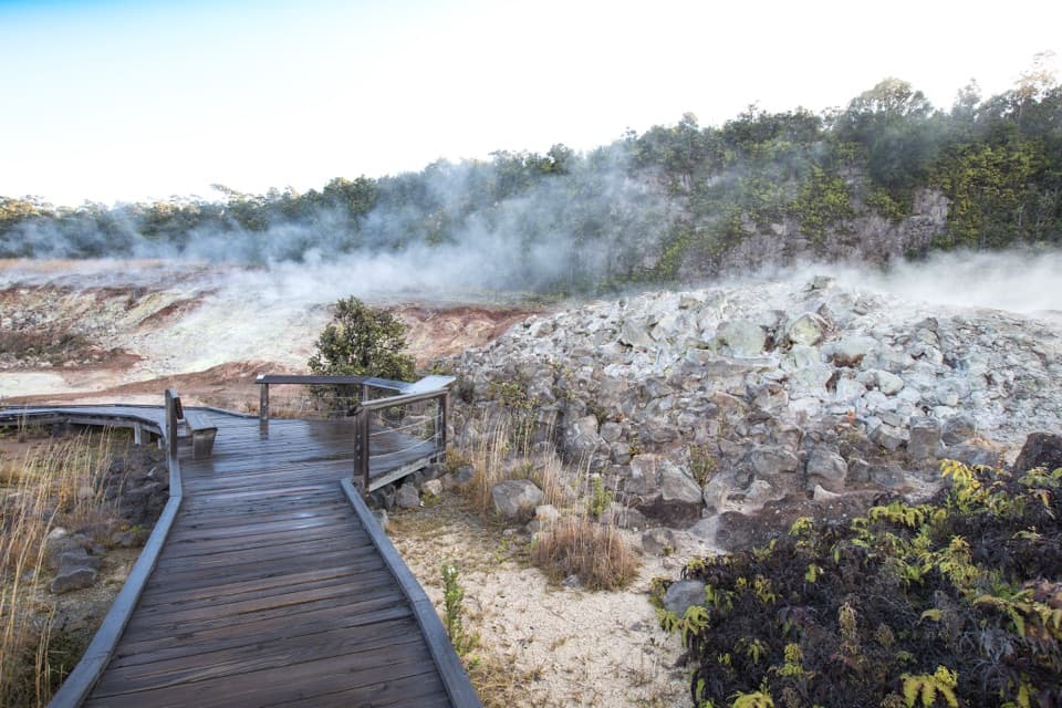 EasyHaʻakulamanu (Sulphur Banks) Trail1.2 mi · 36 min · 1.2 mi awayA short boardwalk walk past yellow sulfur and rising steam.
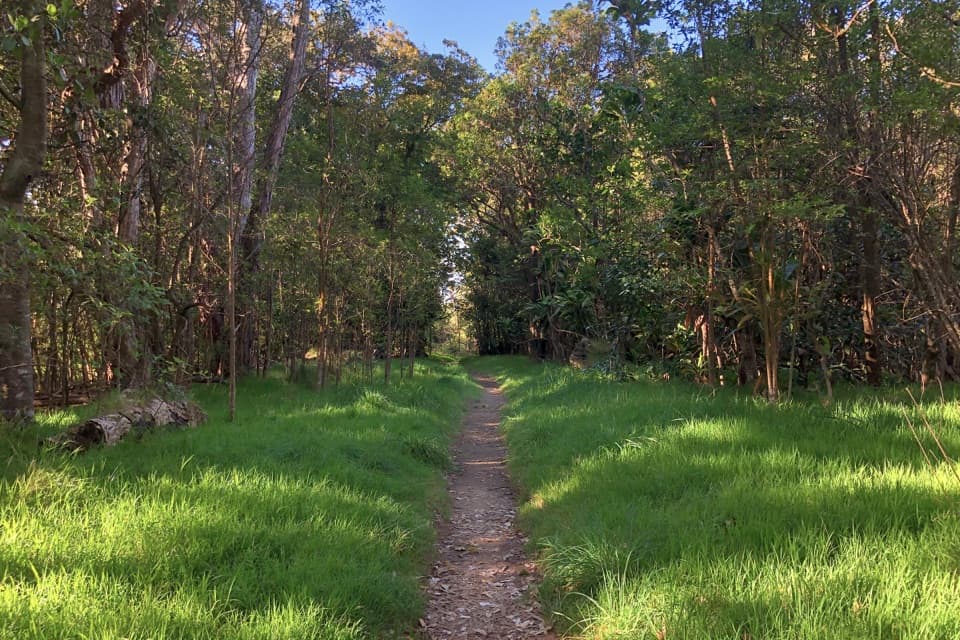 EasyKīpukapuaulu Trail1.2 mi · 1.3 hr · 1.5 mi awayA shaded loop through an ancient forest island in younger lava.
 ModerateHalemaʻumaʻu Trail1.6 mi · 1.5 hr · 1.7 mi awayA short rainforest descent opens onto Kīlauea’s caldera floor.
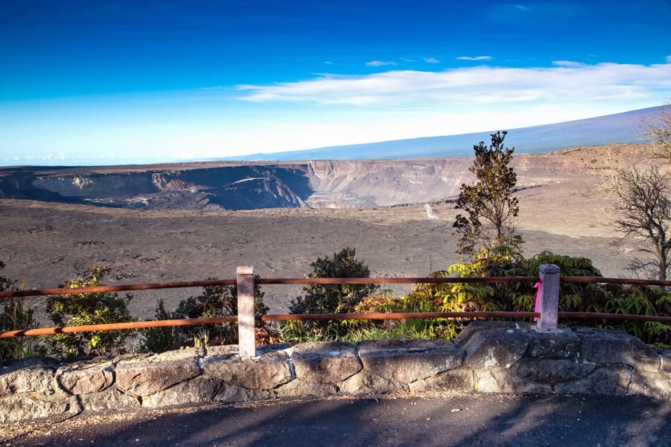 EasyKūpinaʻi Pali (Waldron Ledge) Trail1.2 mi · 54 min · 1.7 mi awayA short paved route to a broad caldera view
 ModerateUēaloha (Byron Ledge) Trail2.2 mi · 1.5 hr · 2.4 mi awayOpen cinder, forested ledge, and views of Puʻupuaʻi.
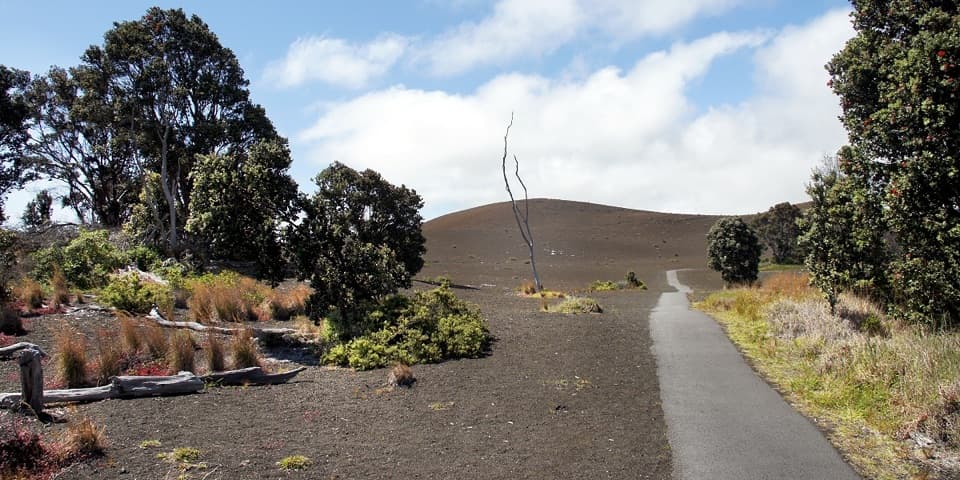 EasyDevastation Trail1 mi · 1 hr · 2.4 mi awayA short paved walk through cinder from Kīlauea Iki’s 1959 eruption.
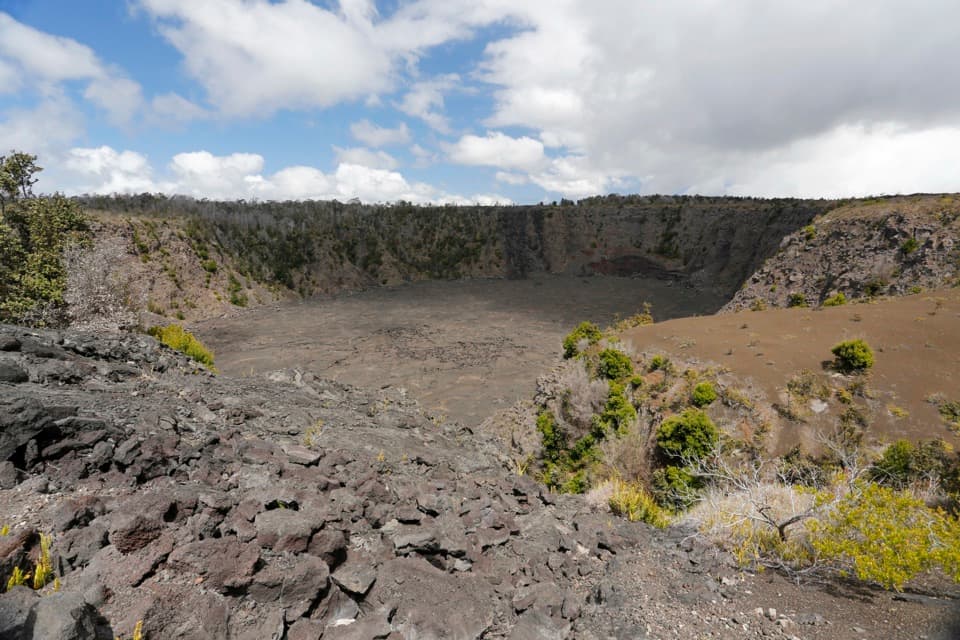 EasyKeanakākoʻi Crater Trail2 mi · 1.3 hr · 2.4 mi awayAn easy walk on a former road reaches a 115-foot crater.
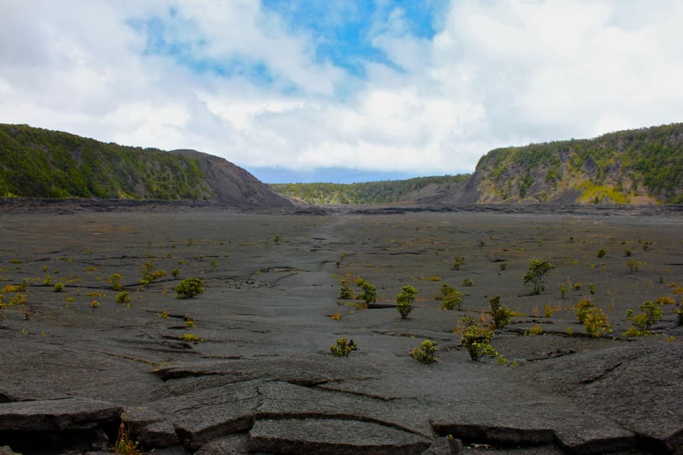 ModerateKīlauea Iki Trail3.3 mi · 2.5 hr · 2.8 mi awayCross a solidified lava lake beneath Puʻupuaʻi
 Sight · 0.1 mi awayKīlauea OverlookA short walk to a huge view into Kīlauea's caldera.
 Sight · 0.4 mi awayUēkahunaA caldera overlook and place of Native Hawaiian cultural practice.
 Campground · 0.7 mi awayNāmakanipaio CampgroundA simple in-park campground with tent sites and rustic cabins.
 Sight · 0.7 mi awayTree MoldsSee what a tree leaves behind when lava moves through a forest.
 Visitor center · 0.9 mi awayWelcome CenterA helpful stop for trail advice, maps and a park-store browse.
 Lodging · 0.9 mi awayKīlauea Military Camp (KMC)Lodging, dining and recreation at a historic park camp.
 Sight · 1.2 mi awayKūkamāhuākea Steam Vents and WahinekapuA short walk pairs summit steam with a view into Kīlauea's caldera.
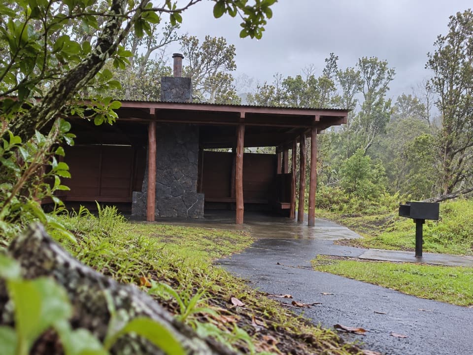 Picnic area · 1.4 mi awayKīpukapuaulu Picnic AreaA rain shelter and grill beside an older forest island.
Parkwolf’s Hawaiʻi Volcanoes ranking

The audio tour guide for the drive, plus offline maps, trails, and wildlife heatmaps for when the signal drops.