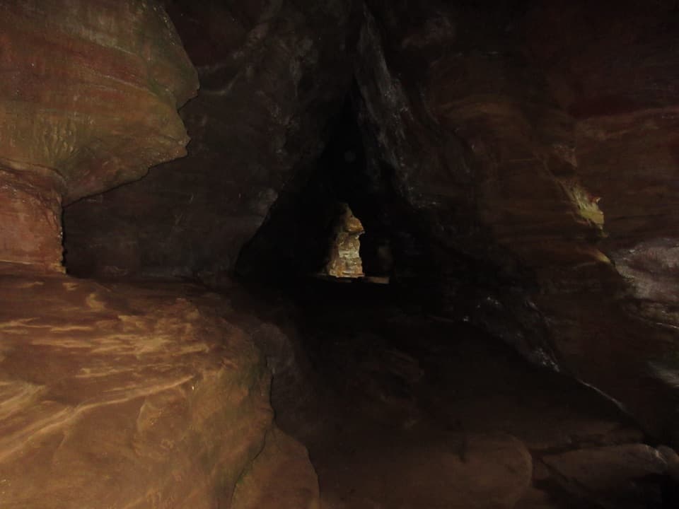
Parking
Use the Cedar Falls parking area off State Route 374. Follow signs to Trail Marker H across from the restrooms; the one-way route exits by Marker HH in the parking area.

#6 of 18 trails in Hocking Hills
Hocking Hills State Park, OH
A short waterfall loop with uneven, stepped gorge trails.
Overview
Map & elevation
Plan your hike

The highest, rockiest slopes around here are a summer buffet for grizzly bears.
Hocking Hills Tour Guide
Parkwolf is a GPS audio tour guide for Hocking Hills State Park. As you drive, it chimes in with what’s ahead: hidden gems, upcoming stops, history, geology, and wildlife, right through your car’s speakers.
Recorded for this trailhead
Cedar Falls“You're coming up on Cedar Falls, where Queer Creek spills across a sculpted sandstone face. Allow about forty minutes for the short loop, with uneven steps down and a rougher climb out.”
Plays as you drive up to this trailhead in the Parkwolf Hocking Hills Tour Guide.
More stories near here in the app
“Fantastic app with many points of information… It’s great to just turn on while you’re driving and it gives you an audio tour of the national Park. We love it!!!!”


Trail guide
Cedar Falls Trail is a 0.6-mile one-way loop from Trail Marker H through the gorge to the parking area. Allow about 40 minutes, plus a little time at the water. You reach Cedar Falls on Queer Creek and return by a rougher stepped leg. This is the short, close-up waterfall walk, not the longer routes that connect toward Old Man’s Cave or Ash Cave. The mileage is modest, but the steps make it a real hike. If uneven stairs are hard for you, or you need a stroller- or wheelchair-friendly path, skip this one.
Start at Marker H, across from the flush restrooms, then follow the yellow Cedar Falls markers. Uneven stone and wooden steps drop toward Queer Creek. From the creek, the stretch to the waterfall is easier and passes bridges, rock formations and cliff walls under hemlocks. After the falls, keep following the marked route; the tread gets rougher and another set of steps takes you back out by Marker HH and the parking area. Stay on the marked trail. Other routes leave this area too, but they continue much farther through the park.
Cedar Falls drops about 50 feet over Black Hand sandstone into a pool. Flow depends on rain and season; after a long dry spell the falls may be a trickle or nearly dry, so the gorge itself is part of the payoff. When water is flowing, frame the sandstone ledge and pool with the cascade instead of zooming in on just the water. The walk is worth doing for the close rock walls and creek even when the waterfall is running low.
The descent is called Democracy Steps. Artist, architect and mathematician Akio Hizume designed it in 1997 as a gently winding way down from the parking area. The staircase has nearly 100 steps; their lengths vary so walkers alternate the leading foot and settle into a steady rhythm. Hizume built the pattern around the Fibonacci sequence and a one-dimensional Penrose lattice. The steps use recycled material and were designed to drain well. You don’t need the math to notice how different this is from a straight flight of identical stairs.
Black Hand Sandstone was deposited more than 350 million years ago; later uplift and stream erosion carved the cliffs and ravines around Queer Creek. The waterfall gives you a close look at that work: the creek spills across a sculpted sandstone face in a shaded gorge. Hemlock, beech and maple grow around the route. A local explanation for the name is that early settlers mistook the hemlocks for cedars.
Wildlife
 16 sightingsWhite-tailed DeerMost seen around 7 AMSighting map
 87 sightingsSnapping TurtleMost seen around 5 PMSighting map
 14 sightingsChipmunkMost seen around 8 AMSighting map
 19 sightingsGray RatsnakeMost seen around 6 PMSighting map
 47 sightingsWatersnakeMost seen around 10 AMSighting map
 11 sightingsRing-necked SnakeMost seen around 7 PMSighting map
Sighting maps show where each species has been reported across Hocking Hills. Wildlife moves, so no sighting is guaranteed.
Keep exploring
 ModerateRose Lake Trail2.5 mi · 1.5 hr · 1 mi awayA rooty 2.5-mile walk to loop Hocking Hills’ 17-acre lake.
 ModerateWhispering Cave Trail from the Lodge0.6 mi · 45 min · 1.4 mi awayFrom the Lodge, steep steps lead to a broad sandstone recess.
 ModerateBroken Rock Trail0.3 mi · 20 min · 1.4 mi awayA short, steep stair climb to a sandstone cleft waterfall
 ChallengingGrandma Gatewood Trail5.3 mi · 3.5 hr · 1.4 mi awayA tough 5.3-mile crossing for waterfalls, caves and sandstone gorge.
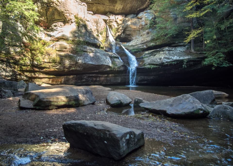 ModerateGorge Overlook Trail2.8 mi · 1.8 hr · 1.5 mi awayA point-to-point gorge walk from Old Man’s Cave to Cedar Falls.
 ModerateOld Man’s Cave Trail1 mi · 1 hr · 1.5 mi awayA one-mile gorge loop past a waterfall, cave and stone tunnels.
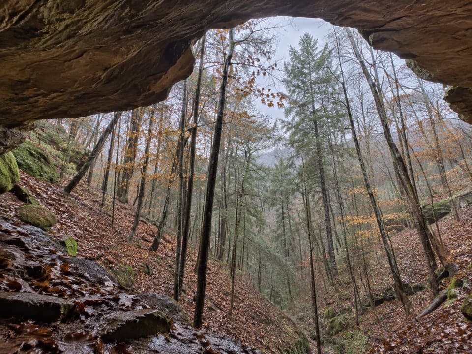 ChallengingWhispering Cave Trail3.3 mi · 3 hr · 1.5 mi awayA rugged one-way circuit to Whispering Cave via Hemlock Bridge.
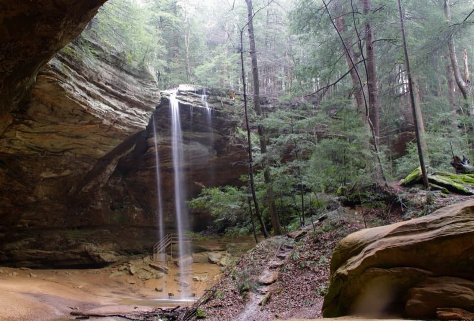 EasyAsh Cave Gorge Trail0.6 mi · 36 min · 1.9 mi awayAn easy paved walk to a huge sandstone cave and seasonal falls.
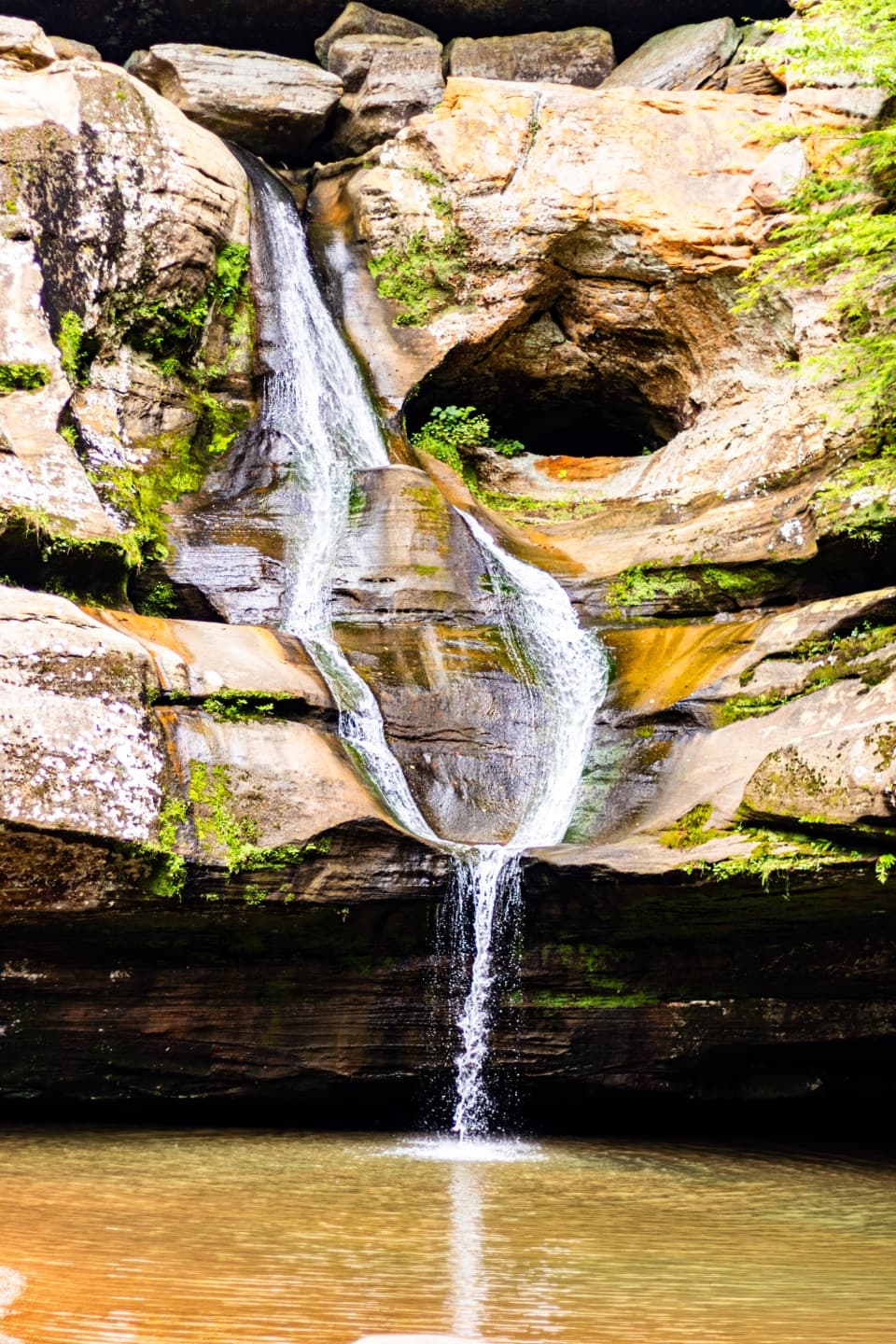 Sight · 0.1 mi awayCedar FallsA sandstone gorge walk where rain gives the waterfall its show.
 Sight · 0.5 mi awayWhispering FallsA narrow fall on Queer Creek, strongest after rain.Sight · 0.9 mi awayRose LakeA half-mile woodland walk opens onto a quiet fishing lake.
 Sight · 0.9 mi awayAsh Cave Fire TowerA 1934 steel lookout with a weather-dependent climb and wooded views
 Campground · 1 mi awayHocking Hills State Park Youth Group CampgroundA primitive tent base between Cedar Falls and Ash Cave.
 Campground · 1.2 mi awayHocking Hills State Park Hike-In CampgroundCarry your camp in; the woods are the tradeoff and the draw.
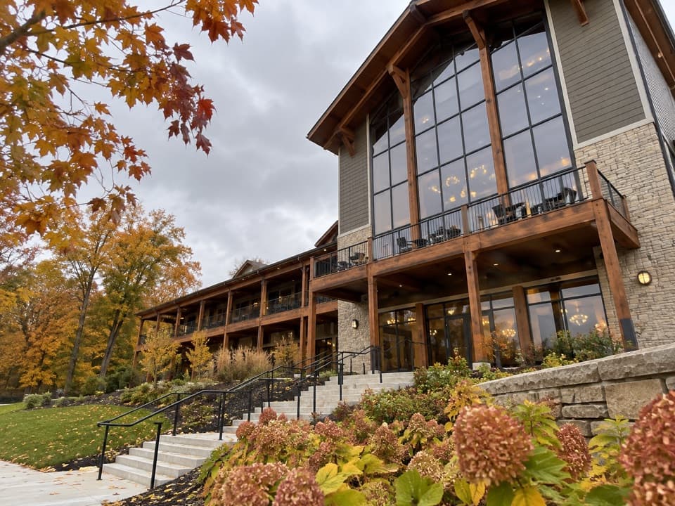 Lodging · 1.3 mi awayHocking Hills Lodge & Conference CenterAn 81-room stay with cabins, trail access and indoor-outdoor pools.
 Restaurant · 1.4 mi awayRock House RestaurantA sit-down meal at the park lodge with a forest view.
Parkwolf’s Hocking Hills ranking

The audio tour guide for the drive, plus offline maps, trails, and wildlife heatmaps for when the signal drops.