Gorge Overlook Trail in Hocking Hills State Park

#10 of 18 trails in Hocking Hills

Hocking Hills State Park, OH

Gorge Overlook Trail

A point-to-point gorge walk from Old Man’s Cave to Cedar Falls.

Length
2.8mi
Time
1.8hr
Elev. change
109ft
Difficulty
Moderate
  • Dogs allowed
  • High point 928 ft

Hear the audio tour

Old Man's Cave

Overview

About Gorge Overlook Trail

Why go

  • Connects the Old Man’s Cave and Cedar Falls areas with Rose Lake in between.
  • Crossing the Rose Lake dam gives the walk a clear midway landmark.

Heads up

  • The 2.8-mile route is point to point, so plan a pickup or separate cars.
  • Uneven natural tread and short steep grades make it more than a stroll.

Map & elevation

The route

Loading the Hocking Hills map
Full map
Elevation819–928 ft
TrailheadOld Man's Cave Visitor Center parking39.43621, -82.54035
Keep this map with you offline in the Parkwolf app

Plan your hike

Before you go

Parking

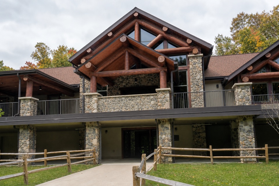
Start at Old Man’s Cave Visitor Center parking off State Route 664; the mapped route finishes by Cedar Falls parking off State Route 374. Both ends have parking, but this is a 2.8-mile point-to-point walk, so arrange a pickup or leave a second car.


Safety

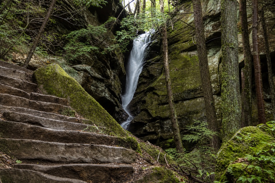
Expect uneven dirt, sandstone, clay and gravel with some steep grades. Hocking Hills uses one-way routing on some paths, so follow posted direction signs. Winter trails are typically icy.

A park ranger sits on a dash-mounted phone, talking, as Parkwolf’s Tour Guide plays “Army Cutworm Moths: A Grizzly Bear Buffet” on Grand Loop Road below Dunraven Pass in Yellowstone
Parkwolf Tour GuideThe highest, rockiest slopes around here are a summer buffet for grizzly bears.

Hocking Hills Tour Guide

Your drive to Gorge Overlook Trail, narrated.

Parkwolf is a GPS audio tour guide for Hocking Hills State Park. As you drive, it chimes in with what’s ahead: hidden gems, upcoming stops, history, geology, and wildlife, right through your car’s speakers.

Recorded for this trailhead

Old Man's Cave
0:00 / 0:28
“You're approaching Old Man's Cave, where the creek winds past waterfalls, stone tunnels and a huge sandstone shelter.”

Plays as you drive up to this trailhead in the Parkwolf Hocking Hills Tour Guide.

More stories near here in the app

  • Hocking Hills State Park Campground
  • Hocking Hills Hike-In Campground
  • Rose Lake Walking Access
  • John Glenn Astronomy Park
  • 22 audio storiesacross Hocking Hills’s roads, triggered by GPS as you drive
  • Wildlife heatmapsfor White-tailed Deer, Snapping Turtle, Chipmunk, and 9 more
  • Works offlinemaps, 18 trails, 29 places, and audio download before you lose signal
  • CarPlay readysimple controls built for the drive
★★★★★
“Fantastic app with many points of information… It’s great to just turn on while you’re driving and it gives you an audio tour of the national Park. We love it!!!!”
JMJamesApp Store review
Download Parkwolf on the App StoreGet Parkwolf on Google Play

4.7 from 8,600+ ratings

Trail guide

Hiking Gorge Overlook Trail

A point-to-point walk between two park favoritesGorge Overlook Trail is a 2.

Gorge Overlook Trail is a 2.8-mile point-to-point hike from Old Man’s Cave Visitor Center to Cedar Falls, passing Rose Lake dam along the way. It stays on the wooded gorge-side trail rather than looping through Old Man’s Cave’s lower gorge. If you want to connect two of Hocking Hills’ best-known waterfall areas in one outing, this is a good choice; the 2.8 miles is the walk between the two ends, so plan your ride back.

Plan for both endsStart at Old Man’s Cave Visitor Center parking and finish at Cedar Falls parking.

Start at Old Man’s Cave Visitor Center parking and finish at Cedar Falls parking. Allow about 1½ to 2 hours for the route, plus time at the lake or falls. The park rates it moderate. Expect soil, sandstone, clay and gravel underfoot, with uneven footing and some short steep grades. Many Hocking Hills paths have directional routing, so follow signs where posted rather than assuming every segment can be reversed.

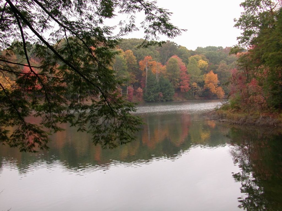
Rose Lake is the midpointThe park places the Rose Lake view about a mile and a half from the visitor-center end.

The park places the Rose Lake view about a mile and a half from the visitor-center end. The route crosses the dam, where the forest opens to the water for a change of pace. Rose Lake covers 17 acres and is also used for fishing and paddling; the roadside access is a separate half-mile walk and isn’t part of this route.

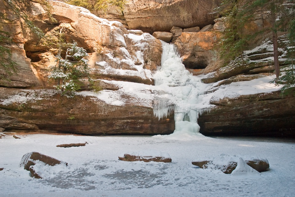
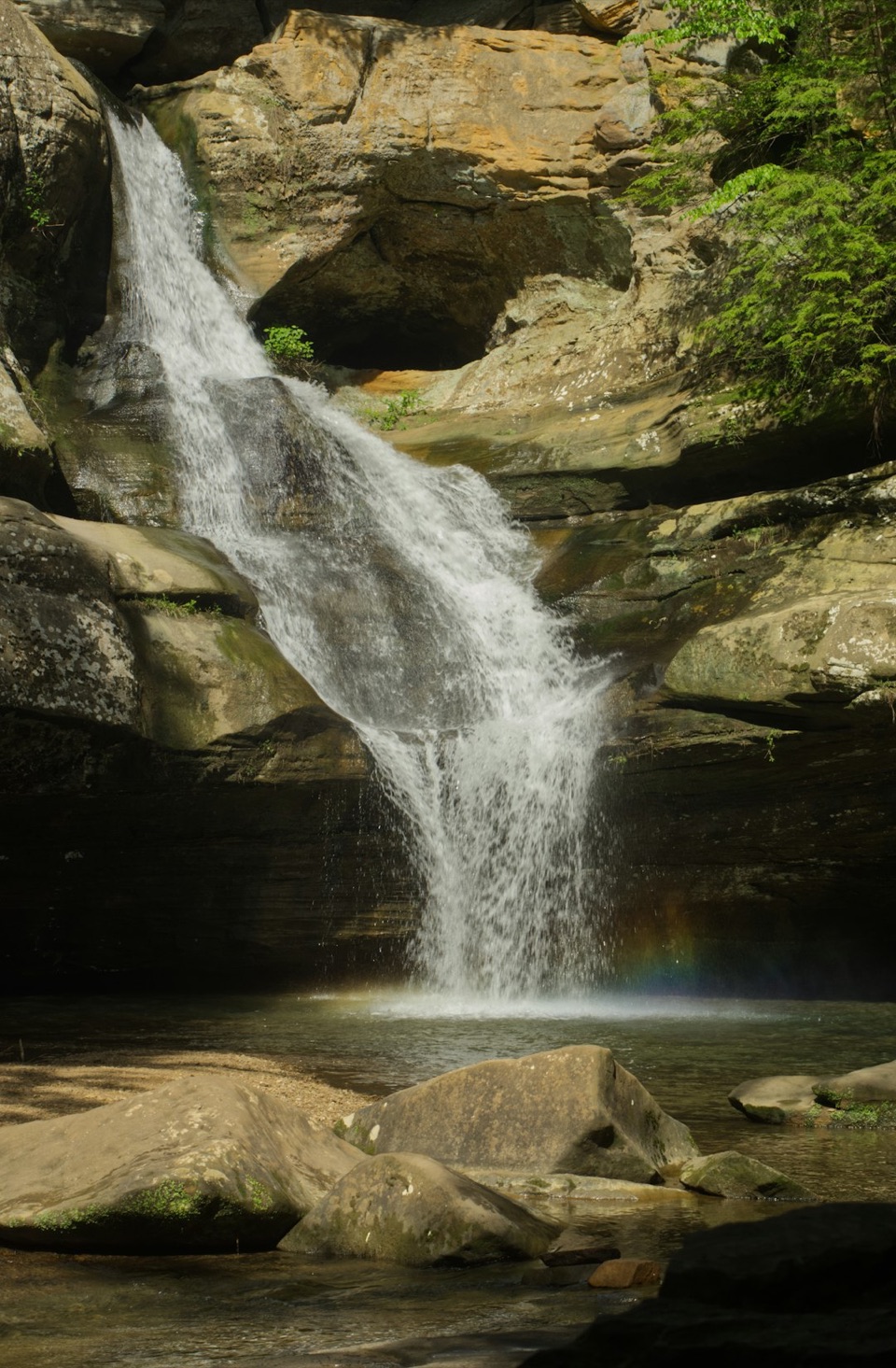
Finish at Cedar FallsThe trail ends by Cedar Falls.

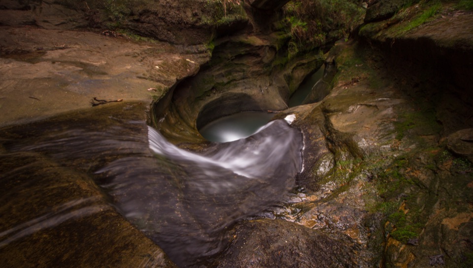
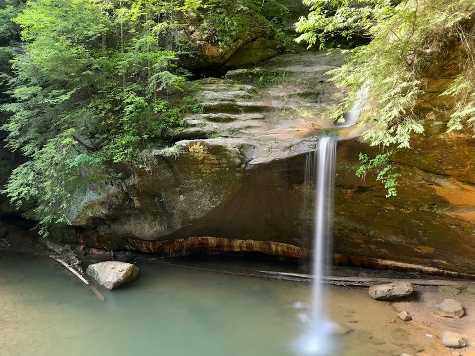
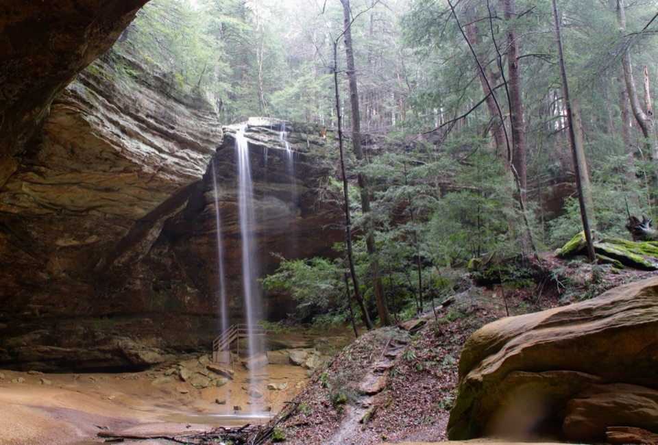
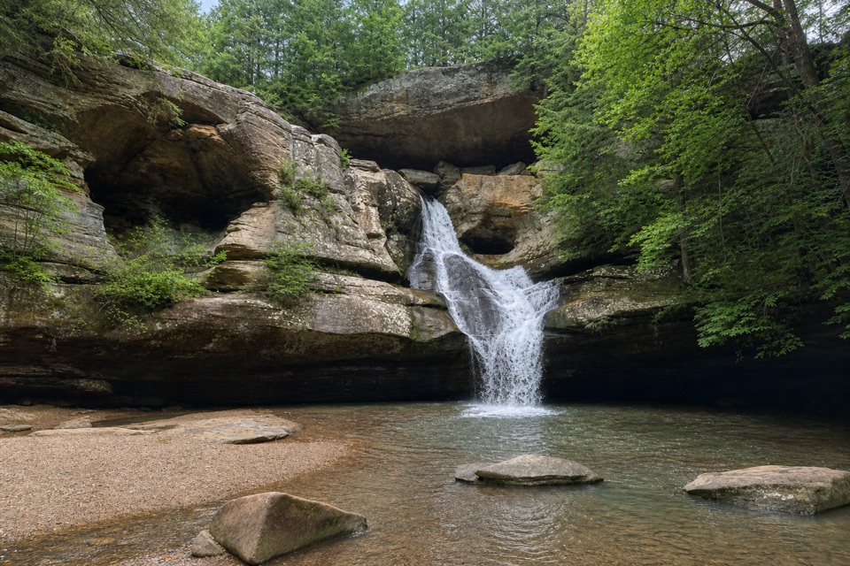
The trail ends by Cedar Falls. Queer Creek drops over sandstone here, and how much water you see changes with conditions. Give the falls some of the surrounding rock in your photo; the broad ledges and overhang are part of the scene. If Cedar Falls is your only goal, the separate Cedar Falls Trail is listed at 0.4 mile on the park map, without the longer Rose Lake connection.

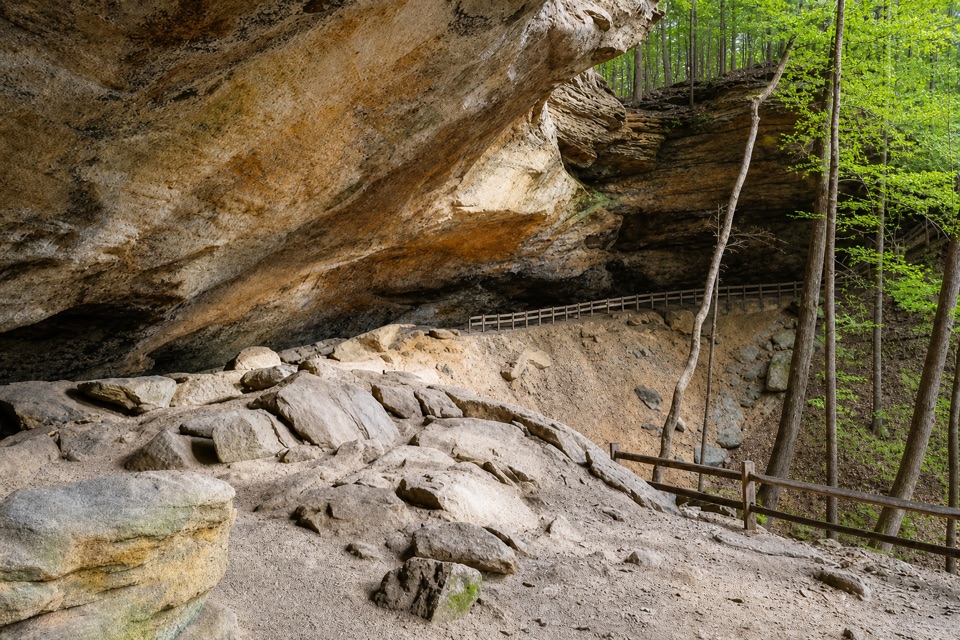
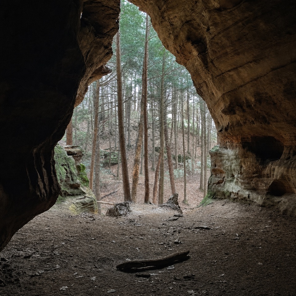
A sandstone gorgeThe sandstone has a softer middle layer between tougher upper and lower layers.

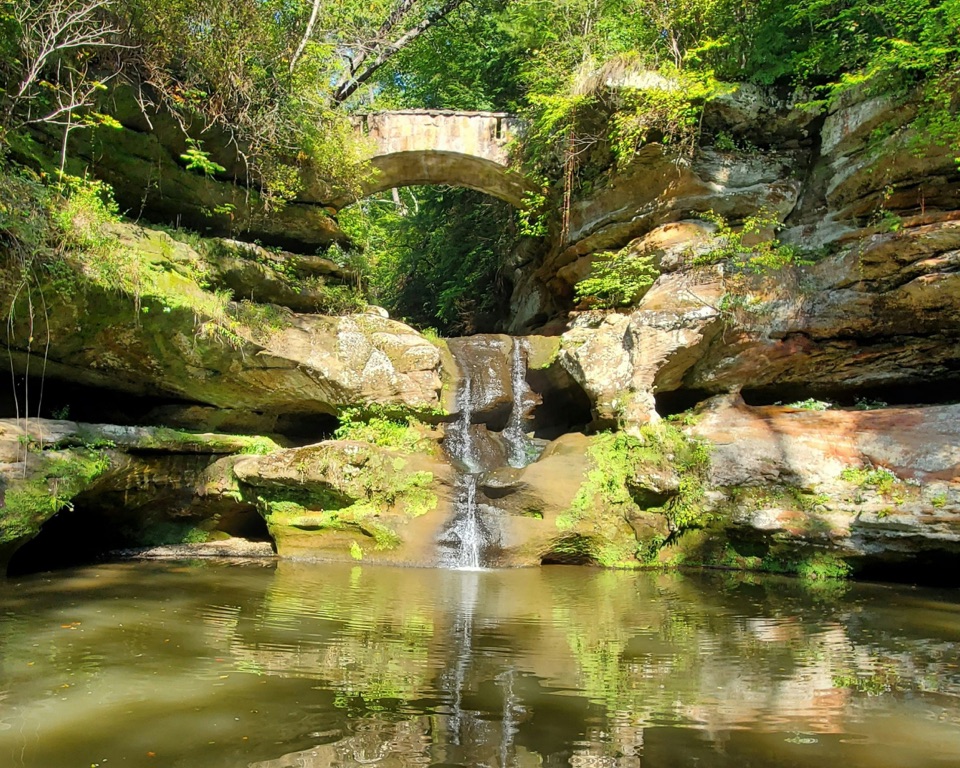
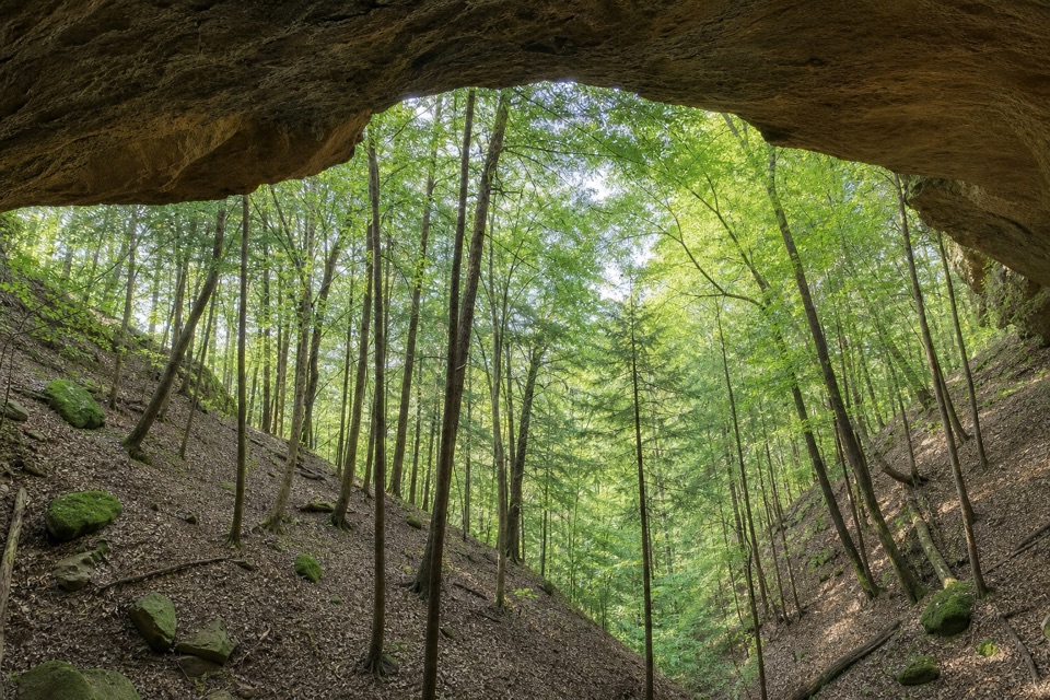
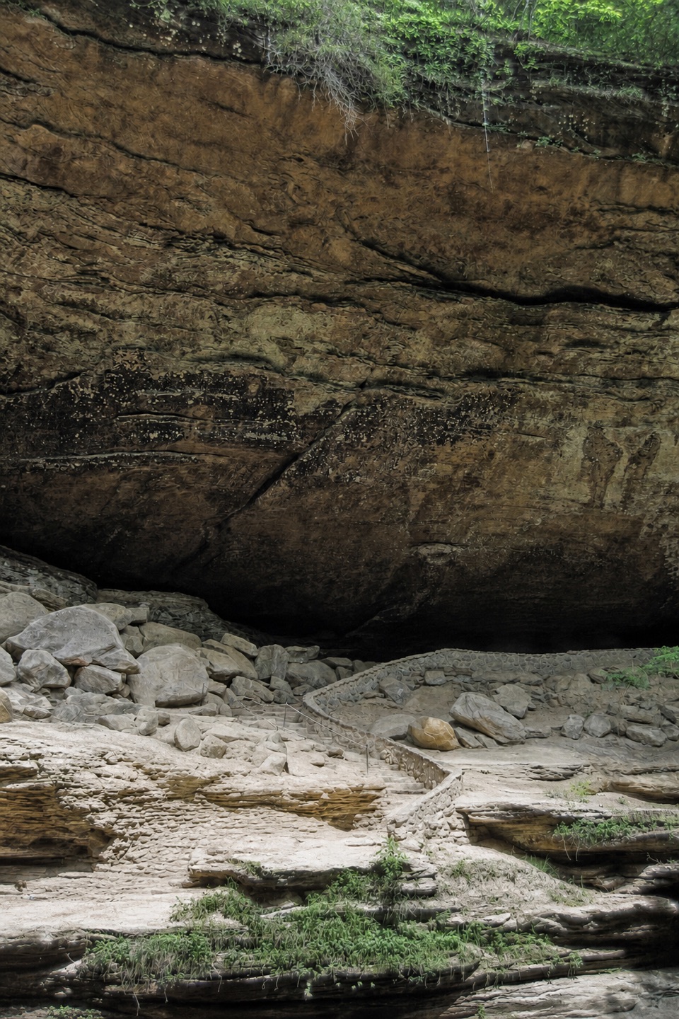
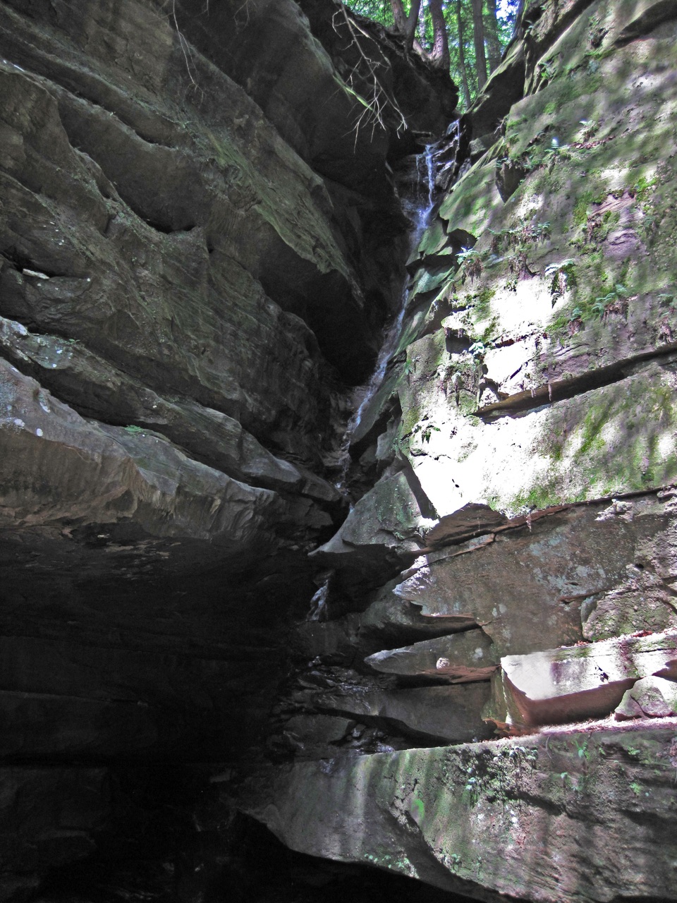
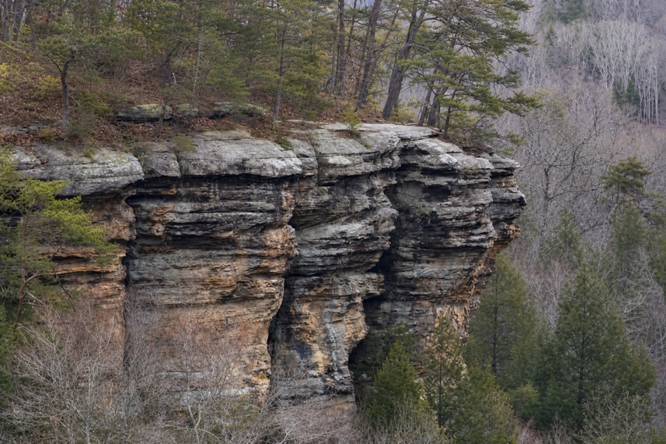
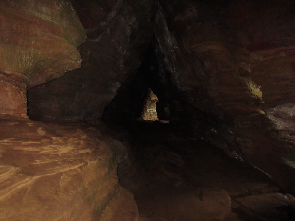
The sandstone has a softer middle layer between tougher upper and lower layers. As water wears away the middle, it leaves recess caves like the one at the Old Man’s Cave end of this walk. The “old man” behind the name may have been a trapper who settled here in the 1790s, though his identity was never established. The cave and Middle Falls are nearby sights on the separate gorge paths, not stops on this higher connector.

Wildlife

Wildlife in Hocking Hills

All Hocking Hills wildlife maps

Sighting maps show where each species has been reported across Hocking Hills. Wildlife moves, so no sighting is guaranteed.

Keep exploring

Near Gorge Overlook Trail

See it all on the map

Trails that start nearby

Places near the trailhead

Parkwolf’s Hocking Hills ranking

Top-rated trails in Hocking Hills

All 18 trails
  1. 1Old Man’s Cave TrailModerate · 1 mi
  2. 2Ash Cave Gorge TrailEasy · 0.6 mi
  3. 3Conkles Hollow Rim TrailChallenging · 2 mi
  4. 4Whispering Cave TrailChallenging · 3.3 mi
  5. 5Rock House Gorge TrailModerate · 0.6 mi
  6. 6Cedar Falls TrailModerate · 0.6 mi

Take Parkwolf to Hocking Hills.

The audio tour guide for the drive, plus offline maps, trails, and wildlife heatmaps for when the signal drops.

4.7 from 8,600+ ratings

Download Parkwolf on the App StoreGet Parkwolf on Google Play