Overview
About Cedar Falls
Why stop
- A sculpted sandstone waterfall in a shaded gorge, with an unusual staircase on the approach.
Heads up
- Nearly 100 steps and rough footing make the loop a poor fit for strollers or anyone unsteady.
Map
Where it is

The highest, rockiest slopes around here are a summer buffet for grizzly bears.
Hocking Hills Tour Guide
Your drive to Cedar Falls, narrated.
Parkwolf is a GPS audio tour guide for Hocking Hills State Park. As you drive, it chimes in with what’s ahead: hidden gems, upcoming stops, history, geology, and wildlife, right through your car’s speakers.
Recorded for this place
Cedar Falls“You're coming up on Cedar Falls, where Queer Creek spills across a sculpted sandstone face. Allow about forty minutes for the short loop, with uneven steps down and a rougher climb out.”
Plays as you drive up to Cedar Falls in the Parkwolf Hocking Hills Tour Guide.
More stories near here in the app
- Ash Cave Fire Tower
- Rose Lake Walking Access
- Hocking Hills Hike-In Campground
- Hocking Hills State Park Campground
- 22 audio storiesacross Hocking Hills’s roads, triggered by GPS as you drive
- Wildlife heatmapsfor White-tailed Deer, Snapping Turtle, Chipmunk, and 9 more
- Works offlinemaps, 18 trails, 29 places, and audio download before you lose signal
- CarPlay readysimple controls built for the drive
“Fantastic app with many points of information… It’s great to just turn on while you’re driving and it gives you an audio tour of the national Park. We love it!!!!”


Guide
More about Cedar Falls
What you get for the walkCedar Falls is a waterfall on Queer Creek, where water drops across a sculpted Black Hand…
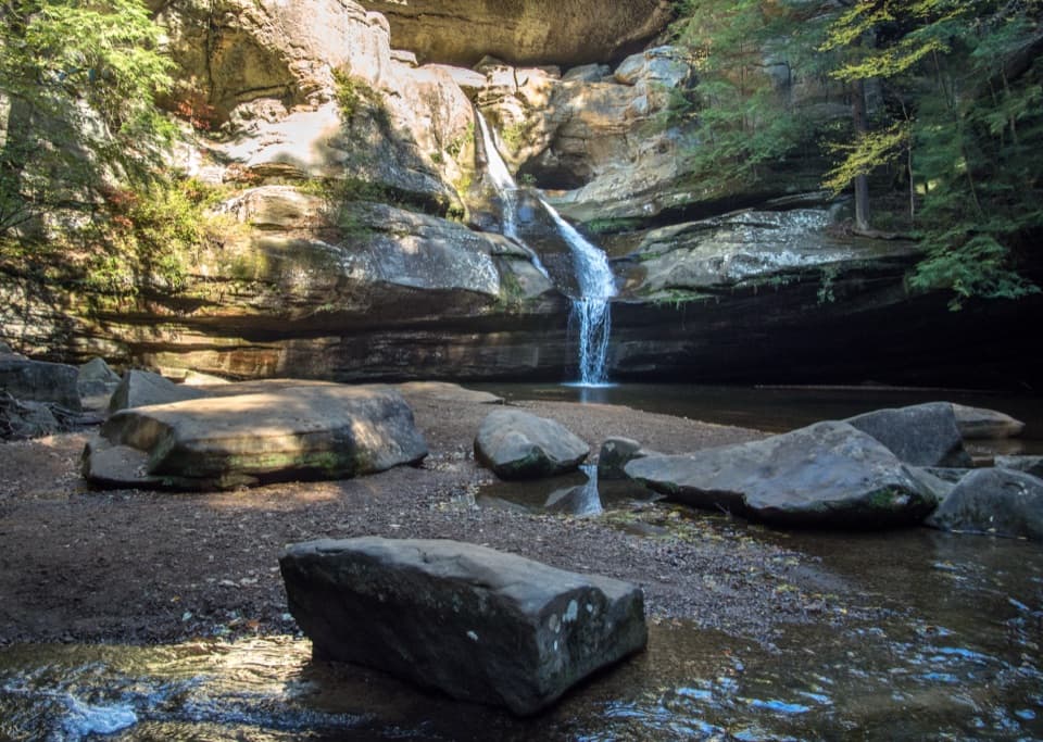
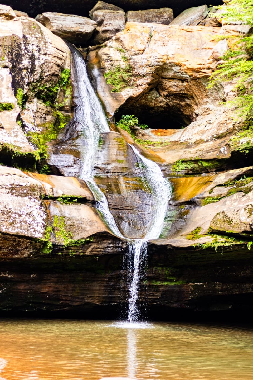
Cedar Falls is a waterfall on Queer Creek, where water drops across a sculpted Black Hand Sandstone face into a pool in a narrow gorge. The overhangs, grottos and hemlocks make the place worth seeing even when the flow is low. Set aside about 40 minutes for the short loop; expect plenty of steps and uneven ground. If the waterfall itself is your priority, go after rain, when the creek usually runs stronger.
Follow the steps downThe trail begins at Marker H, across the parking area from the restrooms.
The trail begins at Marker H, across the parking area from the restrooms. The Democracy Steps descend toward the creek and falls. Stone and wooden steps lead down, and the section beyond the waterfall has more steps and rougher footing before the route returns to the lot. This is not a wheelchair or stroller route.
A staircase with a patternThe nearly 100 serpentine Democracy Steps were designed by Akio Hizume in 1997.
The nearly 100 serpentine Democracy Steps were designed by Akio Hizume in 1997. Their changing lengths prompt hikers to alternate their leading foot, and the pattern draws on the Fibonacci sequence and a one-dimensional Penrose lattice. Recycled material and built-in drainage helped the steps hold up. Take a look at the staircase on the way down and back; it is one of the most distinctive parts of the visit.
How the gorge took shapeThe seven landmark areas of Hocking Hills are cut into Black Hand Sandstone deposited more than…
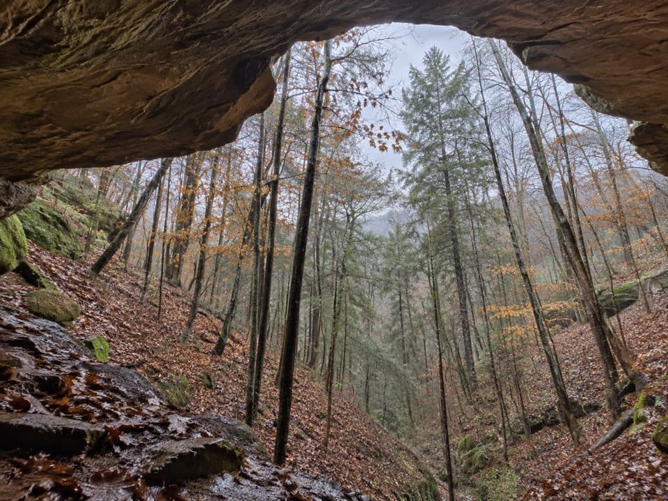
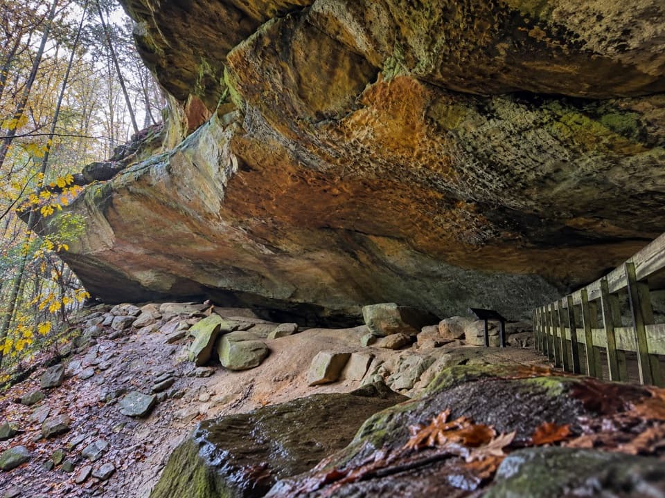
The seven landmark areas of Hocking Hills are cut into Black Hand Sandstone deposited more than 350 million years ago. Uplift and stream erosion carved the gorge, while layers of harder and softer rock weathered at different rates to leave its overhangs and grottos. Glaciers never reached the park, but glacial runoff helped northern plants such as eastern hemlock, Canada yew and birches take hold in the gorge.
Find the falls from aboveWater can shrink to a trickle after a dry spell; it is generally strongest after rain and in…
Water can shrink to a trickle after a dry spell; it is generally strongest after rain and in wetter seasons. The higher view from Gorge Overlook Trail looks across the waterfall. From near the pool, include the surrounding sandstone ledges in a photo so the water stays connected to the gorge rather than filling the whole frame.
Picnic before or afterParking, restrooms, picnic tables and grills are at the trailhead, with a day-use shelter that…
Parking, restrooms, picnic tables and grills are at the trailhead, with a day-use shelter that can be reserved and is first-come when unreserved. Longer marked routes continue toward Old Man’s Cave and Ash Cave. No food vendor or potable-water point was listed for the falls, so bring what you need for the walk.
Wildlife
Wildlife in Hocking Hills
 16 sightingsWhite-tailed DeerMost seen around 7 AMSighting map
 87 sightingsSnapping TurtleMost seen around 5 PMSighting map
 14 sightingsChipmunkMost seen around 8 AMSighting map
 19 sightingsGray RatsnakeMost seen around 6 PMSighting map
 47 sightingsWatersnakeMost seen around 10 AMSighting map
 11 sightingsRing-necked SnakeMost seen around 7 PMSighting map
Sighting maps show where each species has been reported across Hocking Hills. Wildlife moves, so no sighting is guaranteed.