Parking
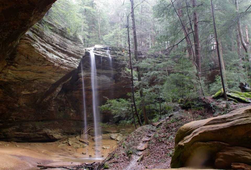
Start at Conkles Hollow State Nature Preserve parking, 24858 Big Pine Road, Rockbridge, Ohio. Follow the preserve signs and red blazes to the Rim Trail stairs; the separate Gorge Trail shares the preserve entrance.
#3 of 18 trails in Hocking Hills
Hocking Hills State Park, OH
A hard loop of steep steps, wooded cliff tops and gorge views.
Overview
Map & elevation
Plan your hike

The highest, rockiest slopes around here are a summer buffet for grizzly bears.
Hocking Hills Tour Guide
Parkwolf is a GPS audio tour guide for Hocking Hills State Park. As you drive, it chimes in with what’s ahead: hidden gems, upcoming stops, history, geology, and wildlife, right through your car’s speakers.
Recorded for this trailhead
Conkles Hollow“You're nearing Conkles Hollow, a shaded gorge beneath sandstone walls nearly two hundred feet high.”
Plays as you drive up to this trailhead in the Parkwolf Hocking Hills Tour Guide.
More stories near here in the app
“Fantastic app with many points of information… It’s great to just turn on while you’re driving and it gives you an audio tour of the national Park. We love it!!!!”


Trail guide
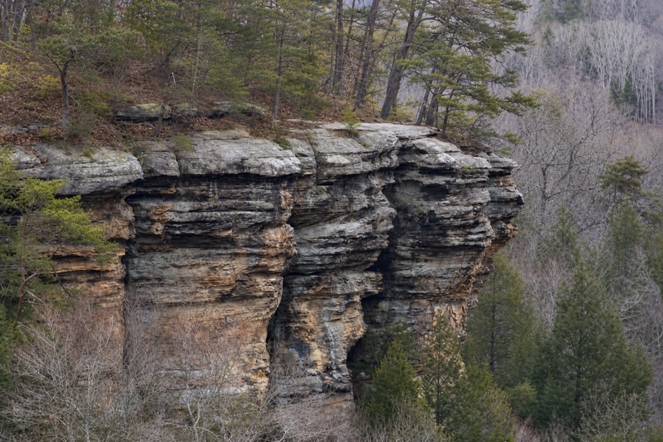
Conkles Hollow Rim Trail is a roughly 2-mile loop around the high edge of the preserve’s narrow gorge. Start at the preserve parking area, climb the wooden stairs to the rim, follow the cliff-top path past open overlooks, and descend by stairs back toward the lot. The rim route is one-way; follow its marked direction and budget several hours for the steep footing and stops. If you want a less strenuous visit, the separate Gorge Trail has a paved stretch toward the waterfall, but the rough final section is not wheelchair accessible.
This is a hard hike for people who are comfortable on uneven ground near open drops. The climb and descent use many steps; roots, wet stone and narrow breaks in the rock-and-soil tread need steady attention. In places the cliff falls 70 to 100 feet. Stay on the marked path, especially where the tread narrows, and don’t step toward the edge to get a better look. Pets are not allowed anywhere in the preserve.
Dozens of wooden steps lead up from the parking area. A small rest spot about halfway has an interpretive sign about the change from plants on the gorge floor to those on the rim. Views begin soon after the climb, so you don’t have to wait until the far side of the loop to see the gorge. A wooden observation deck looks down into it, and broad openings recur along the cliff edge. The views come between wooded stretches where roots and stones take more attention than the scenery. The last stair descent returns you to the preserve access.
The hollow is cut into Black Hand sandstone. Its cliffs rise nearly 200 feet above the valley, while the gorge pinches to about 100 feet wide in places. About 350 million years ago, rivers carried sand into a vast inland sea here and spread it in broad deltas. Later silt and clay buried the sand; pressure hardened the layers into sandstone. Uplift raised the land, and water and weather gradually wore it back to the narrow hollow and ledges you see from the rim. Some consider it Ohio’s deepest gorge.
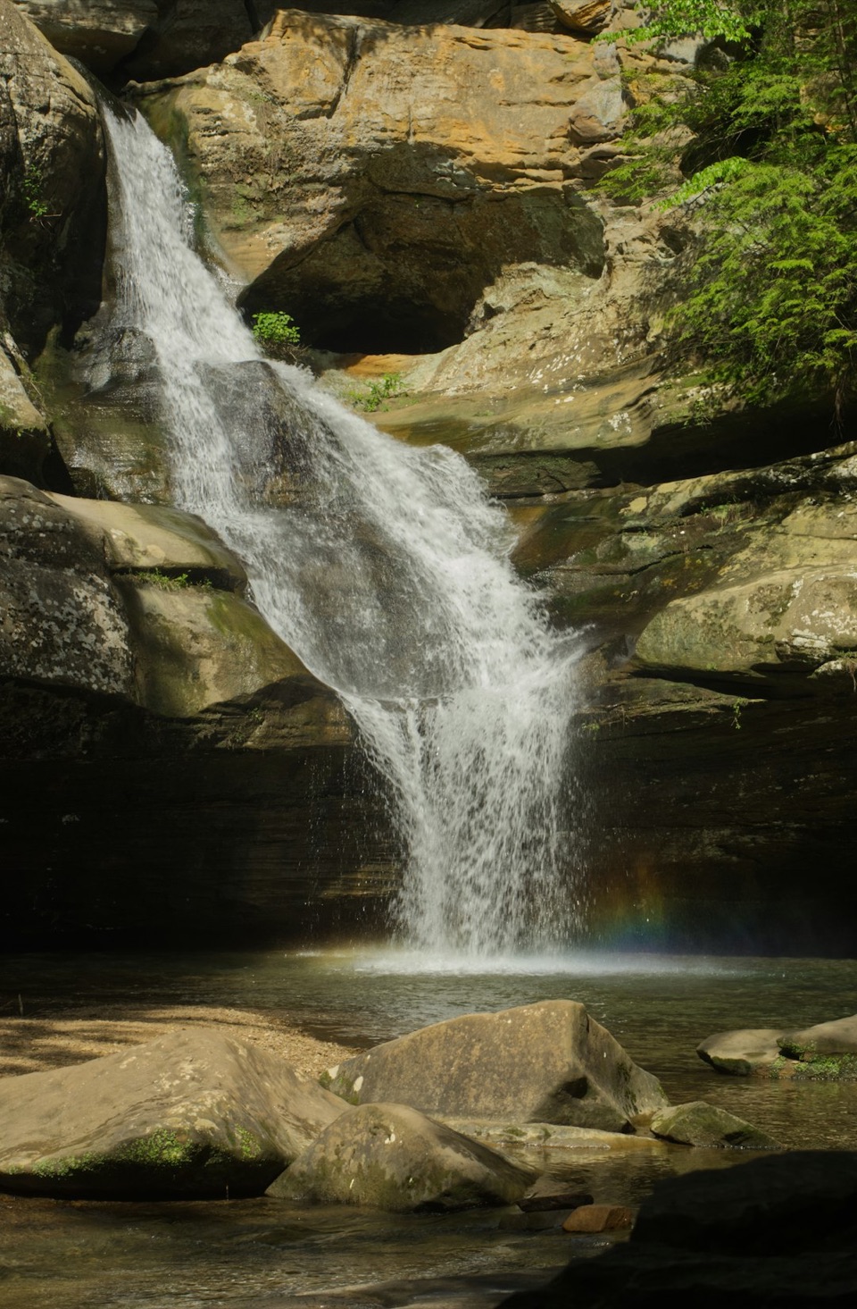
The top and the cool gorge below support different plant and animal communities. The sign on the climb points out that change, and the preserve lists spring wildflowers and fall color among its natural features. Specific species to look for from the rim weren’t established, so there’s no reason to expect a particular flower or animal on this route. The waterfall belongs to the separate Gorge Trail experience, not the rim loop.
Ohio bought Conkles Hollow in 1925 to preserve its scenery, then dedicated it as a state nature preserve in 1977. The rim’s views are part of a protected place with fragile rock and habitats, which is why the preserve asks hikers to remain on designated trails. Access runs from half an hour before sunrise to half an hour after sunset; plan to finish within those hours.
Wildlife
 15 sightingsWhite-tailed DeerMost seen around 7 AMSighting map
 83 sightingsSnapping TurtleMost seen around 5 PMSighting map
 13 sightingsChipmunkMost seen around 8 AMSighting map
 19 sightingsGray RatsnakeMost seen around 6 PMSighting map
 47 sightingsWatersnakeMost seen around 10 AMSighting map
 11 sightingsRing-necked SnakeMost seen around 7 PMSighting map
Sighting maps show where each species has been reported across Hocking Hills. Wildlife moves, so no sighting is guaranteed.
Keep exploring
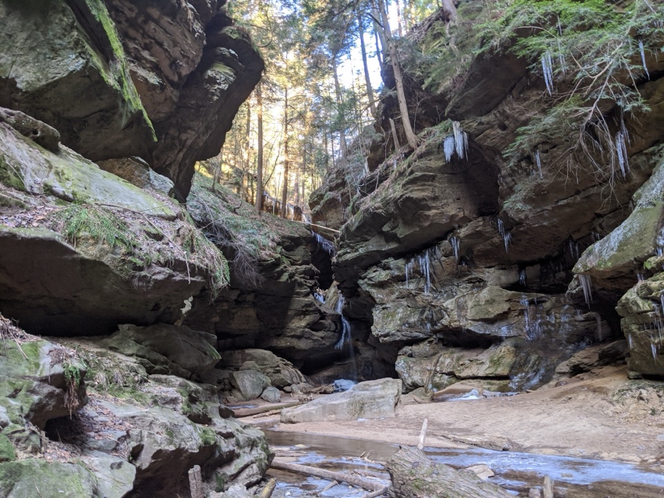 EasyConkles Hollow Gorge Trail1 mi · 1 hr · 0.1 mi awayA one-mile gorge out-and-back, with a paved start and rougher finish.
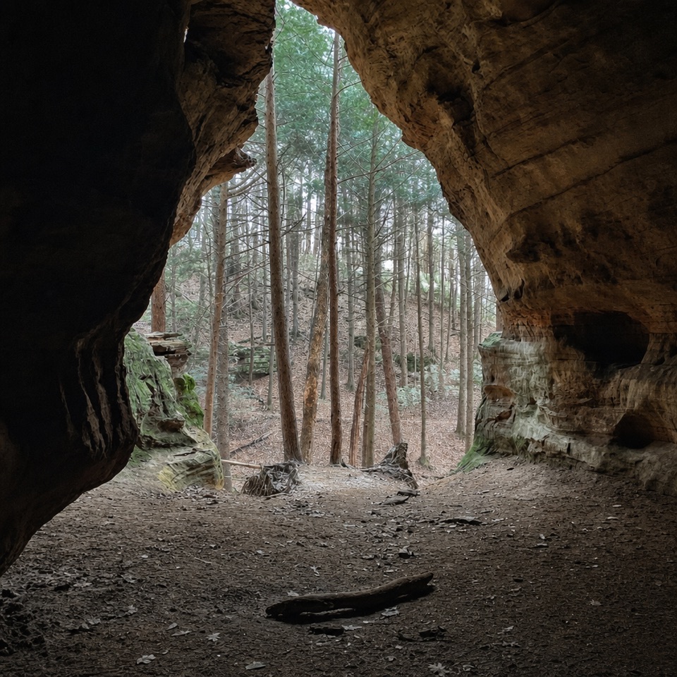 ModerateChapel Cave Trail1.8 mi · 1.3 hr · 0.8 mi awayA creekside bridle trail leads to a cave with a 21-horse legend.
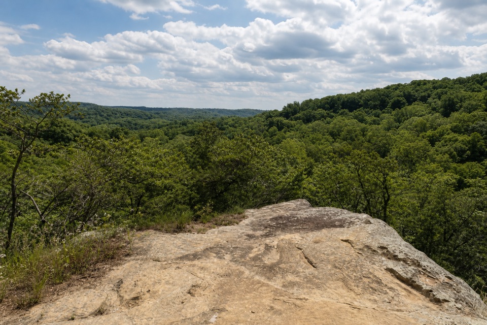 ModerateAirplane Rock Trail3.6 mi · 2 hr · 1.7 mi awayA rolling forest walk leads to a sandstone perch above the valley.
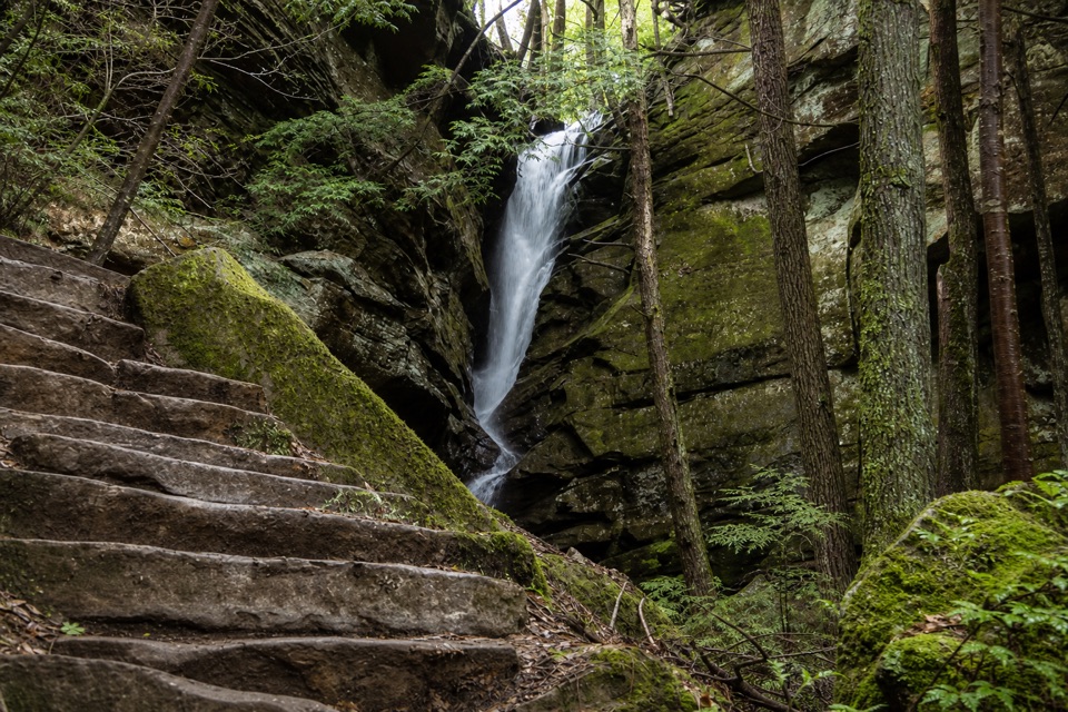 ModerateBroken Rock Trail0.3 mi · 20 min · 2 mi awayA short, steep stair climb to a sandstone cleft waterfall
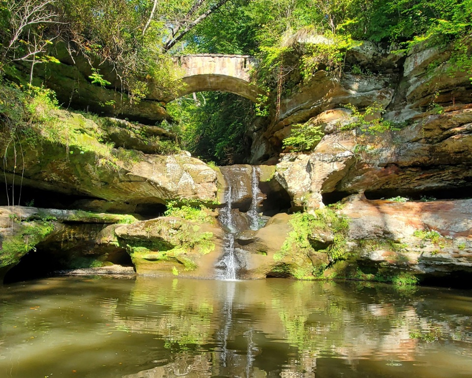 ModerateOld Man’s Cave Trail1 mi · 1 hr · 2 mi awayA one-mile gorge loop past a waterfall, cave and stone tunnels.
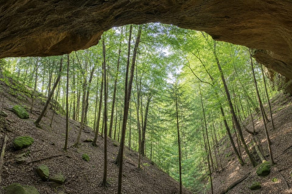 ChallengingWhispering Cave Trail3.3 mi · 3 hr · 2 mi awayA rugged one-way circuit to Whispering Cave via Hemlock Bridge.
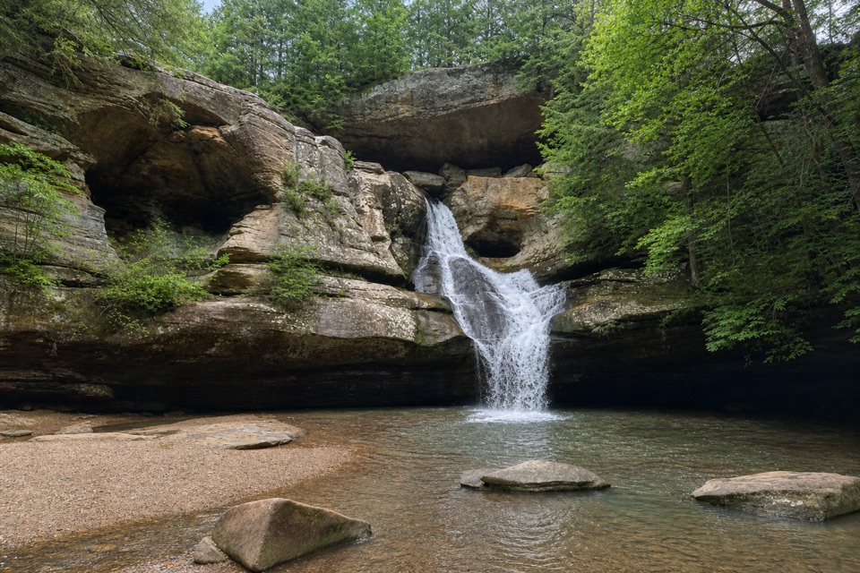 ModerateGorge Overlook Trail2.8 mi · 1.8 hr · 2.1 mi awayA point-to-point gorge walk from Old Man’s Cave to Cedar Falls.
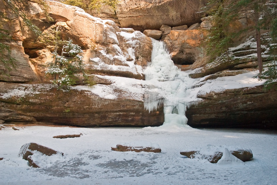 ChallengingGrandma Gatewood Trail5.3 mi · 3.5 hr · 2.1 mi awayA tough 5.3-mile crossing for waterfalls, caves and sandstone gorge.Sight · 0.1 mi awayConkles Hollow State Nature PreserveA shadowy gorge walk and an exposed cliff-top loop.
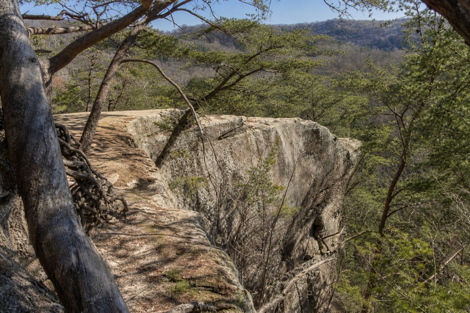 Sight · 0.6 mi awayAirplane RockA quieter airplane-shaped overlook after a hilly 3.6-mile hike.
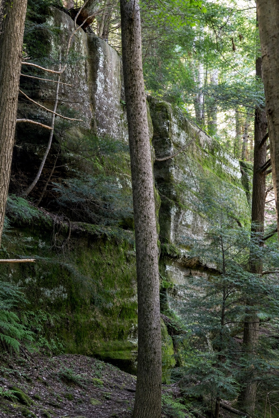 Sight · 0.8 mi awayHocking State Forest Rock Climbing and Rappelling AreaClimb or rappel a mile-long sandstone cliffline—register first.
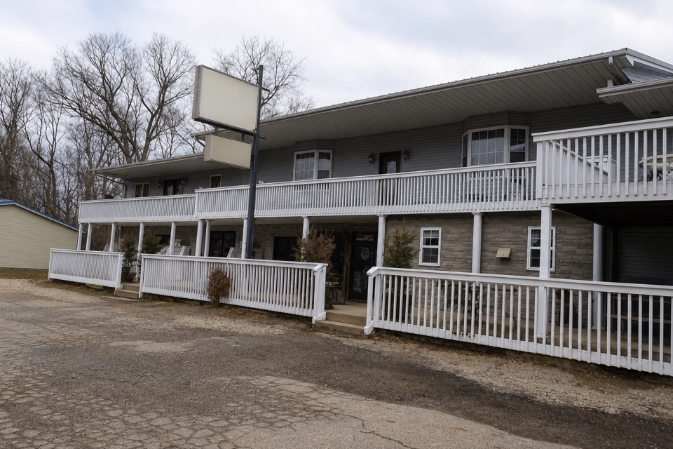 Store · 1.2 mi awayGrandma Faye's Grocery & CarryoutPick up trail supplies, a sub, or fudge after Old Man's Cave.
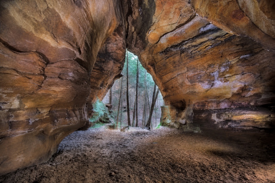 Sight · 1.3 mi awayChapel CaveA deep sandstone hall tucked off a shared forest bridle trail.
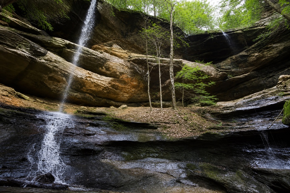 Sight · 1.4 mi awayTwin FallsTwo seasonal cascades tucked into a sandstone hollow.
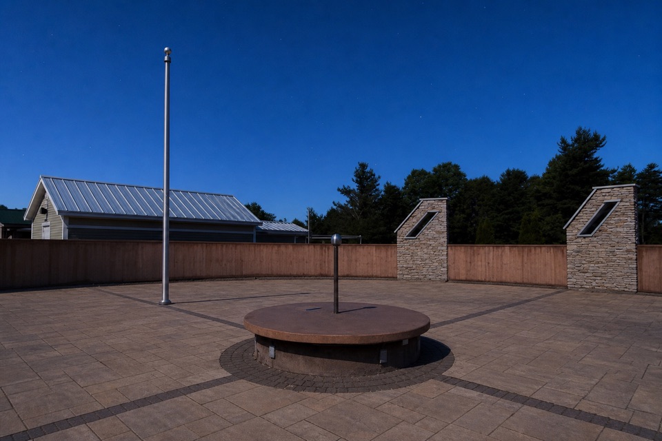 Sight · 1.8 mi awayJohn Glenn Astronomy ParkSave this stop for a clear, moonless night.
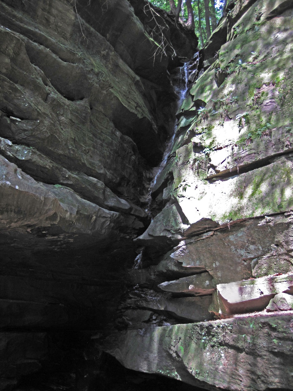 Sight · 2 mi awayBroken Rock FallsA stair-heavy spur leads to a tucked-away sandstone cascade.
Parkwolf’s Hocking Hills ranking

The audio tour guide for the drive, plus offline maps, trails, and wildlife heatmaps for when the signal drops.