Parking
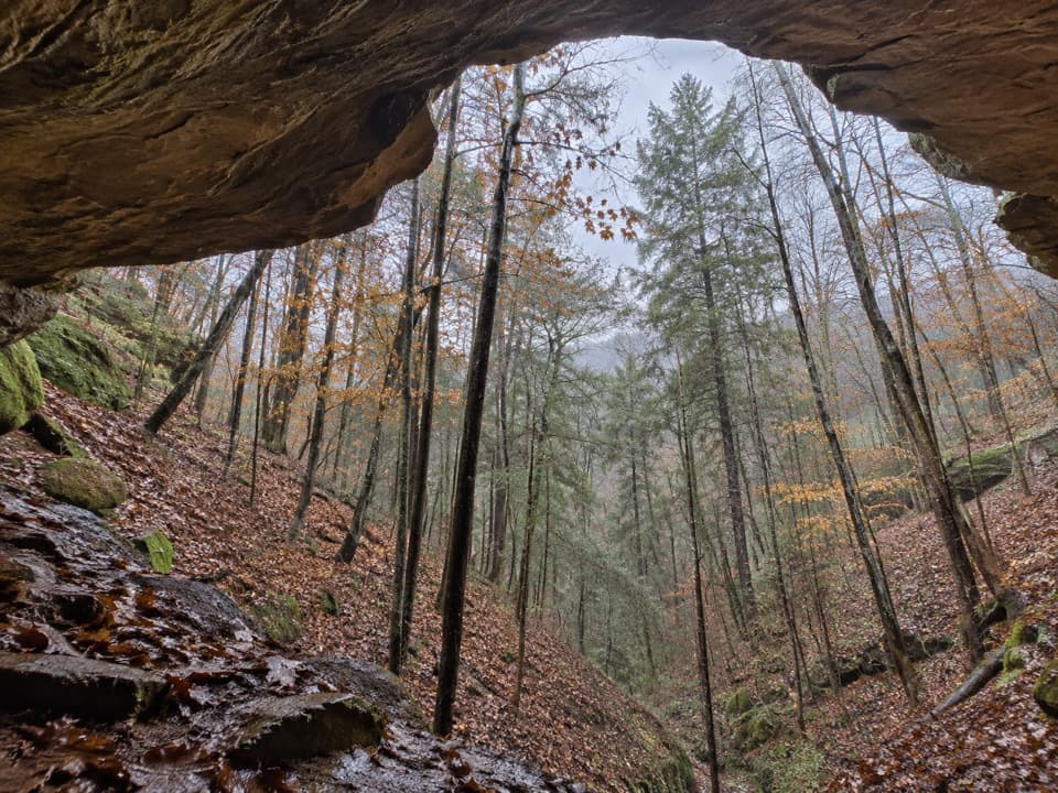
Ash Cave Parking Area off State Route 56; follow the marked trail route from the lot into the gorge. Restrooms and a picnic area with tables and grills are beside the lot.
#2 of 18 trails in Hocking Hills
Hocking Hills State Park, OH
An easy paved walk to a huge sandstone cave and seasonal falls.
Overview
Map & elevation
Plan your hike

The highest, rockiest slopes around here are a summer buffet for grizzly bears.
Hocking Hills Tour Guide
Parkwolf is a GPS audio tour guide for Hocking Hills State Park. As you drive, it chimes in with what’s ahead: hidden gems, upcoming stops, history, geology, and wildlife, right through your car’s speakers.
Recorded for this trailhead
Ash Cave“Ash Cave is coming up, a sandstone amphitheater nearly seven hundred feet wide.”
Plays as you drive up to this trailhead in the Parkwolf Hocking Hills Tour Guide.
More stories near here in the app
“Fantastic app with many points of information… It’s great to just turn on while you’re driving and it gives you an audio tour of the national Park. We love it!!!!”


Trail guide
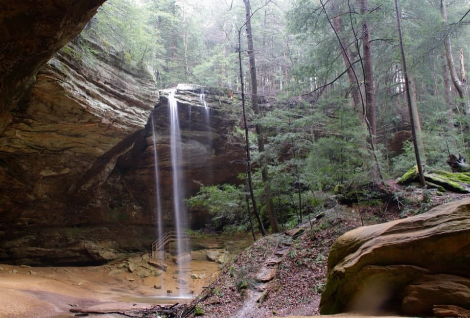
Ash Cave Gorge Trail is the easy, paved out-and-back from the State Route 56 parking area to Ash Cave, a broad sandstone shelter with a seasonal waterfall. The lower approach measures about 0.31 mile each way, so plan on roughly 0.6 mile round trip and 30 to 45 minutes with time to look around. The park's trail list calls the gorge a quarter mile but doesn't say whether that includes the return, so the mapped out-and-back is the safer planning figure. Choose this route if seeing the cave is your goal and you want to avoid the steps to the rim.
Follow the signs from the lot into a shaded, wooded gorge. The pavement carries you to the cave, where the rock opens into a wide, sandy floor beneath a horseshoe-shaped wall. It's a short, simple approach; once you've looked around, retrace the paved path. The longer Ash Cave Rim walk continues beyond the cave up steep steps and returns along the upper edge. That's a separate, rougher experience, not part of this accessible route.
The Ohio Department of Natural Resources lists the lower gorge as wheelchair accessible. One wheelchair user reported sandy patches that made a manual chair harder to propel; that report is from 2025, and the current surface has not been confirmed. If independent rolling is essential, check with the park before you go. Winter ice is a recurring hazard. Dogs may join on a leash no longer than six feet. Restrooms, picnic tables and grills are at the parking area; food and drinking water along the route were not found. Park trails are open from half an hour before sunrise until half an hour after sunset.
Ash Cave is a large recess cut into the gorge wall, not a deep underground passage. From its open floor, look up at the long sandstone roof and the small waterfall spilling over the rim. The falls are most dependable in winter, spring and after substantial rain; during a dry spell they may shrink to a trickle or stop. For a photo, include both the rock lip and the floor so the waterfall doesn't lose its scale.
The cave is cut into Black Hand Sandstone, rock deposited more than 350 million years ago. Water wore away a softer layer in the middle of the formation, leaving the broad overhang and recess you can walk beneath today. The creek and repeated erosion shaped the surrounding gorge as well as the cave.
Settlers named Ash Cave for the large ash piles they found inside. The area had Indigenous residents for hundreds of years before that, and excavations at the cave uncovered clothing, tools, food remains and animal bones, including passenger pigeons, now extinct. These finds give the brief walk a much longer human story than the trail itself suggests.
Wildlife
 16 sightingsWhite-tailed DeerMost seen around 7 AMSighting map
 87 sightingsSnapping TurtleMost seen around 5 PMSighting map
 14 sightingsChipmunkMost seen around 8 AMSighting map
 19 sightingsGray RatsnakeMost seen around 6 PMSighting map
 47 sightingsWatersnakeMost seen around 10 AMSighting map
 11 sightingsRing-necked SnakeMost seen around 7 PMSighting map
Sighting maps show where each species has been reported across Hocking Hills. Wildlife moves, so no sighting is guaranteed.
Keep exploring
 ModerateAsh Cave Rim Trail0.6 mi · 40 min · At the trailheadA short loop to Ash Cave's vast sandstone shelter.
 ModerateAsh Cave to Cedar Falls Trail6 mi · 4 hr · At the trailheadA cave-to-falls hike passes a 1934 fire tower.
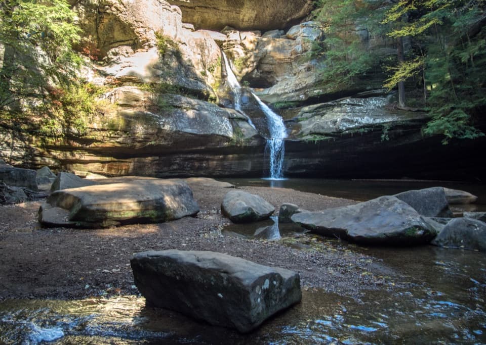
 ModerateCedar Falls Trail0.6 mi · 40 min · 1.9 mi awayA short waterfall loop with uneven, stepped gorge trails.
 ModerateWhispering Cave Trail from the Lodge0.6 mi · 45 min · 2 mi awayFrom the Lodge, steep steps lead to a broad sandstone recess.
 ModerateBroken Rock Trail0.3 mi · 20 min · 2.6 mi awayA short, steep stair climb to a sandstone cleft waterfall
 ModerateRose Lake Trail2.5 mi · 1.5 hr · 2.7 mi awayA rooty 2.5-mile walk to loop Hocking Hills’ 17-acre lake.
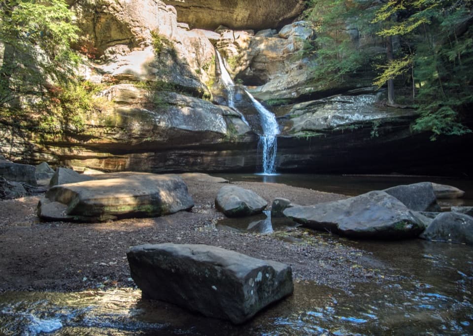 ModerateGorge Overlook Trail2.8 mi · 1.8 hr · 2.8 mi awayA point-to-point gorge walk from Old Man’s Cave to Cedar Falls.
 ChallengingGrandma Gatewood Trail5.3 mi · 3.5 hr · 2.8 mi awayA tough 5.3-mile crossing for waterfalls, caves and sandstone gorge.
 Sight · 0.3 mi awayAsh CaveA vast sandstone cave, seasonal waterfall, and easy gorge walk.
 Campground · 1.1 mi awayHocking Hills State Park Youth Group CampgroundA primitive tent base between Cedar Falls and Ash Cave.
 Sight · 1.1 mi awayAsh Cave Fire TowerA 1934 steel lookout with a weather-dependent climb and wooded views
 Sight · 1.8 mi awayWhispering FallsA narrow fall on Queer Creek, strongest after rain.
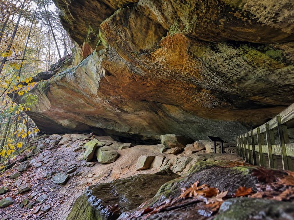 Sight · 1.9 mi awayWhispering CaveA vast sandstone roof shelters a 105-foot seasonal waterfall.
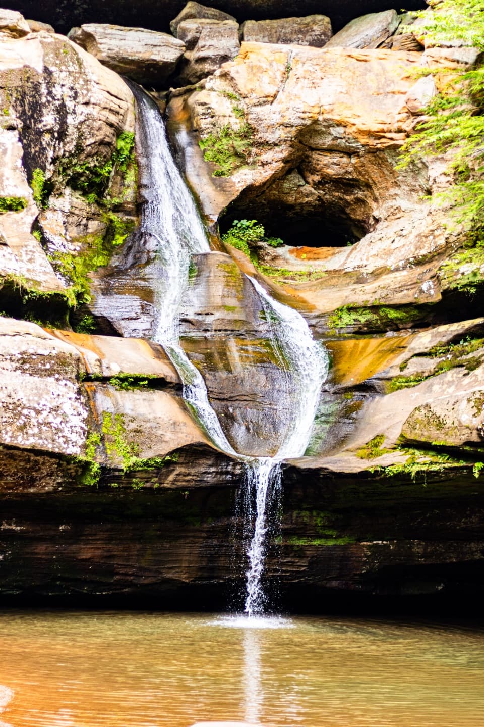 Sight · 2 mi awayCedar FallsA sandstone gorge walk where rain gives the waterfall its show.
 Restaurant · 2 mi awayRock House RestaurantA sit-down meal at the park lodge with a forest view.
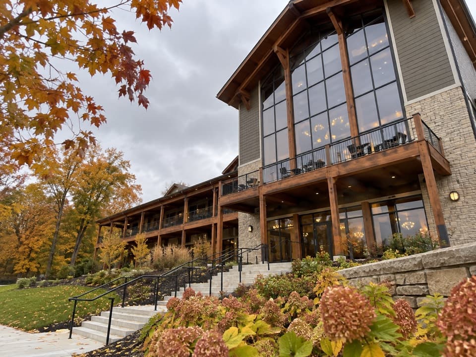 Lodging · 2 mi awayHocking Hills Lodge & Conference CenterAn 81-room stay with cabins, trail access and indoor-outdoor pools.
Parkwolf’s Hocking Hills ranking

The audio tour guide for the drive, plus offline maps, trails, and wildlife heatmaps for when the signal drops.