1 active Hot Springs alert
- InfoBurn ban in parkA burn ban is in effect because of high fire danger. - In the campground and picnic areas, only gas and charcoal grills are currently allowed; the ban was enacted August 15, 2026.Official details

Picnic area · Hot Springs National Park
Shady creekside tables make an easy lunch stop.
Overview
Map
Plan your stop

The highest, rockiest slopes around here are a summer buffet for grizzly bears.
Hot Springs Tour Guide
Parkwolf is a GPS audio tour guide for Hot Springs National Park. As you drive, it chimes in with what’s ahead: hidden gems, upcoming stops, history, geology, and wildlife, right through your car’s speakers.
Recorded for this place
Gulpha Gorge: A Creekside Picnic“Gulpha Gorge is coming up, with a public picnic area beside the creek. This is a good stop if you have lunch with you: shaded tables sit close to the water, with grills at designated picnic sites.”
Plays as you drive up to Gulpha Gorge Picnic Area in the Parkwolf Hot Springs Tour Guide.
More stories near here in the app
“Fantastic app with many points of information… It’s great to just turn on while you’re driving and it gives you an audio tour of the national Park. We love it!!!!”


Guide
Gulpha Gorge Picnic Area is the public day-use picnic ground beside Gulpha Creek, separate from the overnight campground. It's a good place for lunch or a quiet pause by the water, not one of Hot Springs' major sights. Visitors mention shaded tables close to the creek, which is the reason to stop.
The park identifies grills at designated picnic sites, so bring a meal and settle in. A day-use parking area sits beside the picnic grounds.
The picnic area is open to the public from sunrise to sunset and is reached via Gorge Road from U.S. 70B on Hot Springs' east side. The park describes restrooms and drinking water for campground users but doesn't say whether day visitors can use them; check before relying on either.
Wildlife
 71 sightingsWhite-tailed DeerMost seen around 6 PMSighting map
 11 sightingsGroundhogMost seen around 7 AMSighting map
 12 sightingsMexican Long-nosed ArmadilloMost seen around 8 PMSighting map
 16 sightingsTurkey VultureMost seen around noonSighting map
 41 sightingsCardinalMost seen around 7 AMSighting map
 27 sightingsSummer TanagerMost seen around 7 AMSighting map
Sighting maps show where each species has been reported across Hot Springs. Wildlife moves, so no sighting is guaranteed.
Keep exploring
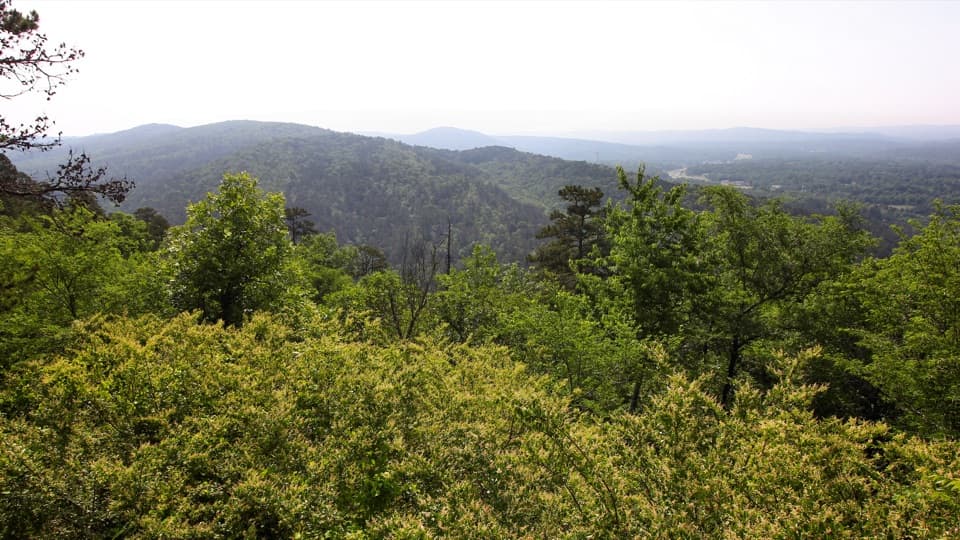 ModerateGoat Rock Trail2.2 mi · 1.8 hr · 0.3 mi awayA rocky overlook and broad Ouachita views above Gulpha Gorge.
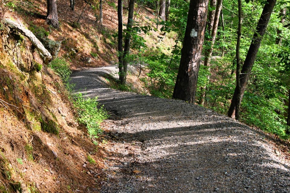 ModerateGulpha Gorge Trail0.7 mi · 45 min · 0.4 mi awayThe creek crossing sets up a steep climb to North Mountain.
 EasyUpper Dogwood Trail1 mi · 35 min · 0.5 mi awayOne mile of wooded trail, with short climbs and long flat stretches.
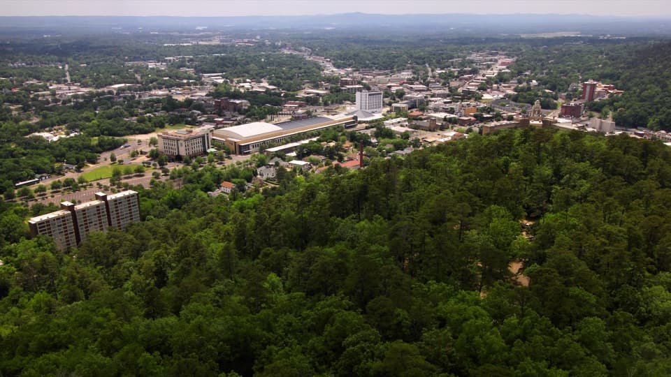 EasyHot Springs Mountain Trail1.7 mi · 1 hr · 0.8 mi awayAn easy loop above Hot Springs, with a view between the trees.
 ModerateFloral Trail0.4 mi · 30 min · 0.8 mi awayA quick valley dip linking two North Mountain trails.
 EasyGrand Promenade0.5 mi · 45 min · 0.9 mi awayBenches, spring views, and bathhouses on an easy half-mile walk.
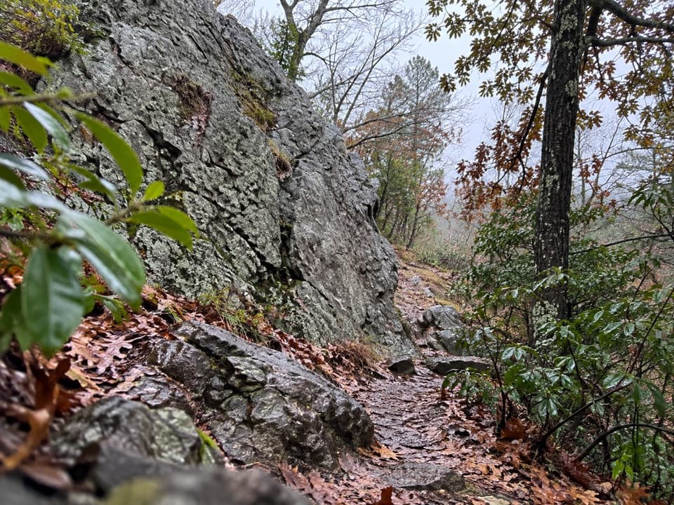 ModerateLower Dogwood Trail0.7 mi · 30 min · 1 mi awayBoulders mark a brief mountain climb before the loop drops downhill.
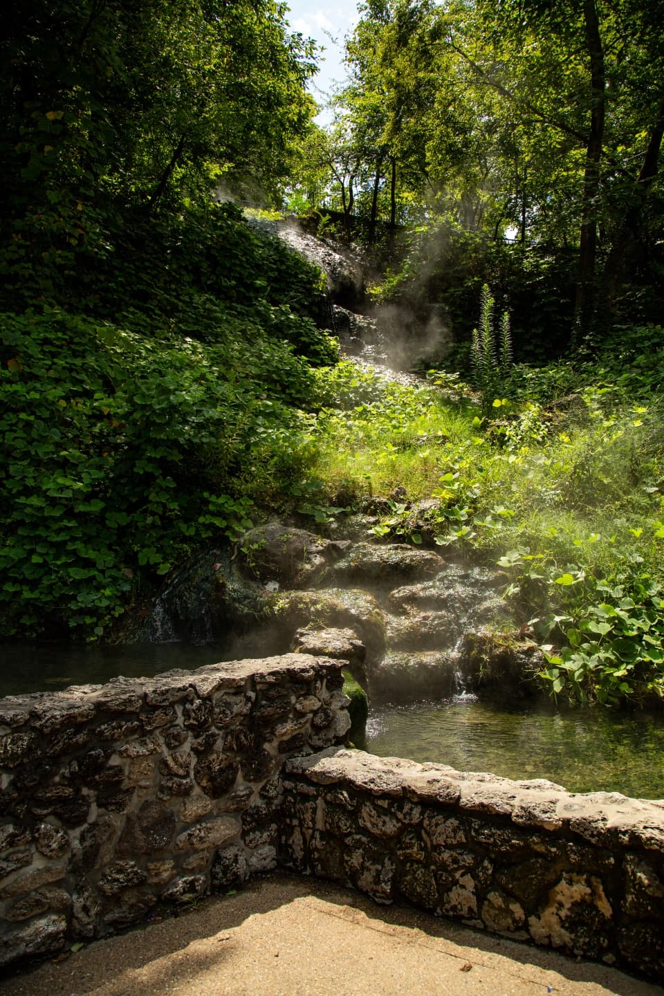
 EasyTufa Terrace Trail0.3 mi · 24 min · 1.1 mi awayA short paved climb to pale tufa beside the thermal cascade
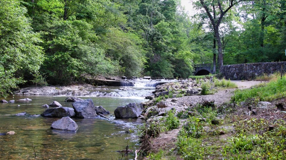 Campground · 0.2 mi awayGulpha Gorge CampgroundFull-hookup camping beside a creek, close to Bathhouse Row.
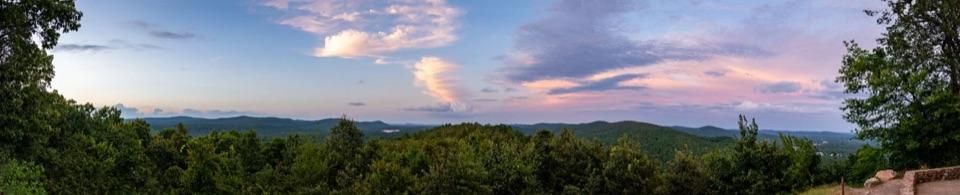 Sight · 0.4 mi awayGoat Rock ViewpointA short climb to a rock perch above the Zigzag Mountains.
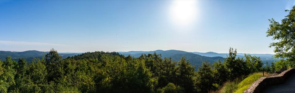 Scenic pullout · 0.5 mi awayNorth Mountain OverlookA quick ridge view at the top of the mountain loop.
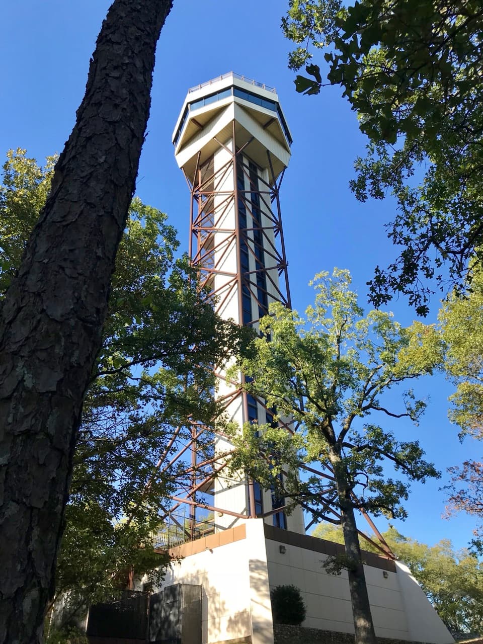 Sight · 0.7 mi awayHot Springs Mountain TowerA 216-foot elevator ride to wide views and park history.
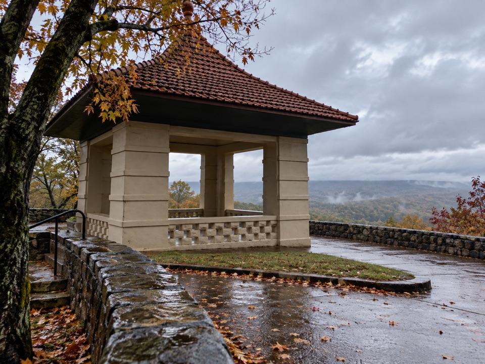 Sight · 0.7 mi awayHot Springs Mountain Pagoda and Picnic AreaA 1911 pagoda frames Hot Springs and the Ouachitas.
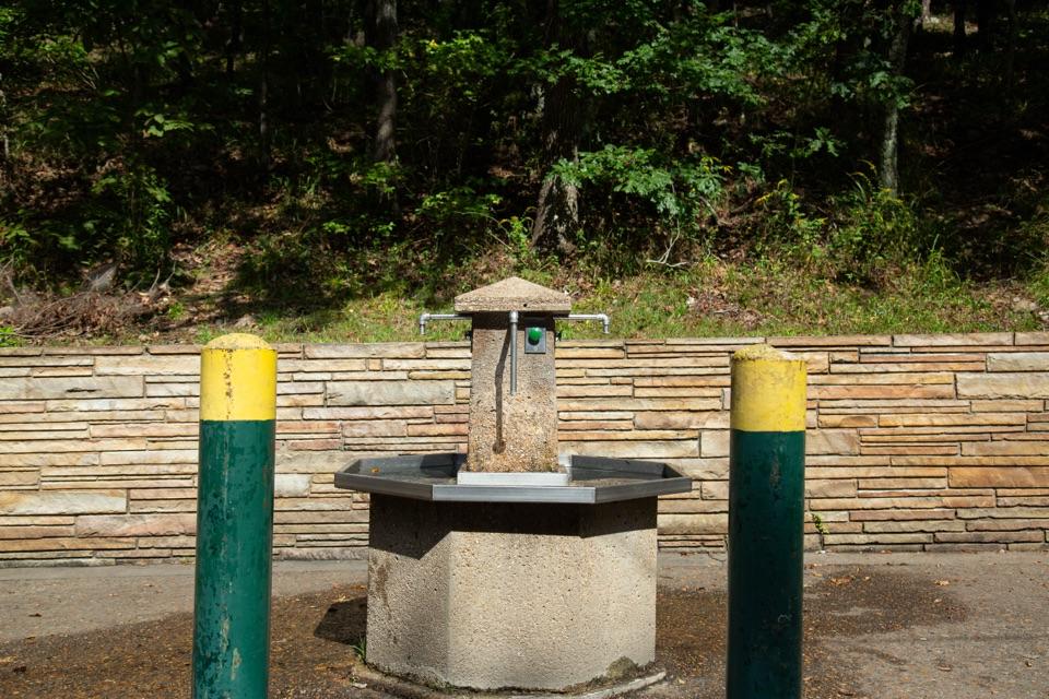 Sight · 0.8 mi awayHappy Hollow Jug Fountain (Cold)A free cold-spring refill stop, praised for its water.
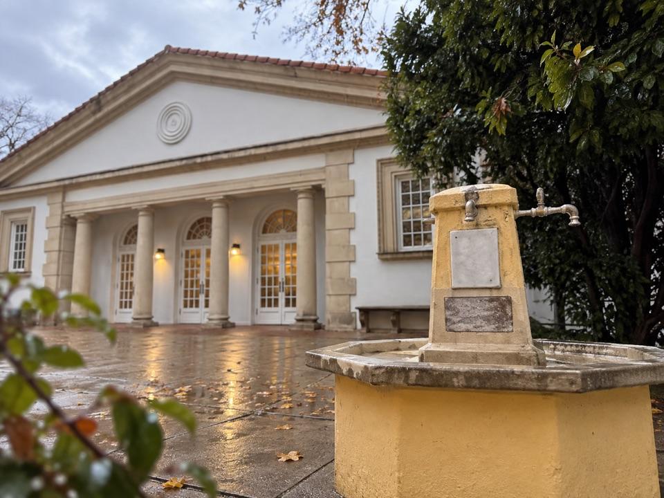 Sight · 1.1 mi awayLibbey Thermal Water Jug FountainFree hot spring water for your bottle or jug.
 Lodging · 1.1 mi awayThe Arlington Resort Hotel & SpaA 1924 landmark with twin towers and its own thermal bathhouse.
Parkwolf’s Hot Springs ranking

The audio tour guide for the drive, plus offline maps, trails, and wildlife heatmaps for when the signal drops.