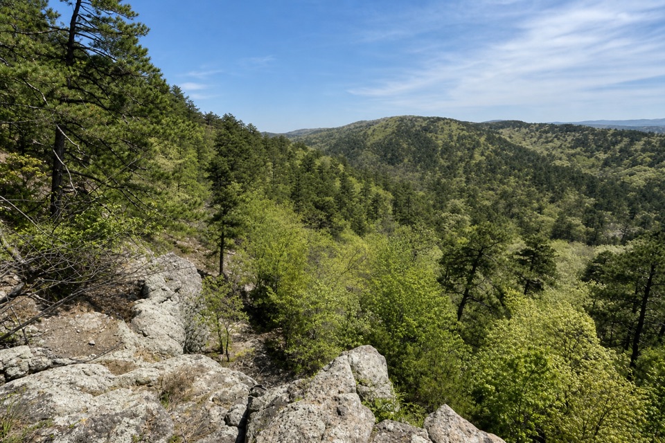
Parking
Reach the Lower Dogwood end from the Arlington Trail Y, or the Honeysuckle end just before its shelter. A separate parking area for Floral Trail was not verified; start from the access used for the adjoining trail you plan to connect.
Hot Springs National Park, AR
A quick valley dip linking two North Mountain trails.
Overview
Map & elevation
Plan your hike

The highest, rockiest slopes around here are a summer buffet for grizzly bears.
Hot Springs Tour Guide
Parkwolf is a GPS audio tour guide for Hot Springs National Park. As you drive, it chimes in with what’s ahead: hidden gems, upcoming stops, history, geology, and wildlife, right through your car’s speakers.
Recorded for this area
Arlington Lawn and Hot Water Cascade“Arlington Lawn is coming up, with Hot Water Cascade beside its pavilion. This is the park's largest visible spring, where thermal water spills down a rock face into two pools.”
Plays on the road 0.2 mi from the trailhead in the Parkwolf Hot Springs Tour Guide.
More stories near here in the app
“Fantastic app with many points of information… It’s great to just turn on while you’re driving and it gives you an audio tour of the national Park. We love it!!!!”


Trail guide
Floral Trail is a 0.35-mile point-to-point walk linking Lower Dogwood and Honeysuckle. It drops into a small valley and climbs the opposite side; allow 20 to 40 minutes for one crossing. It makes sense as a link between longer North Mountain walks, though on its own it is a short outing.
Expect packed, rocky gravel, a stone stairway on the Lower Dogwood side and switchbacks climbing toward Honeysuckle. The route gives you a close walk through a wooded valley rather than a summit view. It is not ADA compliant, so the stairs and rough tread rule out step-free access.
From Lower Dogwood, follow Floral to Honeysuckle; you can also reach the other end from Honeysuckle just before the shelter. It is not a loop, so plan an onward connection through the adjoining trails or retrace the same route. Leashed pets are allowed; keep them on a six-foot leash.
Wildlife
 71 sightingsWhite-tailed DeerMost seen around 6 PMSighting map
 11 sightingsGroundhogMost seen around 7 AMSighting map
 12 sightingsMexican Long-nosed ArmadilloMost seen around 8 PMSighting map
 16 sightingsTurkey VultureMost seen around noonSighting map
 40 sightingsCardinalMost seen around 7 AMSighting map
 27 sightingsSummer TanagerMost seen around 7 AMSighting map
Sighting maps show where each species has been reported across Hot Springs. Wildlife moves, so no sighting is guaranteed.
Keep exploring
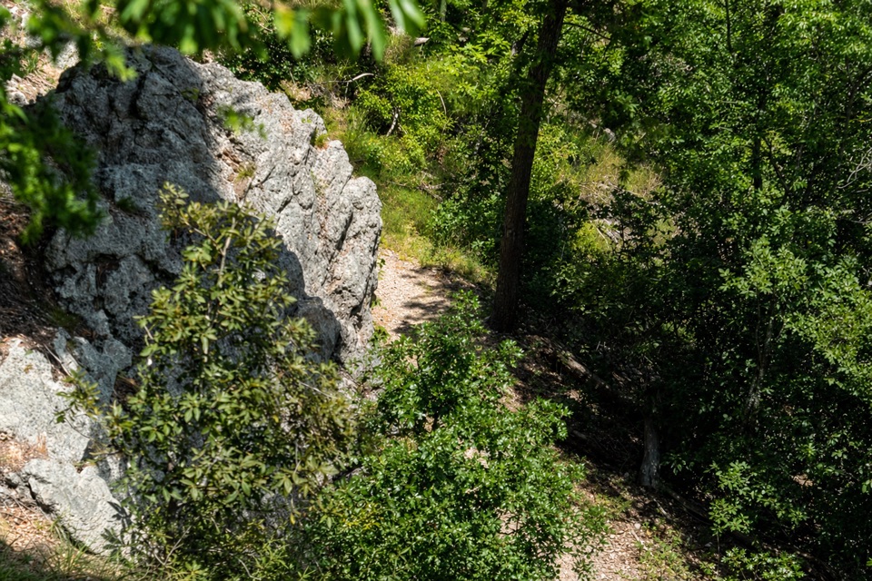 ModerateLower Dogwood Trail0.7 mi · 30 min · 0.2 mi awayBoulders mark a brief mountain climb before the loop drops downhill.
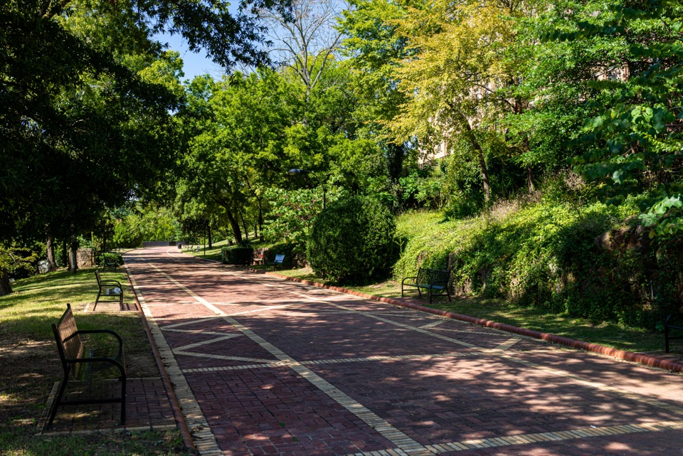 EasyGrand Promenade0.5 mi · 45 min · 0.2 mi awayBenches, spring views, and bathhouses on an easy half-mile walk.
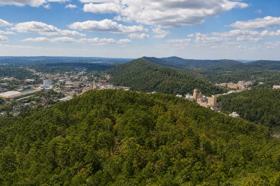 EasyHot Springs Mountain Trail1.7 mi · 1 hr · 0.3 mi awayAn easy loop above Hot Springs, with a view between the trees.
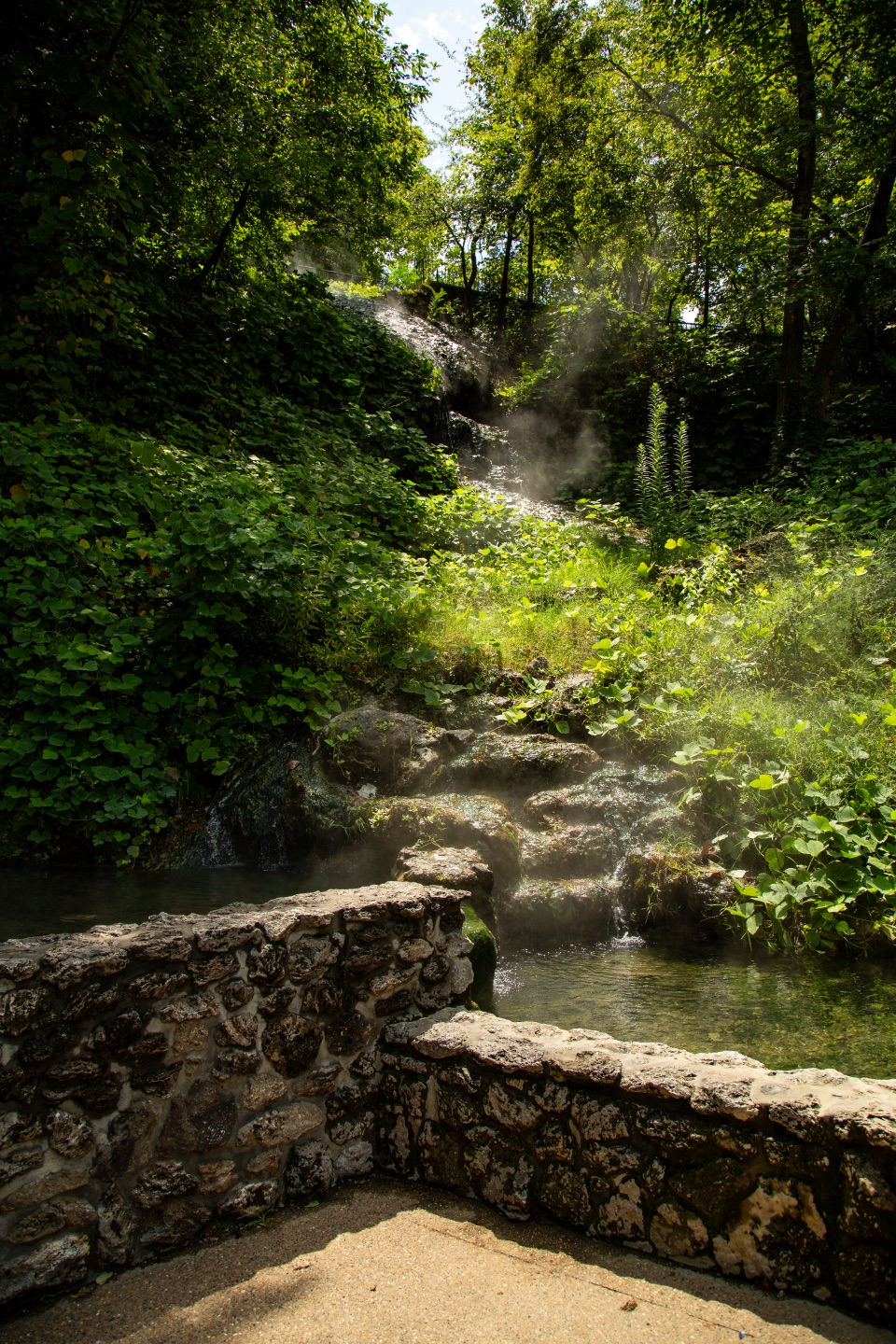 EasyTufa Terrace Trail0.3 mi · 24 min · 0.3 mi awayA short paved climb to pale tufa beside the thermal cascade
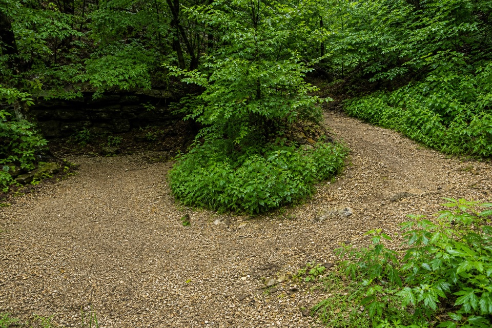 ModerateCanyon Trail0.7 mi · 36 min · 0.4 mi awayA short downtown climb that gets steep on the mountain side.
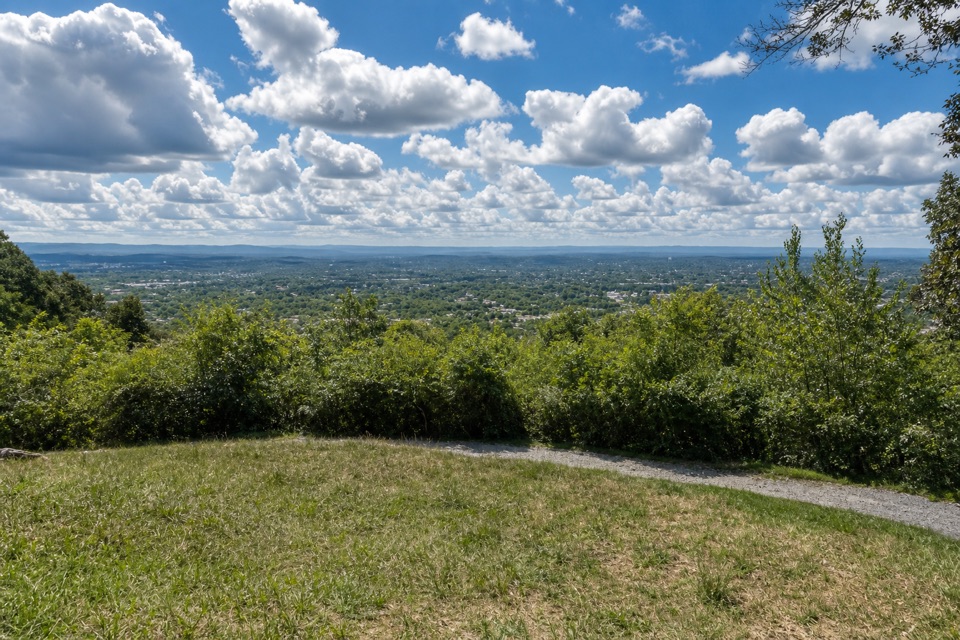 ModeratePeak Trail1.2 mi · 40 min · 0.4 mi awayA 400-foot climb rewards you with summit overlooks and a tower.
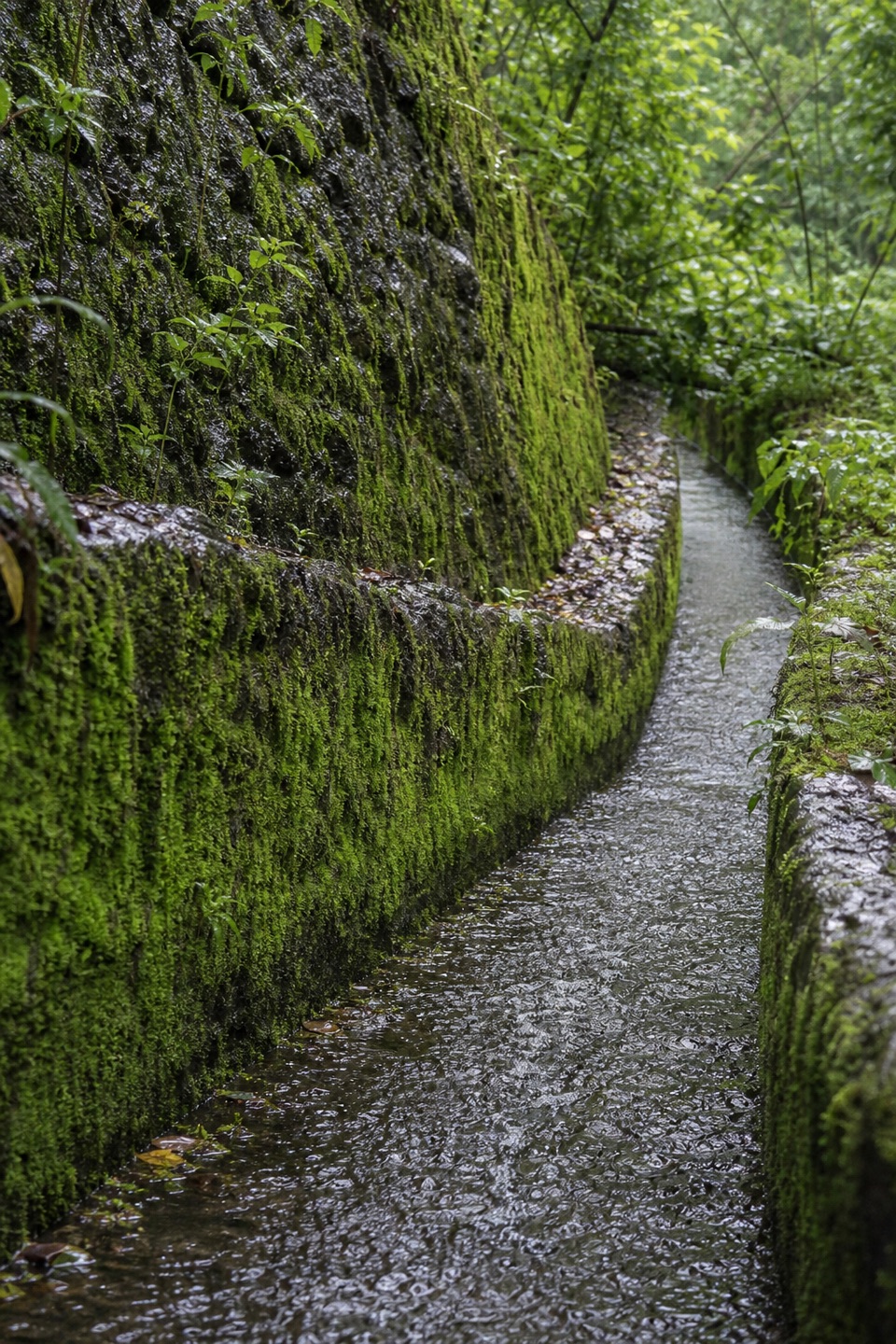 ModerateOak Trail1 mi · 35 min · 0.4 mi awayA short dirt climb from Bathhouse Row into West Mountain’s trails.
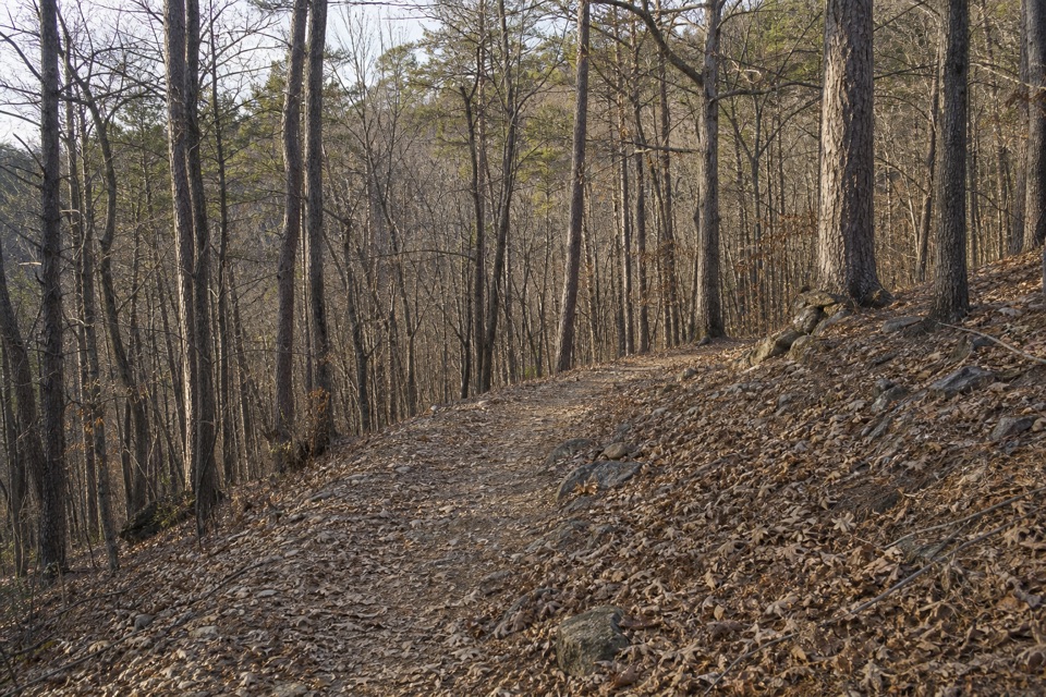 ModerateOertel Trail1.4 mi · 45 min · 0.5 mi awayA steep, bumpy gravel climb links downtown with mountain trails.
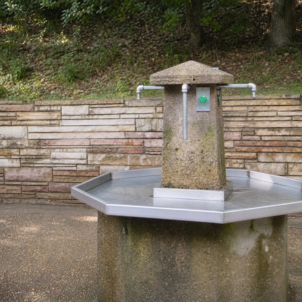 Sight · 0.1 mi awayHappy Hollow Jug Fountain (Cold)A free cold-spring refill stop, praised for its water.
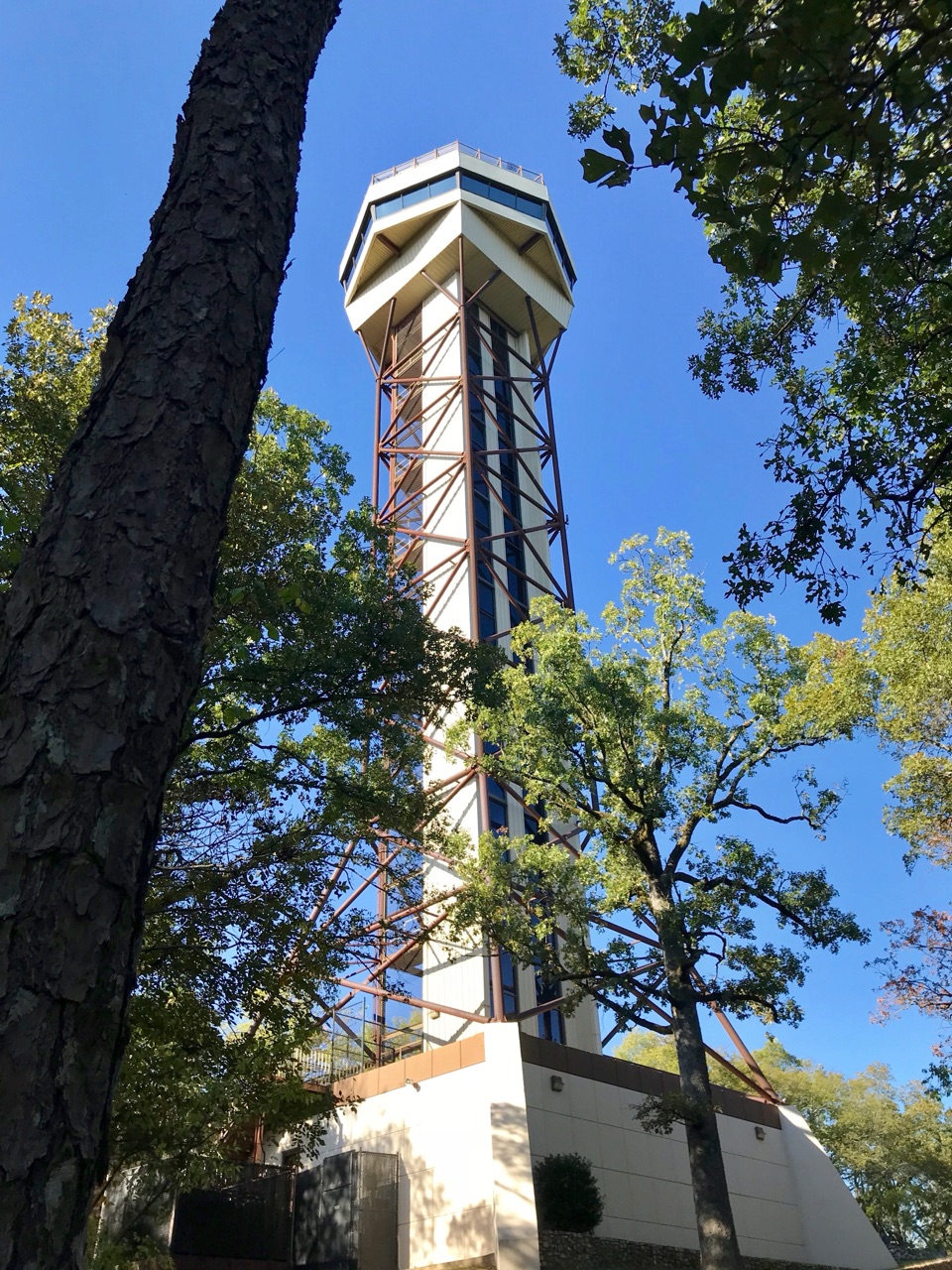 Sight · 0.2 mi awayHot Springs Mountain TowerA 216-foot elevator ride to wide views and park history.
 Lodging · 0.3 mi awayThe Arlington Resort Hotel & SpaA 1924 landmark with twin towers and its own thermal bathhouse.
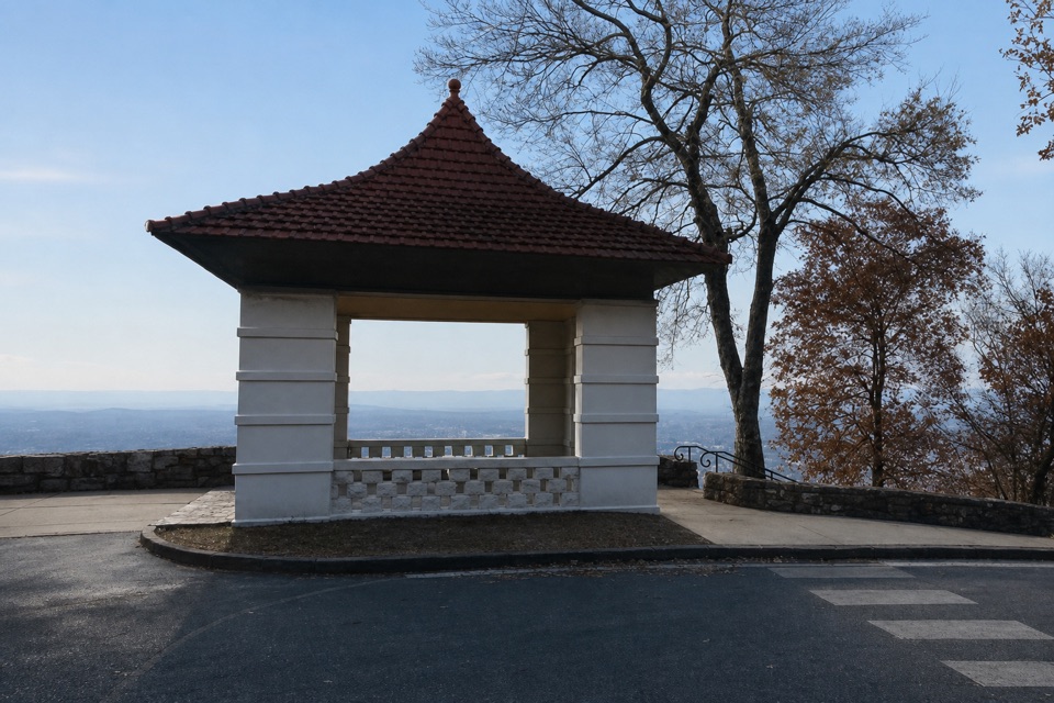 Sight · 0.3 mi awayHot Springs Mountain Pagoda and Picnic AreaA 1911 pagoda frames Hot Springs and the Ouachitas.
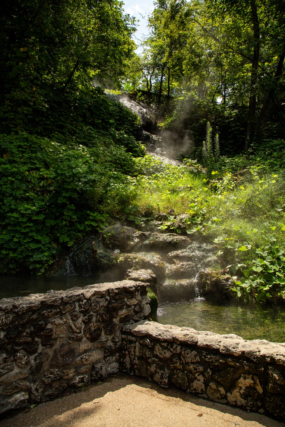 Sight · 0.3 mi awayHot Water CascadeThermal water tumbles through two pools along Bathhouse Row.
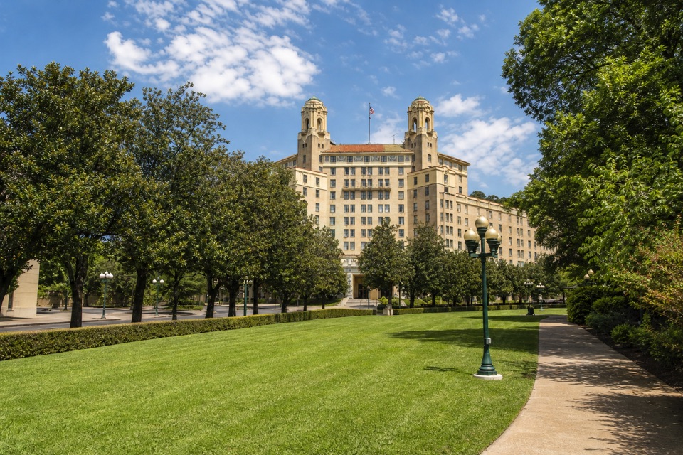 Sight · 0.3 mi awayArlington LawnA lawn where two earlier Arlington Hotels stood.
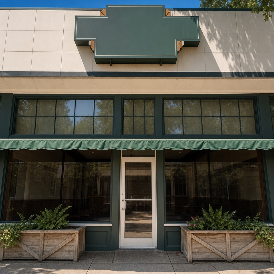 Restaurant · 0.3 mi awayThe Pancake ShopA 1940 breakfast institution a few steps from Bathhouse Row.
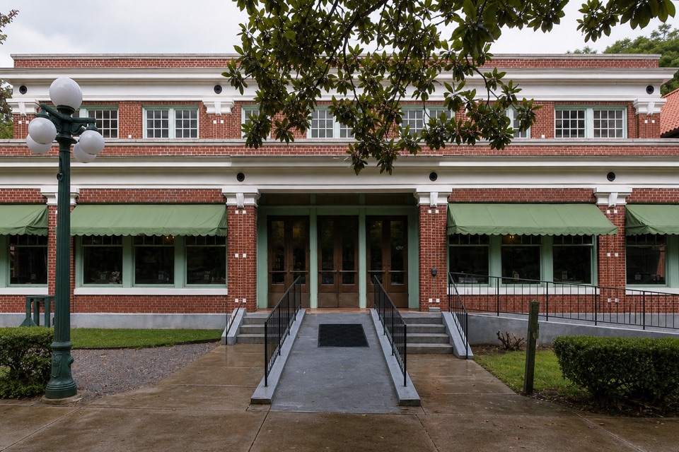 Restaurant · 0.4 mi awaySuperior Bathhouse BreweryThermal-water beer in a 1916 Bathhouse Row landmark.
Parkwolf’s Hot Springs ranking

The audio tour guide for the drive, plus offline maps, trails, and wildlife heatmaps for when the signal drops.