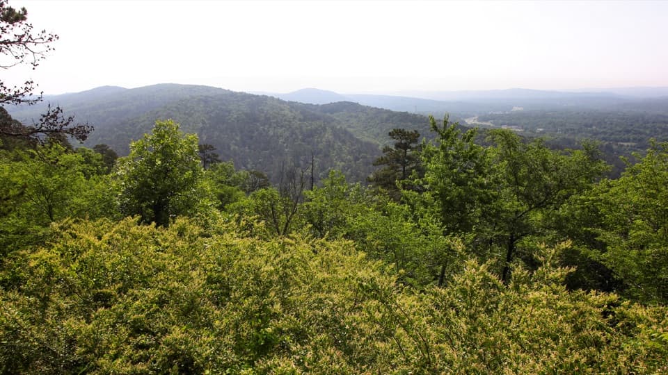
Grand Promenade in Hot Springs National Park

#1 of 19 trails in Hot Springs

Hot Springs National Park, AR

Grand Promenade

Benches, spring views, and bathhouses on an easy half-mile walk.

Photo: National Park Service
Length
0.5mi
Time
45min
Elev. change
55ft
Difficulty
Easy
  • Dogs allowed
  • High point 668 ft

Hear the audio tour

Arlington Lawn and Hot Water Cascade

Overview

About Grand Promenade

Why go

  • A paved, bench-lined walk with spring and downtown views.
  • An easy link between Bathhouse Row and several mountain trail connections.

Heads up

  • The Reserve Street end has stairs, so a step-free outing needs a ramp-to-ramp return.

Map & elevation

The route

Loading the Hot Springs map
Full map
Elevation613–668 ft
TrailheadFountain Street entrance34.51765, -93.05100
Keep this map with you offline in the Parkwolf app

Plan your hike

Before you go

Parking

Use downtown Hot Springs parking serving Bathhouse Row. The nearest garage to Fordyce Visitor Center is at 128 Exchange Street, about a quarter-mile away; the park map also shows off-street lots along the row. Use the Fountain Street ramp for the north starting point.

Safety

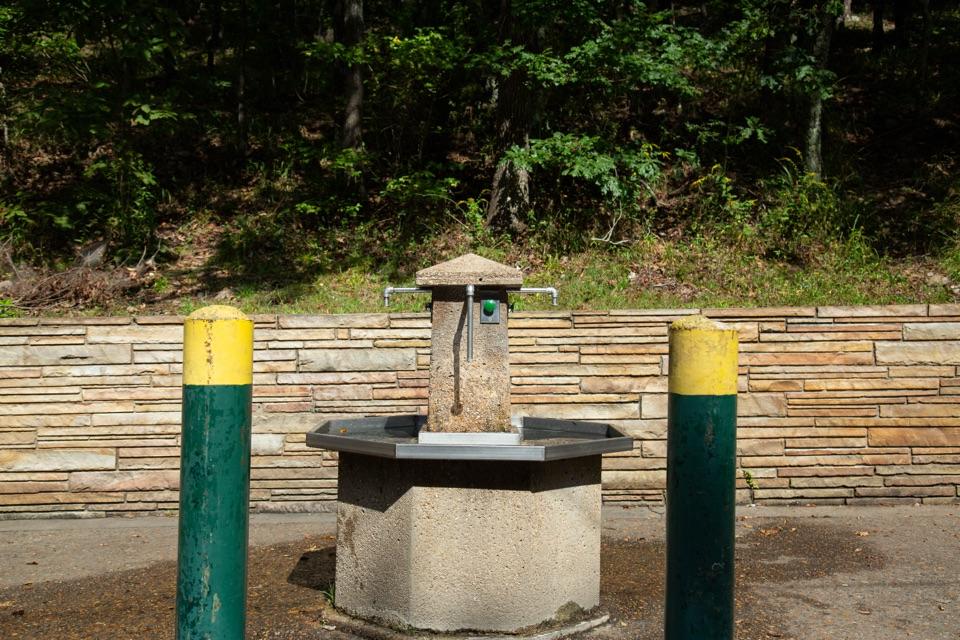
Reserve Street and Stephen’s Balustrade entrances use stairs; ramps are at Fountain Street and behind Fordyce. Drinking water is not readily available on the promenade.

1 active Hot Springs alert

  • InfoBurn ban in parkA burn ban is in effect because of high fire danger. - In the campground and picnic areas, only gas and charcoal grills are currently allowed; the ban was enacted August 15, 2026.Official details
Hot Springs alerts
A park ranger sits on a dash-mounted phone, talking, as Parkwolf’s Tour Guide plays “Army Cutworm Moths: A Grizzly Bear Buffet” on Grand Loop Road below Dunraven Pass in Yellowstone
Parkwolf Tour GuideThe highest, rockiest slopes around here are a summer buffet for grizzly bears.

Hot Springs Tour Guide

Your drive to Grand Promenade, narrated.

Parkwolf is a GPS audio tour guide for Hot Springs National Park. As you drive, it chimes in with what’s ahead: hidden gems, upcoming stops, history, geology, and wildlife, right through your car’s speakers.

Recorded for this trailhead

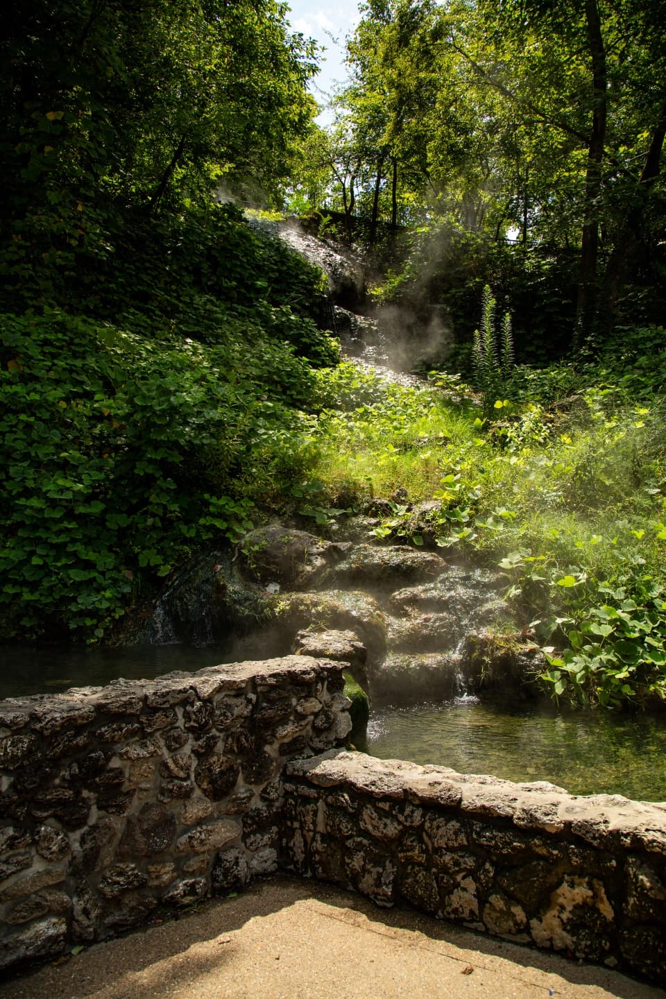
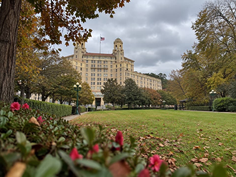
Arlington Lawn and Hot Water Cascade
0:00 / 0:31
“Arlington Lawn is coming up, with Hot Water Cascade beside its pavilion. This is the park's largest visible spring, where thermal water spills down a rock face into two pools.”

Plays as you drive up to this trailhead in the Parkwolf Hot Springs Tour Guide.

More stories near here in the app

  • Hot Springs Mountain: Pagoda and Tower
  • Superior Bathhouse Brewery: A Meal by the Springs
  • Fordyce Bathhouse: Beyond the Baths
  • West Mountain: Town Views and a Stone Shelter
  • 18 audio storiesacross Hot Springs’s roads, triggered by GPS as you drive
  • Wildlife heatmapsfor White-tailed Deer, Groundhog, Mexican Long-nosed Armadillo, and 13 more
  • Works offlinemaps, 19 trails, 33 places, and audio download before you lose signal
  • CarPlay readysimple controls built for the drive
★★★★★
“Fantastic app with many points of information… It’s great to just turn on while you’re driving and it gives you an audio tour of the national Park. We love it!!!!”
JMJamesApp Store review
Download Parkwolf on the App StoreGet Parkwolf on Google Play

4.7 from 8,600+ ratings

Trail guide

Hiking Grand Promenade

A half-mile above Bathhouse RowGrand Promenade is a half-mile, one-way paved walk behind Bathhouse Row, connecting Fountain…

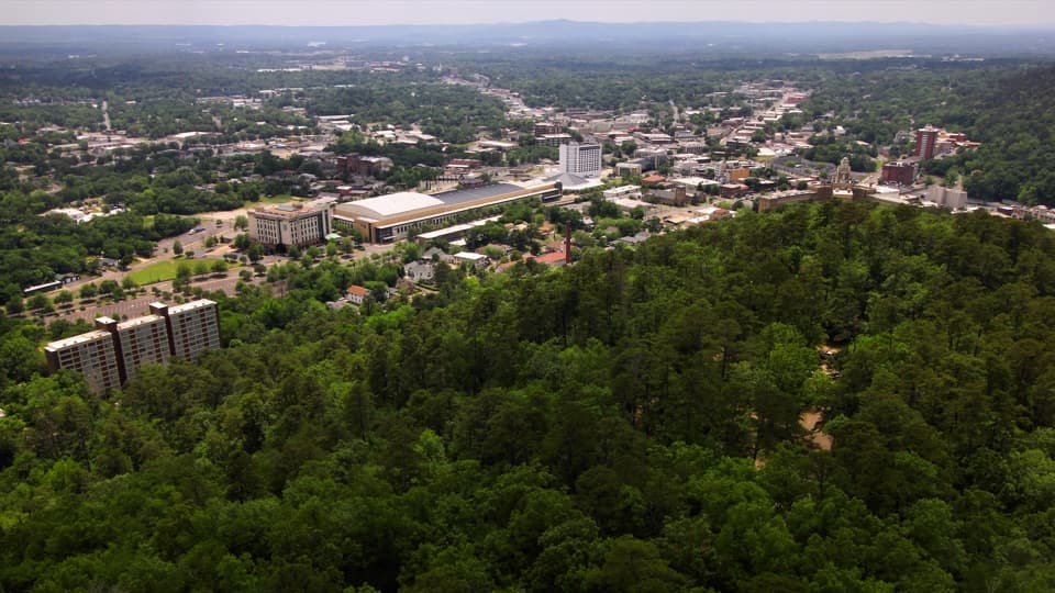
Grand Promenade is a half-mile, one-way paved walk behind Bathhouse Row, connecting Fountain Street with Reserve Street. Allow 30–60 minutes for an unhurried trip and its waysides; retracing the full corridor makes it a one-mile out-and-back. It is an easy way to see the historic bathing district and thermal-water features without taking on one of the park’s hill trails.

Start at a rampFor the full route, start at the Fountain Street ramp and walk south.

For the full route, start at the Fountain Street ramp and walk south. The Reserve Street exit uses stairs. A second ramp joins behind Fordyce Bathhouse, so visitors who need a step-free outing can enter there or at Fountain Street, follow the paved path, and turn back before the stair exits. A return on the Bathhouse Row sidewalks gives a different, street-level look at the bathhouses and adds distance; that loop isn’t in the half-mile figure. Downtown parking serves the walk; the nearest garage to Fordyce Visitor Center is at 128 Exchange Street, about a quarter-mile away. Restrooms are in Fordyce, and drinking water isn’t readily available along the promenade.

An easy, paved gradeThe brick corridor is about eight feet wide and has a typical grade of 3.7%.

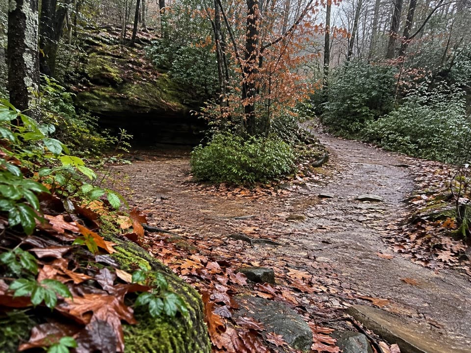
The brick corridor is about eight feet wide and has a typical grade of 3.7%. Benches and wayside panels make this a sit-and-look walk rather than a race from one end to the other. Its short stair approaches at Reserve Street and Stephen’s Balustrade are the main accessibility catch; the promenade also connects with the Oertel, Peak and Tufa Terrace trails, which add mileage and climbing if you follow them. Leashed dogs are allowed.

Springs, stone and downtown viewsLook toward historic downtown, Arlington Lawn and the hot springs cascade.

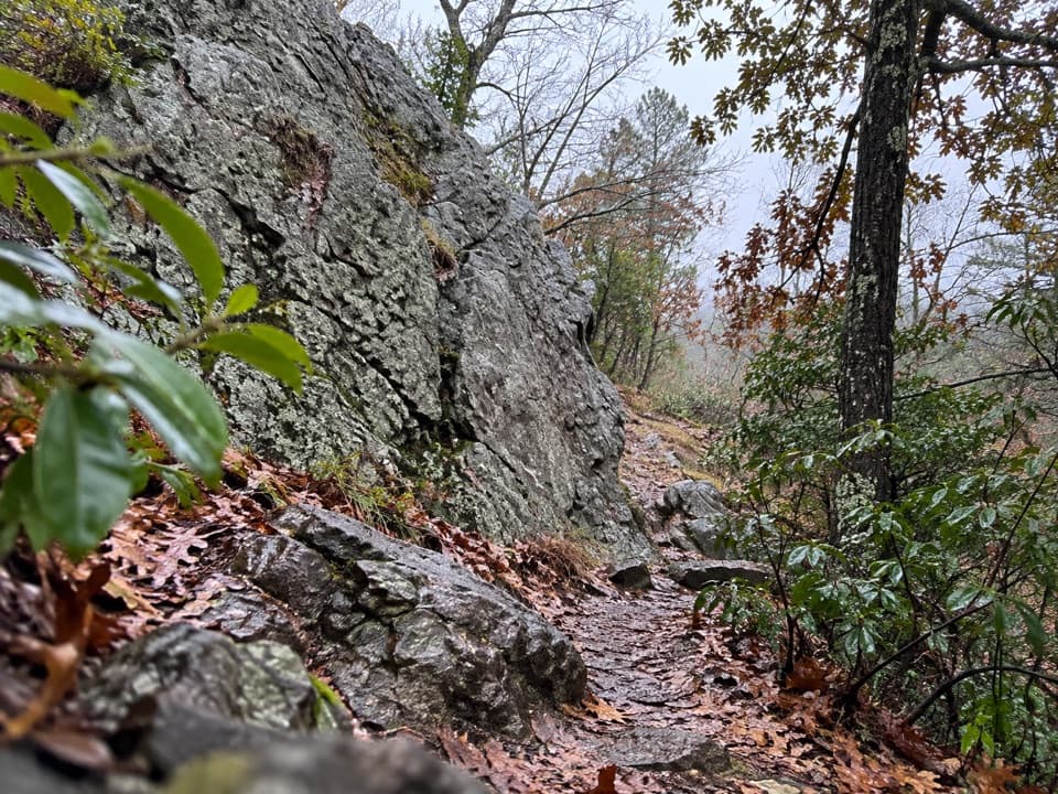
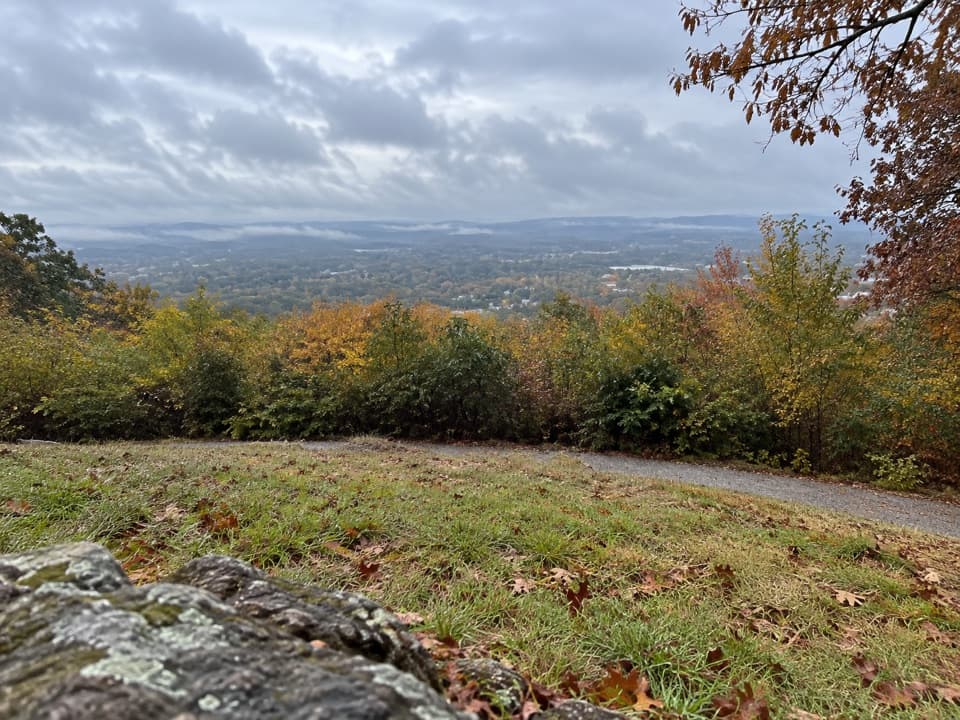
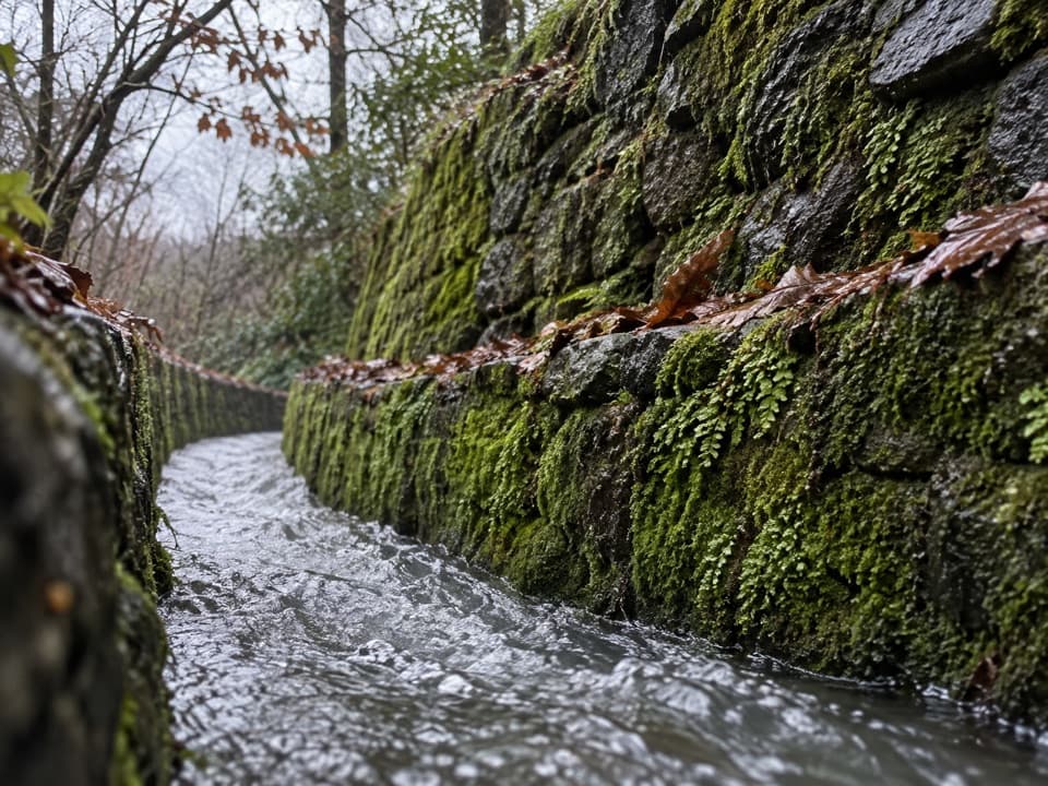
Look toward historic downtown, Arlington Lawn and the hot springs cascade. Near the lower end, the spring features give the walk its clearest reminder that this is a thermal landscape. The cliffs expose quartz veins in sandstone and tufa. Where the path opens toward Bathhouse Row, include some patterned paving in the foreground to show the route as well as the buildings.

A public promenadeThe walkway’s design drew inspiration from Havana’s Prado, a pedestrian boulevard.

The walkway’s design drew inspiration from Havana’s Prado, a pedestrian boulevard. It was designated a National Recreation Trail in 1982. Waysides, benches, and nearby picnic and chess tables give you reasons to linger; bring chess pieces if you want to use the board. This is a calm city-edge stroll with views and pieces of park history, not a remote nature hike.

Wildlife

Wildlife in Hot Springs

All Hot Springs wildlife maps

Sighting maps show where each species has been reported across Hot Springs. Wildlife moves, so no sighting is guaranteed.

Keep exploring

Near Grand Promenade

See it all on the map

Trails that start nearby

Places near the trailhead

Parkwolf’s Hot Springs ranking

Top-rated trails in Hot Springs

All 19 trails
  1. 2Goat Rock TrailModerate · 2.2 mi
  2. 3Hot Springs Mountain TrailEasy · 1.7 mi
  3. 4Tufa Terrace TrailEasy · 0.3 mi
  4. 5Balanced Rock TrailModerate · 2 mi
  5. 6Peak TrailModerate · 1.2 mi
  6. 7Sunset TrailChallenging · 9.2 mi

Take Parkwolf to Hot Springs.

The audio tour guide for the drive, plus offline maps, trails, and wildlife heatmaps for when the signal drops.

4.7 from 8,600+ ratings

Download Parkwolf on the App StoreGet Parkwolf on Google Play