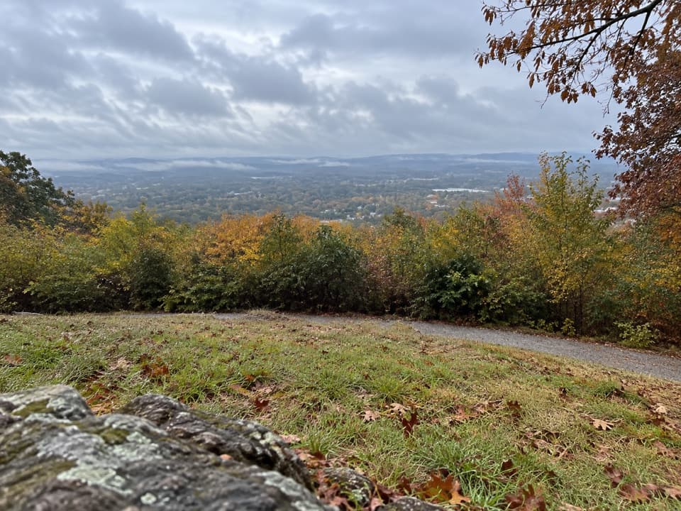
Parking
Limited parking at North Mountain Overlook. The Goat Rock trailhead starts just south of the lot and can be easy to miss.
#2 of 19 trails in Hot Springs
Hot Springs National Park, AR
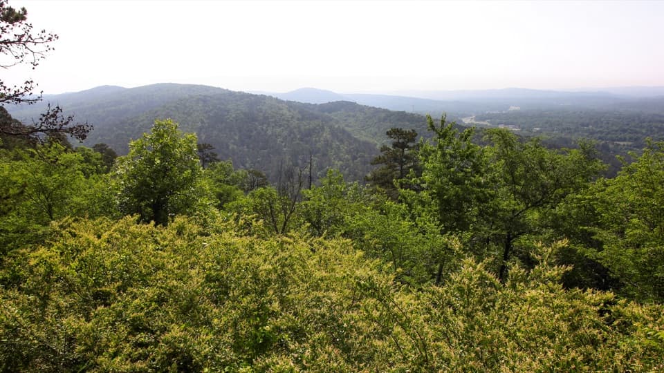
A rocky overlook and broad Ouachita views above Gulpha Gorge.
Overview
Map & elevation
Plan your hike

The highest, rockiest slopes around here are a summer buffet for grizzly bears.
Hot Springs Tour Guide
Parkwolf is a GPS audio tour guide for Hot Springs National Park. As you drive, it chimes in with what’s ahead: hidden gems, upcoming stops, history, geology, and wildlife, right through your car’s speakers.
Recorded for this trailhead
North Mountain Overlook and Goat Rock“You're nearing North Mountain Overlook, where you can stop for ridge views or start the Goat Rock hike.”
Plays as you drive up to this trailhead in the Parkwolf Hot Springs Tour Guide.
More stories near here in the app
“Fantastic app with many points of information… It’s great to just turn on while you’re driving and it gives you an audio tour of the national Park. We love it!!!!”


Trail guide
Goat Rock Trail is a 2.2-mile out-and-back, using the park’s 1.1-mile one-way distance to reach the overlook and returning the same way. It starts just south of North Mountain Overlook parking and finishes at the exposed Goat Rock outcrop above Gulpha Gorge. You get a brief flat opening, a rougher wooded approach, then a rocky viewpoint rather than a long ridge walk. Allow about 1–2.5 hours for the return and time at the rock. I’d choose it for a short hike with a real change in footing and a clear destination; skip it if you need a smooth or step-free walk.
Parking at North Mountain Overlook is limited. The trailhead starts just south of the lot and can be easy to miss, so look for the established path instead of assuming the overlook itself is the start. The named trail connects with the wider network, but routes that continue onto Gulpha Gorge or Upper Dogwood add other trail miles; they are separate combinations, not part of this out-and-back. Leashed pets are allowed.
The opening is relatively flat and gives a broad view east over Hot Springs. The path then drops lower and gets rockier, with packed gravel, packed dirt and uneven stone underfoot. Novaculite boulders grow larger as you approach the viewpoint. Near the end, about 40 stone steps climb onto the overlook. That short stair climb is the hardest-feeling part; the national park describes the trail as not ADA compliant.
Goat Rock is a pale novaculite outcrop above Gulpha Gorge. From the overlook, look across the gap toward Indian Mountain; the view also opens over Hot Springs and the Ouachita ridges. The wooded setting means this is a focused viewpoint, not a bare summit with a panorama in every direction. For a phone photo, leave a strip of the fractured rock in the foreground and include Indian Mountain across the gorge so the picture shows where you are.
Novaculite is unusually dense, hard rock made of tiny quartz crystals. The layers formed in an ancient sea, then the collision that raised the Ouachita Mountains folded and pushed them upward; today the stone breaks through on ridges like this one. It was valued as a whetstone for sharpening tools, which gives the pale, sharp-edged boulders a practical history as well as a striking look. The wider park also protects prehistoric quarries where Native Americans mined novaculite for stone tools, though no quarry is identified on this trail itself.
The hills around Hot Springs are part of the recharge area for the thermal springs. Rain enters cracks and faults in the folded rock, travels deep underground and slowly heats before returning at Bathhouse Row. The walk’s broad east-facing view is a chance to connect the forested ridges with the springs below, not just a backdrop behind the overlook.
Wildlife
 71 sightingsWhite-tailed DeerMost seen around 6 PMSighting map
 11 sightingsGroundhogMost seen around 7 AMSighting map
 12 sightingsMexican Long-nosed ArmadilloMost seen around 8 PMSighting map
 16 sightingsTurkey VultureMost seen around noonSighting map
 41 sightingsCardinalMost seen around 7 AMSighting map
 27 sightingsSummer TanagerMost seen around 7 AMSighting map
Sighting maps show where each species has been reported across Hot Springs. Wildlife moves, so no sighting is guaranteed.
Keep exploring
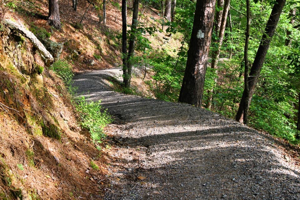 ModerateGulpha Gorge Trail0.7 mi · 45 min · 0.1 mi awayThe creek crossing sets up a steep climb to North Mountain.
 EasyUpper Dogwood Trail1 mi · 35 min · 0.2 mi awayOne mile of wooded trail, with short climbs and long flat stretches.
 ModerateFloral Trail0.4 mi · 30 min · 0.7 mi awayA quick valley dip linking two North Mountain trails.
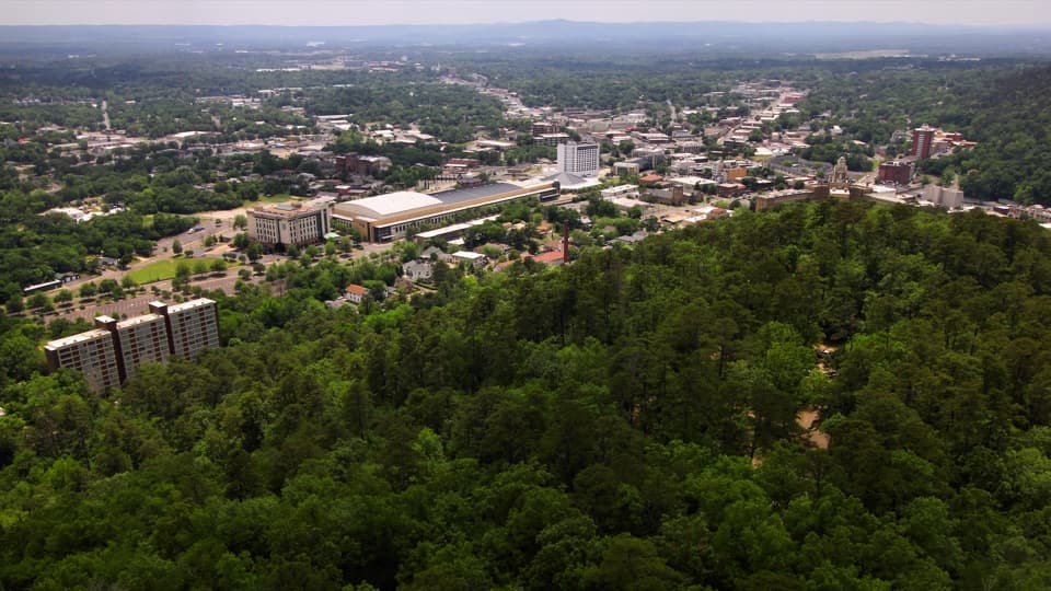 EasyHot Springs Mountain Trail1.7 mi · 1 hr · 0.7 mi awayAn easy loop above Hot Springs, with a view between the trees.
 EasyGrand Promenade0.5 mi · 45 min · 0.8 mi awayBenches, spring views, and bathhouses on an easy half-mile walk.
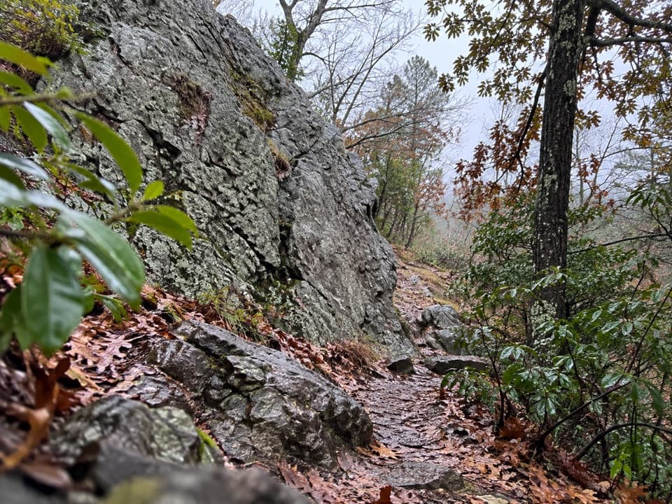 ModerateLower Dogwood Trail0.7 mi · 30 min · 0.8 mi awayBoulders mark a brief mountain climb before the loop drops downhill.
 EasyTufa Terrace Trail0.3 mi · 24 min · 1 mi awayA short paved climb to pale tufa beside the thermal cascade
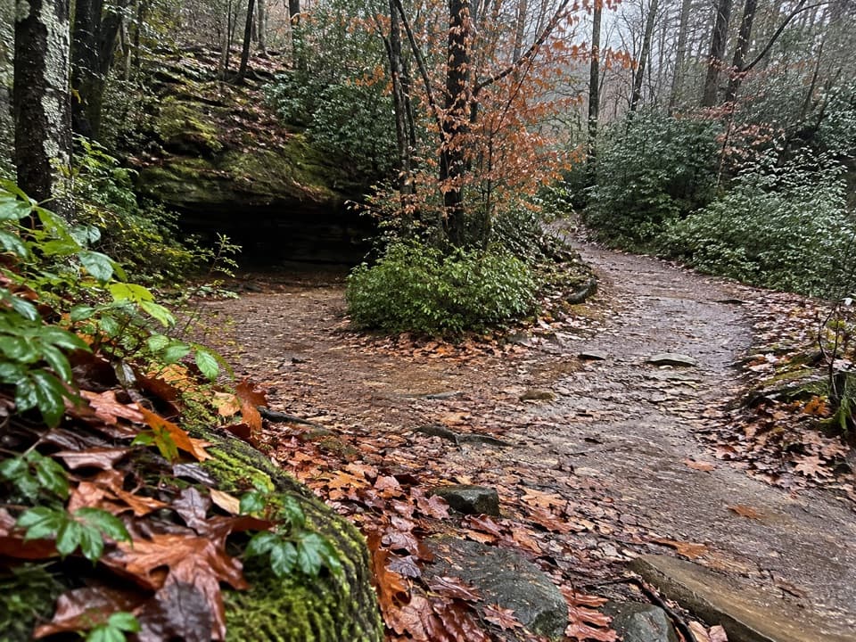 ModerateCanyon Trail0.7 mi · 36 min · 1 mi awayA short downtown climb that gets steep on the mountain side.
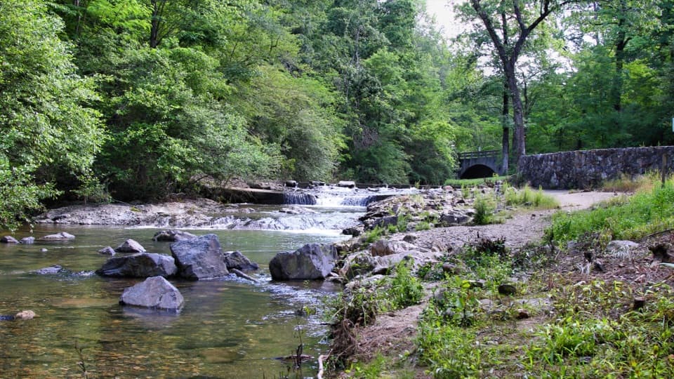 Campground · 0.2 mi awayGulpha Gorge CampgroundFull-hookup camping beside a creek, close to Bathhouse Row.
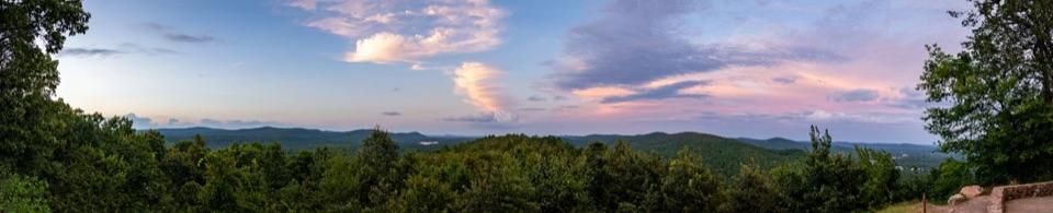 Sight · 0.2 mi awayGoat Rock ViewpointA short climb to a rock perch above the Zigzag Mountains.
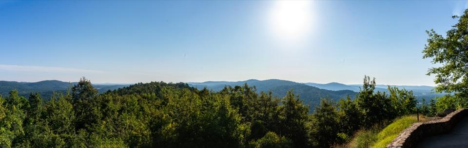 Scenic pullout · 0.2 mi awayNorth Mountain OverlookA quick ridge view at the top of the mountain loop.
 Picnic area · 0.3 mi awayGulpha Gorge Picnic AreaShady creekside tables make an easy lunch stop.
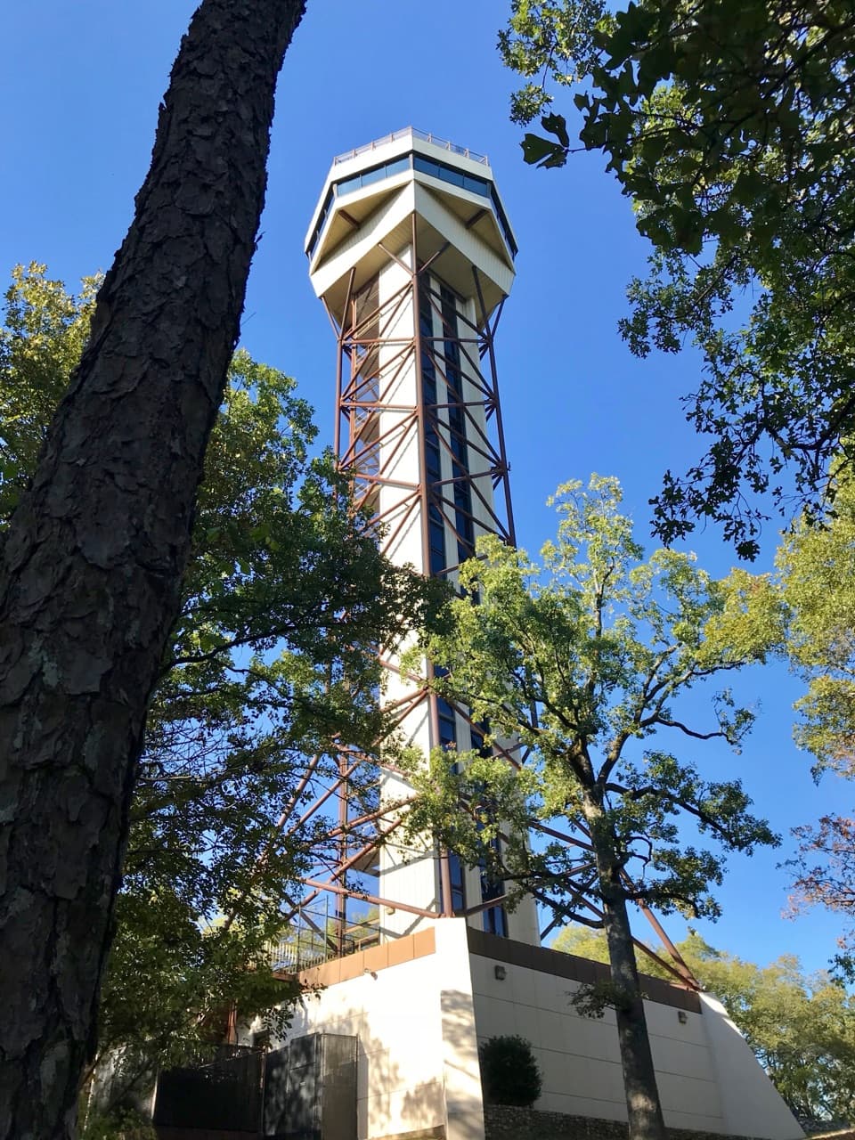 Sight · 0.6 mi awayHot Springs Mountain TowerA 216-foot elevator ride to wide views and park history.
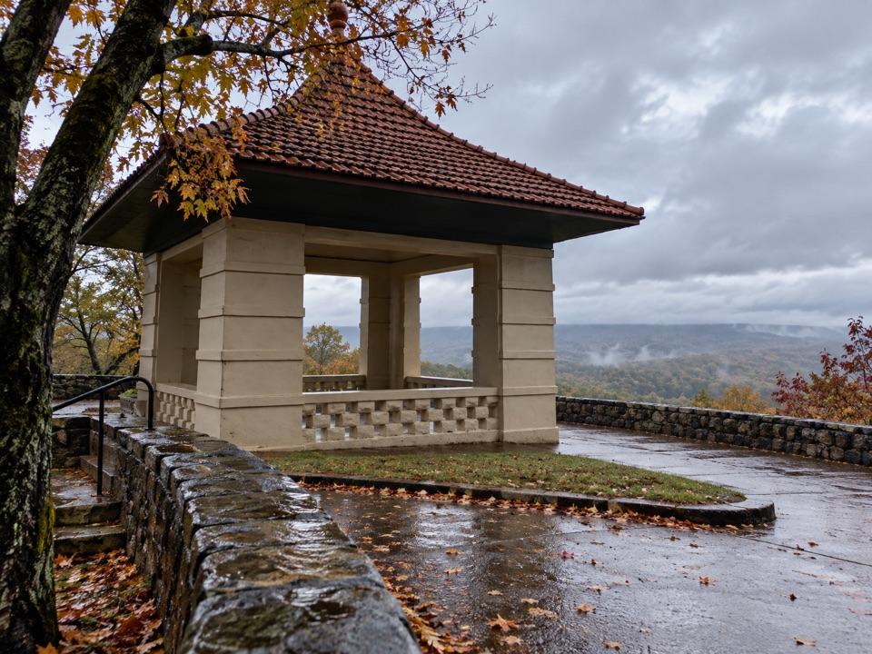 Sight · 0.7 mi awayHot Springs Mountain Pagoda and Picnic AreaA 1911 pagoda frames Hot Springs and the Ouachitas.
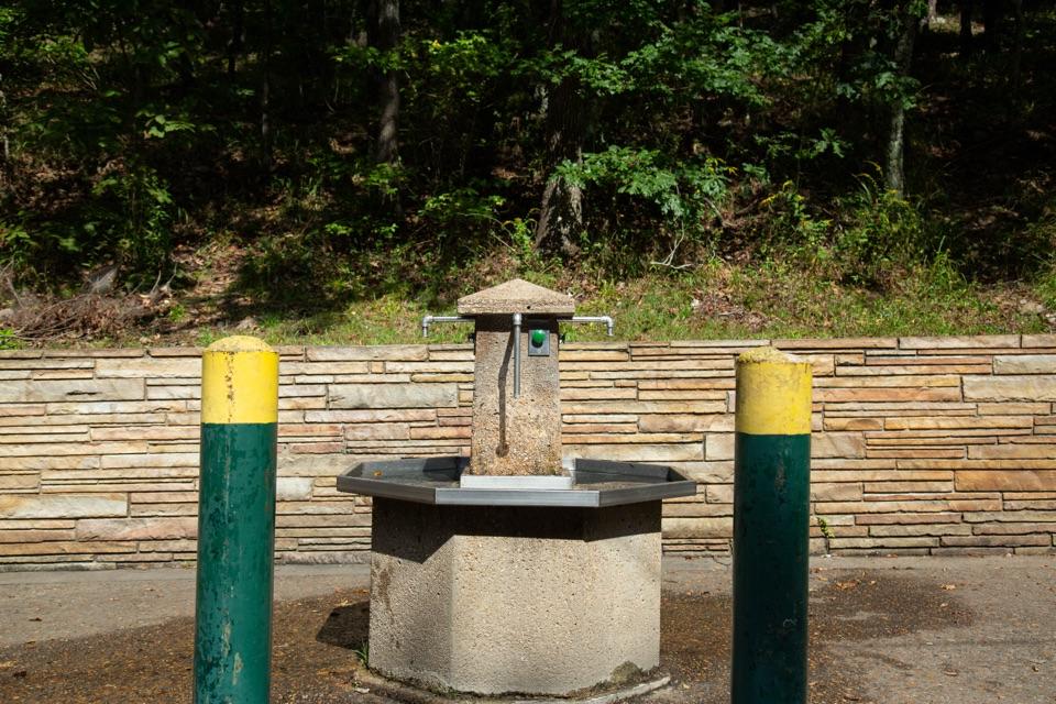 Sight · 0.7 mi awayHappy Hollow Jug Fountain (Cold)A free cold-spring refill stop, praised for its water.
 Lodging · 0.9 mi awayThe Arlington Resort Hotel & SpaA 1924 landmark with twin towers and its own thermal bathhouse.
Parkwolf’s Hot Springs ranking

The audio tour guide for the drive, plus offline maps, trails, and wildlife heatmaps for when the signal drops.