Parking
Use the Pavilion and Picnic Area parking at the top of Hot Springs Mountain Drive; it is the closest access to this loop.
#3 of 19 trails in Hot Springs
Hot Springs National Park, AR
An easy loop above Hot Springs, with a view between the trees.
Overview
Map & elevation
Plan your hike

The highest, rockiest slopes around here are a summer buffet for grizzly bears.
Hot Springs Tour Guide
Parkwolf is a GPS audio tour guide for Hot Springs National Park. As you drive, it chimes in with what’s ahead: hidden gems, upcoming stops, history, geology, and wildlife, right through your car’s speakers.
Recorded for this trailhead
Hot Springs Mountain: Pagoda and Tower“Up ahead is the Hot Springs Mountain summit area, with the Pagoda and Mountain Tower. For a quick roadside view, stop at the Pagoda.”
Plays as you drive up to this trailhead in the Parkwolf Hot Springs Tour Guide.
More stories near here in the app
“Fantastic app with many points of information… It’s great to just turn on while you’re driving and it gives you an audio tour of the national Park. We love it!!!!”


Trail guide
Hot Springs Mountain Trail is a roughly 1.7-mile loop around the wooded top of Hot Springs Mountain, starting and finishing beside the Pavilion and Picnic Area. It is an easy walk with several scenic overlooks rather than a steep climb to one summit. Plan 45 to 75 minutes, with the longer end if you stop at each opening. The footway follows rolling ground; it rises and falls some, but it is not a sustained climb. I’d choose it for a low-commitment taste of woods and city views, not for a long hike or continuous open ridge.
The trail makes a broad circuit at the mountain top, mostly beneath mixed deciduous and coniferous forest. Its dirt surface keeps it feeling like a walk in the woods, though the route stays near the summit drive and a network of other trails. Several connectors meet near the Pavilion, so use the Hot Springs Mountain Trail line at crossings. Peak Trail leads to the tower and makes a different outing; follow that branch only if you mean to add the tower. Staying on the named circuit keeps this visit close to 1.7 miles.
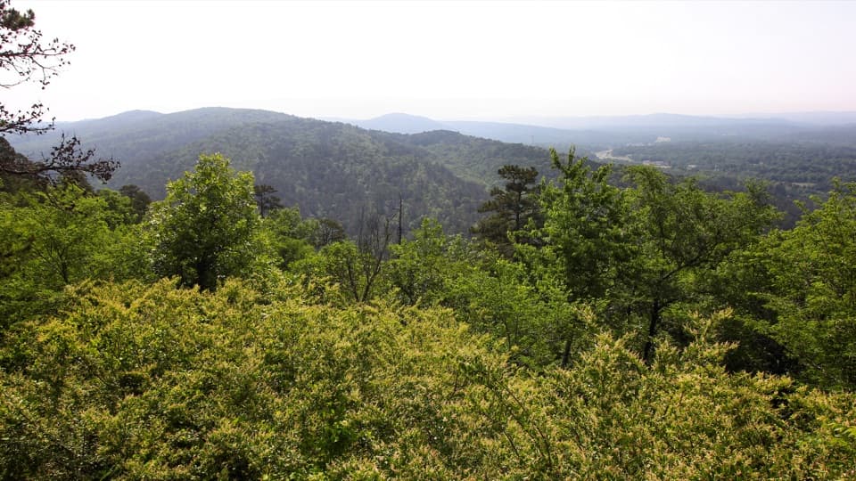
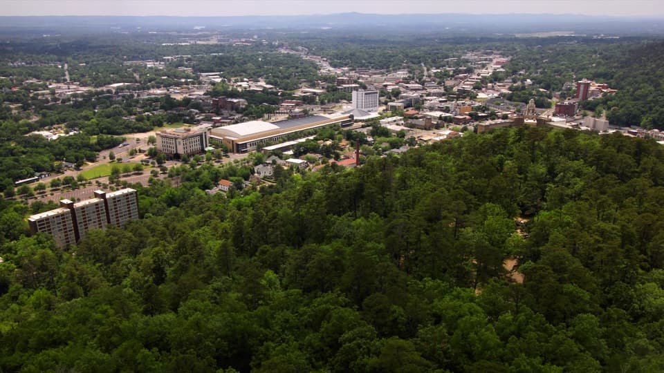
The tree canopy gives useful shade through leafy months. In winter, leaf-off opens more glimpses between the trees. Several overlooks interrupt the forest with views toward Hot Springs and the green ridges around the city. This is a series of view breaks, not a fully open ridge walk. For a phone photo, keep some rooftops below the ridge line; the buildings show how town and mountain fit together.
Drive up Hot Springs Mountain Drive to the Pavilion and Picnic Area. Parking for both is at the top, and the map marks restrooms and picnic facilities beside the access. It is a convenient place to stop before or after the walk. Dogs are allowed on park trails on a six-foot leash. If you are adding mileage, choose the connected routes deliberately; the nearby trail network can send you on a different hike.
Hot Springs Mountain Tower is close, but it is a separate stop reached by Peak Trail and is not part of this circuit. Add it when you want a higher panorama and allow extra time rather than counting the tower as the loop’s finish. The current 216-foot observation tower opened in June 1983, the third tower on the mountain. A wooden lookout was built in 1877, followed by the steel Rix Tower in 1906.
Hot Springs sits in the Zigzag Mountains, named for sharply bent rock layers formed during the Ouachita mountain-building collision about 300 million years ago. The wider park’s bedrock includes sandstone, shale, chert and novaculite; the hard novaculite was prized as whetstone. Most of this loop is wooded rather than a bare rock scramble, so those folds show up mainly in the ridges beyond the overlooks. It gives the skyline a story without turning this easy walk into a geology lesson.
Wildlife
 71 sightingsWhite-tailed DeerMost seen around 6 PMSighting map
 11 sightingsGroundhogMost seen around 7 AMSighting map
 12 sightingsMexican Long-nosed ArmadilloMost seen around 8 PMSighting map
 16 sightingsTurkey VultureMost seen around noonSighting map
 41 sightingsCardinalMost seen around 7 AMSighting map
 27 sightingsSummer TanagerMost seen around 7 AMSighting map
Sighting maps show where each species has been reported across Hot Springs. Wildlife moves, so no sighting is guaranteed.
Keep exploring
 EasyGrand Promenade0.5 mi · 45 min · 0.2 mi awayBenches, spring views, and bathhouses on an easy half-mile walk.
 ModerateFloral Trail0.4 mi · 30 min · 0.3 mi awayA quick valley dip linking two North Mountain trails.
 EasyTufa Terrace Trail0.3 mi · 24 min · 0.3 mi awayA short paved climb to pale tufa beside the thermal cascade
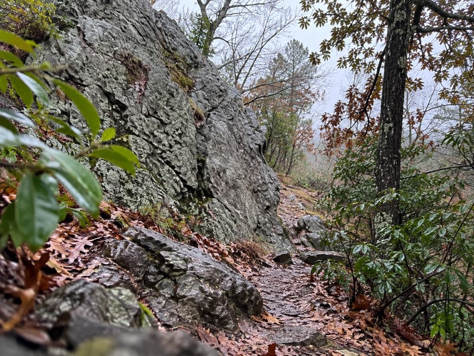 ModerateLower Dogwood Trail0.7 mi · 30 min · 0.3 mi awayBoulders mark a brief mountain climb before the loop drops downhill.
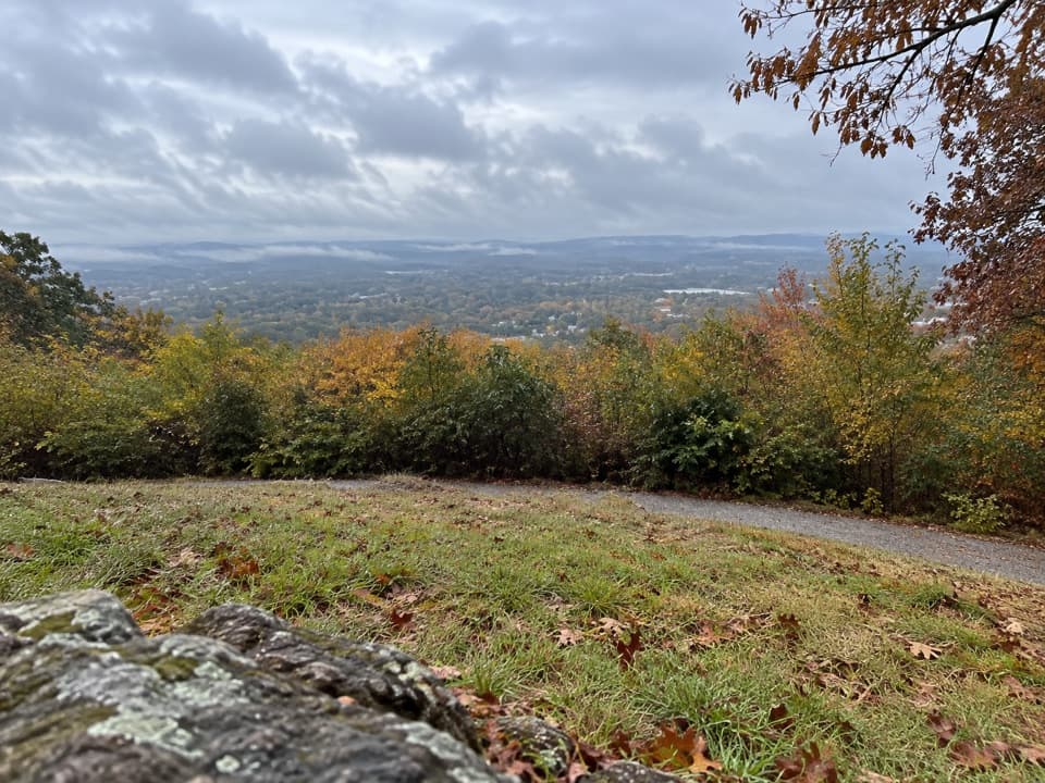 ModeratePeak Trail1.2 mi · 40 min · 0.3 mi awayA 400-foot climb rewards you with summit overlooks and a tower.
 ModerateOertel Trail1.4 mi · 45 min · 0.3 mi awayA steep, bumpy gravel climb links downtown with mountain trails.
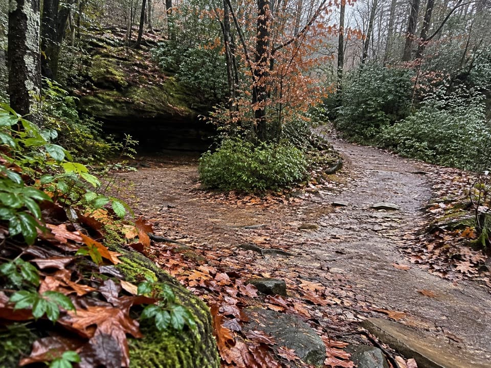 ModerateCanyon Trail0.7 mi · 36 min · 0.4 mi awayA short downtown climb that gets steep on the mountain side.
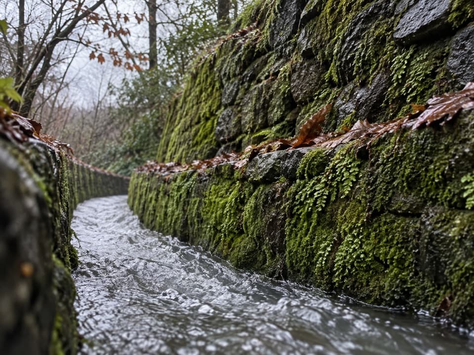 ModerateOak Trail1 mi · 35 min · 0.5 mi awayA short dirt climb from Bathhouse Row into West Mountain’s trails.
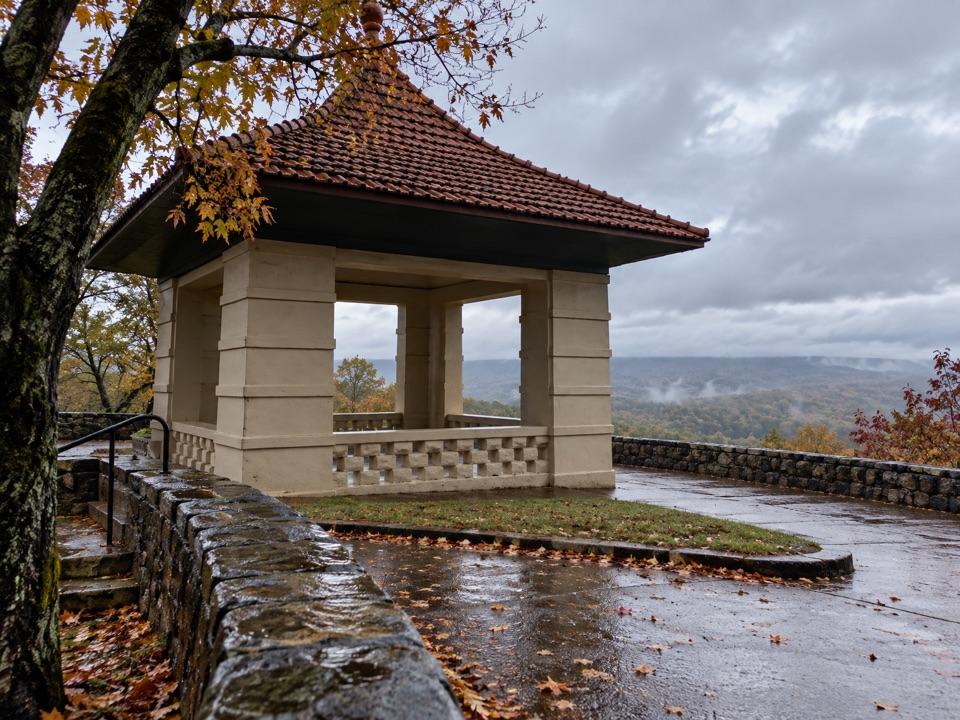 Sight · 0.1 mi awayHot Springs Mountain Pagoda and Picnic AreaA 1911 pagoda frames Hot Springs and the Ouachitas.
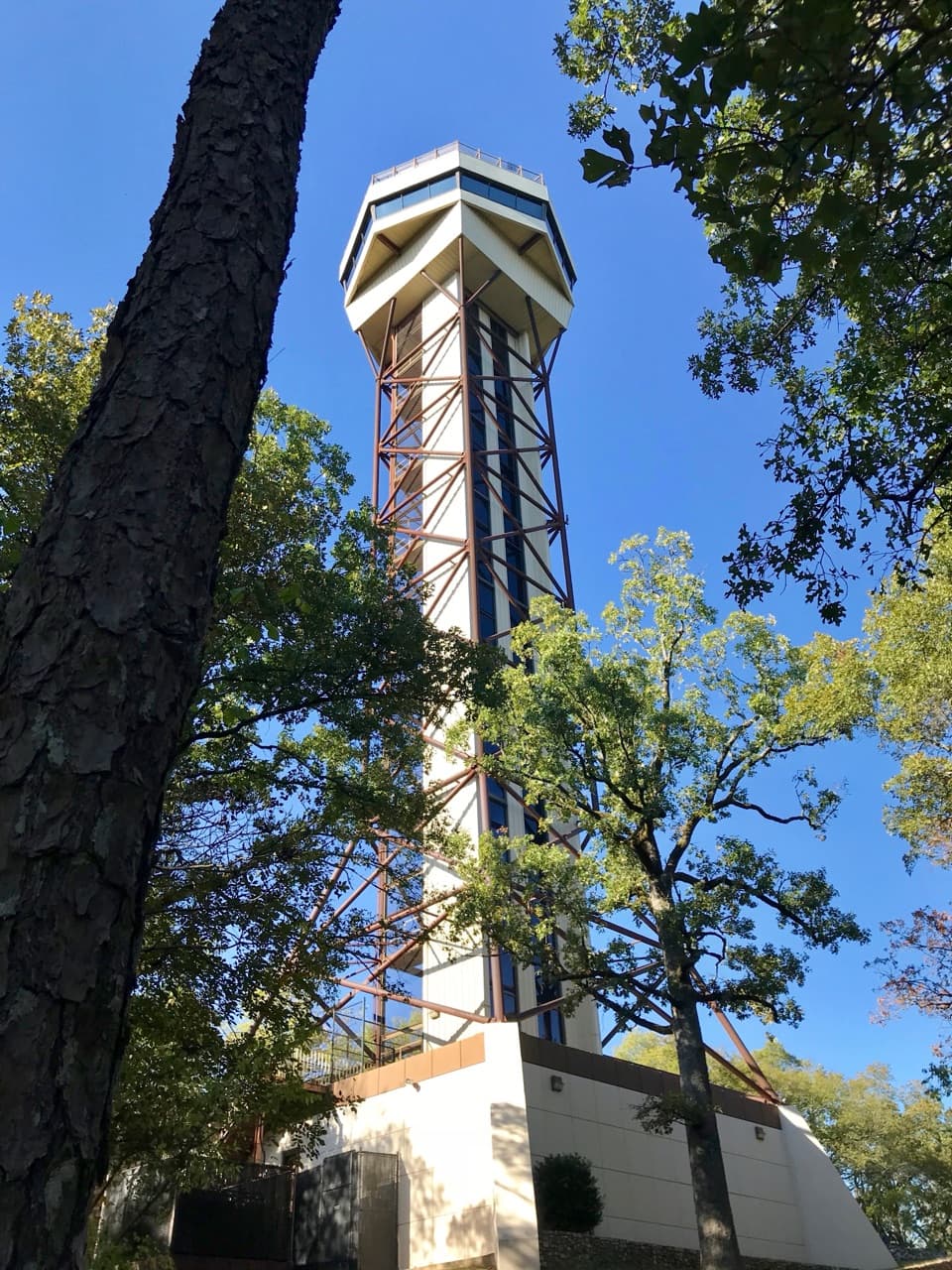 Sight · 0.1 mi awayHot Springs Mountain TowerA 216-foot elevator ride to wide views and park history.
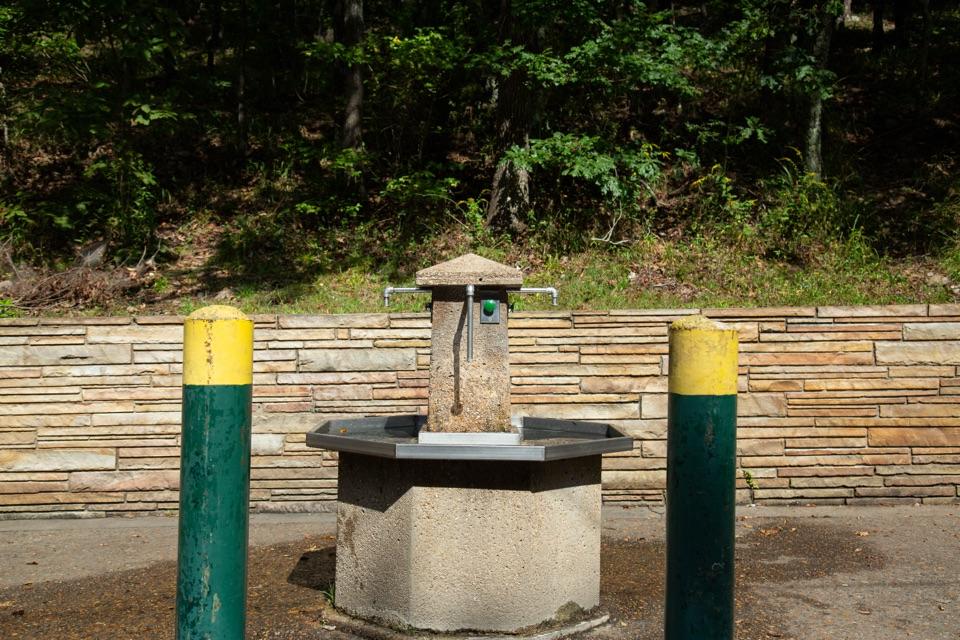 Sight · 0.2 mi awayHappy Hollow Jug Fountain (Cold)A free cold-spring refill stop, praised for its water.
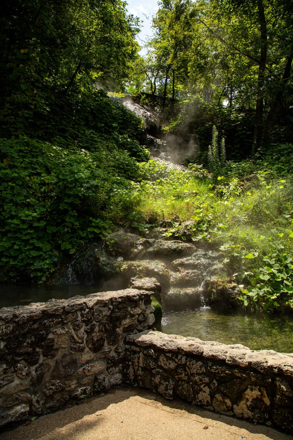 Sight · 0.3 mi awayHot Water CascadeThermal water tumbles through two pools along Bathhouse Row.
 Sight · 0.3 mi awayArlington LawnA lawn where two earlier Arlington Hotels stood.
 Lodging · 0.3 mi awayThe Arlington Resort Hotel & SpaA 1924 landmark with twin towers and its own thermal bathhouse.
 Sight · 0.3 mi awayLibbey Thermal Water Jug FountainFree hot spring water for your bottle or jug.
 Restaurant · 0.3 mi awaySuperior Bathhouse BreweryThermal-water beer in a 1916 Bathhouse Row landmark.
Parkwolf’s Hot Springs ranking

The audio tour guide for the drive, plus offline maps, trails, and wildlife heatmaps for when the signal drops.