Pros & cons
PROS
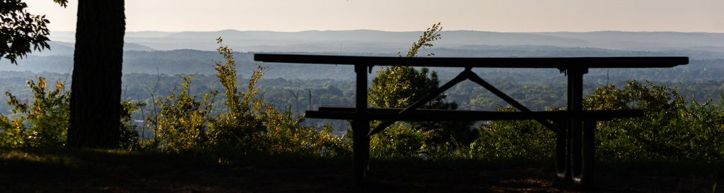
- Highest point with wide west-facing views toward Sugarloaf Mountain
- Photogenic, generally tranquil summit vibe
CONS
- No facilities at or near the summit
- Approach includes steep, loose, rocky sections
Overview
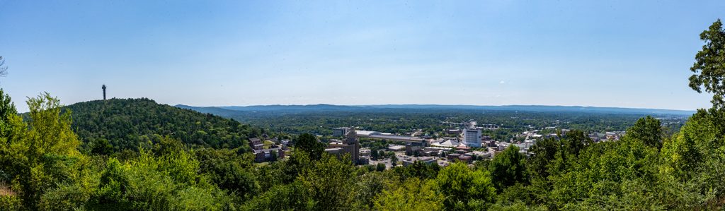
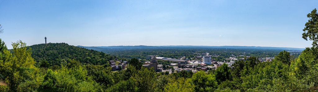
Music Mountain is the park’s high point and a quiet, rewarding perch for broad, westward views toward Sugarloaf Mountain. It’s a favorite with photographers thanks to its light and sightlines, and it feels pleasantly removed from the bustle in town.
Getting There & Route Options
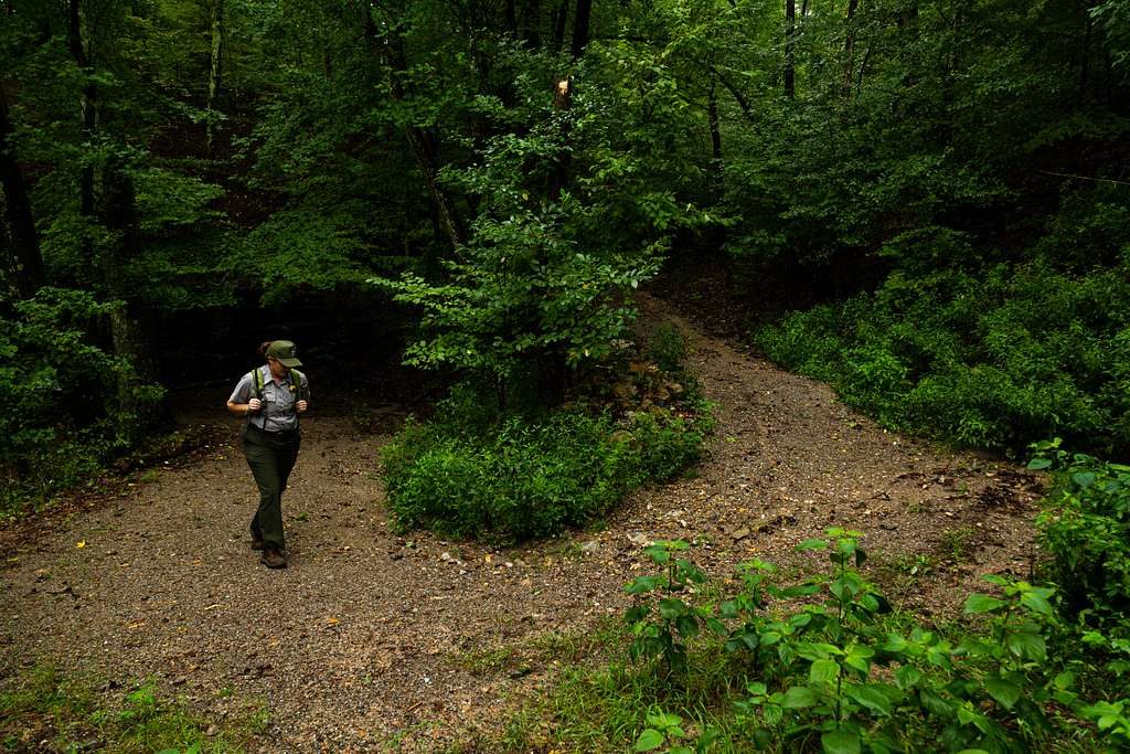
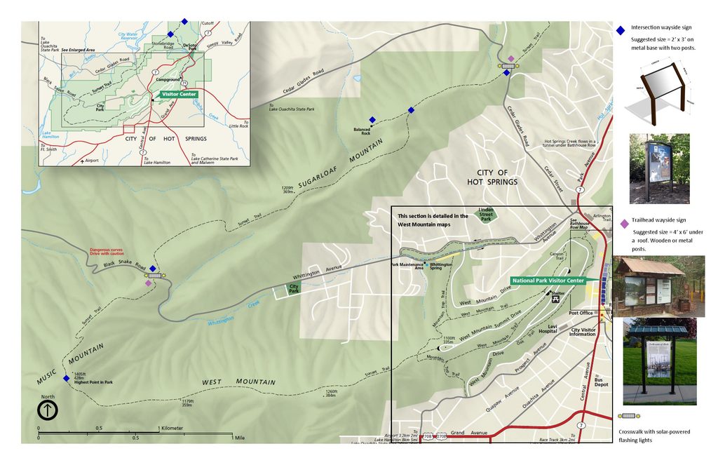
- Most hikers reach the summit via the Sunset Trail on a route that also passes Balanced Rock. Expect about 7.3 miles out-and-back with roughly 1,700 feet of gain. It’s a moderate effort overall, but there are steep grades and patches of loose rock where trekking poles shine.
- Looking for something shorter nearby? The Hot Springs Mountain Trail is a 3.1-mile loop with ~636 feet of gain. It’s a solid local workout with views, but it does not summit Music Mountain.
- Dogs are allowed on-leash, and hiking is common year-round. Carry more water than you think you’ll need.
What You’ll See
From the top, you’ll get big west-facing vistas that play especially well with low-angle light. If you tack on Balanced Rock, you’ll add a fun, photogenic rock feature to the day.
Best Time to Visit
Late afternoon into sunset is the sweet spot for the west-facing views and softer light. Year-round hiking works here; start earlier on hot days to climb the steeper sections in cooler temps and to give yourself time for golden hour at the top.
Know Before You Go
There are no amenities on the mountain—no restrooms, water, or trash cans—so plan your stops before you leave town and pack out everything. Footing can be loose on the climbs; sturdy shoes and poles make the day smoother. Don’t confuse the peak with a similarly named private retreat on Lake Hamilton; that’s outside the park.
A Bit of Context
Music Mountain sits within the folded Zig-Zag Mountains of the Ouachitas. These ridges formed when ancient sediments were crumpled during a long-ago plate collision, leaving hard layers like novaculite standing proud. The park’s famous hot waters come from rain that percolates deep along fractures, warms underground, and returns to the surface carrying dissolved minerals that can build airy, light-gray tufa in places where the water cools.
Where it is
34.5009, -93.1088Tips for Music Mountain
- 01Use the Sunset Trail route that includes Balanced Rock for the full summit day.
- 02Pack extra water and snacks; there are no services on the mountain.
- 03Trekking poles help on the steep, loose sections.
- 04Don’t mix it up with the similarly named private retreat on Lake Hamilton.
Amenities
Near Music Mountain
All places →All trails →
1 mi awayWest MountainShady ridge drive and loops with quick views over townTrailhead · Pullout
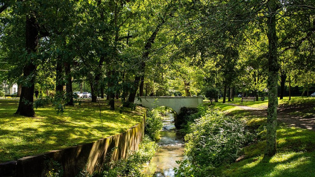
2.2 mi awayWhittington TrailShady, flat gravel loop with historic bridges and easy in-town vibesEasy · 1.2 mi · 36 min
2.2 mi awayWhittington ParkShady creekside loop with historic bridges and markersParking · Trailhead
2.4 mi awayWest Mountain Picnic OverlookStone shelter picnic spot with big city-and-mountain viewsParking · Scenic Viewpoint
2.4 mi awayWest Mountain Summit OverlookDrive up overlook with southern views and a novaculite outcropParking · Scenic Viewpoint
2.5 mi awayCanyon TrailShort, steep climb from downtown to West Mountain views.Moderate · 2.1 mi · 1 hr
2.6 mi awayMountain Top TrailShaded climb to West Mountain with quick downtown views and loop optionsModerate · 3 mi · 2 hr
3.3 mi awayGrand PromenadeBrick promenade above Bathhouse Row with springs and historyEasy · 0.7 mi · 18 min