Canyon Trail in Hot Springs National Park

Hot Springs National Park, AR

Canyon Trail

A short downtown climb that gets steep on the mountain side.

Length
0.7mi
Time
36min
Elev. change
279ft
Difficulty
Moderate
  • Dogs allowed
  • High point 948 ft

Hear the audio tour

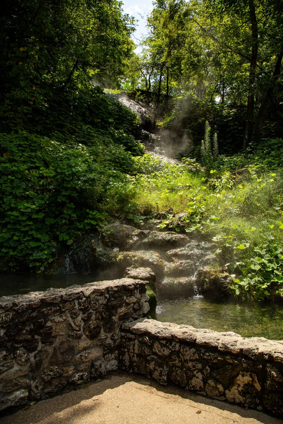
Arlington Lawn and Hot Water Cascade

Overview

About Canyon Trail

Why go

  • A direct 0.7-mile climb from downtown into the West Mountain trail network
  • Easy to pair with other marked mountain routes

Heads up

  • The very steep upper stretch makes this harder than the short distance suggests
  • There is no loop; returning to downtown means climbing or descending the same corridor

Map & elevation

The route

Loading the Hot Springs map
Full map
Elevation669–948 ft
TrailheadCanyon Trailhead behind Mountain Valley Spring Co. Visitor Center34.51753, -93.05504
Keep this map with you offline in the Parkwolf app

Plan your hike

Before you go

Parking

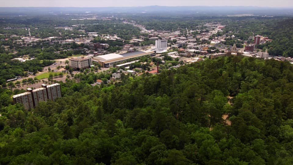
Start behind the Mountain Valley Spring Co. visitor center on Central Avenue. Use downtown off-street parking around Bathhouse Row; nearby parking includes privately operated lots across from the row and to its south, so allow a walk to the trailhead.

Safety

Packed gravel with a typical 10% grade; the section between West Mountain Drive and West Mountain Trail is very steep. The route is not ADA-compliant.

1 active Hot Springs alert

  • InfoBurn ban in parkA burn ban is in effect because of high fire danger. - In the campground and picnic areas, only gas and charcoal grills are currently allowed; the ban was enacted August 15, 2026.Official details
Hot Springs alerts
A park ranger sits on a dash-mounted phone, talking, as Parkwolf’s Tour Guide plays “Army Cutworm Moths: A Grizzly Bear Buffet” on Grand Loop Road below Dunraven Pass in Yellowstone
Parkwolf Tour GuideThe highest, rockiest slopes around here are a summer buffet for grizzly bears.

Hot Springs Tour Guide

Your drive to Canyon Trail, narrated.

Parkwolf is a GPS audio tour guide for Hot Springs National Park. As you drive, it chimes in with what’s ahead: hidden gems, upcoming stops, history, geology, and wildlife, right through your car’s speakers.

Recorded for this area

Arlington Lawn and Hot Water Cascade
0:00 / 0:31
“Arlington Lawn is coming up, with Hot Water Cascade beside its pavilion. This is the park's largest visible spring, where thermal water spills down a rock face into two pools.”

Plays on the road 0.2 mi from the trailhead in the Parkwolf Hot Springs Tour Guide.

More stories near here in the app

  • Superior Bathhouse Brewery: A Meal by the Springs
  • West Mountain: Town Views and a Stone Shelter
  • Fordyce Bathhouse: Beyond the Baths
  • Hot Springs Mountain: Pagoda and Tower
  • 18 audio storiesacross Hot Springs’s roads, triggered by GPS as you drive
  • Wildlife heatmapsfor White-tailed Deer, Groundhog, Mexican Long-nosed Armadillo, and 13 more
  • Works offlinemaps, 19 trails, 33 places, and audio download before you lose signal
  • CarPlay readysimple controls built for the drive
★★★★★
“Fantastic app with many points of information… It’s great to just turn on while you’re driving and it gives you an audio tour of the national Park. We love it!!!!”
JMJamesApp Store review
Download Parkwolf on the App StoreGet Parkwolf on Google Play

4.7 from 8,600+ ratings

Trail guide

Hiking Canyon Trail

A short climb into the West Mountain trailsCanyon Trail is a 0.

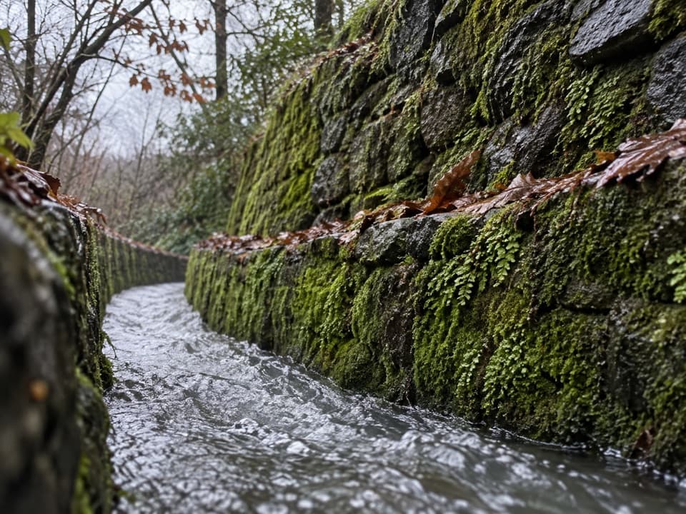
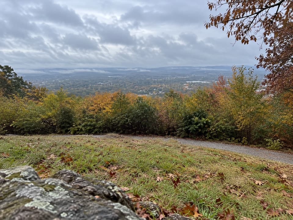
Canyon Trail is a 0.7-mile, one-way climb from downtown Hot Springs to the West Mountain Trail junction. It starts behind the Mountain Valley Spring Co. visitor center and climbs from Central Avenue into the wooded mountain trail network. Allow 25 to 45 minutes one way. There and back on the same route is about 1.4 miles. This works best as a direct connection to a longer mountain walk; it isn't a loop.

The climbThe tread is packed gravel, with a typical grade around 10%.

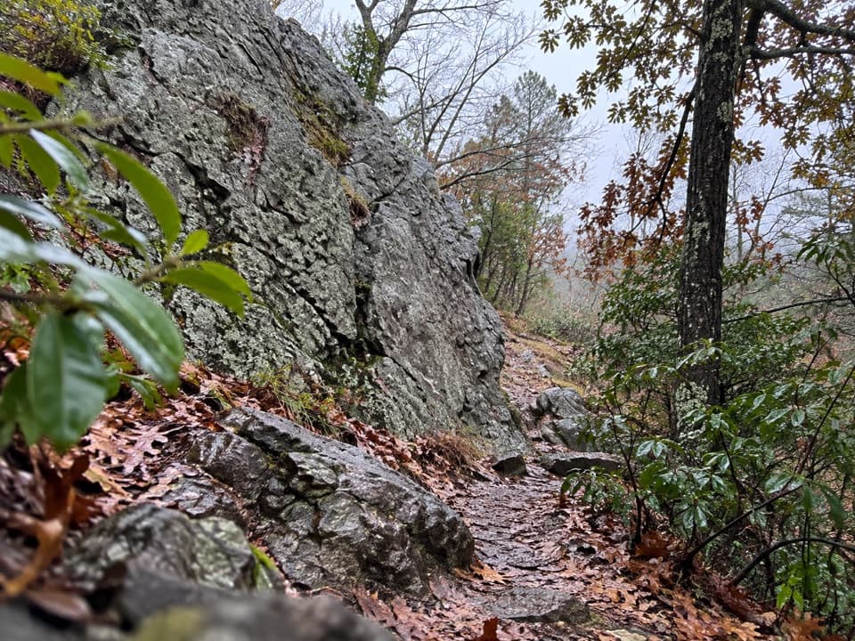
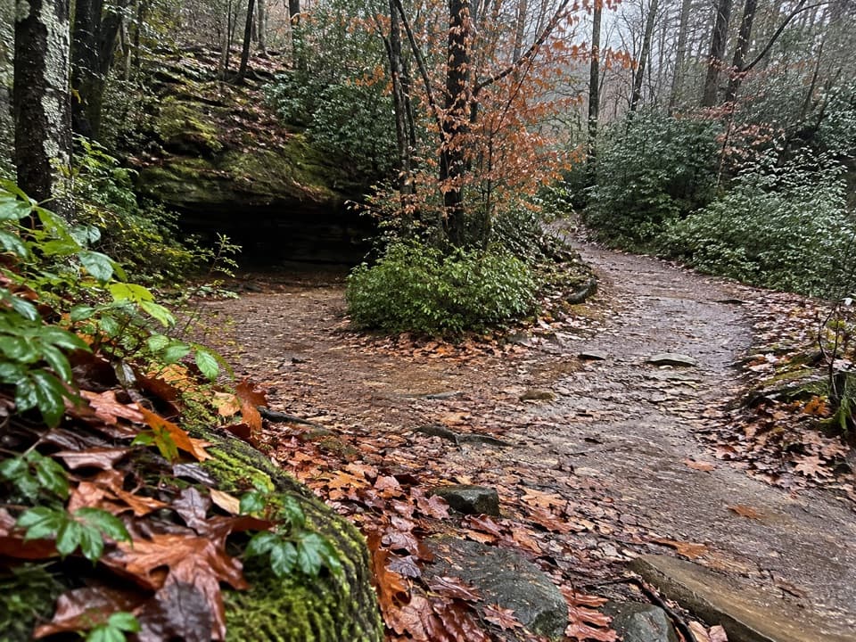
The tread is packed gravel, with a typical grade around 10%. The steepest stretch is between West Mountain Drive and West Mountain Trail, so this short distance still takes effort. The path weaves uphill through trees, then meets the mountain route network. It's not ADA-compliant.

Continue or turn aroundAt the upper end, Canyon Trail meets the separately named West Mountain Trail.

At the upper end, Canyon Trail meets the separately named West Mountain Trail. You can return the way you came or continue onto another marked route, such as Oak Trail; those extra miles are not part of Canyon Trail's 0.7-mile distance. Dogs are allowed on leash.

Getting to the startThe trailhead is behind the Mountain Valley Spring Co. visitor center on Central Avenue.

The trailhead is behind the Mountain Valley Spring Co. visitor center on Central Avenue. Use downtown off-street parking around Bathhouse Row; nearby lots include privately operated parking across from the row and to its south, so allow a walk to the trailhead.

Wildlife

Wildlife in Hot Springs

All Hot Springs wildlife maps

Sighting maps show where each species has been reported across Hot Springs. Wildlife moves, so no sighting is guaranteed.

Keep exploring

Near Canyon Trail

See it all on the map

Trails that start nearby

Places near the trailhead

Parkwolf’s Hot Springs ranking

Top-rated trails in Hot Springs

All 19 trails
  1. 1Grand PromenadeEasy · 0.5 mi
  2. 2Goat Rock TrailModerate · 2.2 mi
  3. 3Hot Springs Mountain TrailEasy · 1.7 mi
  4. 4Tufa Terrace TrailEasy · 0.3 mi
  5. 5Balanced Rock TrailModerate · 2 mi
  6. 6Peak TrailModerate · 1.2 mi

Take Parkwolf to Hot Springs.

The audio tour guide for the drive, plus offline maps, trails, and wildlife heatmaps for when the signal drops.

4.7 from 8,600+ ratings

Download Parkwolf on the App StoreGet Parkwolf on Google Play