

Place · 0.4 mi away
Moderate
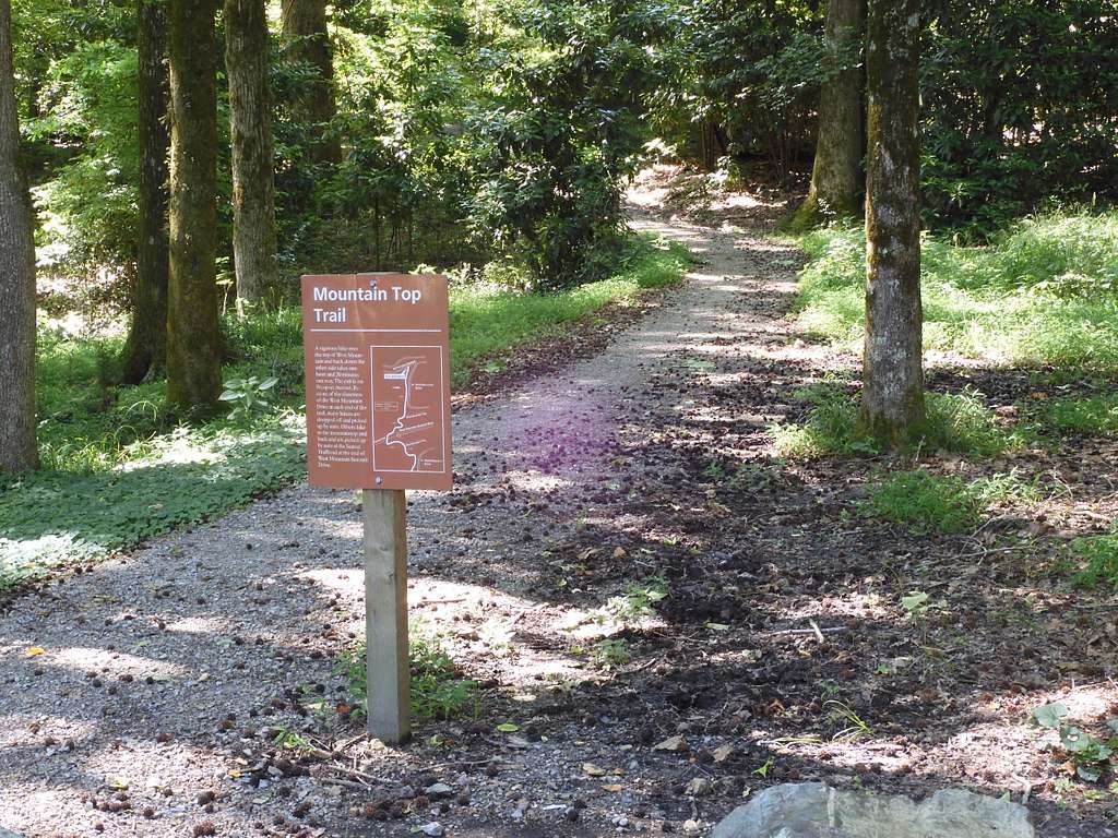
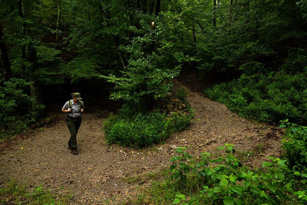
Mountain Top Trail is a forested ridge climb to the crest of West Mountain, with intermittent peeks and a solid payoff near the top. The official route is 1.5 miles one way (3.0 miles total out-and-back) with roughly 425 feet of elevation gain. Expect a well‑maintained tread that’s mostly rocky or packed gravel and plenty of shade.
Direction matters. Heading southbound you’ll gain elevation more quickly and feel the cardio early. Northbound is a steadier rise to its high point, then a steeper descent to the Whittington Park trailhead. Many hikers report 45–75 minutes one way depending on pace and direction; plan about 1.5–2 hours for the full out‑and‑back. Grades are moderate with a few steeper pitches, and the crushed rock can be loose on descents, so watch your footing.
Mountain Top connects with West Mountain Trail, Canyon Trail, and the long Sunset Trail, making loop variations easy if you want to extend. The south end reaches the upper West Mountain area near Prospect Avenue; the north end anchors at Whittington Park.
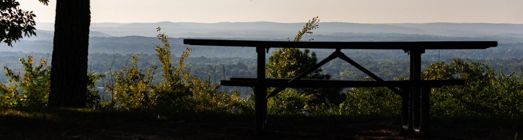
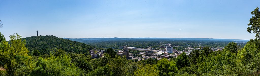
This is a woods walk for much of the way—peaceful and quiet under oak‑pine canopy—with the best views near the top of West Mountain where you can look toward downtown Hot Springs. Wildlife sightings are common; keep an eye out for deer and box turtles along the path. Some hikers mention a cold spring along the way, but don’t count on it for resupply.
Start early for cooler temps and emptier paths; shade helps, but summer heat and humidity still hit hard. Spring is a standout season here: comfortable 50–75°F days, blooming dogwoods/redbuds/azaleas, and clearer views. The trail sees light to moderate use and is comfortable most of the year. Good traction shoes (and optional poles) make the steeper, gravelly bits easier.
If you’re chasing constant vistas, this won’t wow you until the top. But for an in‑town climb with quick access, a real summit feel, and easy link‑ups, Mountain Top is a strong, efficient outing.
Primary access from Whittington Park trailhead on the north end; limited street parking near Prospect Avenue on the south if doing a point‑to‑point.
Direction matters—northbound ends with a steep descent to Whittington. Footing can be loose on gravel; summer heat and humidity are real. Carry your own water and don’t rely on finding a spring.
Place · 0.4 mi away
Place · 0.5 mi away
Place · 0.5 mi away
Place · 0.6 mi away
Moderate · 0.1 mi away
Easy · 0.4 mi away
Easy · 0.8 mi away
Easy · 0.8 mi away

Parkwolf Tour Guide
