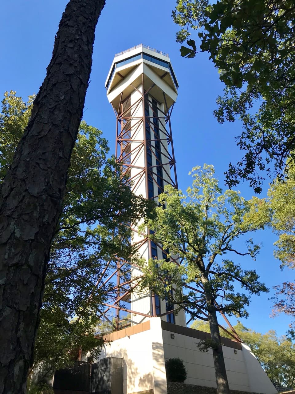
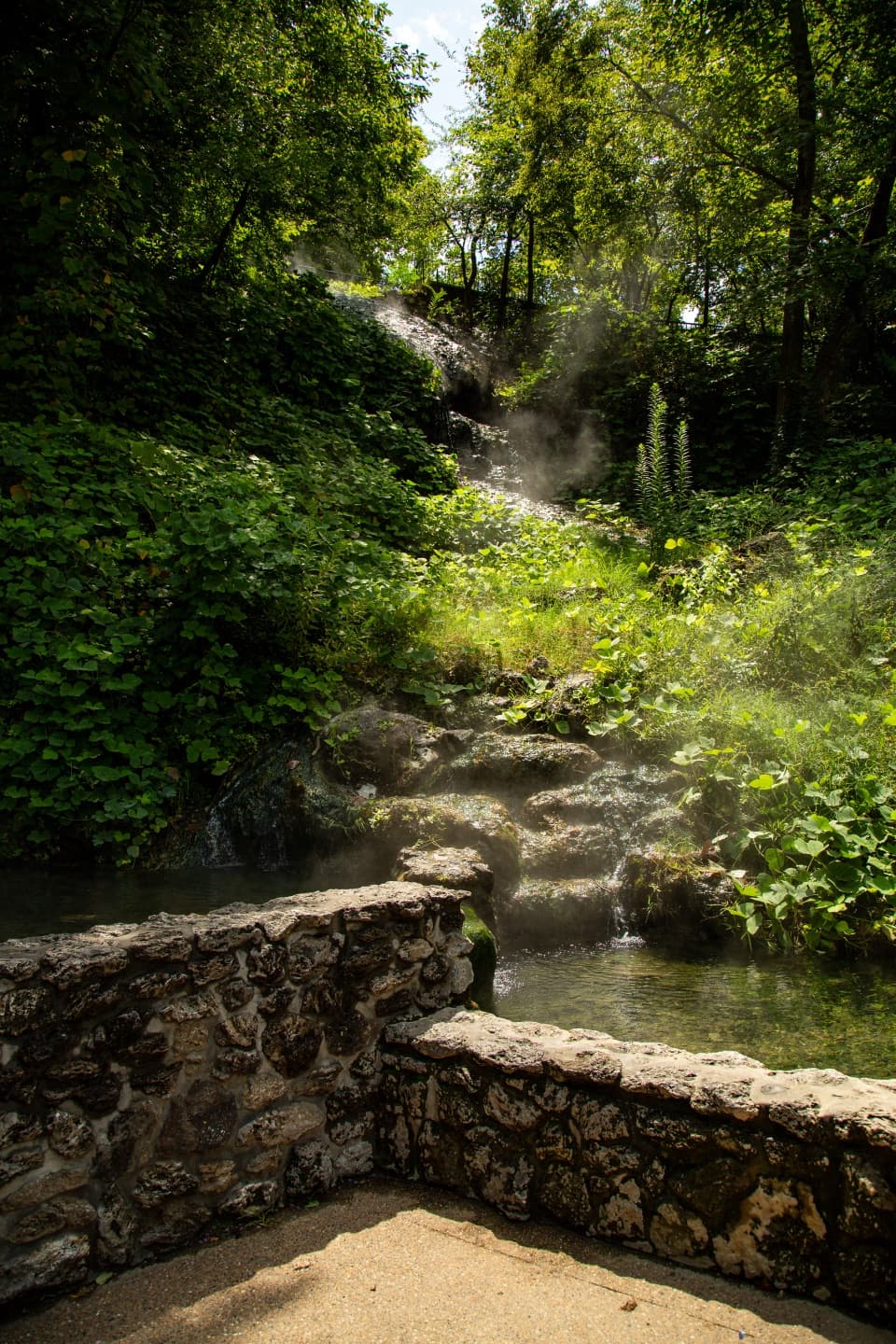
1 active Hot Springs alert
- InfoBurn ban in parkA burn ban is in effect because of high fire danger. - In the campground and picnic areas, only gas and charcoal grills are currently allowed; the ban was enacted August 15, 2026.Official details

Picnic area · Hot Springs National Park
A shaded picnic stop with city views and a 1924 stone shelter.
Map
Plan your stop

The highest, rockiest slopes around here are a summer buffet for grizzly bears.
Hot Springs Tour Guide
Parkwolf is a GPS audio tour guide for Hot Springs National Park. As you drive, it chimes in with what’s ahead: hidden gems, upcoming stops, history, geology, and wildlife, right through your car’s speakers.
Recorded for this place
West Mountain: Town Views and a Stone Shelter“West Mountain's lower and picnic overlooks are ahead, with views back over Hot Springs.”
Plays as you drive up to West Mountain Picnic Overlook in the Parkwolf Hot Springs Tour Guide.
More stories near here in the app
“Fantastic app with many points of information… It’s great to just turn on while you’re driving and it gives you an audio tour of the national Park. We love it!!!!”


Guide
West Mountain Picnic Overlook is a drive-up picnic stop halfway around the Summit Loop on West Mountain, with picnic tables and a shaded stone shelter above the city. It is a good place to linger if you want a seat in the shade along the mountain drive. The shelter and tables are the reason to stop; the lower and summit overlooks make their own stops along the same loop.
This middle overlook looks toward Hot Springs from the higher slope. The lower overlook takes in Bathhouse Row and downtown, while the summit turns south toward the Trap Mountains and Lake Hamilton. Give this one a few minutes to take in the city view and look around the picnic area.
The stone West Mountain Shelter House dates to 1924 and is the oldest shelter still standing in the park. The park's shelter houses were built as places to rest and enjoy the views, and that purpose still fits this spot.
West Mountain Drive climbs from entrances on Prospect Avenue and Whittington Avenue to Summit Loop. Follow it uphill to the shelter and parking lot. Designated parking at scenic-drive stops is free. The mountain roads are winding and restricted to vehicles no longer than 30 feet. West Mountain Trail access is across the street or beside the lot.
For a photo, use a shaded table or the pine branches as a foreground and leave room for the rolling hills beyond. That gives the picture both the view and the picnic setting that define this stop.
Wildlife
 71 sightingsWhite-tailed DeerMost seen around 6 PMSighting map
 11 sightingsGroundhogMost seen around 7 AMSighting map
 12 sightingsMexican Long-nosed ArmadilloMost seen around 8 PMSighting map
 16 sightingsTurkey VultureMost seen around noonSighting map
 41 sightingsCardinalMost seen around 7 AMSighting map
 27 sightingsSummer TanagerMost seen around 7 AMSighting map
Sighting maps show where each species has been reported across Hot Springs. Wildlife moves, so no sighting is guaranteed.
Keep exploring
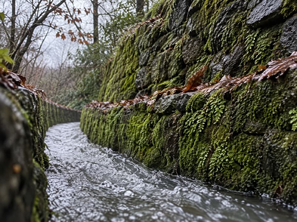 ModerateOak Trail1 mi · 35 min · 0.3 mi awayA short dirt climb from Bathhouse Row into West Mountain’s trails.
 ModerateOertel Trail1.4 mi · 45 min · 0.3 mi awayA steep, bumpy gravel climb links downtown with mountain trails.
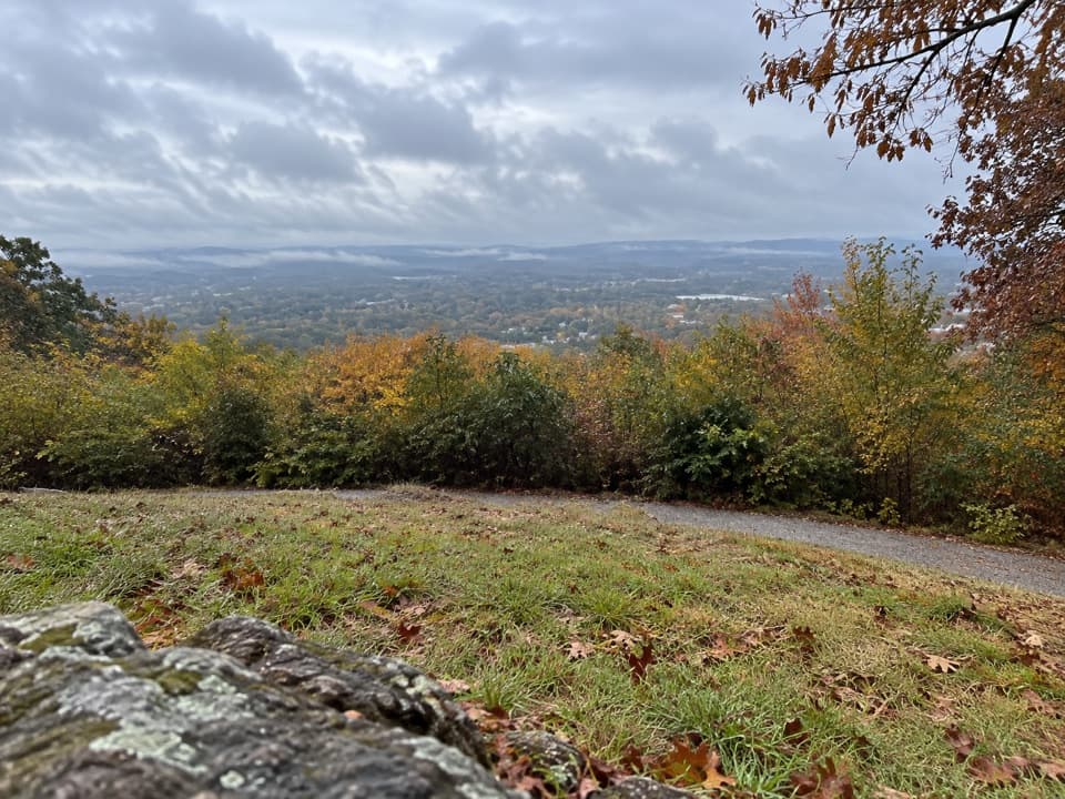 ModeratePeak Trail1.2 mi · 40 min · 0.3 mi awayA 400-foot climb rewards you with summit overlooks and a tower.
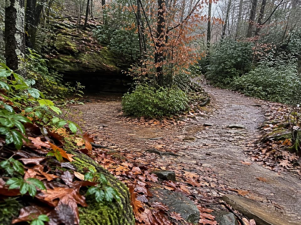 ModerateCanyon Trail0.7 mi · 36 min · 0.4 mi awayA short downtown climb that gets steep on the mountain side.
 EasyTufa Terrace Trail0.3 mi · 24 min · 0.4 mi awayA short paved climb to pale tufa beside the thermal cascade
 EasyWhittington Trail1.2 mi · 30 min · 0.4 mi awayA flat gravel loop past Whittington Creek's old bridges.
 EasyGrand Promenade0.5 mi · 45 min · 0.5 mi awayBenches, spring views, and bathhouses on an easy half-mile walk.
 ModerateWest Mountain Trail Loop2 mi · 1.5 hr · 0.5 mi awayA gradual trail with a steeper Mountain Top return.
 Sight · 0.1 mi awayWest Mountain Lower OverlookBathhouse Row and downtown open up below the road.
 Sight · 0.3 mi awayOzark BathhouseA hands-on look at thermal water, built for curious kids.
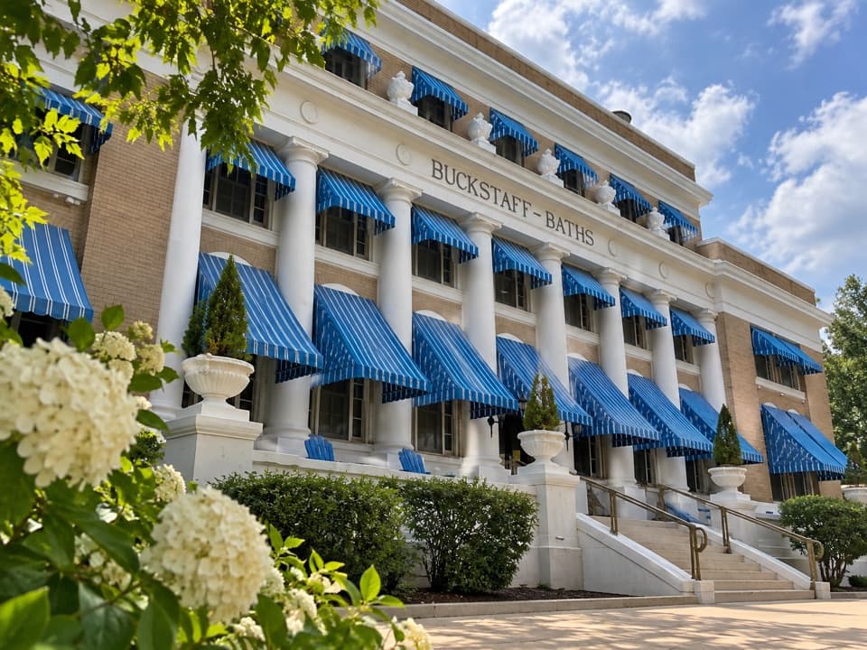 Sight · 0.3 mi awayBuckstaff BathhouseTake a guided thermal bath inside a 1912 Bathhouse Row landmark.
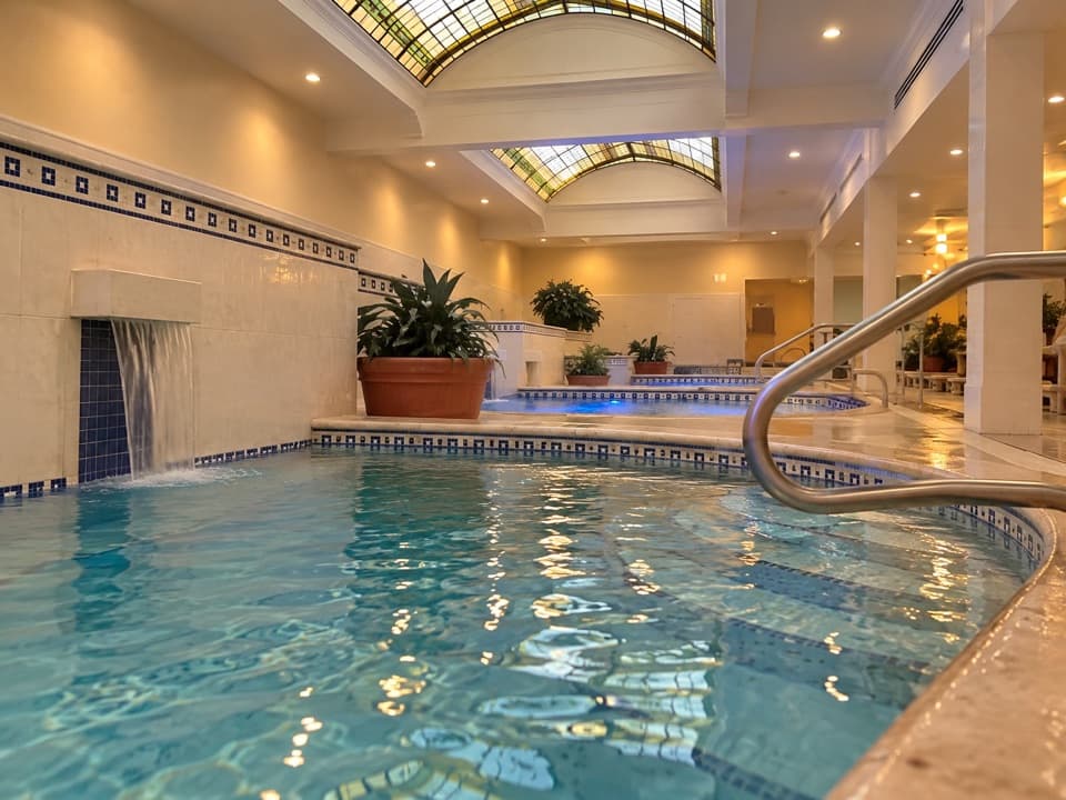 Sight · 0.3 mi awayQuapaw Baths & SpaThermal pools under stained glass in a 1922 bathhouse.
 Store · 0.3 mi awayLamar Bathhouse and Bathhouse Row EmporiumShop for park books inside a bathhouse built in 1923.
 Sight · 0.3 mi awayReserve Street Thermal Water FountainsFill a jug at the thermal fountain and spot a 1936 landmark.
 Sight · 0.3 mi awayFordyce Bathhouse Visitor Center and MuseumA free tour from marble lobby to the basement spring.
 Sight · 0.3 mi awayHill Wheatley Plaza Jug FountainFill a heat-safe jug with naturally hot spring water.
Parkwolf’s Hot Springs ranking

The audio tour guide for the drive, plus offline maps, trails, and wildlife heatmaps for when the signal drops.