Parking
Parking is available along Whittington Avenue beside Whittington Park.

#8 of 19 trails in Hot Springs
Hot Springs National Park, AR
A flat gravel loop past Whittington Creek's old bridges.
Overview
Map & elevation
Plan your hike

The highest, rockiest slopes around here are a summer buffet for grizzly bears.
Hot Springs Tour Guide
Parkwolf is a GPS audio tour guide for Hot Springs National Park. As you drive, it chimes in with what’s ahead: hidden gems, upcoming stops, history, geology, and wildlife, right through your car’s speakers.
Recorded for this trailhead
Whittington Park: Old Bridges and Cold Spring Water“You're nearing Whittington Park, a shaded creekside stop for an easy walk. Its flat gravel loop takes about twenty to forty-five minutes, with benches where you can pause.”
Plays as you drive up to this trailhead in the Parkwolf Hot Springs Tour Guide.
More stories near here in the app
“Fantastic app with many points of information… It’s great to just turn on while you’re driving and it gives you an audio tour of the national Park. We love it!!!!”


Trail guide
Whittington Trail is a flat, 1.2-mile gravel loop around Whittington Park beside Whittington Creek. Allow 20 to 45 minutes for the circuit. It’s an easy place to walk or jog, with a creekside path and backed benches along the way. Pick it for an accessible leg-stretcher, not a mountain climb.
The loop is unpaved gravel with a typical grade of just 0.6%. The National Park Service describes it as ADA compliant. Benches with backs are spread through the park, so you can take a break without having to finish the circuit first.
Whittington Park opened in the 1890s as a pleasure ground with two shallow rowing lakes, pavilions, tennis grounds, and carriage drives. The lakes were filled in during 1905 after they became stagnant in summer. The concrete bridges over the creek date to 1910 and are some of the clearest reminders of the park’s earlier life.
Parking is available along Whittington Avenue beside the park. There are no restrooms in Whittington Park; water is available across the street at the Whittington Spring Jug Station below the Maintenance Building. Dogs are allowed on the loop but must stay on a six-foot leash.
Wildlife
 71 sightingsWhite-tailed DeerMost seen around 6 PMSighting map
 11 sightingsGroundhogMost seen around 7 AMSighting map
 12 sightingsMexican Long-nosed ArmadilloMost seen around 8 PMSighting map
 16 sightingsTurkey VultureMost seen around noonSighting map
 41 sightingsCardinalMost seen around 7 AMSighting map
 27 sightingsSummer TanagerMost seen around 7 AMSighting map
Sighting maps show where each species has been reported across Hot Springs. Wildlife moves, so no sighting is guaranteed.
Keep exploring
 ModerateMountain Top Trail1.5 mi · 1 hr · 0.2 mi awayA wooded ridge crossing with a steep climb and a sharp descent.
 ModerateWest Mountain Trail Loop2 mi · 1.5 hr · 0.5 mi awayA gradual trail with a steeper Mountain Top return.
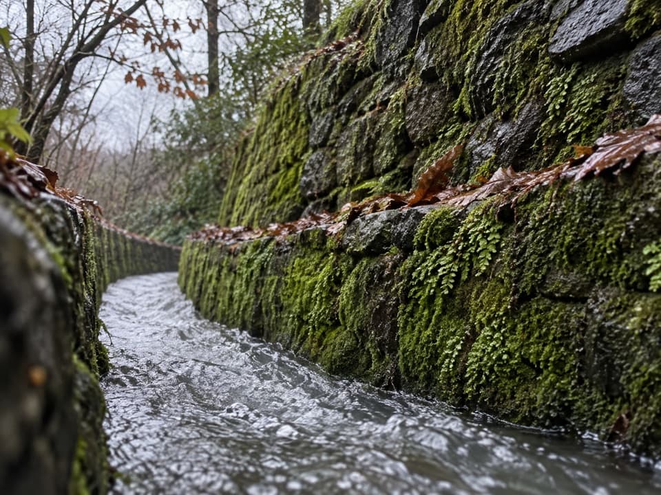 ModerateOak Trail1 mi · 35 min · 0.5 mi awayA short dirt climb from Bathhouse Row into West Mountain’s trails.
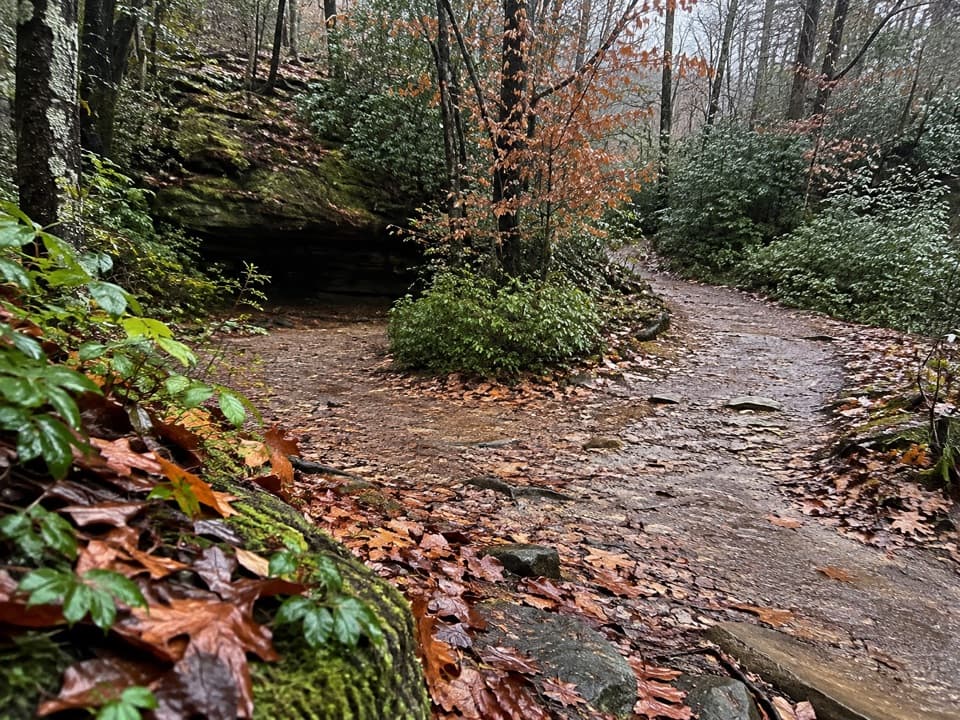 ModerateCanyon Trail0.7 mi · 36 min · 0.5 mi awayA short downtown climb that gets steep on the mountain side.
 ChallengingSunset Trail9.2 mi · 6 hr · 0.6 mi awayA rugged traverse from West Mountain to Gulpha Gorge.
 EasyTufa Terrace Trail0.3 mi · 24 min · 0.6 mi awayA short paved climb to pale tufa beside the thermal cascade
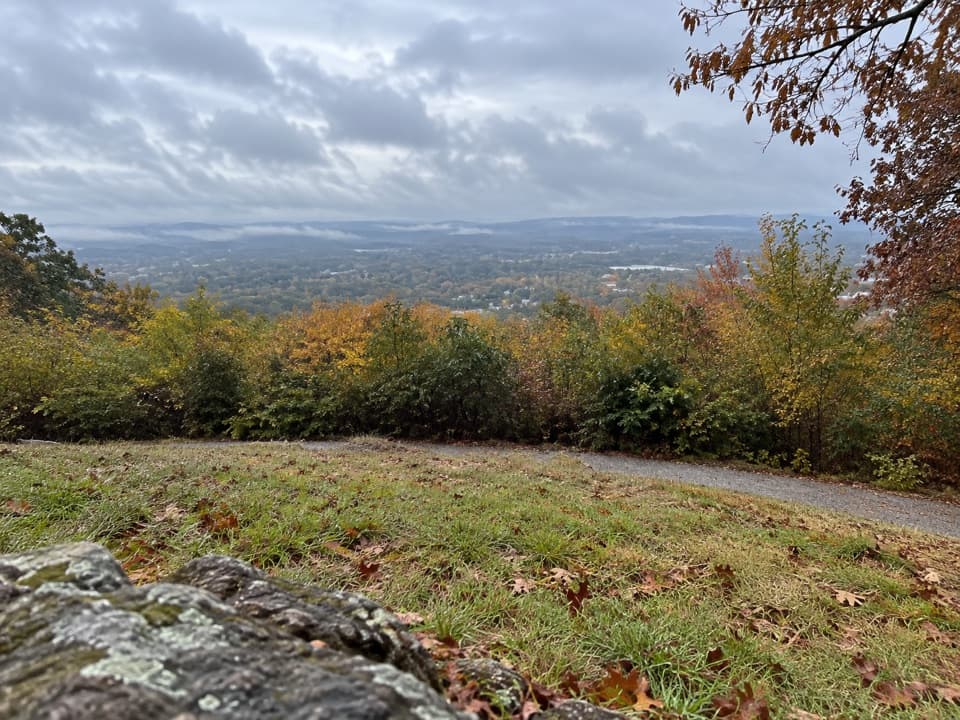 ModeratePeak Trail1.2 mi · 40 min · 0.7 mi awayA 400-foot climb rewards you with summit overlooks and a tower.
 ModerateOertel Trail1.4 mi · 45 min · 0.7 mi awayA steep, bumpy gravel climb links downtown with mountain trails.
 Sight · 0.1 mi awayWhittington Park and CreekA shaded creek walk through Hot Springs' old pleasure ground.
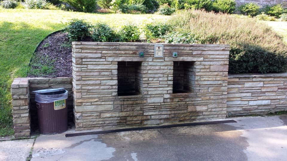 Sight · 0.3 mi awayWhittington Jug FountainFree cold-spring water for bottles and jugs near West Mountain.
 Picnic area · 0.4 mi awayWest Mountain Picnic OverlookA shaded picnic stop with city views and a 1924 stone shelter.
 Sight · 0.4 mi awayWest Mountain Lower OverlookBathhouse Row and downtown open up below the road.
 Restaurant · 0.6 mi awayThe Pancake ShopA 1940 breakfast institution a few steps from Bathhouse Row.
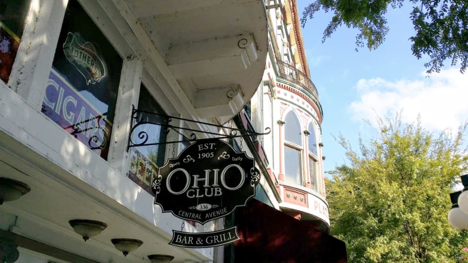
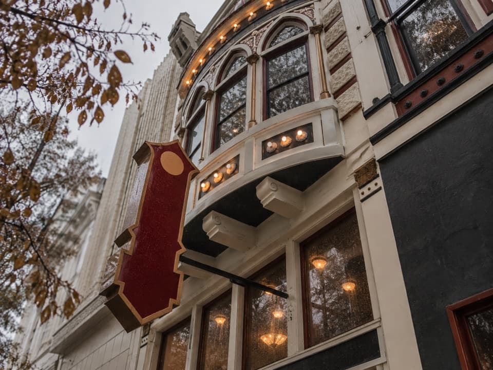 Restaurant · 0.6 mi awayThe Ohio ClubA 1905 bar with live music, a Reuben, and a casino past.
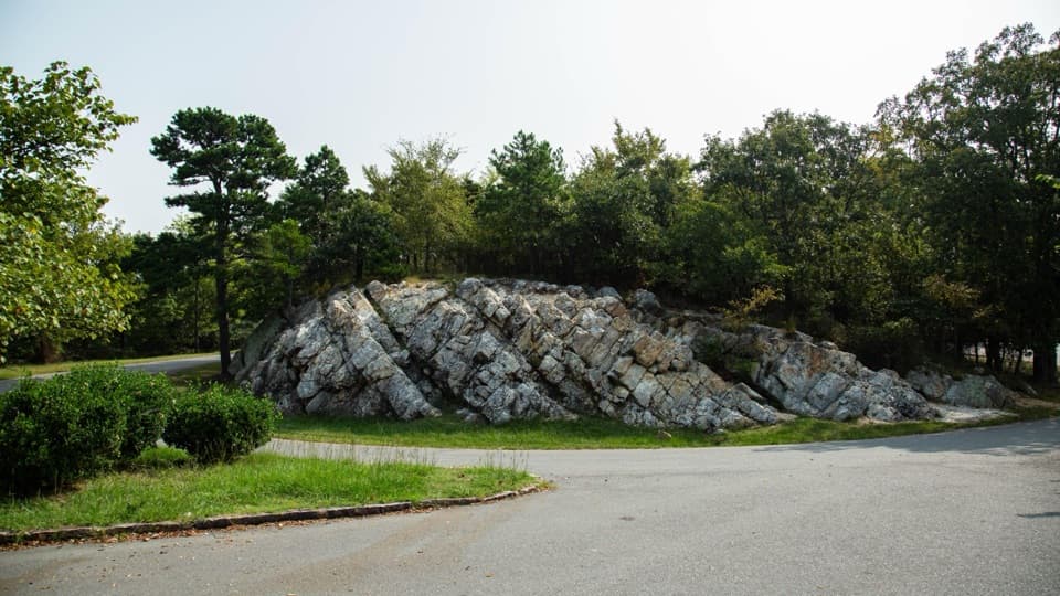 Sight · 0.6 mi awayWest Mountain Loop OverlookA summit vista beside stone once shaped into tools.
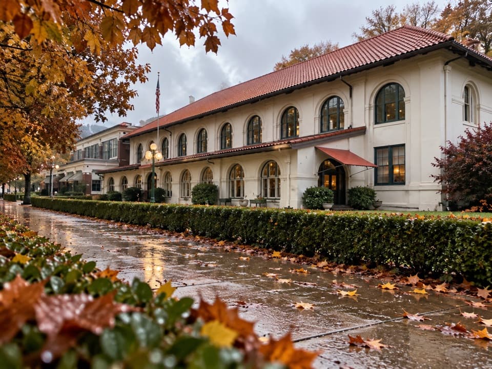 Lodging · 0.6 mi awayHale Bathhouse and Hotel HaleA historic bathhouse where spring water fills your private tub.
Parkwolf’s Hot Springs ranking

The audio tour guide for the drive, plus offline maps, trails, and wildlife heatmaps for when the signal drops.