Rawnsley Bluff in Ikara-Flinders Ranges National Park

Sight · Ikara-Flinders Ranges National Park

Rawnsley Bluff

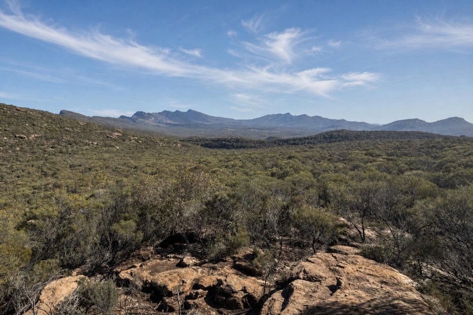
A steep climb to an 1858 survey cairn above Wilpena Pound.

Photo: Wikimedia Commons
Type
Sight
Audio stories
1 nearby
  • Trailhead
  • Parking

Hear the audio tour

Arkaroo Rock Paintings

Overview

About Rawnsley Bluff

Why stop

  • The 1858 cairn and sweeping escarpment views

Heads up

  • A long, steep, rocky walk with a scrambling section

Map

Where it is

Loading the Ikara-Flinders Ranges map
Full map
SightRawnsley Bluff-31.62282, 138.61270
Keep this map with you offline in the Parkwolf app

Plan your stop

Before you go

3 active Ikara-Flinders Ranges alerts

  • ClosureBunyeroo Gorge closed after heavy-rain damageBunyeroo Gorge on Bunyeroo Gorge Road remains closed because recent heavy rains caused damage and repair works are pending.Official details
  • ClosureNightly closures on multiple walking trailsTwelve walking tracks and trails close nightly through 31 October 2026 for pest control operations.Official details
See all 3 alerts
A park ranger sits on a dash-mounted phone, talking, as Parkwolf’s Tour Guide plays “Army Cutworm Moths: A Grizzly Bear Buffet” on Grand Loop Road below Dunraven Pass in Yellowstone
Parkwolf Tour GuideThe highest, rockiest slopes around here are a summer buffet for grizzly bears.

Ikara-Flinders Ranges Tour Guide

Your drive to Rawnsley Bluff, narrated.

Parkwolf is a GPS audio tour guide for Ikara-Flinders Ranges National Park. As you drive, it chimes in with what’s ahead: hidden gems, upcoming stops, history, geology, and wildlife, right through your car’s speakers.

Recorded for this area

Arkaroo Rock Paintings
0:00 / 0:35
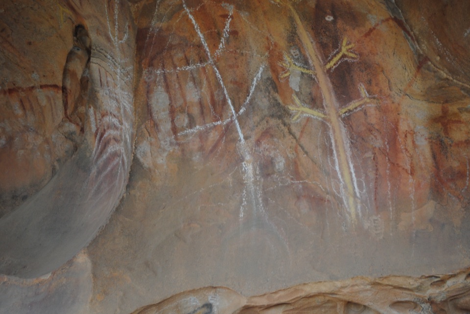
“You're approaching the access for Arkaroo Rock, where a three-kilometre uphill walk leads to an Adnyamathanha rock-art shelter, not a roadside display.”

Plays on the road 3.1 km from Rawnsley Bluff in the Parkwolf Ikara-Flinders Ranges Tour Guide.

More stories near here in the app

  • Life Before the Cambrian
  • A Line Drawn From Drought
  • The Trees That Trace Water
  • Cazneaux's Reversed View
  • 49 audio storiesacross Ikara-Flinders Ranges’s roads, triggered by GPS as you drive
  • Wildlife heatmapsfor Wedge-tailed Eagle, Short-beaked Echidna, Red Kangaroo, and 13 more
  • Works offlinemaps, 21 trails, 43 places, and audio download before you lose signal
  • CarPlay readysimple controls built for the drive
★★★★★
“Fantastic app with many points of information… It’s great to just turn on while you’re driving and it gives you an audio tour of the national Park. We love it!!!!”
JMJamesApp Store review
Download Parkwolf on the App StoreGet Parkwolf on Google Play

4.7 from 8,600+ ratings

Guide

More about Rawnsley Bluff

A hard climb for a big viewRawnsley Bluff is a rocky summit on the southern rim of Wilpena Pound, part of the high rim…

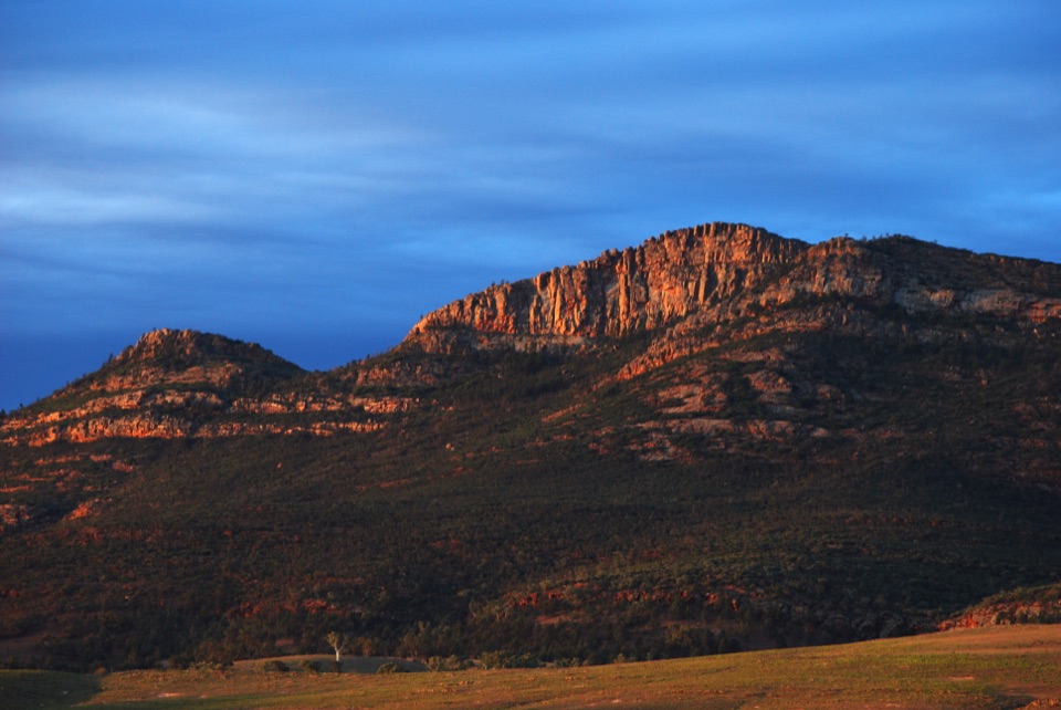
Rawnsley Bluff is a rocky summit on the southern rim of Wilpena Pound, part of the high rim joining the Pound’s eastern and western ranges. Its broad, stepped escarpment rises above the dry open country south of Wilpena. Come for a proper uphill walk and a wide look across the Flinders Ranges; if you want a quick roadside viewpoint, choose another stop.

What the walk feels likeThe walk starts at Rawnsley Bluff Car Park at Rawnsley Park Station, then follows a creek bed…

The walk starts at Rawnsley Bluff Car Park at Rawnsley Park Station, then follows a creek bed into foothills of Bonney Sandstone. It steepens toward Lone Pine Lookout, where views open along the escarpment and toward Elder Range. Beyond the lookout the gradient eases for a while, but there’s still a rough, loose section near the top, and the descent can be slippery. Expect uneven ground; the steepest loose section runs for about 500 metres and includes a short scramble. The route with the Wilpena Pound Lookout spur is listed at about 11 kilometres return and five hours. That spur is a separate viewpoint on the way; keep going to reach Rawnsley Bluff itself.

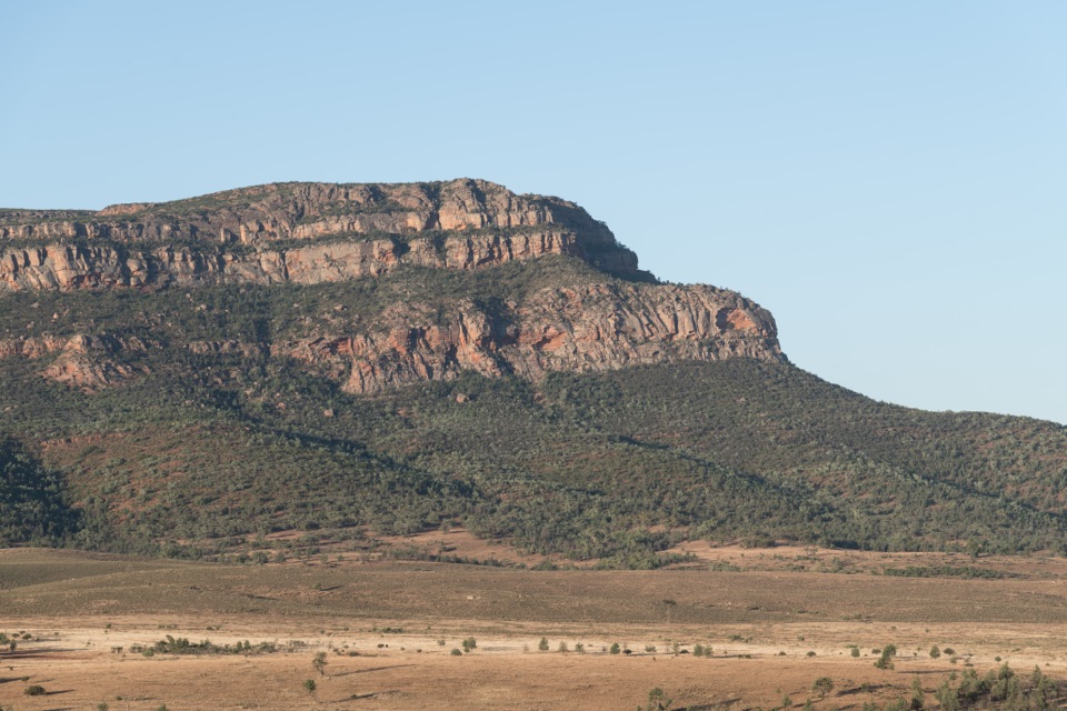
Look for the cairnA dry-stone survey cairn marks the summit area.

A dry-stone survey cairn marks the summit area. Surveyor Samuel Parry built it in 1858 as a trigonometrical marker, a small human detail on an exposed ridge. Nearby, an open sitting area looks toward Chace Range; the Wilpena Pound Lookout spur is where you get the view into the Pound. Frame the cairn with the layered escarpment to capture what makes this summit different from the trailhead view. Toilets and drinking water along the route weren’t verified, so plan those before setting off.

Wildlife

Wildlife in Ikara-Flinders Ranges

All Ikara-Flinders Ranges wildlife maps

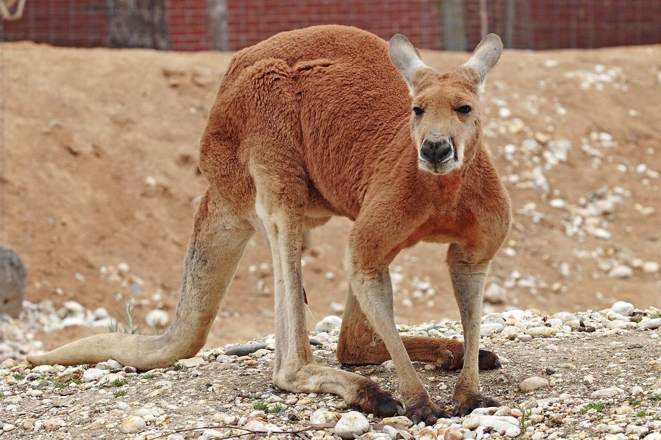
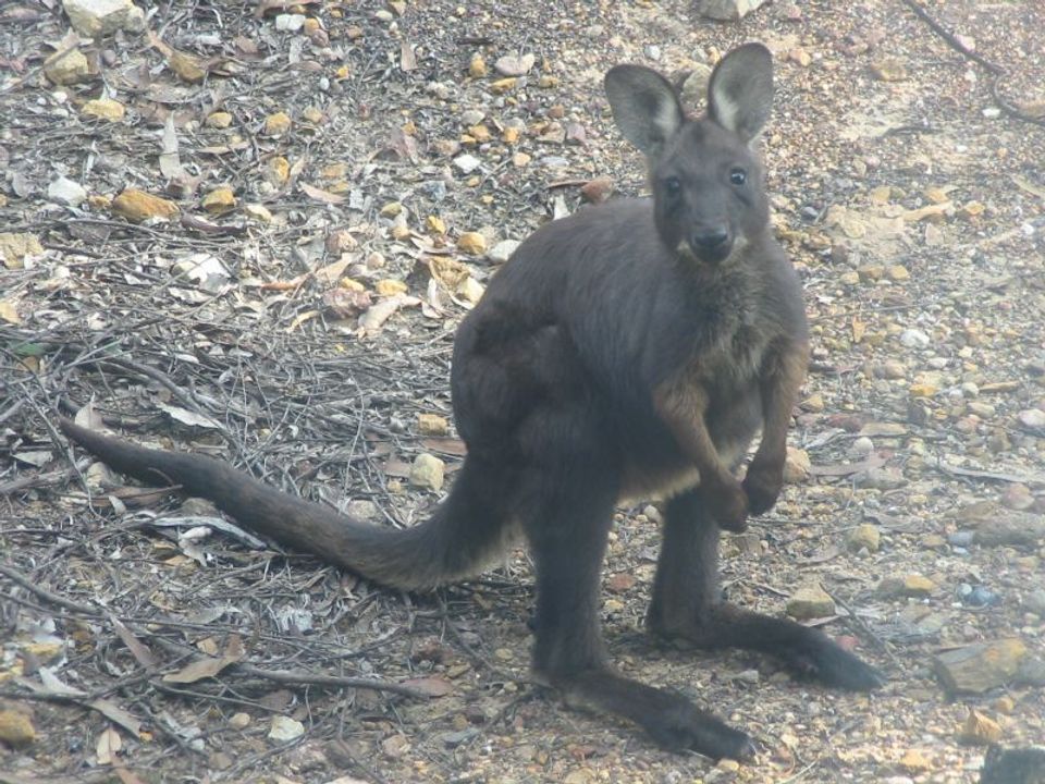
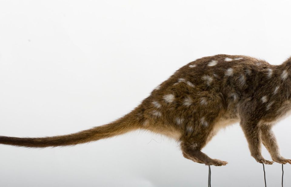
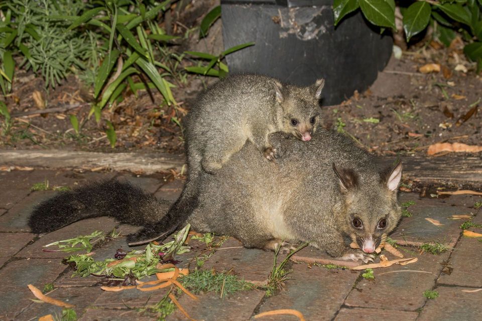
Sighting maps show where each species has been reported across Ikara-Flinders Ranges. Wildlife moves, so no sighting is guaranteed.

Parkwolf’s Ikara-Flinders Ranges ranking

Top sights in Ikara-Flinders Ranges

All 43 places
  1. 1Ikara Wilpena PoundSight
  2. 2Brachina GorgeSight
  3. 3Arkaroo Rock (Akurra Adnya)Sight
  4. 4Bunyeroo GorgeSight
  5. 5Old Wilpena Station Historic PrecinctSight
  6. 6St Mary Peak – Ngarri MudlanhaSight

Take Parkwolf to Ikara-Flinders Ranges.

The audio tour guide for the drive, plus offline maps, trails, and wildlife heatmaps for when the signal drops.

4.7 from 8,600+ ratings

Download Parkwolf on the App StoreGet Parkwolf on Google Play