Pros & cons
PROS
- Highest point on the island
- Right on the Greenstone Ridge Trail
CONS
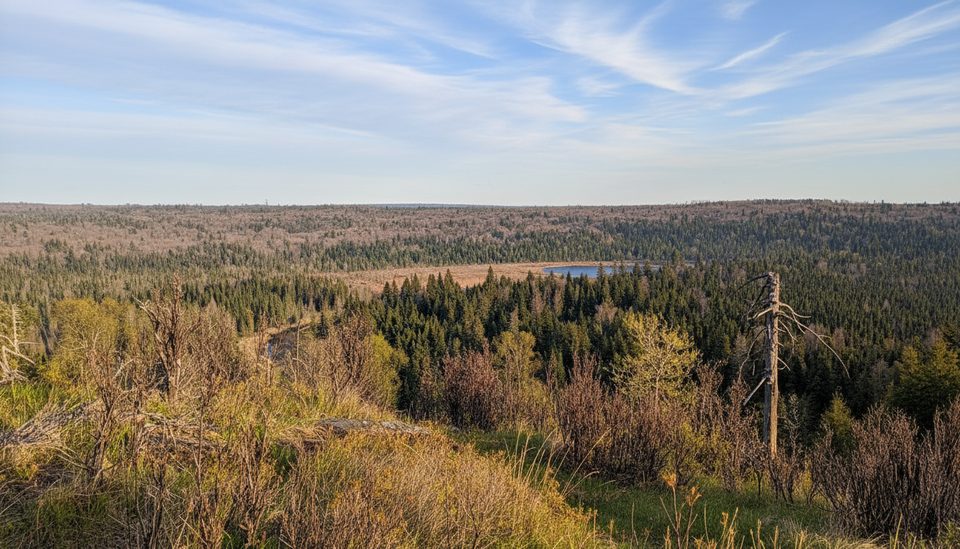
- No panoramic views; summit is fully forested
- Unmarked high point with no water or amenities
Overview
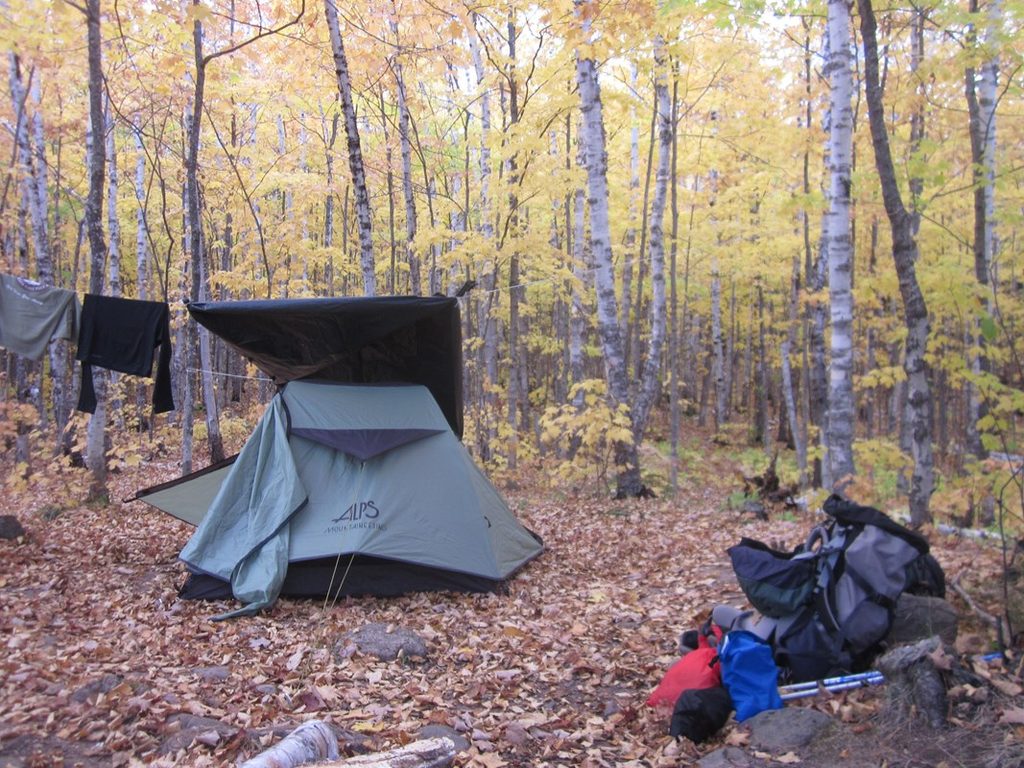
Mount Desor is the island’s high point, a quiet bump on the long Greenstone Ridge where the trail literally crosses the summit. It’s more about the accomplishment and the deep-woods vibe than big views—this crest is cloaked in trees, so don’t expect sweeping panoramas.
What You’ll See
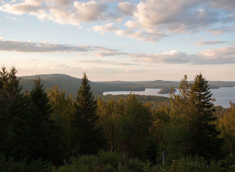
Think mature, mixed forest and a gentle ridge walk. In leaf-off season, hikers sometimes catch brief glimpses toward Siskiwit Bay to the south, but for most of the year the canopy keeps things intimate. The appeal here is the classic Isle Royale interior: maple-rich woods and a serene, remote feel.
Getting There
You’ll reach it via the Greenstone Ridge Trail, which traverses the island. The true high point is subtle and unmarked just off the tread—if you’re intent on tagging the exact spot, bring a map and compass and be comfortable with a short off-trail wander. Water is not available on the summit; plan to tank up and purify at designated campgrounds like the Lake Desor sites. NPS notes that sections on the Minong side can be slow going and short on water, so plan carries accordingly.
Wildlife
This is moose country, though sightings are never guaranteed. The dense forest also supports a variety of birds and small mammals typical of the island’s interior.
Best Time to Visit
- Late September into October can offer rare leaf-off peeks through the trees and fewer bugs.
- Summer is prime for backpacking but bring serious bug protection; mosquitoes can be intense.
- Crowds aren’t really a factor here—this is a backcountry stop, not a viewpoint with parking.
Know Before You Go
- No amenities at the summit: no restroom, no picnic tables, no water, no signage.
- The ridge is broad and flat; it’s easy to stroll past the high point without realizing it.
- Nearby South Lake Desor Campground sits off the Greenstone Ridge Trail on the lake’s south side and is a logical overnight for backpackers.
Where it is
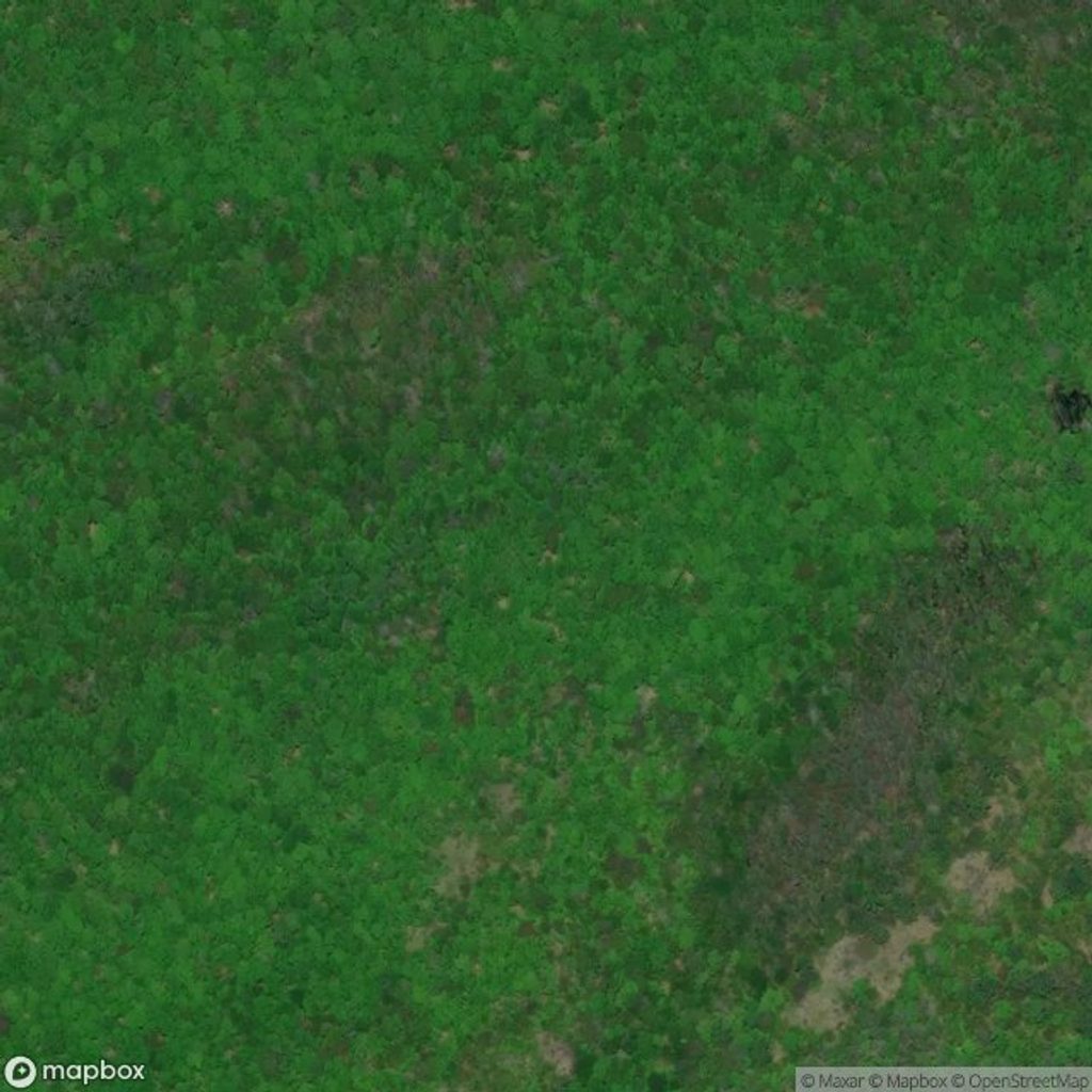
47.9554, -89.0129Tips for Mount Desor
- 01If you want the exact high spot, bring a map and compass and expect brief off-trail navigation.
- 02Carry ample water; there’s none on the ridge—purify at Lake Desor campgrounds.
- 03Expect heavy bugs in summer; a head net can save your sanity.
- 04Visit in leaf-off season for your best chance at limited peek-through views.
Near Mount Desor
All places →All trails →
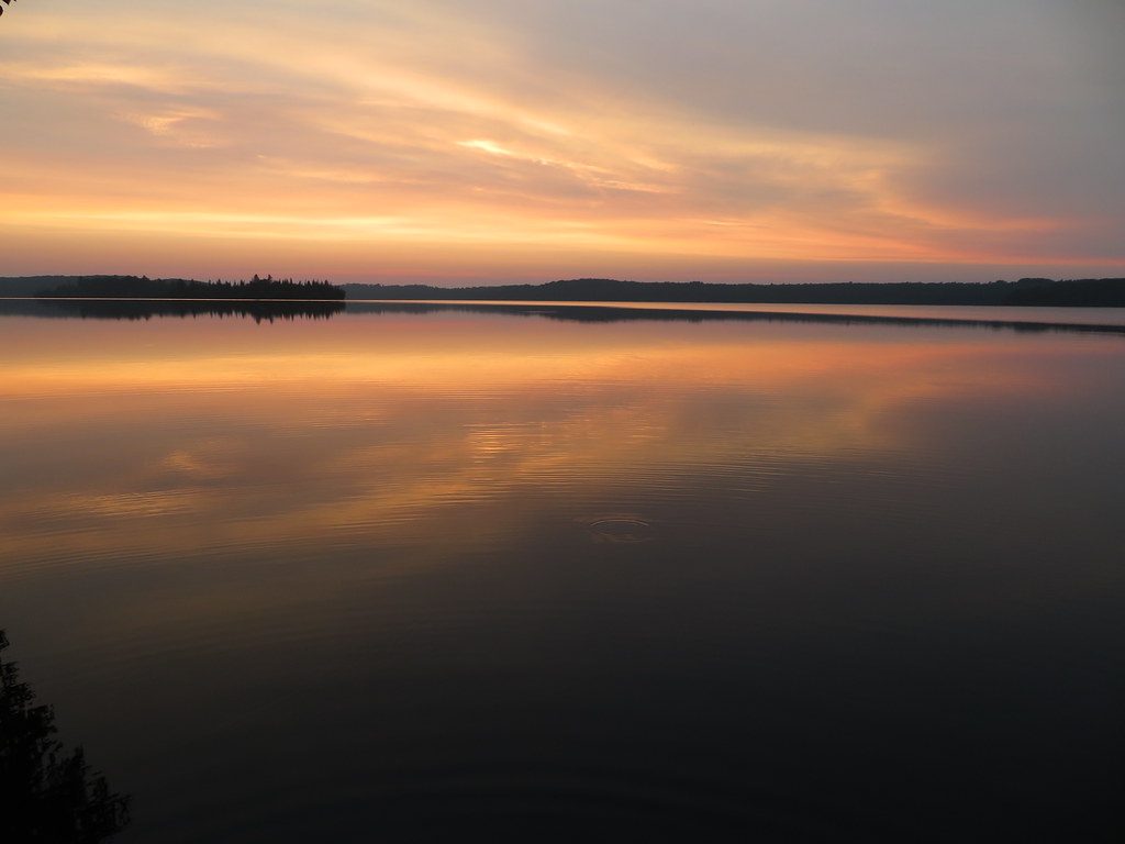
1.9 mi awayLake DesorRemote inland lake with quiet camps and knockout sunsetsRestroom · Campground
2 mi awayNorth Lake Desor CampgroundTiny lakeshore camp and vital water stop on the MinongRestroom · Campground
2.2 mi awaySouth Lake Desor CampgroundRemote Greenstone Ridge stop with moody sunsets over Lake DesorCampground · Restroom
2.2 mi awayIsland Mine CampgroundQuiet, maple-forest backcountry camp with no lake viewsRestroom · Campground
6.8 mi awayGreenstone Ridge TrailRidge traverse crossing Isle Royale from Rock Harbor to WindigoChallenging · 40 mi · 120 hr
6.8 mi awayGrace Creek TrailShort, rocky walk to a sweeping perch above Grace Creek and HarborModerate · 3.6 mi · 3 hr
7.3 mi awayMinong Ridge TrailRemote, rugged ridge traverse with big Lake Superior views.Challenging · 32.1 mi · 48 hr
7.3 mi awayFeldtmann Ridge TrailRemote ridge walk with big Lake Superior views and a climbable fire towerChallenging · 10.3 mi · 8 hr