Parking
No road access or vehicle parking reaches this route. Start on foot at Feldtmann Lake Campground, off the Feldtmann Lake and Feldtmann Ridge Trails; the park lists approaches from Windigo and from Rock Harbor via the Greenstone Ridge Trail.
Isle Royale National Park, MI
Climb to the fire tower, then follow the ridge to Siskiwit Bay.
Overview
Map & elevation
Plan your hike

The highest, rockiest slopes around here are a summer buffet for grizzly bears.
Isle Royale Tour Guide
Parkwolf is a GPS audio tour guide for Isle Royale National Park. As you drive, it chimes in with what’s ahead: hidden gems, upcoming stops, history, geology, and wildlife, right through your car’s speakers.
More stories near here in the app
“Fantastic app with many points of information… It’s great to just turn on while you’re driving and it gives you an audio tour of the national Park. We love it!!!!”


Trail guide
Feldtmann Ridge Trail is a 10.3-mile, one-way hike from Feldtmann Lake Campground to Siskiwit Bay Campground, crossing the ridge in the southwest part of Isle Royale. It climbs steeply to a fire tower about halfway through, then descends toward the bay. The National Park Service describes this as a one-day section of the much longer Feldtmann Loop; it is not the 30.1-mile loop itself. This is a strong choice if you’re already backpacking across the island, but it takes real planning. Walking it back to the start makes a 20.6-mile day, so plan the next leg before setting out.
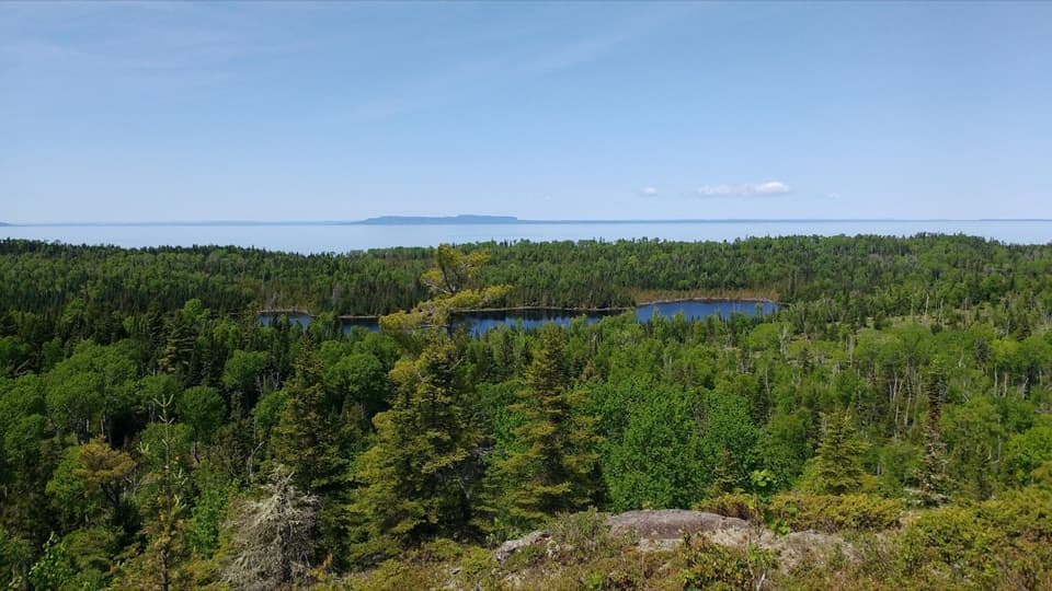
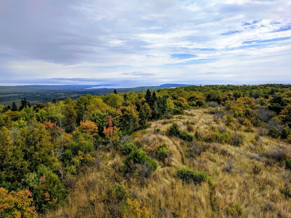
The route begins in patches of forest, then climbs steadily and steeply to Feldtmann Fire Tower. The tread is only about 18 inches wide, with rocks and roots underfoot. The tower is a natural place to stop; remains of the earlier tower stand just beyond it. On a clear day, the ridge opens to views over Feldtmann Lake and Grace Harbor, with Rock of Ages Lighthouse visible in the distance. Frame the tower or a strip of ridge with the lake behind it to show where the climb has brought you.
Past the old tower site, the route follows the ridge before easing downhill toward Siskiwit Bay. This section uses a former logging road, now crowded with dense vegetation and tall grass. Slow down where the grass closes in so you can keep the narrow tread in view. Near the bay, a clearing marks the old logging camp; the Civilian Conservation Corps later used the site after the 1936 fire. The trail ends at Siskiwit Bay Campground, where two shelters and a dock serve hikers and boaters.
There’s no easily accessible water source along the ridge section, so start early with enough water for a full day. The two remote campgrounds have food-storage lockers and non-potable water, but no camp store; bring your food and treat any campground water before drinking it. There’s no road or vehicle parking at either end: reach Feldtmann Lake Campground on foot from the island trail network. The park lists access from Windigo and from Rock Harbor via the Greenstone Ridge Trail. Overnight camping requires a free permit, and pets aren’t allowed anywhere in Isle Royale. The park’s operating season is roughly mid-April through October.
Wildlife
 308 sightingsMooseMost seen around 8 PMSighting map
 93 sightingsWolfMost seen around 8 PMSighting map
 77 sightingsBald EagleMost seen around 5 PMSighting map
 150 sightingsLoonMost seen around 7 AMSighting map
 24 sightingsTrumpeter SwanMost seen around 6 PMSighting map
 71 sightingsBeaverMost seen around 8 PMSighting map
Sighting maps show where each species has been reported across Isle Royale. Wildlife moves, so no sighting is guaranteed.
Keep exploring
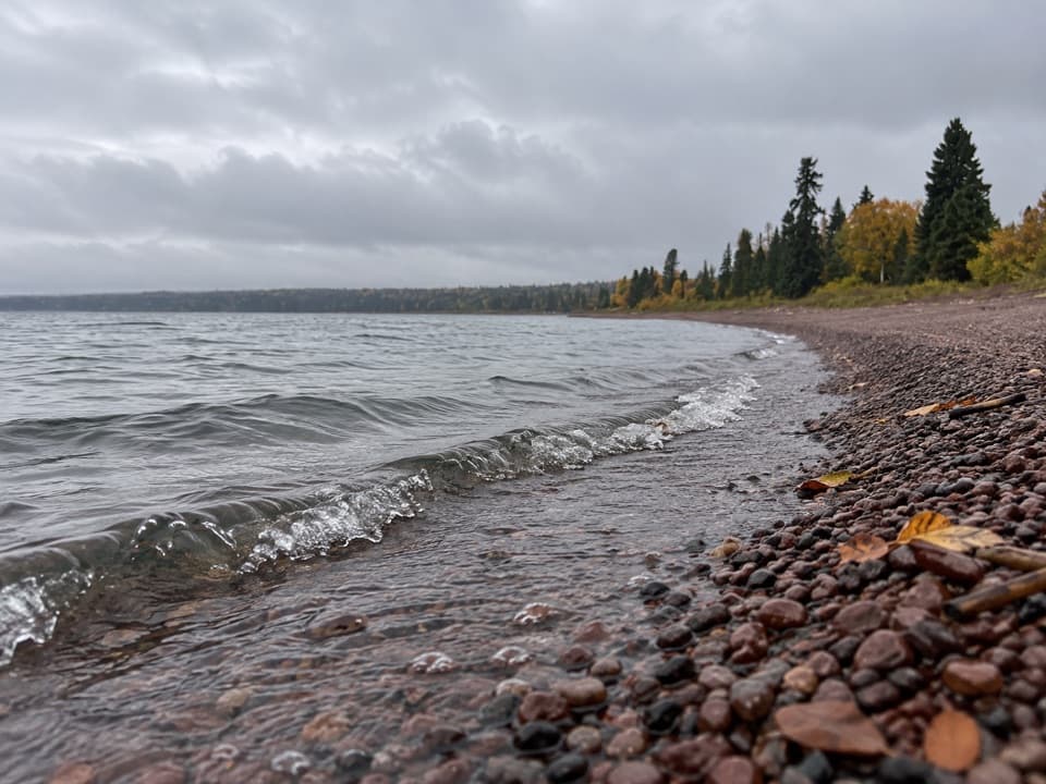 EasyRainbow Cove Trail1.6 mi · 48 min · At the trailheadA rocky Lake Superior cove, reached from the Feldtmann Lake camp.
 EasyWashington Creek Trail2.8 mi · 1.5 hr · 4.3 mi awayHarbor views lead to a wooded creek and its narrow bridge.
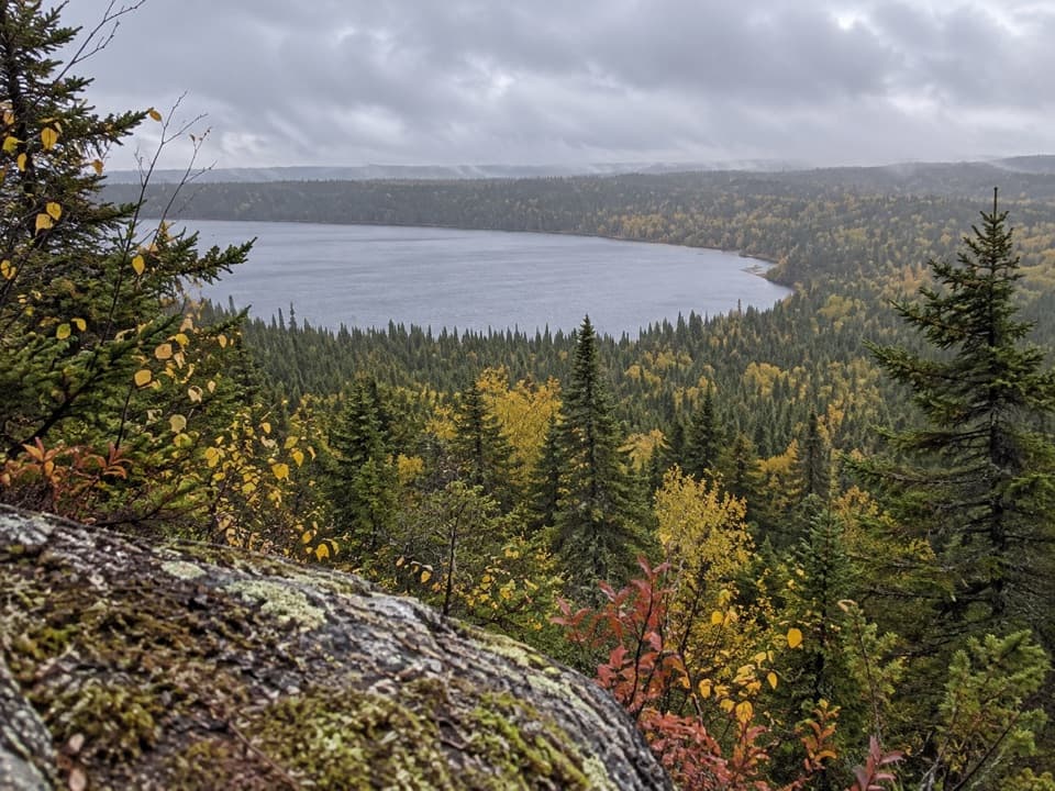 ChallengingFeldtmann Loop30.1 mi · 1.3 days · 4.5 mi awayFour to five days of ridge, shore, and old mine history.
 ModerateGrace Creek Overlook Trail3.6 mi · 3 hr · 4.5 mi awayA rocky ridge above Grace Harbor, reached by a wooded shoreline hike.
 ModerateFeldtmann Lake Trail8.5 mi · 6 hr · 4.5 mi awayAn 8.5-mile traverse from Windigo to Feldtmann Lake.
 ChallengingHuginnin Cove Loop9.4 mi · 6 hr · 4.6 mi awayRugged Windigo loop to a Lake Superior cove and old mine remains.
 EasyWindigo Nature Trail1.2 mi · 1.5 hr · 4.6 mi awayFerns, cedar lowlands, and maple-birch woods on a short loop.
 ChallengingGreenstone Ridge Trail40 mi · 1.7 days · 5.1 mi awayA remote, one-way ridge crossing through Isle Royale's forested interior.
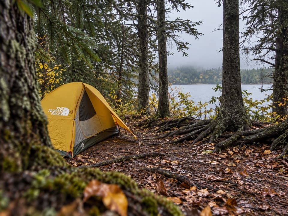 Campground · 0.1 mi awayFeldtmann Lake CampgroundA lakeside camp with a 0.8-mile side hike to Rainbow Cove.
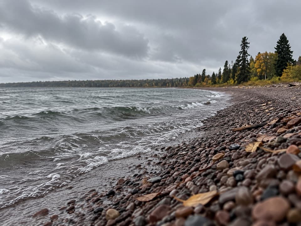 Beach · 0.6 mi awayRainbow CoveA rocky cove with a clear-day view toward Minnesota.
 Campground · 2.9 mi awayGrace Island CampgroundTwo shelters and a shallow dock, just outside Washington Harbor.
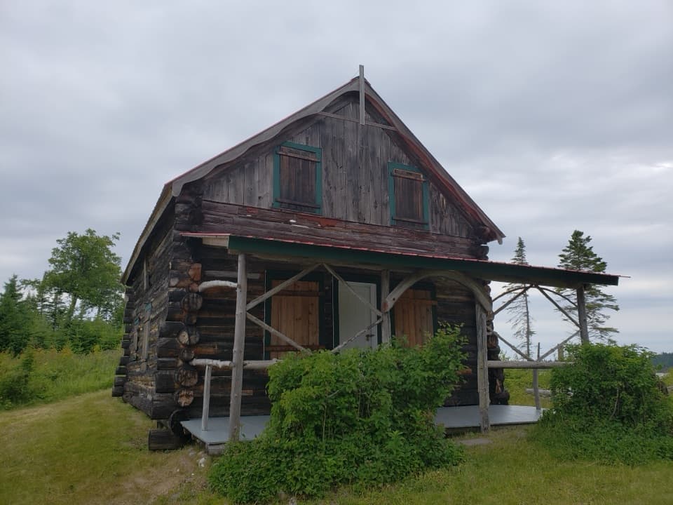 Sight · 3.2 mi awayJohns HotelA surviving 1892 log hotel from the island’s resort era.
 Sight · 3.2 mi awayGrace Creek OverlookA rocky spur leads to a ledge above Grace Creek.
 Sight · 3.7 mi awaySS America WreckA storied Lake Superior wreck for experienced cold-water divers.
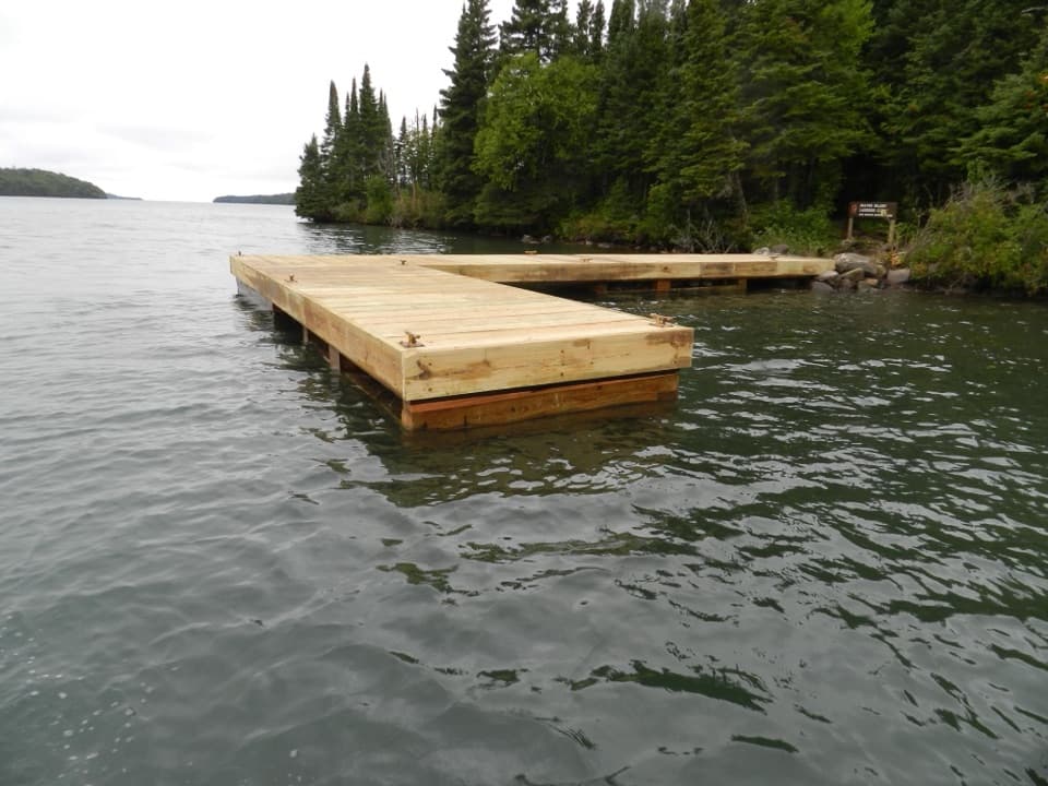 Campground · 3.9 mi awayBeaver Island CampgroundThree water-facing shelters make this a small harbor base.
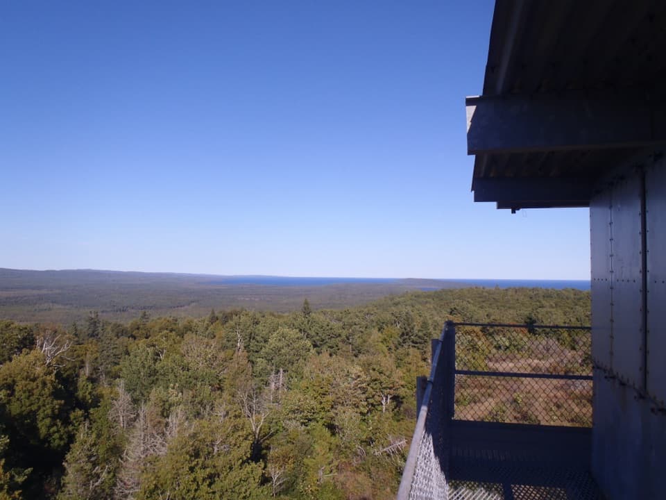 Sight · 4.3 mi awayFeldtmann TowerA former lookout tower with a 360-degree west-end view.
Parkwolf’s Isle Royale ranking

The audio tour guide for the drive, plus offline maps, trails, and wildlife heatmaps for when the signal drops.