Challenging

Minong Ridge Trail

Remote, rugged ridge traverse with big Lake Superior views.
Minong Ridge Trail, Isle Royale National Park
Distance32.1 mi
Typical time48 hr
DifficultyChallenging
PetsNot allowed

Overview

The Minong Ridge Trail is Isle Royale’s wild north-side traverse—a primitive, point‑to‑point route linking McCargoe Cove and Windigo across roughly 32.1 miles one way. Expect a strenuous, minimally marked path over ancient volcanic bedrock with frequent, steep ups and downs. This is the park’s most challenging backpacking route and it feels every bit of it: rocky footing, exposed ridge walking, and long, committing stretches.

What You’ll See

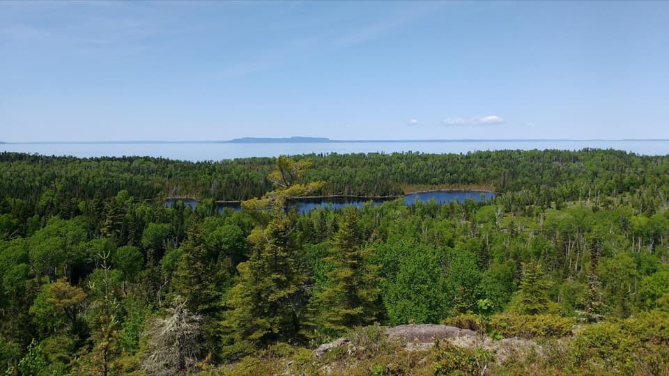
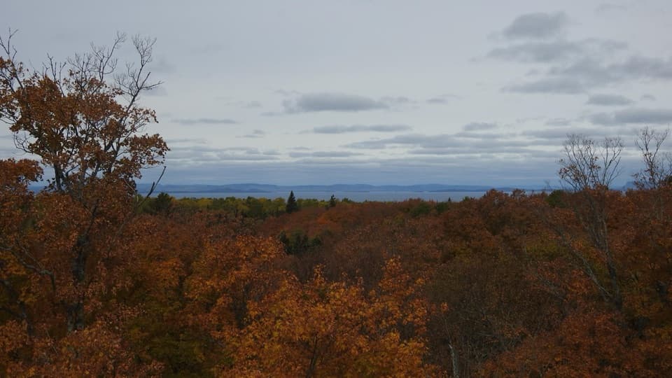
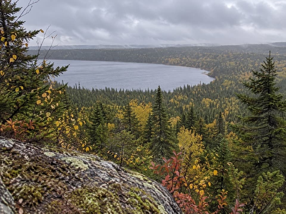
Once you gain the ridge, the payoff is immediate: sweeping vistas of Lake Superior, glimpses of the Canadian shore to the north, and big views over the island’s interior lakes and forests. The geology steals the show—glacially scoured bedrock, rugged outcrops, and dramatic, open ridge crests. A uniquely Isle Royale feature awaits on the western end: walking across a series of beaver dams as part of the official route. Wildlife encounters are possible in this remote country—moose sign is common, beaver ponds are frequent, and the solitude is real.

Route Notes

Most hikers travel between McCargoe Cove and Windigo, using campgrounds like Todd Harbor, Little Todd Harbor, North Lake Desor, and Washington Creek to break up the days. The Little Todd Harbor to North Lake Desor section delivers long stretches on open bedrock with cairn‑to‑cairn navigation. From North Lake Desor to Windigo, the trail is the longest single leg and notoriously water‑scarce along the tread. It’s also where the beaver‑dam traverses begin—slow, careful footwork required.

Difficulty and Pace

Plan on 4–5 days for the full traverse. Progress is slower than your mileage might suggest due to constant elevation changes, uneven footing, sparse markers in places, and the careful balance work on beaver dams. Navigation skills matter—bring a real map and compass and know how to use them, especially if weather reduces visibility.

Water, Camping, and Logistics

There are no potable sources on trail; filter or purify everything. Critically, fill up at Lake Desor before committing west toward Windigo—there are no accessible water sources along that section. All camping is at designated backcountry sites and is first‑come, first‑served; popular sites can fill in peak season. Getting to either end requires the island’s ferries or seaplanes; there’s no on‑island road access.

History and Character

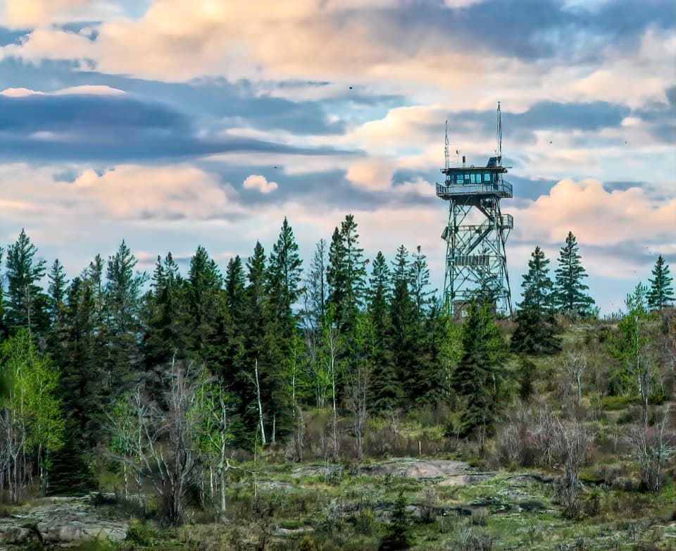
Originally cut as a fire manway in the 1960s, the Minong has been intentionally kept primitive. Don’t expect frequent signs or smooth tread—its rugged feel is the point. Sturdy boots and trekking poles shine on slick bedrock and dam crossings.

Best Time to Hike

Late spring through early fall (June–September) lines up with access and the most stable conditions. Even then, Lake Superior can flip the weather switch—pack for wind, rain, and big temperature swings. Start days early for cooler temps and better light on the ridge; you’ll also have more time to negotiate tricky sections without rushing.

Is It For You?

If you want a remote, committing ridge walk with huge lake views and a real sense of wilderness, this is the Isle Royale classic. If you’re new to backpacking, the primitive nature, long water carries, and navigation demands make this a tough first outing.

Pros

  • Distinctive beaver‑dam crossings that are part of the official route
  • Long, open bedrock ridges with expansive Lake Superior panoramas

Cons

  • No accessible water along the North Desor to Windigo section
  • Sparse markers and cairn‑to‑cairn navigation can slow travel
  • First‑come camps can fill during peak season

Parking

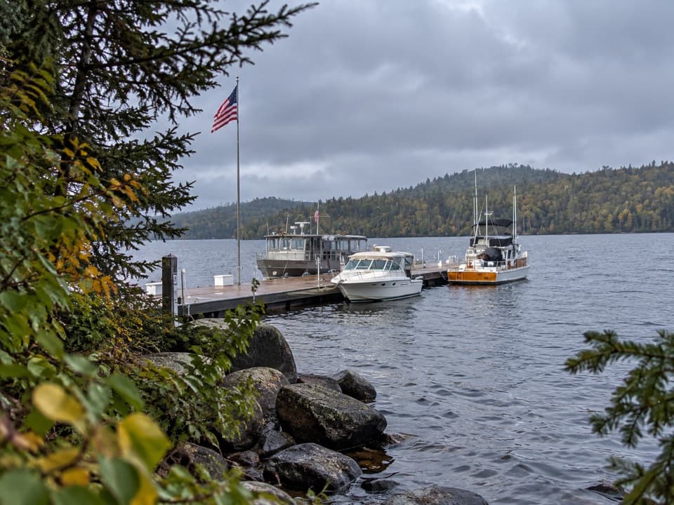
No on‑island parking. Access the trail via ferry or seaplane to Windigo or McCargoe Cove, then start from those docks.

Caution

Rugged, minimally marked terrain with steep, rocky ridge walking; mandatory beaver‑dam crossings; long waterless stretch between North Lake Desor and Windigo; rapid weather changes.

The Parkwolf tour guide sitting on a phone mounted in a car

Parkwolf Tour Guide

Like a tour guide in your car.

Bring Isle Royale trail research into the car, with offline maps and stories that play as you drive.Download Parkwolf on the App Store