Parking
There is no road or vehicle access. Reach Windigo by passenger ferry, seaplane or private boat, then arrange a separate private-boat or water-taxi pickup at Hidden Lake. Neither endpoint is a drive-up trailhead.

#2 of 39 trails in Isle Royale
Isle Royale National Park, MI
A remote, one-way ridge crossing through Isle Royale's forested interior.
Overview
Map & elevation
Plan your hike

The highest, rockiest slopes around here are a summer buffet for grizzly bears.
Isle Royale Tour Guide
Parkwolf is a GPS audio tour guide for Isle Royale National Park. As you drive, it chimes in with what’s ahead: hidden gems, upcoming stops, history, geology, and wildlife, right through your car’s speakers.
Recorded for this area
Minong Ridge Overlook from Windigo“Coming up is the Windigo trail access for Minong Ridge Overlook. For a rugged half-day hike, it's six miles out and back, taking roughly four hours over rocks, roots and creek crossings.”
Plays on the road 0.3 mi from the trailhead in the Parkwolf Isle Royale Tour Guide.
More stories near here in the app
“Fantastic app with many points of information… It’s great to just turn on while you’re driving and it gives you an audio tour of the national Park. We love it!!!!”


Trail guide
Greenstone Ridge Trail is Isle Royale's named, one-way backcountry traverse. The mapped route is about 40.0 miles from the Greenstone junction near Windigo to Hidden Lake on the island's east end, crossing the wooded ridge instead of looping back. The National Park Service describes the full backpacking itinerary as over 40 miles; campground approaches and the extra walk toward Lookout Louise explain why published totals differ. This is a multi-day trip, not a day hike: allow roughly 40 hours of walking before camp setup, rest days or boat schedules. Plan the exit first. Windigo has island transport, while Hidden Lake is boat-access only, so these endpoints do not connect by road.
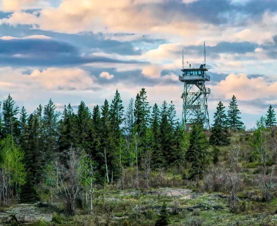
Heading east from Windigo, the route reaches Island Mine, crosses the high ridge by Mount Desor and South Desor, passes the Ishpeming Tower and the Hatchet and Chickenbone lake country, then continues by Ojibway Tower and Mount Franklin toward Hidden Lake. Use the park's campground map to divide those legs into days that fit your pace and water plan; the ridge's long sections are tiring even without a heavy pack. Backcountry camping requires a permit, and groups of seven or more need advance reservations. Arrange island arrival and departure separately, and confirm boat connections before committing to a point-to-point itinerary.
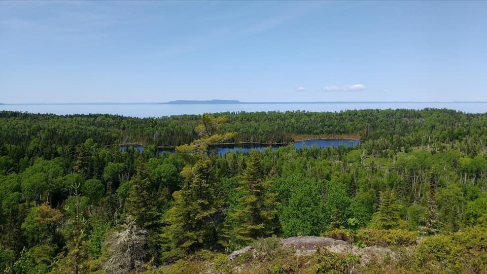
The trail alternates between dense forest, more open ridge stretches and occasional views over the island's interior wetlands and Lake Superior. Ojibway Tower is a memorable viewpoint along the eastern half; the route also passes the old Ishpeming fire tower. Mount Desor is Isle Royale's highest point, but its wooded summit can be hard to pick out and does not open into a broad summit panorama. The route's appeal is the changing island landscape and long-distance crossing, with viewpoints appearing between stretches under trees rather than continuously.
The Lookout Louise–Mount Franklin section is a distinct, roughly five-mile one-way leg at the northeast end. The trail there is rocky and rooted, and the Park Service warns that navigation can be difficult on this less-traveled stretch. Lookout Louise itself is reached by a further one-mile walk from the Hidden Lake access. That makes a shorter visit possible, but even this option needs a boat to Hidden Lake and careful return planning; it is not a roadside day hike. Carry a detailed map and compass and know how to use both.
Potable water is limited to developed areas such as Windigo and Rock Harbor; expect to treat water gathered from interior sources and do not count on a ridge tap. The park recommends carrying at least two quarts per person and refilling when safe sources are available. Rooted, rocky footing and stretches that are hard to follow make slow progress likely, especially when brush hides the tread. Mosquitoes and black flies are most persistent in early summer and can linger into August. Pets are prohibited on Isle Royale trails.
If you want a section instead of the crossing, the Lookout Louise–Mount Franklin leg is about five miles one way, with the separate one-mile walk between Hidden Lake and Lookout Louise. You still need boat access and a plan to return to the landing. For a different partial itinerary, the park's section map helps match campgrounds, route length and available transport without treating the whole ridge as a loop.
Wildlife
 308 sightingsMooseMost seen around 8 PMSighting map
 93 sightingsWolfMost seen around 8 PMSighting map
 77 sightingsBald EagleMost seen around 5 PMSighting map
 150 sightingsLoonMost seen around 7 AMSighting map
 24 sightingsTrumpeter SwanMost seen around 6 PMSighting map
 71 sightingsBeaverMost seen around 8 PMSighting map
Sighting maps show where each species has been reported across Isle Royale. Wildlife moves, so no sighting is guaranteed.
Keep exploring
 ModerateWest Huginnin Cove Trail6.2 mi · 4 hr · 0.2 mi awayA ridge walk to a rocky cove on Lake Superior.
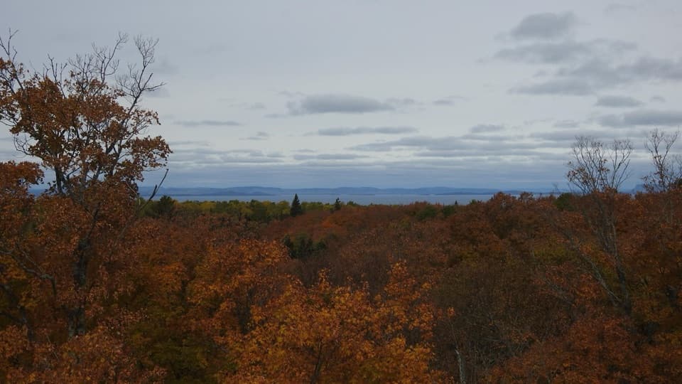 ChallengingMinong Ridge Overlook Trail6 mi · 4 hr · 0.3 mi awayA rocky ridge opens onto Pie Island and the Canadian shore.
 ChallengingHuginnin Cove Loop9.4 mi · 6 hr · 0.6 mi awayRugged Windigo loop to a Lake Superior cove and old mine remains.
 EasyWindigo Nature Trail1.2 mi · 1.5 hr · 0.6 mi awayFerns, cedar lowlands, and maple-birch woods on a short loop.
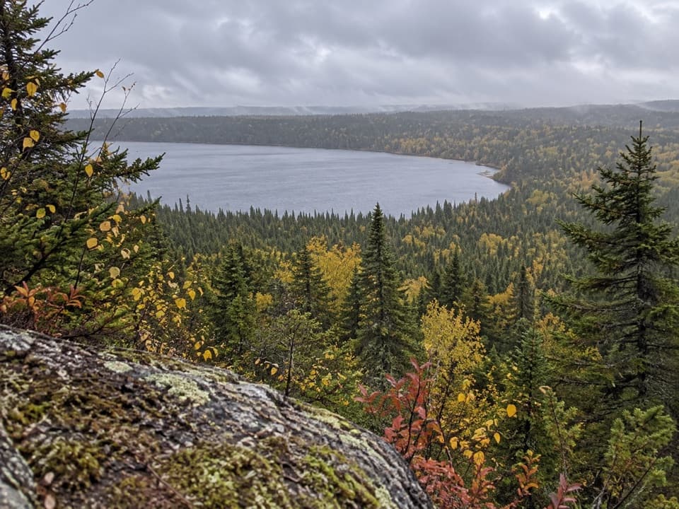 ChallengingFeldtmann Loop30.1 mi · 1.3 days · 0.6 mi awayFour to five days of ridge, shore, and old mine history.
 ModerateGrace Creek Overlook Trail3.6 mi · 3 hr · 0.6 mi awayA rocky ridge above Grace Harbor, reached by a wooded shoreline hike.
 ModerateFeldtmann Lake Trail8.5 mi · 6 hr · 0.6 mi awayAn 8.5-mile traverse from Windigo to Feldtmann Lake.ModerateEast Huginnin Cove Trail3.3 mi · 2.5 hr · 0.8 mi awayMine ruins, rocky bluffs, and a cove at Lake Superior’s edge.
 Campground · 0.3 mi awayWashington Creek CampgroundCreekside shelters, with moose sometimes feeding nearby.
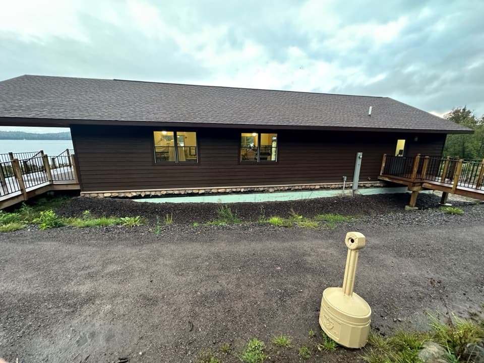 Store · 0.5 mi awayWashington Harbor StoreA handy Windigo resupply stop for groceries and camp basics.
 Restroom · 0.5 mi awayWindigo Comfort StationA practical Windigo stop for showers and laundry.
 Visitor center · 0.6 mi awayWindigo Visitor CenterA Rock of Ages lighthouse lens is on display inside.
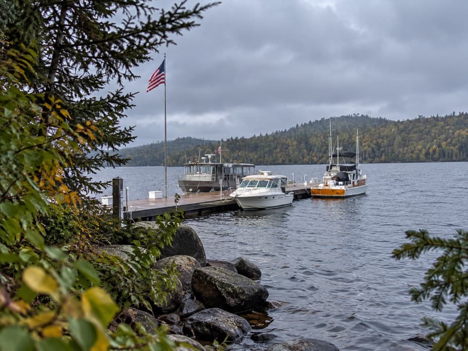 Sight · 0.6 mi awayWindigo MarinaA practical west-end landing for boaters and ferry arrivals.
 Lodging · 0.6 mi awayWindigo Camper CabinsTwo rustic island cabins, a short walk uphill from the dock.
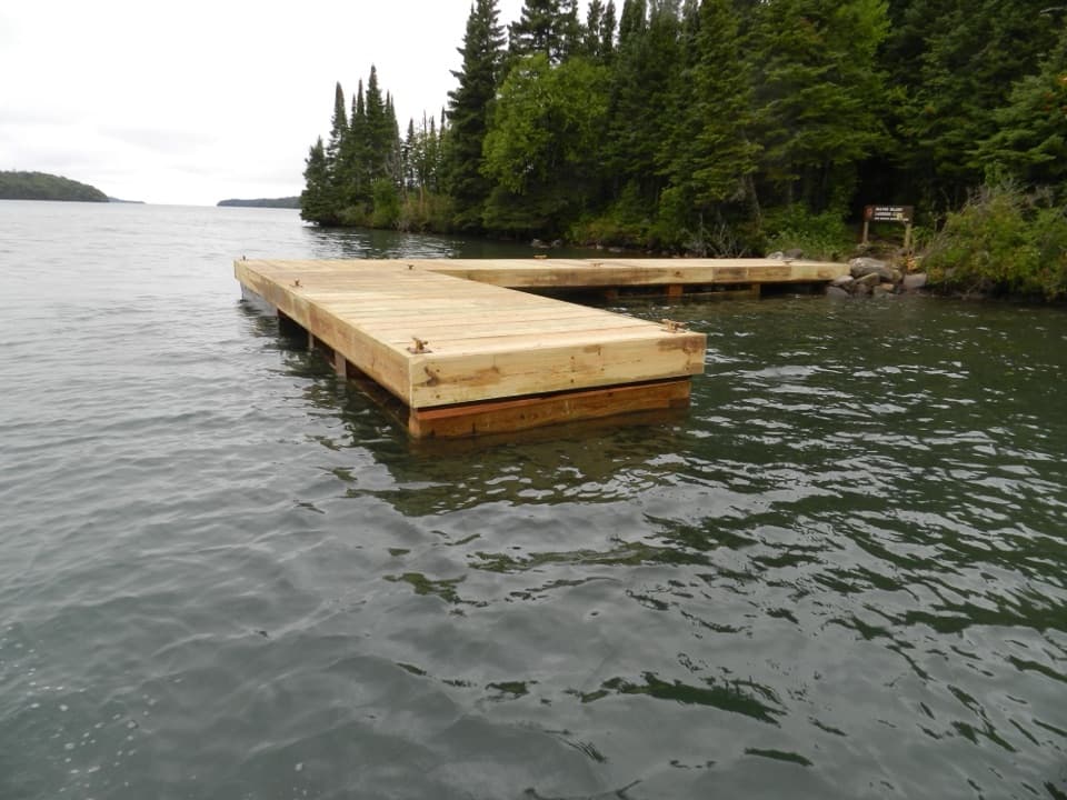 Campground · 1.5 mi awayBeaver Island CampgroundThree water-facing shelters make this a small harbor base.Campground · 1.7 mi awayHuginnin Cove CampgroundFive tent sites on Lake Superior, reached by foot or paddle.
Parkwolf’s Isle Royale ranking

The audio tour guide for the drive, plus offline maps, trails, and wildlife heatmaps for when the signal drops.