
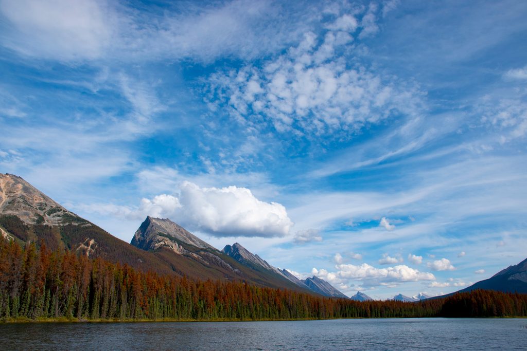
Place · 2.6 mi away
Moderate
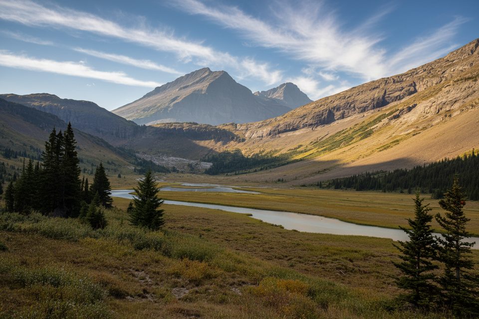
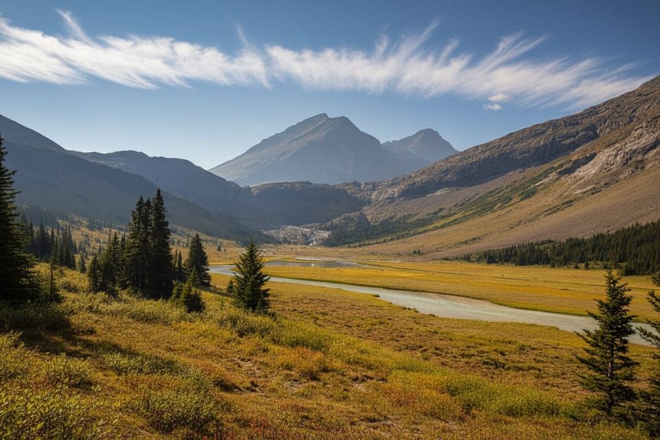
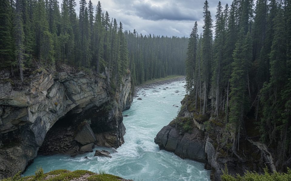
This is Jasper’s quieter south-end corridor, starting off the Icefields Parkway near the Maligne Pass junction and following Poboktan Creek up a broad glacial valley. Expect a true backcountry feel with big-mountain views, creekside walking, and far fewer people than Jasper’s headliners. The maintained corridor continues toward Poboktan Pass and connects into Jonas Pass and the Brazeau country.
If you’re day hiking, many turn around at early highlights along the creek or push to the Big Bend area. As a fuller objective, the route is roughly 10.6 miles (17 km) one way to the Jonas cutoff, and it’s commonly used as the approach for multi-day trips (including segments of the Brazeau Loop). Trails in this corridor are generally well maintained and major streams are bridged, but signage can be sparse—bring a map or GPS and plan conservative times.
Scenery shifts from forested creekside to expansive views of rugged ridgelines (including the Endless Chain) with classic Rockies geology: sedimentary layers, red and grey rock, scree, and glacially carved terrain. Higher up you’ll catch glimpses of neighboring glaciers and the kind of wild, empty country climbers have used for generations.
Camping is strictly at designated backcountry sites and requires a Parks Canada permit and reservations; random camping isn’t allowed. Expect popular backcountry camps like Jonas Creek along the broader corridor to book up—reserve early. Check with the park for current advisories, especially after storms or high water.
Best time to hike: Late June through September offers the safest window. Earlier or later, lingering snow and cold snaps make travel slower, and spring melt can spike creeks. For backpackers chasing views, shoulder light on clear mornings over the passes is worth the early start.
Bottom line: If you want solitude, a well-built path into big country, and the option to stitch together a classic multi-day, this is a strong pick. If you want quick payoff on a perfectly signed track, you’ll be happier on more popular Jasper trails.
Park at the Poboktan Creek trailhead off the Icefields Parkway near the closed Poboktan Campground loops and the Maligne Pass Trail junction.
Remote bear country with minimal signage; carry bear spray, check current bridge and washout status, and expect snow or high, cold creek levels outside late June–September.
Place · 2.6 mi away
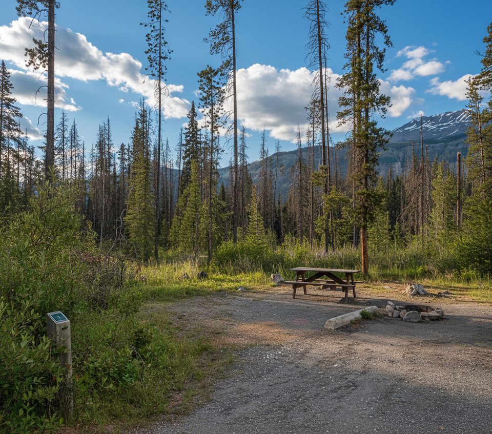
Place · 2.9 mi away
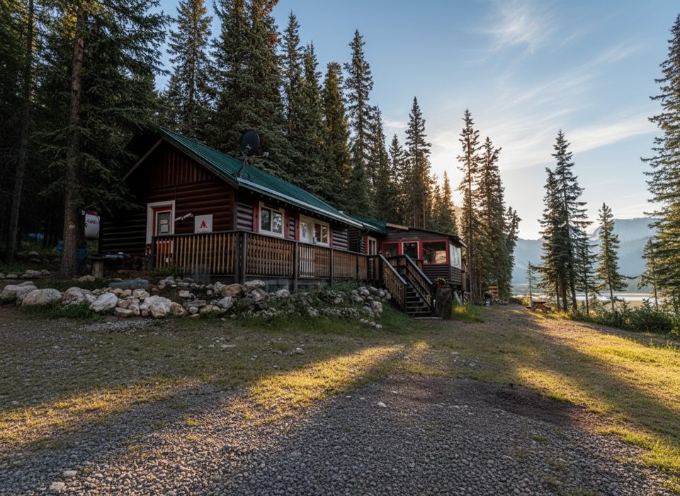
Place · 8.5 mi away
Place · 10.1 mi away
Challenging · 0 mi away
Easy · 10.3 mi away
Easy · 10.3 mi away
Easy · 10.3 mi away

Parkwolf Tour Guide
