
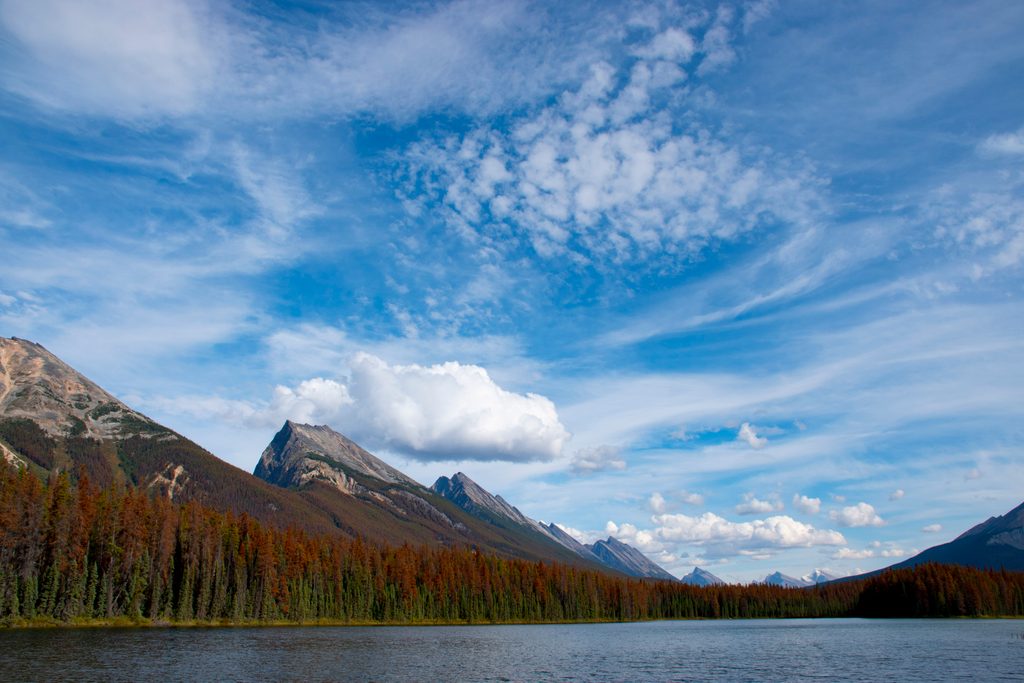
Place · 2.6 mi away
Challenging
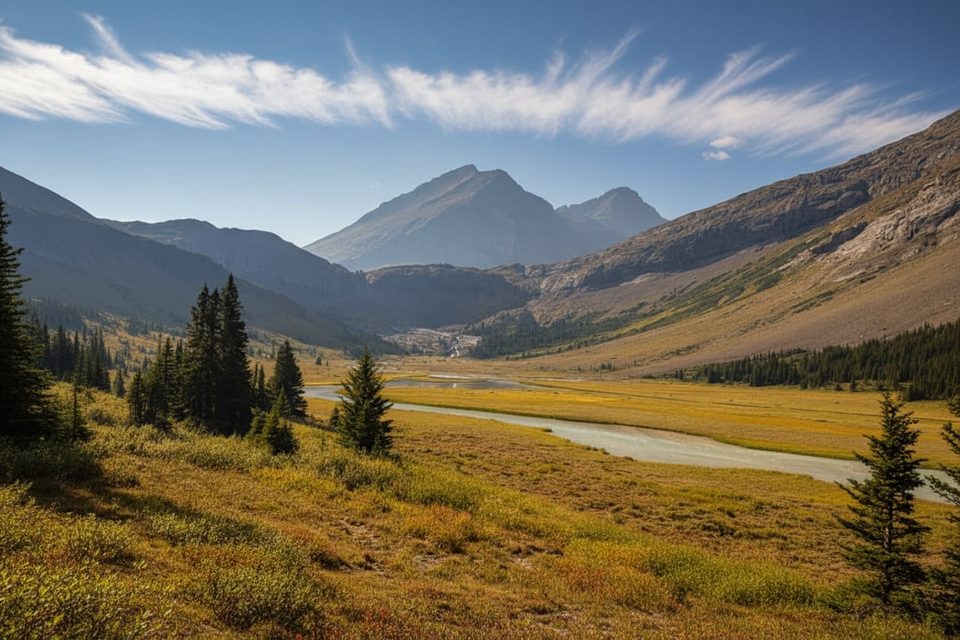
This is a true backcountry classic in southern Jasper: a long, steady climb up the Poboktan Creek valley to the wide-open alpine of Poboktan Pass. Plan for about 16.2 miles/26 km one way to the pass (most hikers do this as a multi‑day out‑and‑back or as part of the Brazeau Loop). Expect significant but mostly gradual elevation gain (roughly 750–900 m) and a remote feel throughout.
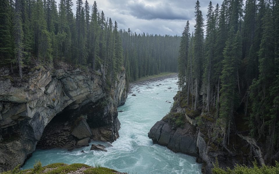
What you’ll see: big‑country valley scenery framed by rugged peaks (including the Endless Chain Ridge), long runs beside Poboktan Creek, and broad meadows that erupt with wildflowers from late June through August. Wildlife sightings are a real possibility—caribou, elk, mountain goats, and both black and grizzly bears are reported in the corridor. As you near the pass, the terrain opens to sweeping views toward the Brazeau country and distant ice.
Trail character: the tread is well‑defined and generally well‑maintained, with bridges over major creek crossings. That said, early season can mean mud, boggy patches, or lingering snow that hides the path—look for cairns over the pass if snow covers the tread. This route also serves as a segment of the Great Divide Trail between the Maligne Pass and Jonas Pass junctions, and it’s notably quieter than Jasper’s front‑country favorites.
Logistics: start from the Poboktan Creek trailhead off the Icefields Parkway (Highway 93). Designated backcountry campsites dot the corridor (e.g., Poboktan Creek, Waterfalls, Jonas Cutoff); you’ll need reservations and a Parks Canada backcountry permit for overnights. Check current conditions before you go—bridges can be out early season, and weather shifts quickly.
Tips and tradeoffs: the distance is the crux—this is a big day one way (strong hikers report 10–12 hours), so most people plan 2–3 days. Carry bear spray, make noise in dense forest, and bring solid rain/wind layers for fast‑changing mountain weather. If you want a shorter, busier sampler of this region’s feel, Nigel Pass is an option—but for solitude and wildflower meadows, Poboktan is the better bet.
Best time to hike: mid‑July to early September for the most reliable snow‑free travel and peak wildflowers. June can work lower down but expect snow or high, cold creeks up high. Early fall can be gorgeous—but snow can arrive fast and stick on north aspects.
Park at the Poboktan Creek trailhead on the Icefields Parkway (Highway 93) in southern Jasper.
Remote corridor with grizzly and black bears; early‑season snow can hide the path over the pass (follow cairns). Expect muddy/boggy sections and potential fords if bridges are out. Mountain weather changes fast.
Place · 2.6 mi away
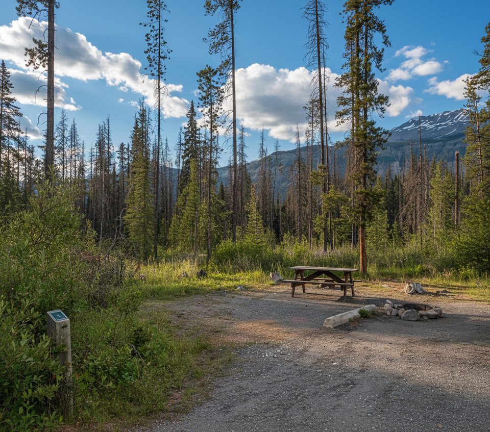
Place · 2.9 mi away
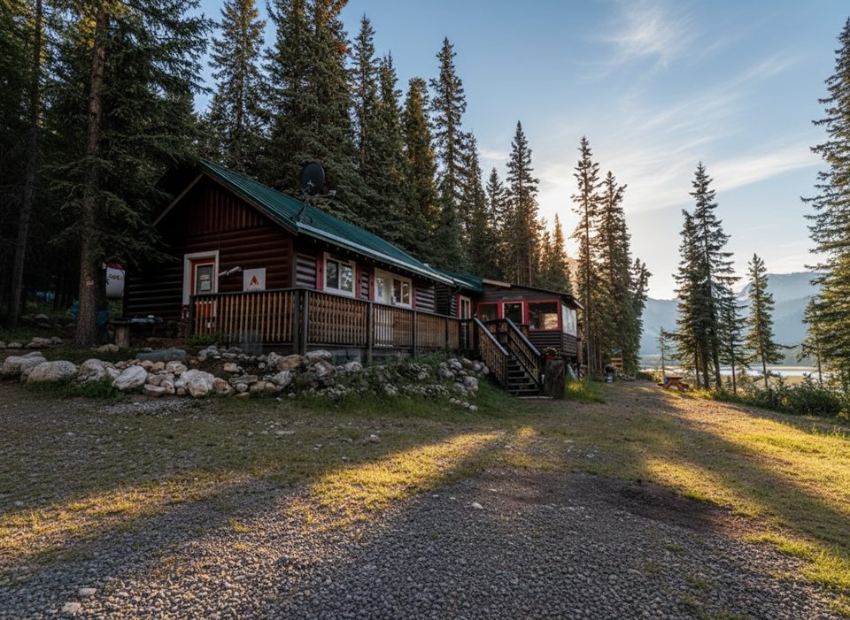
Place · 8.5 mi away
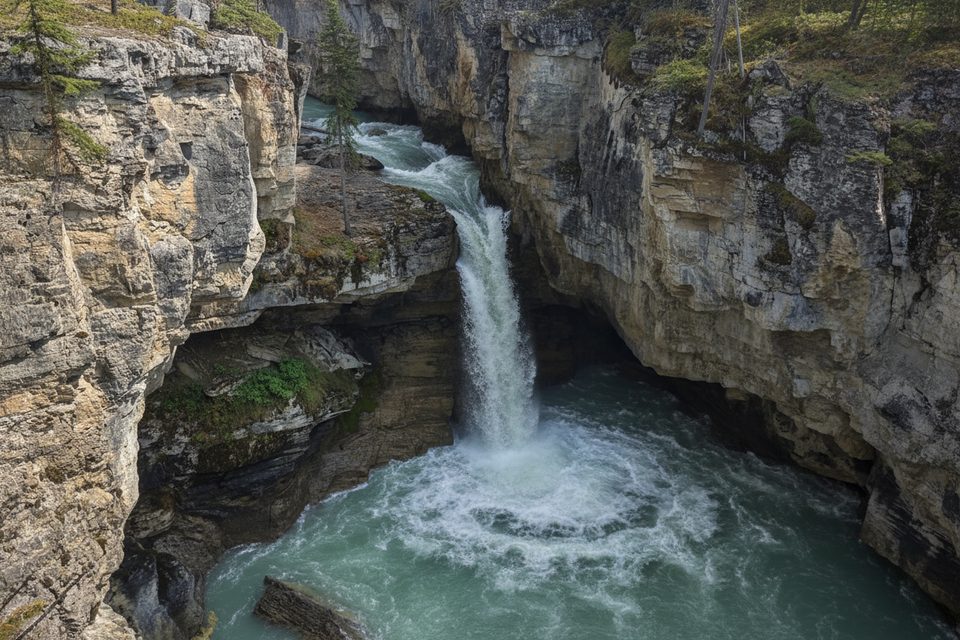
Place · 10.1 mi away
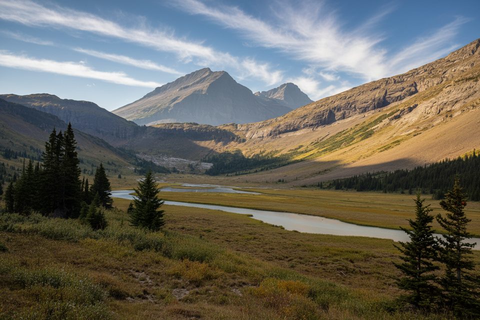
Moderate · 0 mi away
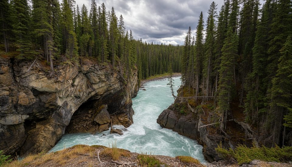
Easy · 10.3 mi away
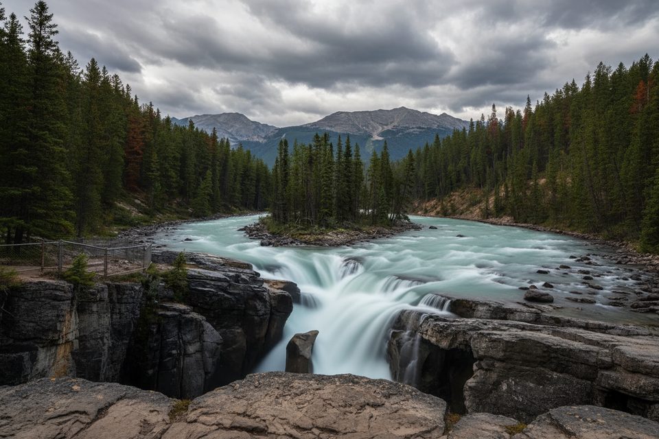
Easy · 10.3 mi away
Easy · 10.3 mi away

Parkwolf Tour Guide
