Parking
Park in the signed Sunwapta Falls Parking Area off the Icefields Parkway (Hwy 93), about 54 km south of Jasper. The lower-falls route begins from the day-use area near the upper viewpoints.
Jasper National Park, AB
Moderate forested descent from Sunwapta Falls to three lower waterfalls
Overview
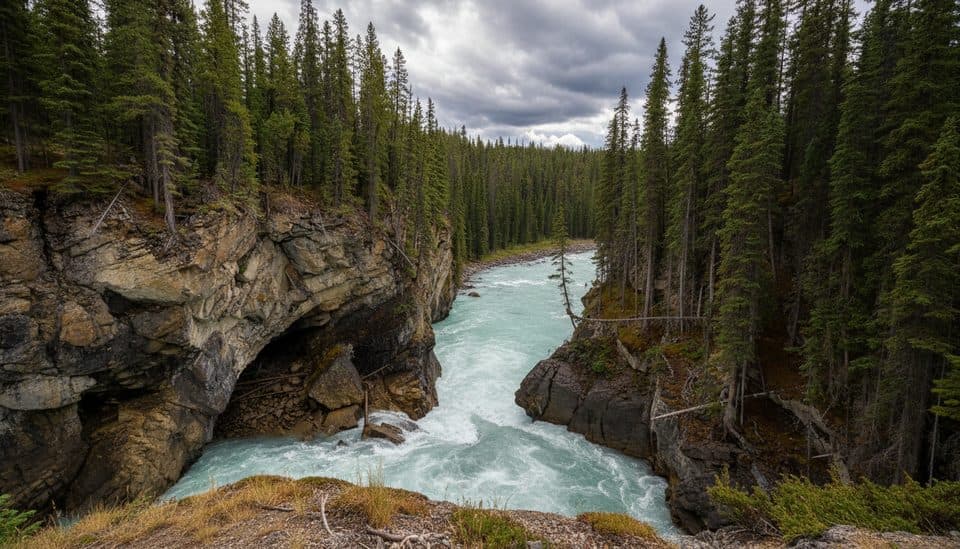
Lower Sunwapta Falls is the quieter extension of the famous Sunwapta Falls stop. From the day-use parking area, Trail 125 follows the forested Sunwapta River canyon to a series of three lower waterfalls carved into deep rock channels. It adds a worthwhile destination beyond the busy upper viewpoints.
 Parkwolf’s verdictWhy go
Map & elevation
Plan your hike

The highest, rockiest slopes around here are a summer buffet for grizzly bears.
Jasper Tour Guide
Parkwolf is a GPS audio tour guide for Jasper National Park. As you drive, it chimes in with what’s ahead: hidden gems, upcoming stops, history, geology, and wildlife, right through your car’s speakers.
See the Jasper audio tourRecorded for this trailhead
Sunwapta Falls and the Lower Falls Trail“Just ahead is Sunwapta Falls, which means 'turbulent water' in the Stoney language. The classic view is from the footbridge, where you can see a small, tree-topped island right at the brink of the main drop.”
Plays as you drive up to this trailhead in the Parkwolf Jasper Tour Guide.
More stories near here in the app
“Fantastic app with many points of information… It’s great to just turn on while you’re driving and it gives you an audio tour of the national Park. We love it!!!!”


Trail guide
This is a moderate out-and-back with a downhill walk to the lower falls and the same climb back. The mapped outbound corridor is about 1.42 km; plan on roughly 2.8 km (1.8 mi) round trip and about 1 hour. Parks Canada lists the trail as 2.6 km return with an 87 m elevation change, so the published figure is rounded relative to the source-track reconstruction. Follow the signed lower-falls route from the parking area and stay on the intended side of the river rather than taking the longer backcountry route across the main bridge.
The walk starts near the upper Sunwapta Falls viewpoints, then settles into a forested canyon route with views toward the river and lower falls. The lower destination is a series of drops in narrow rock channels, and the quieter setting makes this a good short photography walk when the upper platforms are crowded.
The route is short but not flat: the return climb and an approximately 87 m elevation change are why Parks Canada rates it moderate. Expect an established forest path with some uneven or slick sections near the canyon and water. The signed trailhead is the Sunwapta Falls Parking Area off the Icefields Parkway, about 54 km south of Jasper.
Stay behind railings and away from canyon edges and fast water. Wet rock, mist, ice, and shaded sections can be slippery; use extra care on the descent and return climb. Check current Parks Canada trail conditions before setting out. This is bear and moose habitat: make noise and carry bear spray. Parks Canada does not allow dogs on Jasper trails.
Wildlife
 174 sightingsGrizzly BearMost seen around 8 PMSighting map
 43 sightingsCaribouMost seen around 7 AMSighting map
 40 sightingsGray WolfMost seen around 6 AMSighting map
 12 sightingsCanada LynxMost seen around 8 PMSighting map
 315 sightingsMooseMost seen around 6 AMSighting map
 1,028 sightingsElkMost seen around 7 AMSighting map
Sighting maps show where each species has been reported across Jasper. Wildlife moves, so no sighting is guaranteed.
Keep exploring
 EasySunwapta Falls Trail2.8 km · 1 hr · 0.1 km awayThundering upper falls and a forest descent to Lower Sunwapta Falls
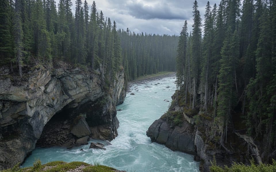 EasySunwapta Falls Lower Canyon2.7 km · 1.5 hr · 0.1 km awayAn easy, quieter out-and-back from Sunwapta Falls parking to the Lower Sunwapta Falls viewpoints.ChallengingMaligne Pass Trail48 km · 2.5 days · 16.5 km awayRemote alpine meadows on a rugged 48 km backcountry traverse.
 ChallengingGeraldine Lakes Trail12.4 km · 6 hr · 21 km awayRugged lakes-and-waterfalls climb to a backcountry campground beneath Jasper’s big peaks.
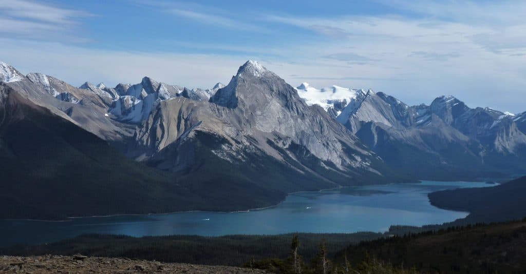 ChallengingBald Hills10.6 km · 5 hr · 21.5 km awayA demanding alpine out-and-back to broad views over Maligne LakeChallengingFryatt Valley Trail43.9 km · 16 hr · 21.5 km awayDramatic backcountry journey to Fryatt Lake, the headwall, and Sydney Vallance Hut
 ChallengingSkyline Trail44.1 km · 18 hr · 21.5 km awayCanada’s premier alpine traverse, with nearly 25 km above treeline.ChallengingShovel Pass Trail35.1 km · 12 hr · 21.5 km awayA demanding Skyline out-and-back to Big Shovel Pass from Maligne Lake
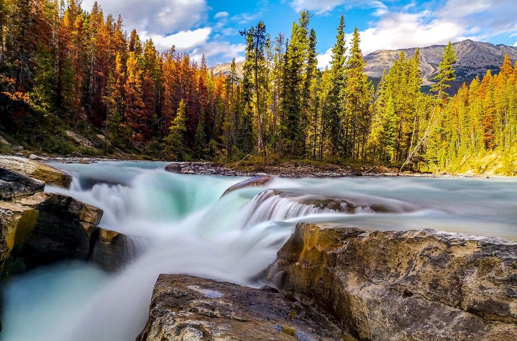 Sight · 0.1 km awaySunwapta FallsPowerful roadside falls with a photogenic island and canyon bridge
 Lodging · 0.5 km awaySunwapta Falls Resort LtdCozy cabins and on-site dining steps from Sunwapta Falls
 Sight · 3.3 km awayHoneymoon LakeQuiet roadside lake with glassy reflections and a tiny FCFS campground
 Campground · 3.5 km awayHoneymoon Lake CampgroundQuiet, lakeside FCFS campground on the Icefields Parkway
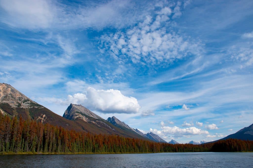 Sight · 13.3 km awayEndless Chain RidgeA serrated skyline of peaks towering above the Icefields Parkway
 Sight · 16.1 km awaySpirit IslandIconic island view on turquoise Maligne Lake, reached only by boat
Parkwolf’s Jasper ranking
The audio tour guide for the drive, plus offline maps, trails, and wildlife heatmaps for when the signal drops.




