Parking
Park at the signed Sunwapta Falls day-use lot off the Icefields Parkway. Follow the lower-falls trail from the lot on the same side of the river; do not cross the bridge. Basic day-use facilities are available at the parking area.
Jasper National Park, AB
An easy, quieter out-and-back from Sunwapta Falls parking to the Lower Sunwapta Falls viewpoints.
Overview
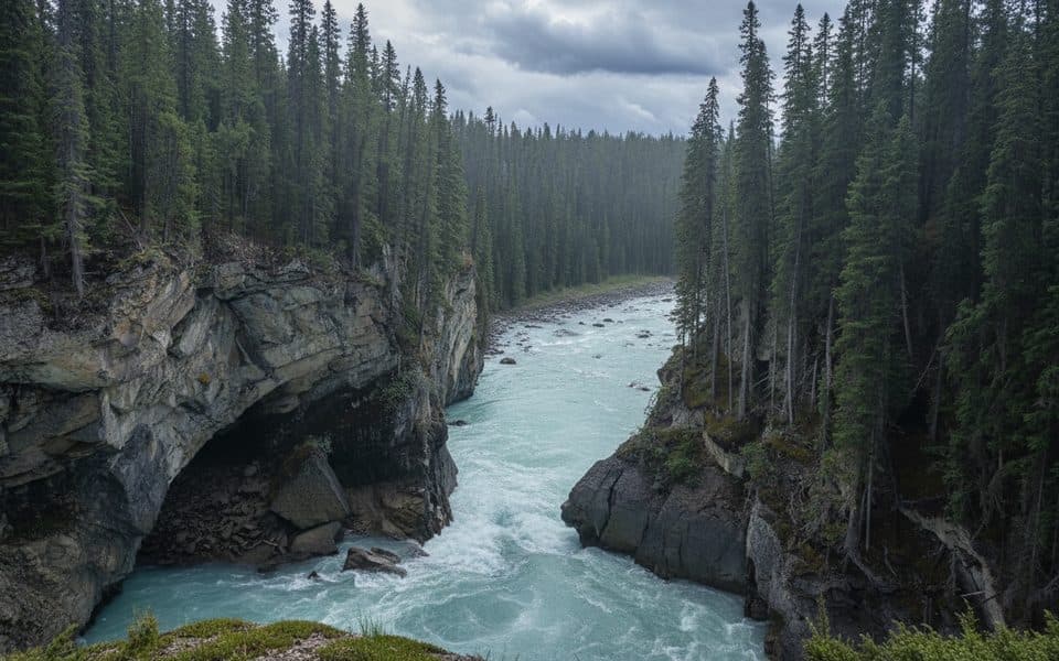
Start at the Sunwapta Falls day-use parking area and follow the signed trail downstream on the same side of the river; do not cross the bridge. The route leaves the busy upper-falls viewpoints, follows the canyon rim through subalpine forest, and ends at the Lower Sunwapta Falls viewpoints. The mapped line follows the verified OSM path from the parking-area access to the lower falls.
This is an easy out-and-back of about 2.7 km (1.7 miles) total, with roughly 80 m of elevation loss on the walk out and the same climb back. The mapped corridor is about 1.37 km (0.85 miles) one way, so the stored route is the physical corridor once while the visitor distance is the round trip. Allow about 1–1.5 hours with stops.
Expect a short paved start followed by packed dirt, roots, and a steady downhill grade toward the canyon. The route offers several quieter overlooks and a series of lower waterfalls in a tight gorge, with fast, glacially fed water below. Dogs are welcome where permitted but must remain on leash, and bear awareness is appropriate.
Stay on the signed trail and use the established viewpoints. Informal banks near the water can be steep, loose, or slick, and canyon edges and fast current require distance. The parking area has basic day-use facilities; late spring through early fall is the simplest season, while winter travel requires care around ice and changing mountain conditions.
Map & elevation
Plan your hike

The highest, rockiest slopes around here are a summer buffet for grizzly bears.
Jasper Tour Guide
Parkwolf is a GPS audio tour guide for Jasper National Park. As you drive, it chimes in with what’s ahead: hidden gems, upcoming stops, history, geology, and wildlife, right through your car’s speakers.
See the Jasper audio tourRecorded for this trailhead
Sunwapta Falls and the Lower Falls Trail“Just ahead is Sunwapta Falls, which means 'turbulent water' in the Stoney language. The classic view is from the footbridge, where you can see a small, tree-topped island right at the brink of the main drop.”
Plays as you drive up to this trailhead in the Parkwolf Jasper Tour Guide.
More stories near here in the app
“Fantastic app with many points of information… It’s great to just turn on while you’re driving and it gives you an audio tour of the national Park. We love it!!!!”


Wildlife
 174 sightingsGrizzly BearMost seen around 8 PMSighting map
 43 sightingsCaribouMost seen around 7 AMSighting map
 40 sightingsGray WolfMost seen around 6 AMSighting map
 12 sightingsCanada LynxMost seen around 8 PMSighting map
 315 sightingsMooseMost seen around 6 AMSighting map
 1,028 sightingsElkMost seen around 7 AMSighting map
Sighting maps show where each species has been reported across Jasper. Wildlife moves, so no sighting is guaranteed.
Keep exploring
 EasySunwapta Falls Trail2.8 km · 1 hr · At the trailheadThundering upper falls and a forest descent to Lower Sunwapta Falls
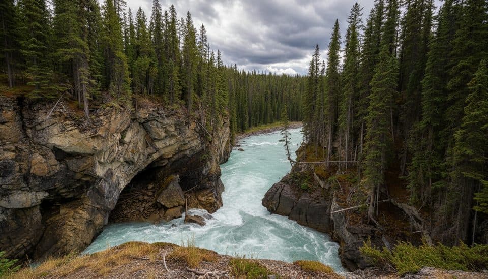 ModerateSunwapta Canyon Trail2.9 km · 1 hr · 0.1 km awayModerate forested descent from Sunwapta Falls to three lower waterfallsChallengingMaligne Pass Trail48 km · 2.5 days · 16.4 km awayRemote alpine meadows on a rugged 48 km backcountry traverse.
 ChallengingGeraldine Lakes Trail12.4 km · 6 hr · 21.1 km awayRugged lakes-and-waterfalls climb to a backcountry campground beneath Jasper’s big peaks.
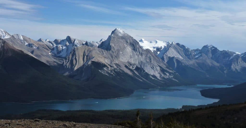 ChallengingBald Hills10.6 km · 5 hr · 21.5 km awayA demanding alpine out-and-back to broad views over Maligne Lake
 ChallengingSkyline Trail44.1 km · 18 hr · 21.5 km awayCanada’s premier alpine traverse, with nearly 25 km above treeline.ChallengingShovel Pass Trail35.1 km · 12 hr · 21.5 km awayA demanding Skyline out-and-back to Big Shovel Pass from Maligne LakeEasyLorraine and Mona Lakes Loop5.5 km · 2.5 hr · 21.5 km awayA quiet out-and-back to two clear, landslide-formed lakes off Maligne Lake’s Skyline Trail.
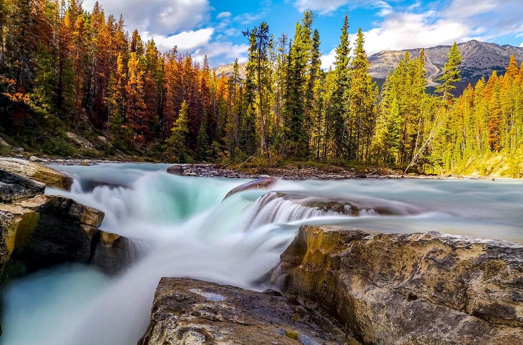 Sight · At the trailheadSunwapta FallsPowerful roadside falls with a photogenic island and canyon bridge
 Lodging · 0.6 km awaySunwapta Falls Resort LtdCozy cabins and on-site dining steps from Sunwapta Falls
 Sight · 3.3 km awayHoneymoon LakeQuiet roadside lake with glassy reflections and a tiny FCFS campground
 Campground · 3.6 km awayHoneymoon Lake CampgroundQuiet, lakeside FCFS campground on the Icefields Parkway
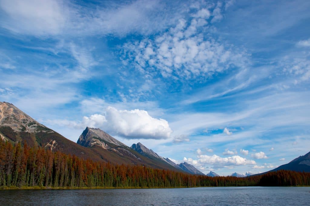 Sight · 13.2 km awayEndless Chain RidgeA serrated skyline of peaks towering above the Icefields Parkway
 Sight · 16.1 km awaySpirit IslandIconic island view on turquoise Maligne Lake, reached only by boat
Parkwolf’s Jasper ranking

The audio tour guide for the drive, plus offline maps, trails, and wildlife heatmaps for when the signal drops.




