
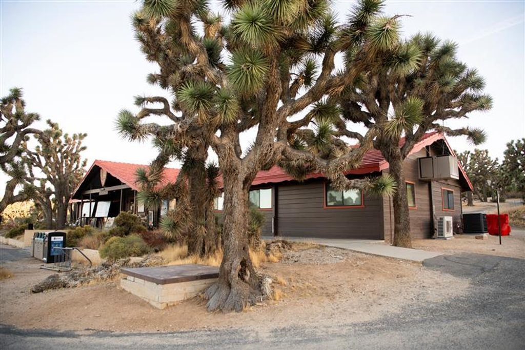
Place · 0.5 mi away
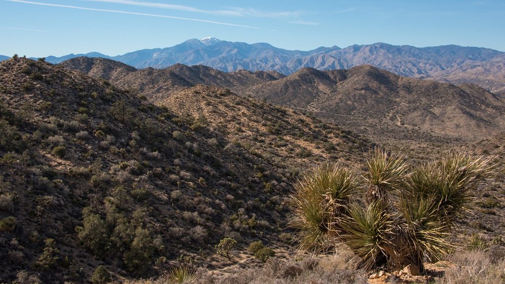
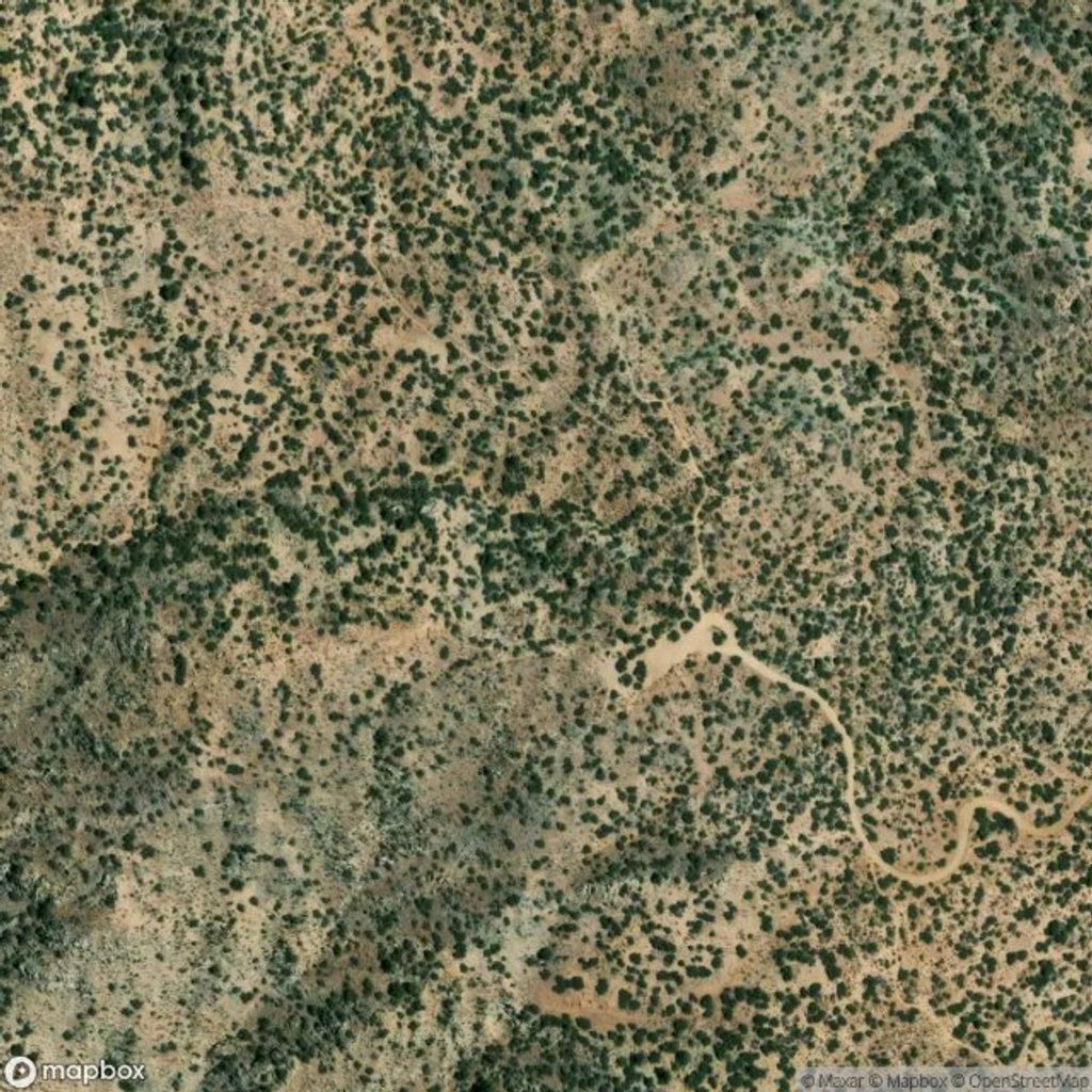
Tucked just northwest of Black Rock Campground, the Hi-View loop is a compact dose of everything you come to this corner of the park for: Joshua trees, pinyon-juniper, and a breezy summit with views for days. It’s a 1.3-mile loop with roughly 325–400 feet of gain, topping out around 4,300 feet. The Black Rock area runs cooler than the lower desert and stays comparatively mellow even on busy weekends.
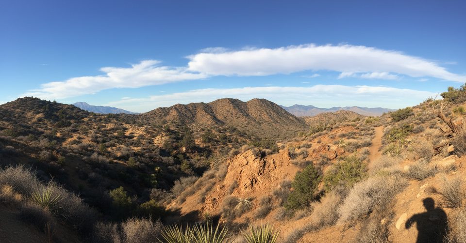
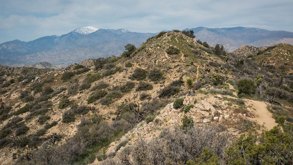
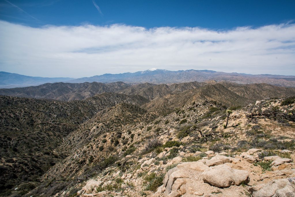
The trail threads through classic Mojave flora—big, photogenic Joshua trees—and climbs into pinyon pine and juniper. In spring, look for beavertail cactus, blue sage, desert dandelion, goldenbush, and more seasonal color. From the high point, you get sweeping 360-degree views of Black Rock Canyon, Yucca Valley, and distant, often-snowcapped San Gorgonio. Keep an eye out for a summit register to sign and benches placed at prime lookout spots.
Start from a small dirt parking area off Black Rock Fire Station Road. The loop works either way, but there’s a choice near the start: right is the more gradual ascent; left is steeper. Many hikers prefer going clockwise for the best unfolding views. Expect a well-marked dirt path with some rocky patches and stairs—easy to moderate overall, but you’ll feel the grade.
Birders do well here. Watch for pinyon and western scrub jays, cactus wrens, nocturnal poorwills, soaring turkey vultures, and red-tailed hawks. Fallen trunks sometimes show beetle activity. Plant-wise, you’ll walk through the transition from Joshua tree–dominated Mojave desert to higher-elevation pinyon-juniper woodland.
There’s dedicated parking at the trailhead, but it’s limited. On busy days, overflow parking at the nearby horse camp is the safety valve. There are benches on the trail, and you’ll see numbered interpretive markers. Note there are no restrooms or water at the trailhead; the nearest vault toilets and water are at Black Rock Campground/Nature (Visitor) Center. The access road is a short, bumpy dirt stretch that typical passenger cars handle fine.
This loop works year-round, with spring wildflowers a bonus and the higher elevation offering slightly cooler temps. Go early or late for softer light, cooler hiking, and the best photos—sunrise and sunset are especially rewarding from the top. Midday brings harsher light and warmer temps. The area generally sees moderate use and remains less crowded than the park’s headline trails. Trailhead hours run roughly 6 AM–9 PM.
Place · 0.5 mi away
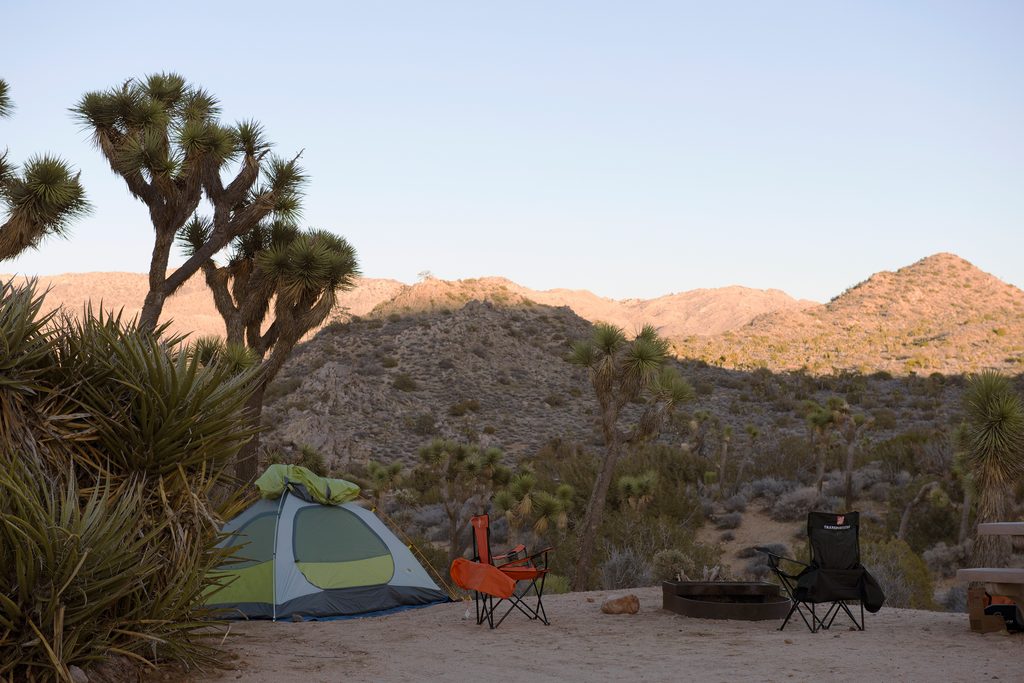
Place · 0.6 mi away
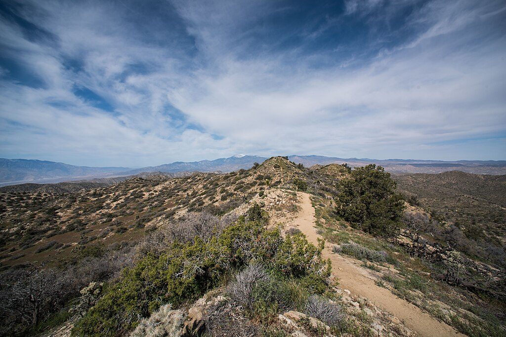
Place · 1.5 mi away
Place · 4.2 mi away
Moderate · 0 mi away
Moderate · 0.5 mi away
Moderate · 0.7 mi away
Moderate · 0.7 mi away

Parkwolf Tour Guide
