Warren Peak Trail in Joshua Tree National Park

Joshua Tree National Park, CA

Warren Peak Trail

Long desert miles lead to a steep summit and wide western views.

Photo: National Park Service
Length
6.3mi
Time
4hr
Elev. change
1,073ft
Difficulty
Challenging
  • No dogs
  • High point 5,039 ft
  • #15 of 60 in Joshua Tree

Hear the audio tour

Black Rock Canyon and Its Jellystone Past

Overview

About Warren Peak Trail

Why go

  • Broad views over Coachella Valley and the high peaks
  • A gentle desert approach before the summit climb

Heads up

  • Long, open approach can feel repetitive
  • Steep rocky finish with heat and no water to plan around
Warren Peak Trail is a 6.3-mile round-trip out-and-back from Black Rock Backcountry Trailhead to a rocky summit in the Little San Bernardino Mountains. It suits you if you want a long desert walk with a real climb and a big view at the end, not another short nature loop. The National Park Service lists about 1,110 feet of gain and three to five hours. Other recorded walks of this same standalone route come in closer to 5.6–5.7 miles, so the distance is genuinely fuzzy. Plan for roughly six miles and allow the longer end of that time range.
Parkwolf’s verdictIs this the summit hike for you?

Map & elevation

The route

Loading the Joshua Tree map
Full map
Elevation3,967–5,039 ft
TrailheadBlack Rock Backcountry Trailhead34.07513, -116.38790
Keep this map with you offline in the Parkwolf app

Plan your hike

Before you go

Parking

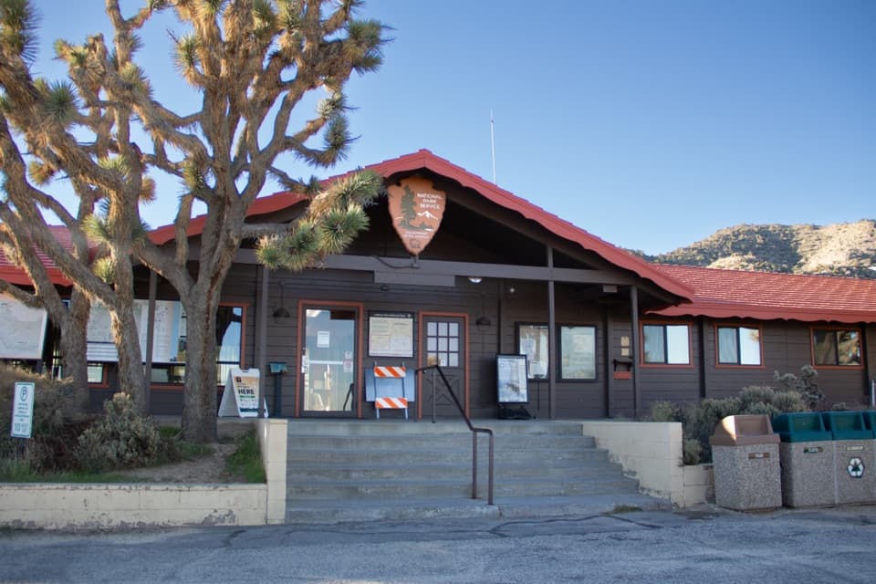
Start at Black Rock Backcountry Trailhead; the park also lists access near campsite 30. Parking is limited. The Black Rock Nature Center and designated horse parking area are additional options, with horse parking used as overflow on busy days.

Safety

The park classifies this as strenuous and warns against hiking in summer or whenever it is hot. There are long sun-exposed stretches and no drinking water on the route. The summit climb is steep and rocky, and the ridge can be windy.

5 active Joshua Tree alerts

  • ClosureOasis of Mara Trail closed past the OasisThe Oasis of Mara Trail is closed past the Oasis due to a heavy flooding event; do not continue beyond the Oasis. Check current park conditions before visiting.Official details
  • ClosureSR 62 and US 95 closed by floodingFlooding has closed portions of SR 62 and US 95; avoid the closed segments.Official details
See all 5 alerts
A park ranger sits on a dash-mounted phone, talking, as Parkwolf’s Tour Guide plays “Army Cutworm Moths: A Grizzly Bear Buffet” on Grand Loop Road below Dunraven Pass in Yellowstone
Parkwolf Tour GuideThe highest, rockiest slopes around here are a summer buffet for grizzly bears.

Joshua Tree Tour Guide

Your drive to Warren Peak Trail, narrated.

Parkwolf is a GPS audio tour guide for Joshua Tree National Park. As you drive, it chimes in with what’s ahead: hidden gems, upcoming stops, history, geology, and wildlife, right through your car’s speakers.

See the Joshua Tree audio tour

Recorded for this trailhead

Black Rock Canyon and Its Jellystone Past
0:00 / 0:37
“You're approaching Black Rock Canyon, a separate corner of the park with dense Joshua trees and its own trail network.”

Plays as you drive up to this trailhead in the Parkwolf Joshua Tree Tour Guide.

More stories near here in the app

  • The Fox with Several Homes
  • The Ant Colony’s Living Pantry
  • The Raven's Aerial Games
  • The Roadrunner's Morning Warm-Up
  • 89 audio storiesacross Joshua Tree’s roads, triggered by GPS as you drive
  • Wildlife heatmapsfor Bighorn Sheep, Golden Eagle, Desert Tortoise, and 13 more
  • Works offlinemaps, 60 trails, 64 places, and audio download before you lose signal
  • CarPlay readysimple controls built for the drive
★★★★★
“Fantastic app with many points of information… It’s great to just turn on while you’re driving and it gives you an audio tour of the national Park. We love it!!!!”
JMJamesApp Store review
Download Parkwolf on the App StoreGet Parkwolf on Google Play

4.7 from 8,600+ ratings

Trail guide

Hiking Warren Peak Trail

The easy miles come firstThe path starts gently through a sandy wash and open desert.

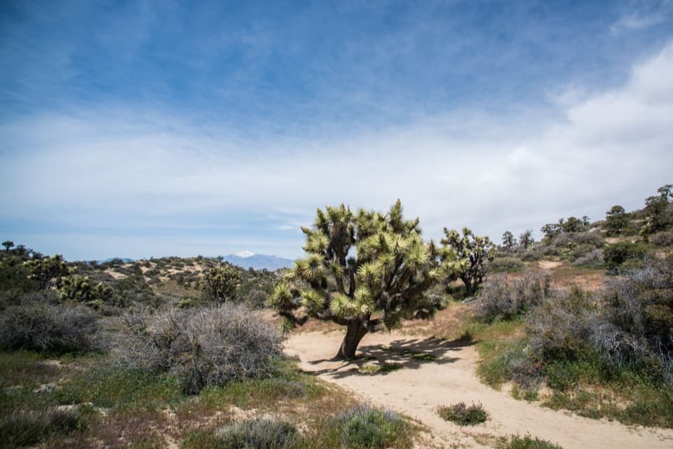
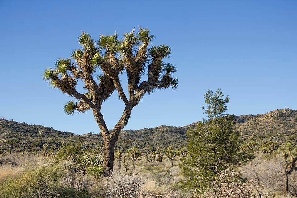
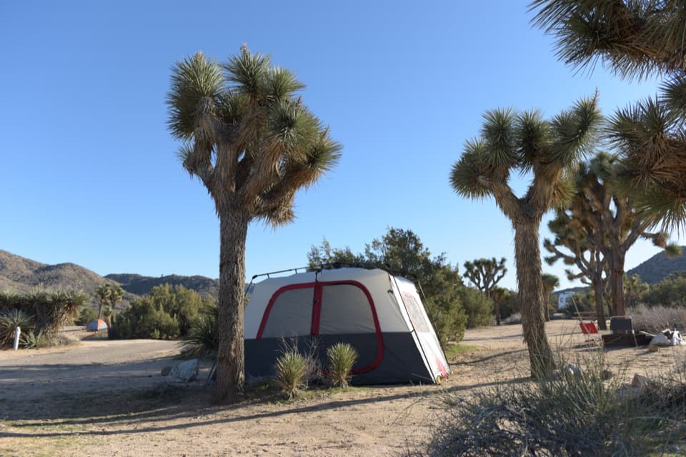
The path starts gently through a sandy wash and open desert. Joshua trees, Mojave yucca, goldenbush and low shrubs line the lower route. This is a fair amount of walking before the climb gets serious; sand is usually shallow, but the open approach can feel long on the way back. There is little shade, and the steady miles can make the summit seem farther away than it is. Keep your energy for the upper trail rather than treating the wash as a warm-up you can race through.

Find the Warren Peak spurThe grade increases as the route leaves the lower wash and moves into pinyon and juniper.

The grade increases as the route leaves the lower wash and moves into pinyon and juniper. Follow the signed Warren Peak spur from the Black Rock Canyon/Panorama route. If you continue around the Panorama Loop, you have chosen a different, longer hike. The upper section is steep and rocky, with rougher footing than the approach; one short part can feel scramble-like. Take your time on the way up and down, especially where the trail crosses loose rock.

What the summit earnsThe payoff is a broad, open panorama across the western park and Coachella Valley, with San…

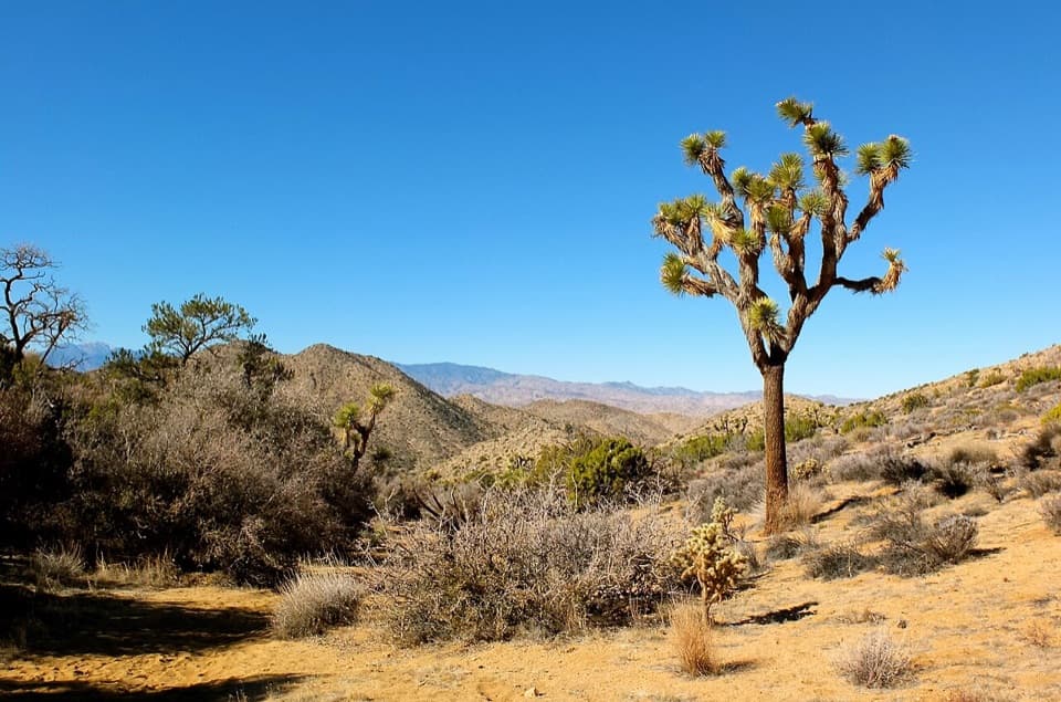
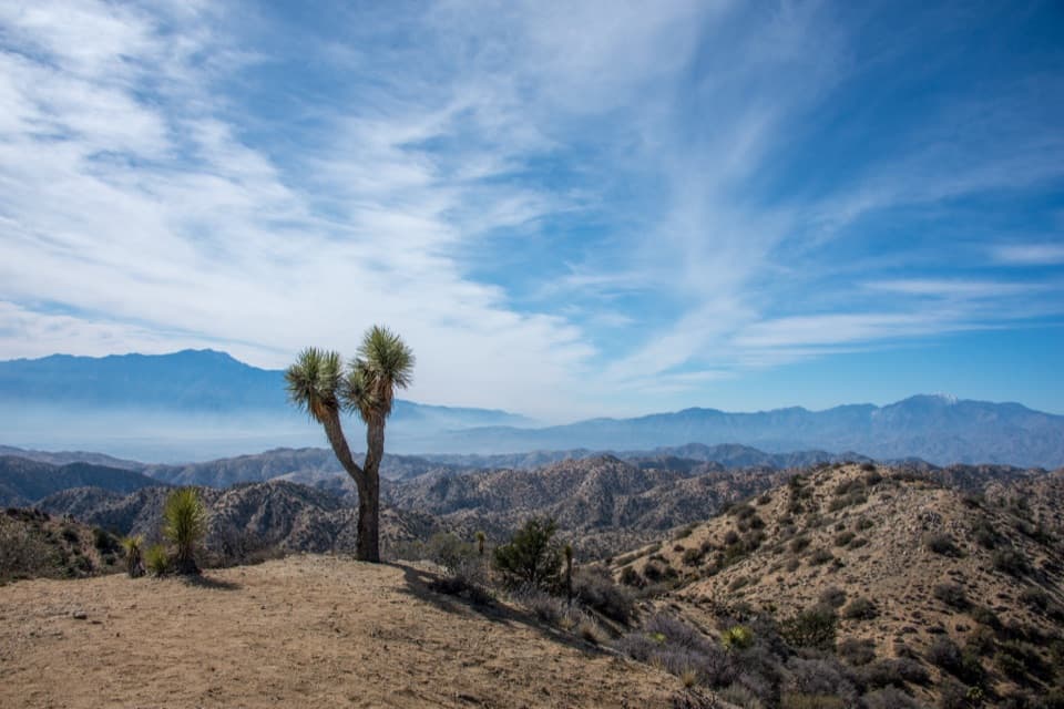
The payoff is a broad, open panorama across the western park and Coachella Valley, with San Jacinto to the southwest and San Gorgonio to the west. You climb from low desert scrub into higher pinyon-juniper country, so the view changes as the ridge opens up. This is a natural rocky summit rather than a built overlook. Spring can bring wildflowers across the route, but the wide views are the reason to make the climb in any season when conditions are safe.

Heat and effortThe park classifies this as strenuous and warns against hiking it in summer or whenever it is…

The park classifies this as strenuous and warns against hiking it in summer or whenever it is hot. The route has long sun-exposed stretches and no drinking water, so bring everything you need and choose a cool day. Wind on the ridge can make the summit feel very different from the sunny parking area; a light layer is useful. If the forecast is hot, come back another day instead of counting on shade or water appearing higher up.

Start, parking and petsStart at Black Rock Backcountry Trailhead; the park also describes access near campsite 30.

Start at Black Rock Backcountry Trailhead; the park also describes access near campsite 30. Parking is limited. The Black Rock Nature Center and designated horse parking area are additional options, with the horse area used for overflow on busy days. Black Rock sits apart from the rest of Joshua Tree, so plan this as its own outing rather than a quick stop between the park's north and south sections. Pets are not allowed on trails in the Black Rock Area.

Wildlife

Wildlife in Joshua Tree

All Joshua Tree wildlife maps

Sighting maps show where each species has been reported across Joshua Tree. Wildlife moves, so no sighting is guaranteed.

Keep exploring

Near Warren Peak Trail

See it all on the map

Trails that start nearby

Places near the trailhead

Parkwolf’s Joshua Tree ranking

Top-rated trails in Joshua Tree

All 60 trails
  1. 1Hidden Valley Nature TrailEasy · 1 mi
  2. 2Barker Dam Nature TrailEasy · 1.3 mi
  3. 3Ryan Mountain TrailChallenging · 3 mi
  4. 4Fortynine Palms Oasis TrailChallenging · 3 mi
  5. 5Lost Palms Oasis TrailChallenging · 7.5 mi
  6. 6Arch Rock TrailEasy · 1.3 mi

Take Parkwolf to Joshua Tree.

The audio tour guide for the drive, plus offline maps, trails, and wildlife heatmaps for when the signal drops.

4.7 from 8,600+ ratings

Download Parkwolf on the App StoreGet Parkwolf on Google Play