
Place · 0.1 mi away
Moderate
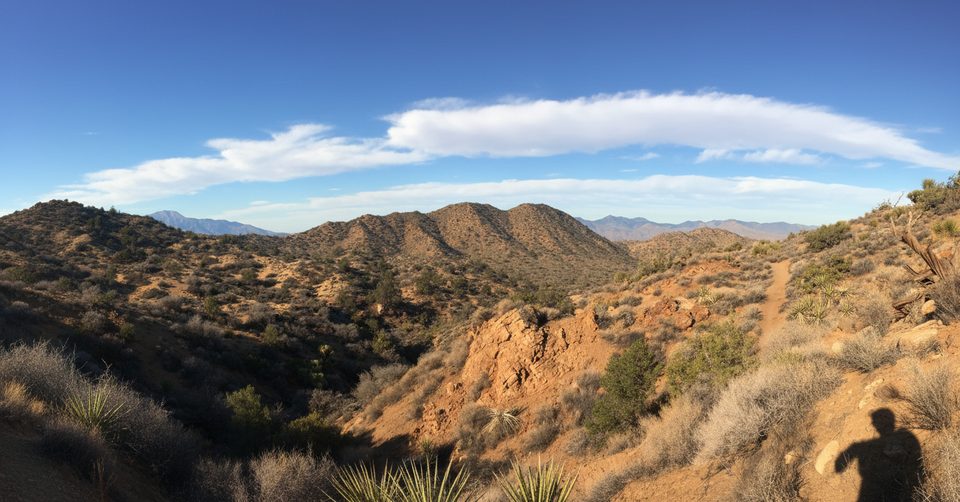
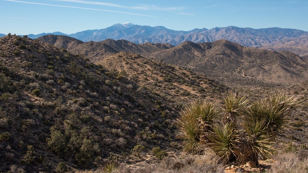
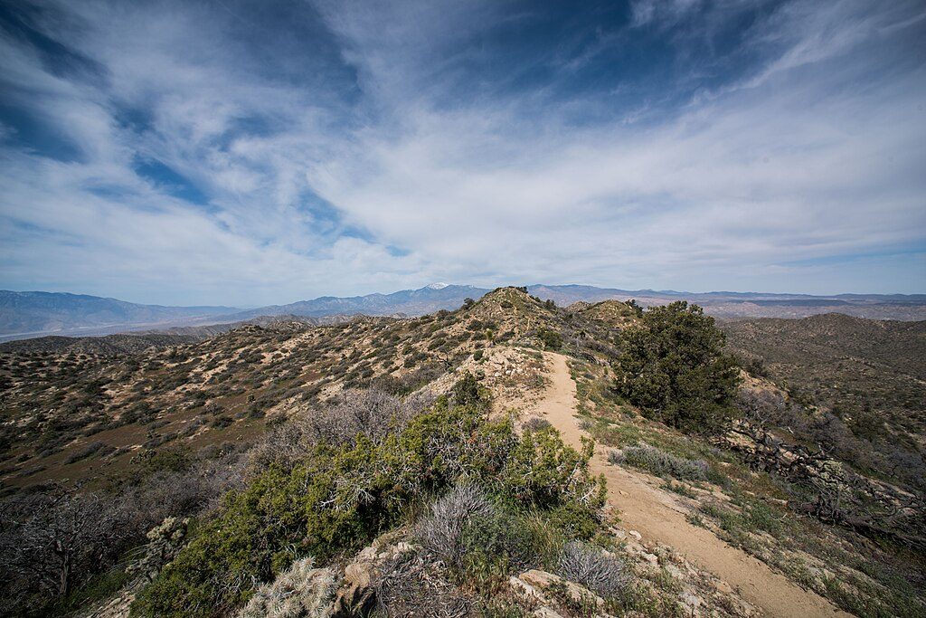
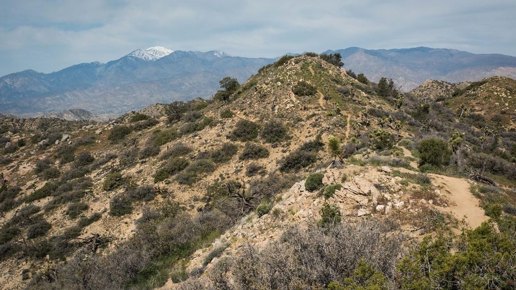
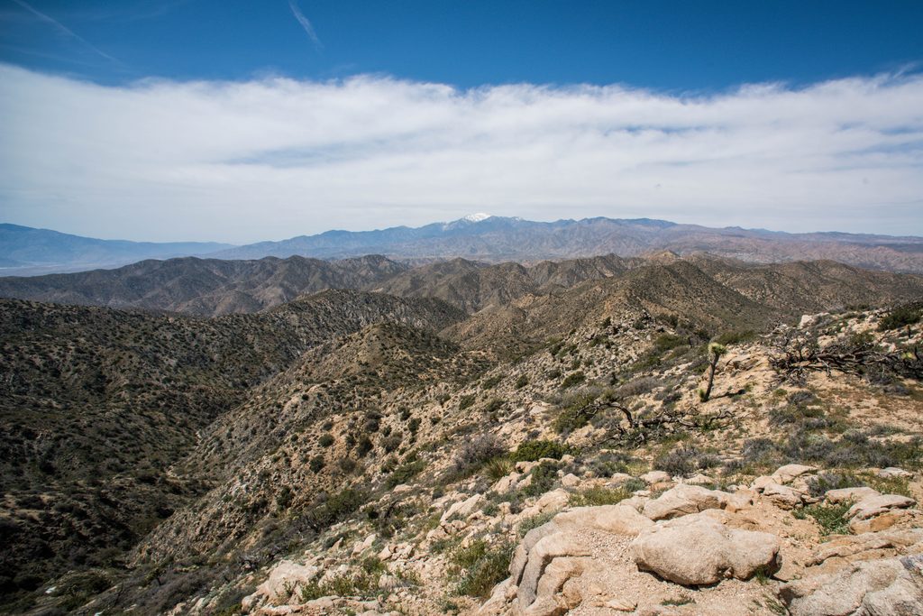
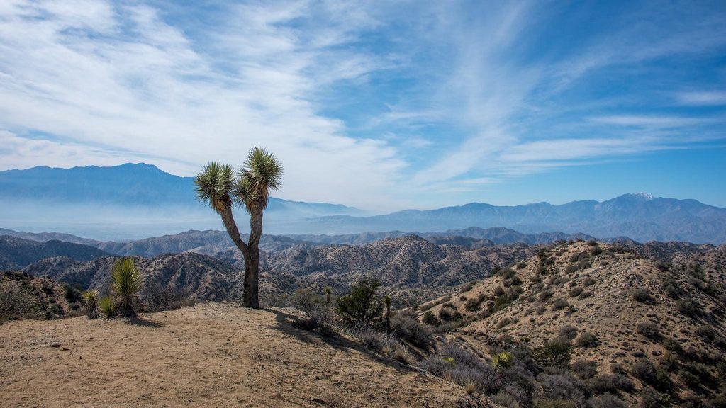
This moderate 4.7–4.9 mile loop explores the Black Rock area’s mature Joshua tree and pinyon–juniper woodlands with about 785–820 feet of steady gain. It’s a less-crowded corner of the park with sweeping sightlines to San Gorgonio (and often San Jacinto), especially striking in winter and spring when the high peaks carry snow. Expect classic Mojave Desert scenery, rolling hills, and a peaceful vibe away from the park’s busiest corridors.
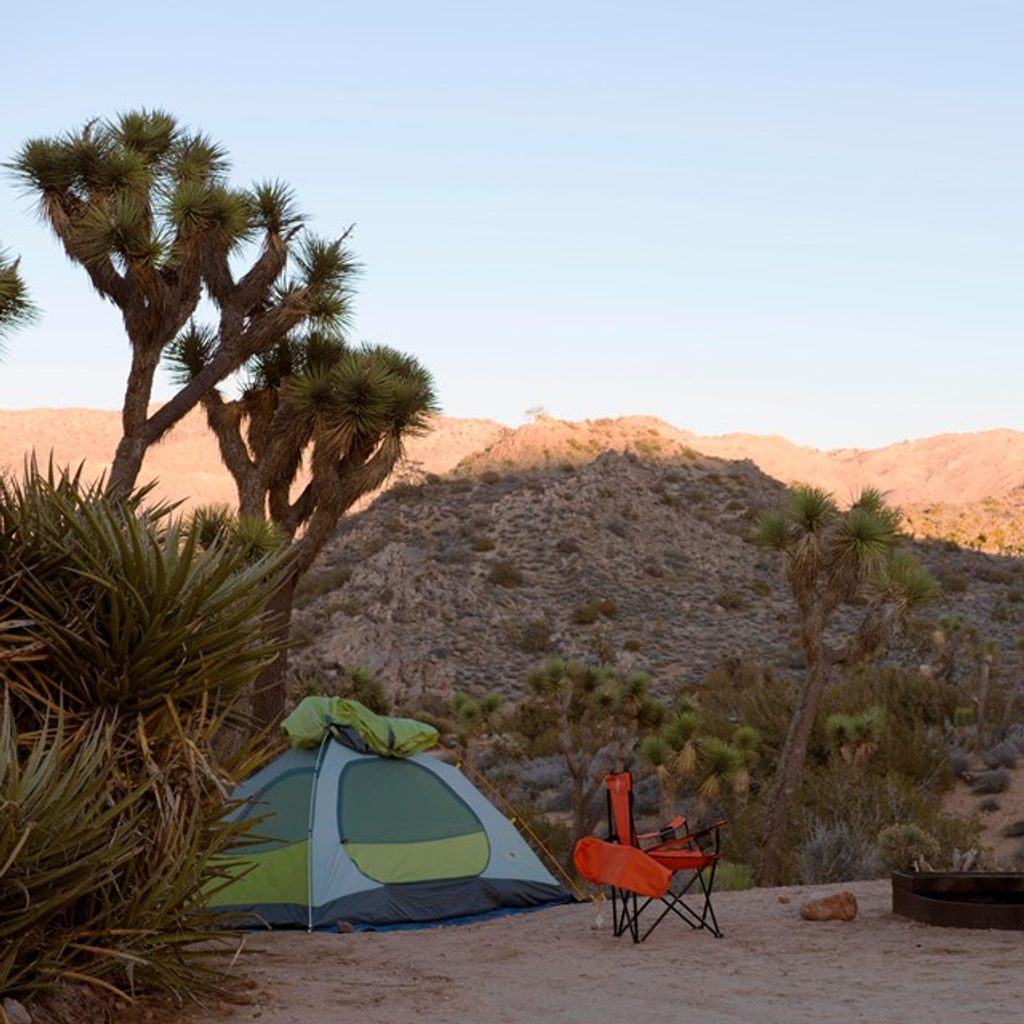
Start from the Black Rock Campground area; many hikers prefer a clockwise direction for better early views. The first mile climbs gently through a standout Joshua tree forest and briefly overlaps/intersects with the Hi-View Nature Loop before continuing upward. Most of the elevation arrives in the first two miles. You’ll cross a few washes where route-finding relies on rock markers, then cruise open ridgelines on the loop’s southeastern side. The back half eases into a gradual descent toward the campground with options to connect to nearby local trails. Underfoot is typical desert singletrack—hard-packed dirt with sandy wash sections and some rocky bits—uneven enough that this is not an accessible route.
This loop showcases some of the Black Rock district’s densest, most photogenic Joshua tree stands alongside pinyon–juniper woodland. Watch for birds and the occasional desert mammal, plus seasonal wildflowers after wet winters. Geologically, the low ridges and braided washes here bear the fingerprints of flash floods and long, dry-season erosion—textbook Mojave processes that shape the rolling terrain and big-sky views.
Fall through spring delivers cooler temps, clearer air, and those snow-topped high-peak vistas. Summer is a heat trap with little shade—if you choose to go, start before 8 a.m. and carry extra water and sun protection. Early mornings generally offer the softest light for photography; clockwise travel front-loads the climb and the big San Gorgonio views.
If you’re after a moderate desert loop with room to breathe, mature Joshua trees, and long mountain views, West Side Loop is a strong, often underrated choice—especially in cool seasons. Just bring route awareness and plenty of water, and you’ll get a quieter Joshua Tree experience without sacrificing scenery.
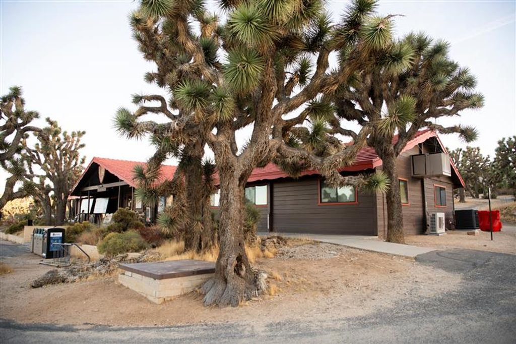
Park at the Black Rock Nature Center or the Hi-View Nature Trailhead; multiple access points exist around the loop. Do not park in campsites unless registered.
Multiple junctions and wash crossings with limited signage; carry a map. Little shade, no water, and unreliable cell service. Summer heat can be severe. Pets not allowed (service animals on 6-foot leash).
Place · 0.1 mi away
Place · 0.1 mi away
Place · 0.5 mi away
Place · 1.5 mi away
Moderate · 0.3 mi away
Moderate · 0.3 mi away
Moderate · 0.3 mi away
Easy · 0.3 mi away

Parkwolf Tour Guide
