Place · 0 mi away
Moderate

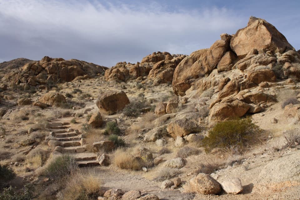
A short-and-sweet loop in the Black Rock area, the Hi-View Nature Trail delivers big scenery without a huge time commitment. The main loop is about 1.4 miles total (from the signed trailhead), with roughly 300–400 feet of climbing. Expect a few steep stretches and stone steps, then an easy descent.
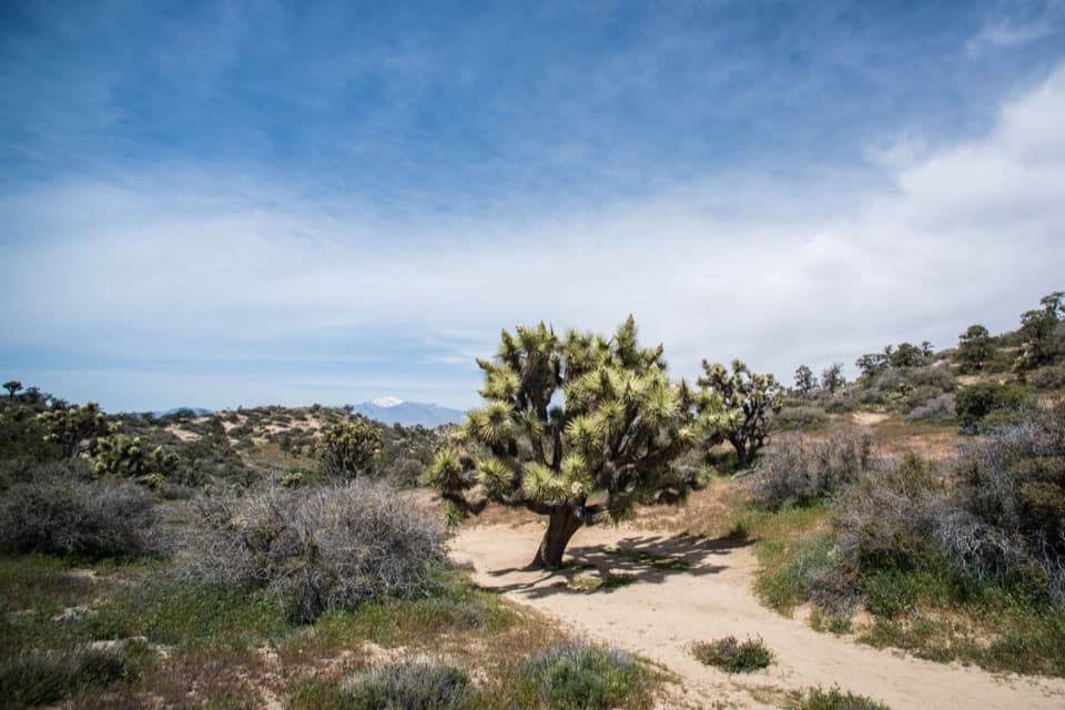
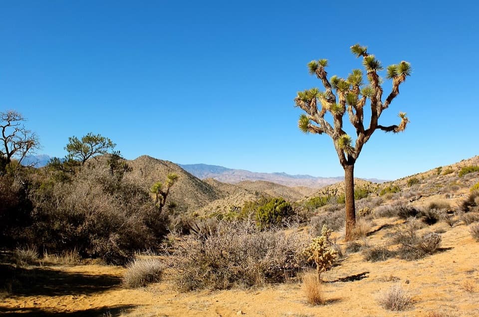
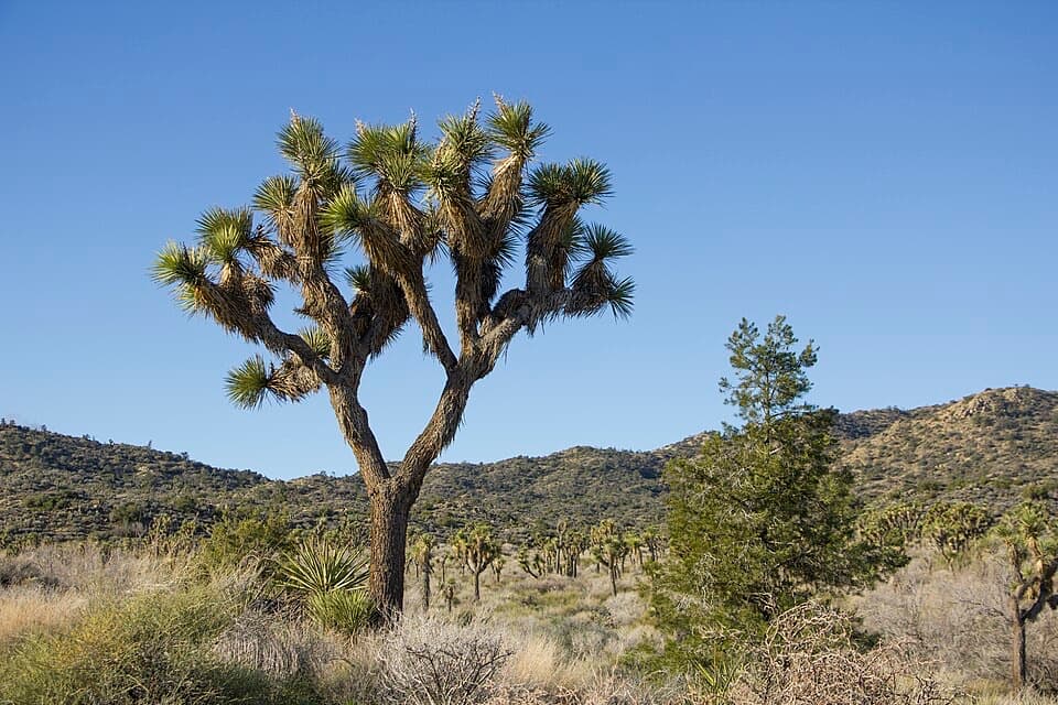
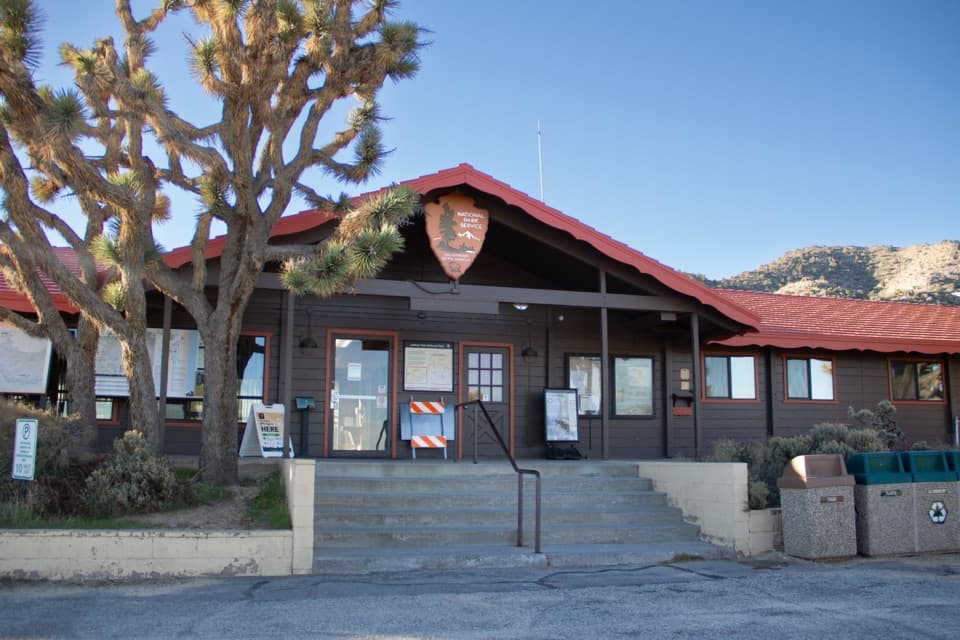
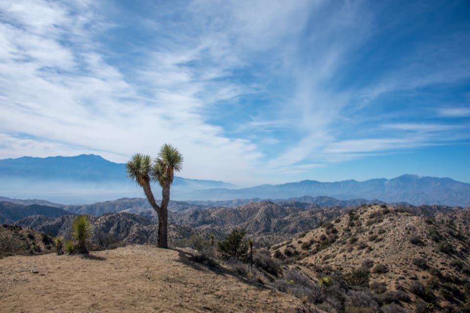
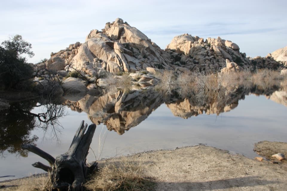
The payoff is a 360-degree panorama at the high point—views over Yucca Valley, the San Gorgonio range, and deep into Black Rock Canyon. Along the way you’ll weave through healthy stands of large Joshua trees with pinyon pine and juniper. In spring, watch for wildflower pops like beavertail cactus, blue sage, and nolinas. Benches at scenic spots make it easy to linger, and you’ll find an interpretive loop with about 21 trail markers (pick up the guide at Black Rock Visitor Center) plus a summit register and a short spur to an overlook.
It’s a true loop and you can hike it either way: clockwise gives a more gradual ascent; counterclockwise attacks the steeper bits early and finishes mellow. Footing is a mix of compact desert tread, sandy patches, and rocky steps—fine for most hikers, but not stroller- or wheelchair-friendly. Families with kids who handle short climbs do well here. Pets aren’t allowed on the trail.
Spring and fall are prime—cooler temps, better light, and potential wildflowers. Summer can be hot, but Black Rock usually runs cooler and less crowded than other parts of the park; go early morning or late afternoon for shade angles and softer photography light. Winter is doable too, though occasional snow can dust the area.
If you want a quick hit of views, classic Joshua tree habitat, and a quieter corner of the park, this loop is a smart pick.
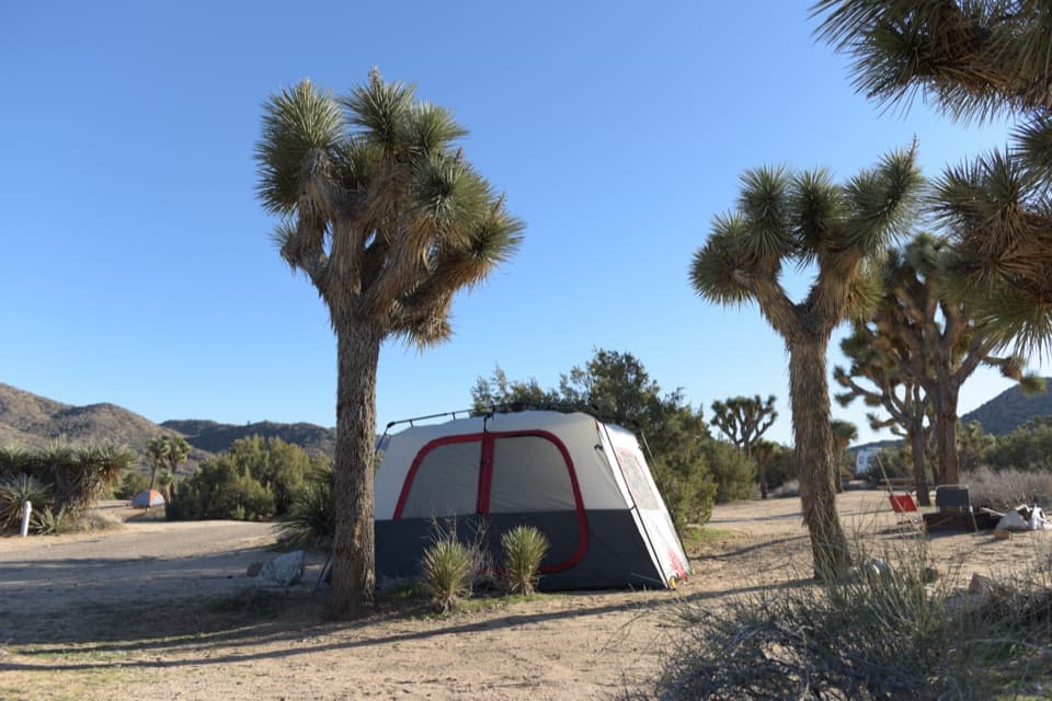
Park at the lot at the end of the road past the horse camp; overflow parking is at the horse camp area. You can also start from Black Rock Campground between campsites 20 and 21 for a longer lollipop.
Very limited shade and sustained sun exposure; carry water and sun protection. Expect rocky steps, some steep grades, and sandy tread. The Black Rock trail network intersects often—grab the interpretive guide/map to avoid wrong turns. Occasional winter snow possible.