
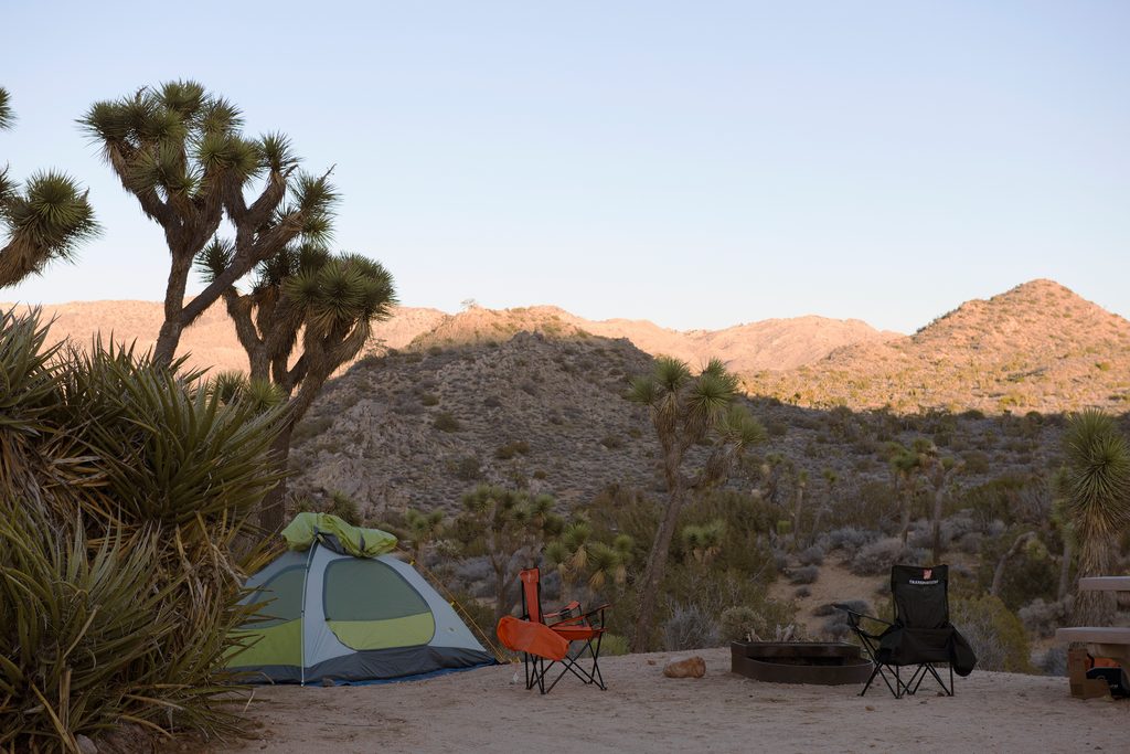
Place · 0.2 mi away
Moderate
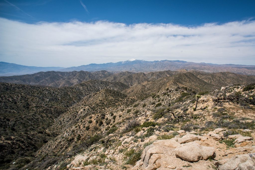
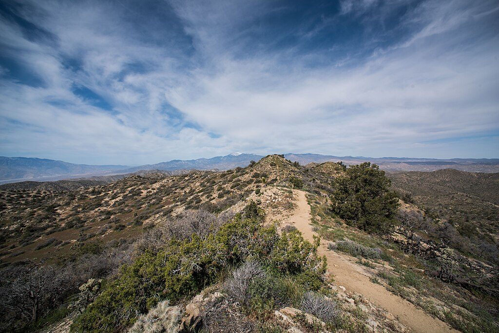
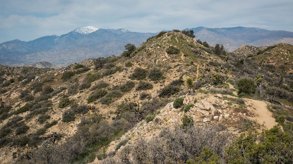
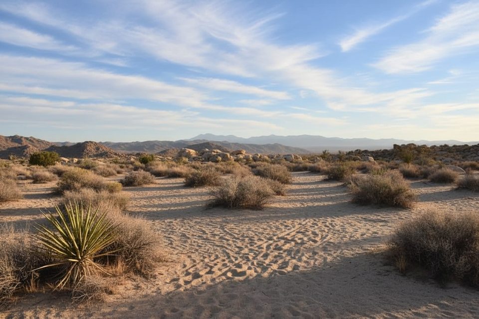
Starting from the south end of Black Rock Canyon Campground, Panorama Loop serves up a quieter side of Joshua Tree with a satisfying mix of sandy washes, granite-studded ridges, and broad desert vistas. The route is a lollipop: an approach from the campground leads to a loop, then you return on the same approach. Total distance is about 6.6 miles with a bit over 1,000 feet of gain—moderate overall, with a couple of steeper, rockier climbs.
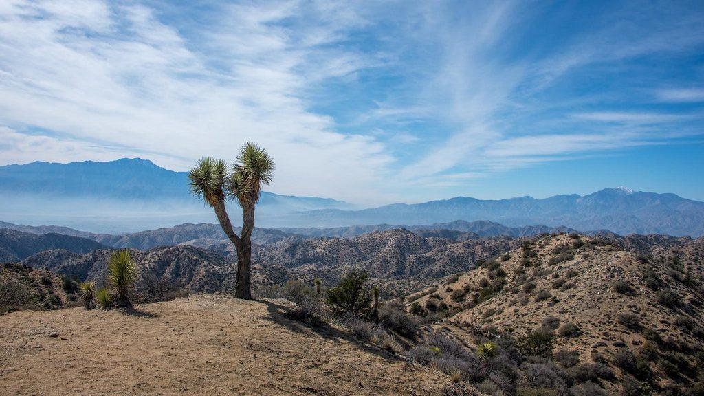
This corner of the park is botanically rich. You’ll walk through dense stands of Joshua trees and transition into pinyon-juniper and oak woodlands as the trail rises along the Little San Bernardino Mountains. Expect classic granite boulder formations and rim rock along the ridgeline. From the high point, the views are the payoff—360-degree panoramas over the park’s western mountains and out toward Yucca Valley.
Wildlife tends to be more active here than in the lower, hotter basins. Listen for birdsong in sheltered valleys and keep an eye out for lizards and ground squirrels scurrying between shrubs.
Hike it counter-clockwise for a gentler ascent and easier descent; clockwise front-loads the steeper climbing. Wooden posts marked “PL” help confirm you’re on the Panorama Loop. Around the loop’s western side you’ll pass a junction with the Warren Peak Trail—stay right to remain on Panorama Loop. Not every junction sign spells out trail names, so bring a map or offline GPS and verify turns at intersections. The loop typically closes around mile 4.7; from there, retrace the approach back to the campground.
Underfoot, expect plenty of soft sand in washes (it’s a calf burner and slows your pace), with firmer, rockier tread on the ridge. Much of the route is open and exposed, so start early, especially on warm days. Crowds are lighter than the park’s central showpieces, and it’s common to enjoy long stretches of solitude.
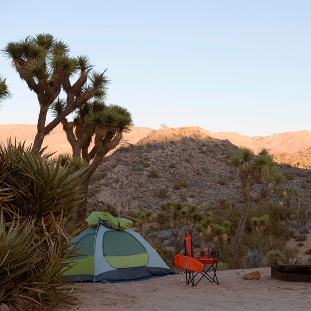
Park at Black Rock Canyon Campground and start from the south end trail access. There’s no entrance station at this corner of the park, but standard park entry fees or a parks pass still apply. There’s no water on the trail and typically no cell service, though offline GPS works well.
Fall through spring are the sweet spots for comfortable temperatures and crisp views. In summer, aim for sunrise or late afternoon to dodge the worst heat and glare. Weekday mornings offer the most solitude; sunrise lighting is excellent across the ridge and Joshua tree flats.
If you want a classic Joshua Tree landscape without the crush, this loop is a standout. The combination of varied plant life, big-view ridge walking, and quieter paths makes it easy to recommend. If you’re hungry for more, many hikers add a side trip to Warren Peak from the loop, but the Panorama Loop’s high point already delivers the superior views for most people.
Park at Black Rock Canyon Campground (south end). The trail leaves directly from the campground area; display your park pass as there’s no entrance station here.
No water, little shade, and limited cell service. Sandy footing and a few steep, rocky stretches. Some junctions lack clear names—carry a map/offline GPS and confirm turns.
Place · 0.2 mi away
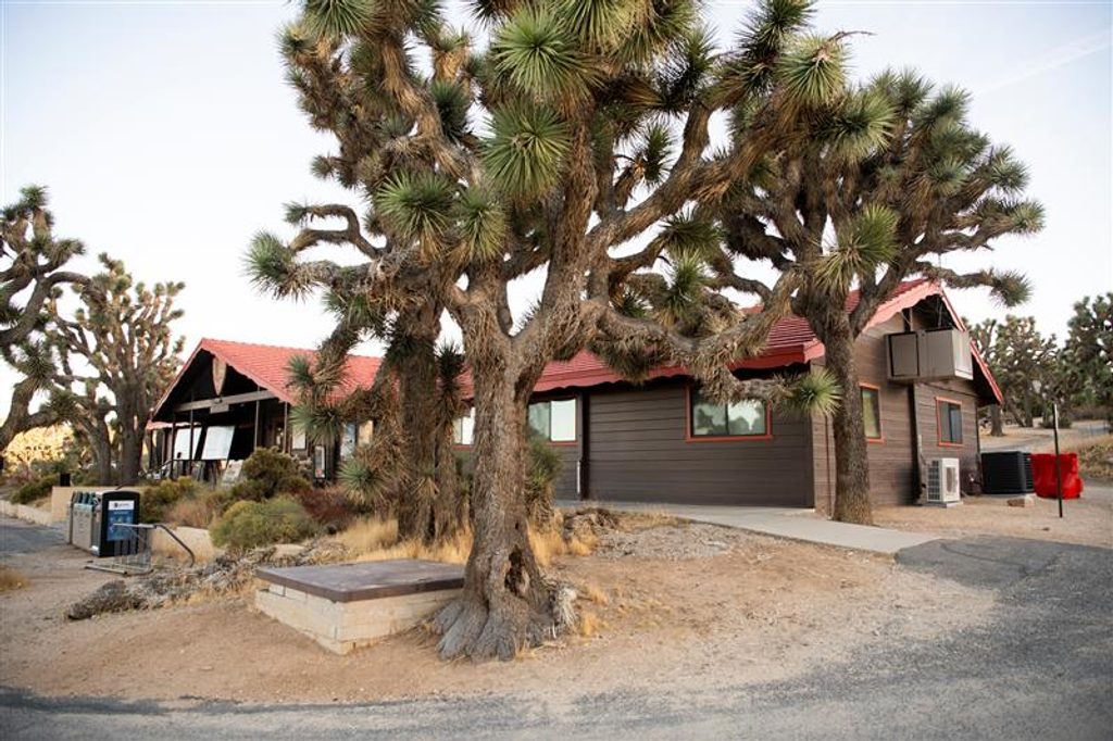
Place · 0.2 mi away
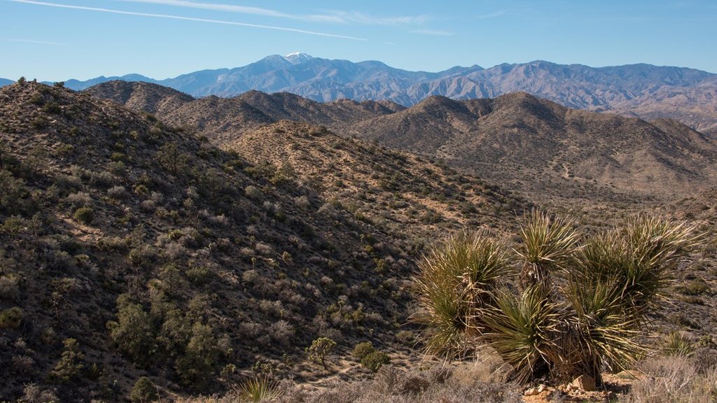
Place · 0.7 mi away
Place · 1.7 mi away
Moderate · 0 mi away
Moderate · 0 mi away
Easy · 0 mi away
Easy · 0 mi away

Parkwolf Tour Guide
