
Place · 0.2 mi away
Moderate
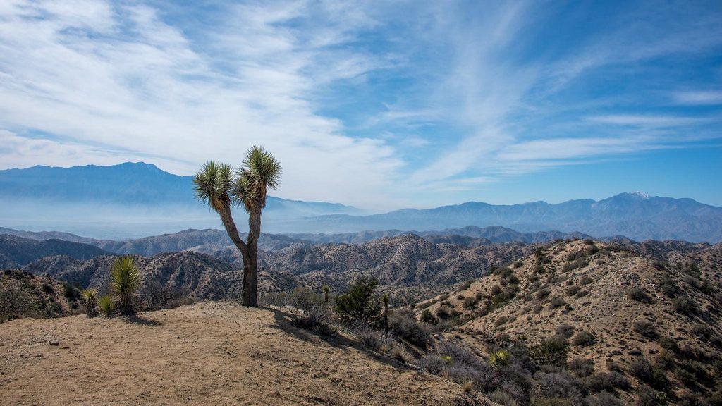
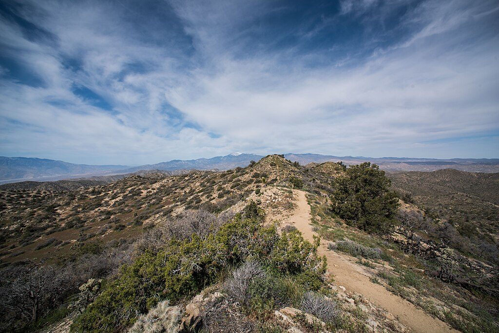
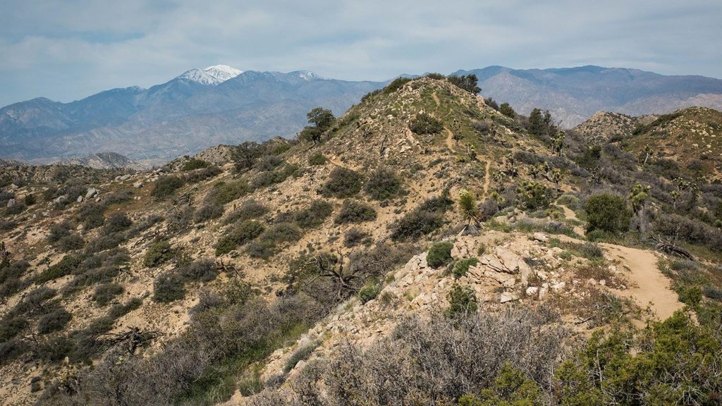
Eureka Peak is a moderately challenging, less-traveled summit hike with big payoffs: quiet desert miles and wide-open views from one of the park’s higher points. If you want Keys View-level panoramas without the tour-bus crowd, this is your move.
Start from the Black Rock Backcountry Trailhead and follow the California Riding and Hiking Trail for about 1.1 miles to the signed junction. Turn onto the Eureka Peak Trail and head south toward the summit. The route is an out-and-back totaling about 11 miles round trip with roughly 1,748 feet of elevation gain. Expect a mostly gradual climb through sandy washes and desert singletrack, with a steeper push near the top.
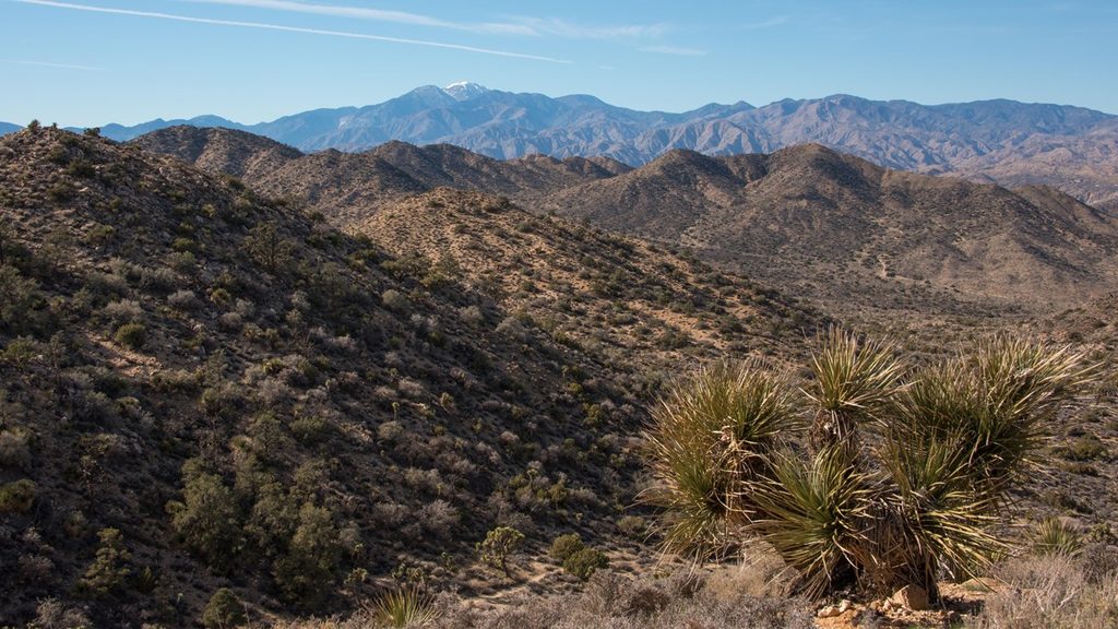
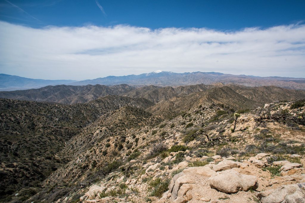
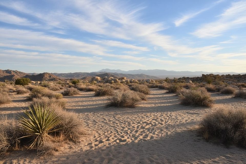
This upper-elevation corner of the park is dotted with some of the largest Joshua trees around, scattered granite boulders, and classic high-desert washes. From the 5,521-foot summit, you’ll get 360-degree views across the Mojave Desert, the Coachella Valley, and toward Mount San Jacinto and San Gorgonio, plus sightlines toward Yucca Valley and 29 Palms. Keep your eyes peeled for Desert Tortoise and Bighorn Sheep; deer sometimes roam the upper slopes, too.
It’s quiet out here. The sandy stretches make the hiking feel slower than the numbers suggest, and the final climb can be windy and exposed. That solitude is the tradeoff: fewer people, more sky, and a real backcountry vibe compared to the busier roadside viewpoints.
Year-round access, but spring and fall bring the most comfortable temps and clear air for long views. Summer heats up fast—start pre-dawn and plan for full sun. Winter can bring brisk winds and the occasional dusting of snow up high, which makes the views dramatic but the summit chillier. Weekdays and early starts stack the deck for solitude and softer light for photos.
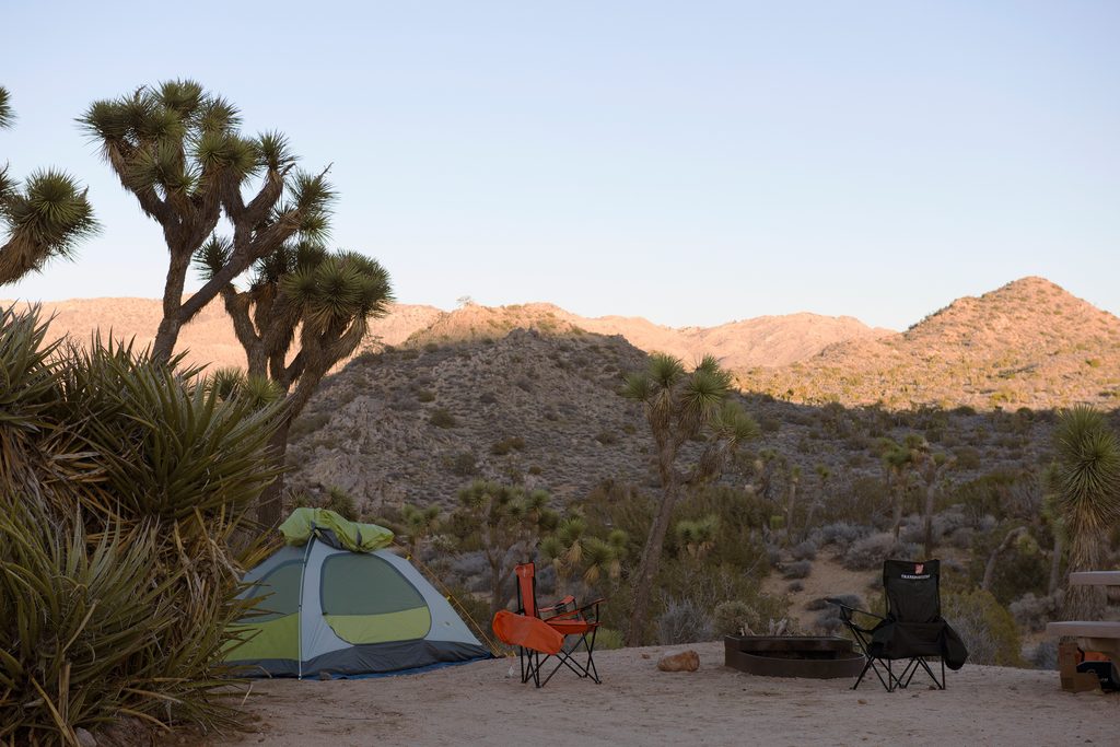
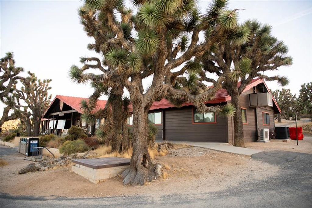
Park at Black Rock Backcountry Trailhead; overflow at Black Rock Nature Center and nearby horse camp area.
Little shade and sandy footing increase effort; carry ample water and sun protection. Summit is exposed to wind. Several junctions—bring a map/GPS. Covington Road access may require high clearance and can degrade after rain.
Place · 0.2 mi away
Place · 0.2 mi away
Place · 0.7 mi away
Place · 1.7 mi away
Moderate · 0 mi away
Moderate · 0 mi away
Easy · 0 mi away
Easy · 0 mi away

Parkwolf Tour Guide
