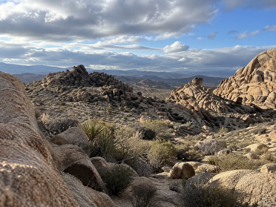
Big Pine Trail

Quiet Joshua tree stroll with easy grades and build-your-own loops.

LENGTH
3.4 mi
TIME
2 hr
DIFFICULTY
Easy
DOGS
Not allowed
Big Pine Trail, Joshua Tree National Park
Image credit: Parkwolf

Pros & cons

PROS

  • Flexible connector for crafting longer, quieter loops in the Maze area
  • Occasional distant views of snow-topped San Gorgonio in late spring

CONS

  • More connector than destination—no single big feature or payoff
  • Sandy washes in places can make the walking feel slower than the stats
PARKING

Park at the Maze Loop/Black Rock trailhead lot near Black Rock Campground and the Backcountry Registration Board.

CAUTION

Extreme sun exposure and heat; start early and carry ample water. Cell service is limited. Expect some sandy wash sections.

Overview

Big Pine Trail is an easy, low-commitment wander through classic Joshua tree habitat in the park’s northern backcountry near the Black Rock area. It’s best thought of as a connector rather than a headliner: a mellow path you can hike out-and-back or use to build longer loops through the Maze network or toward the Boy Scout Trail. Expect gentle grades, wide-open desert, and room to breathe.

Distance and Difficulty

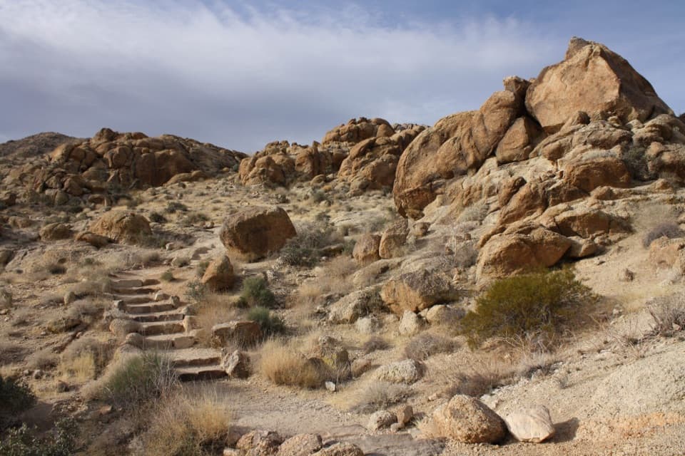
The core hike is about 3.4 miles total out-and-back (1.7 miles each way) with roughly 185 feet of elevation gain. Most hikers will spend around 2 hours including pauses. Terrain is easy: firm desert tread mixed with short sandy washes and occasional rocks.

What You’ll See

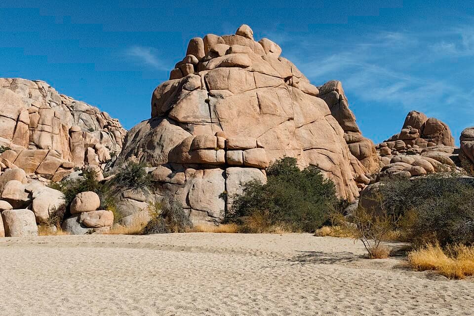
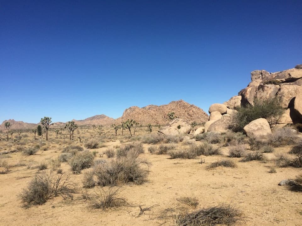
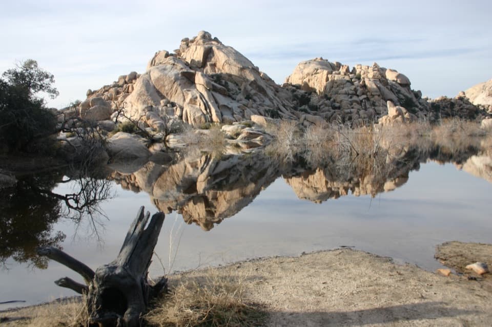
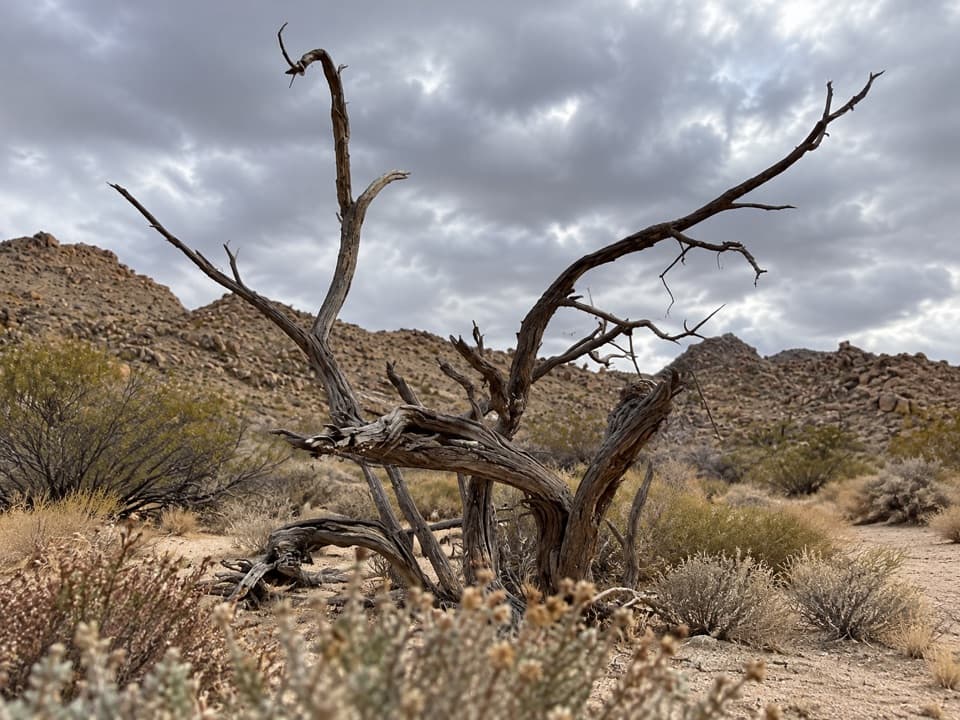
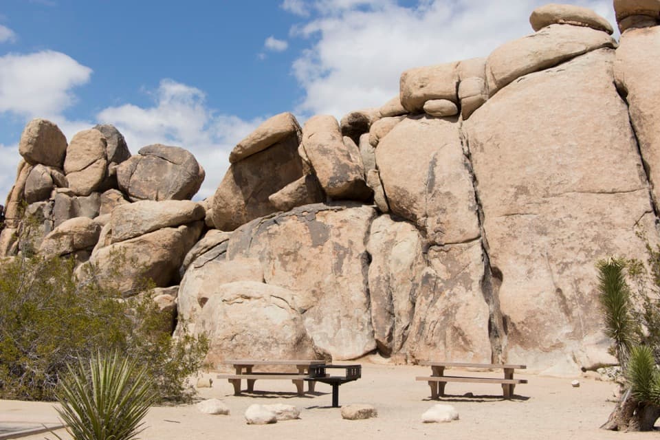
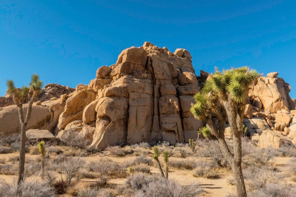
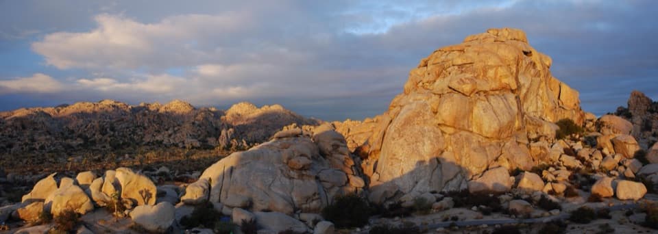
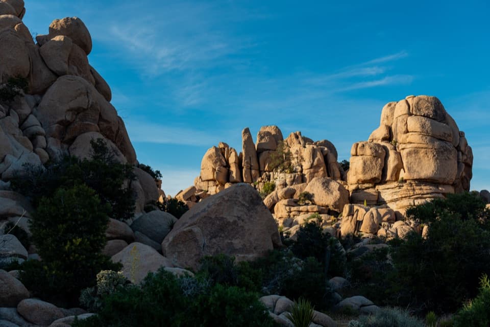
This is quintessential high desert—groves of Joshua trees, yucca, sandy flats, and weathered granite outcrops. On clear days, you may catch distant mountain views; in late spring, snow often lingers on Mount San Gorgonio’s summit. It’s not a “wow” trail for dramatic features, but if you like wide horizons and quiet, it delivers.

Why Hike It (or Skip It)

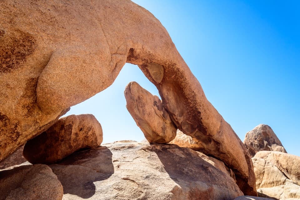
Hike it for solitude and flexibility. As part of the Maze area, Big Pine sees fewer people than the park’s marquee routes, and its junctions make it easy to customize longer, more rugged loops. Skip it if you want a single, signature payoff—there’s no big arch or summit here, and stretches of sand can slow the pace.

Best Time to Hike

Fall through spring offer cooler temps and crisp visibility—prime season for this exposed route. In summer, go very early if you go at all; midday heat can be dangerous. Winter light and cooler air often mean the clearest long-distance views.

Tips

  • Start early and bring real water—plan extra if you’re extending into Maze loops (think 3–4 liters for longer outings).
  • Cell service is spotty; download offline maps before you go.
  • Use Big Pine to link with the Boy Scout Trail or Maze routes if you want to turn an easy stroll into a longer, more varied day.

Access and Rules

Trail access is near Black Rock Campground at the Backcountry Registration Board, with parking at the Maze Loop/Black Rock trailhead area. Day hiking does not require a permit. Pets are not allowed on park trails.

Elevation

3.4 mi · 2 hr
Start · 1242 mHigh point · 1287 mEnd · 1273 m

Where it starts

34.0754, -116.3879
Big Pine Trail

Wildlife on this trail

Near Big Pine Trail

All places →All trails →

More about Big Pine Trail

PARKWOLF TOUR GUIDE

Like a tour guide in your car.

Bring Joshua Tree trail research into the car, with offline maps and stories that play as you drive.
Download Parkwolf on the App StoreGet Parkwolf on Google Play
The Parkwolf tour guide sitting on a phone mounted in a car
Get the Audio Tour Guide for your drive through Joshua TreeOpen Parkwolf