
Place
Moderate
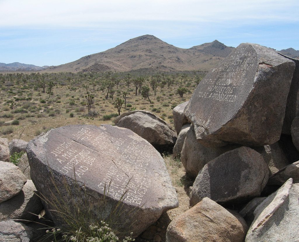
If you like your hikes with a side of mystery, this unmarked cross-country loop delivers. The Samuelson Rocks area is a low granite mound scattered with seven boulders carved in the 1920s by homesteader John Samuelson—philosophy, politics (including a jab at President Hoover), and frontier grit literally etched into desert varnish. Expect classic Joshua tree flats, sandy washes, and quiet views toward Quail Mountain.
There’s no official trail here, just well-traveled cross-country approaches. The commonly hiked loop is about 4.3 miles total, but you’ll see variations. If you prefer an out-and-back, the Park Boulevard approach is roughly 3 miles round-trip, while the Quail Springs route runs about 5 miles round-trip. Terrain is mostly flat with short, easy ascents near the rocks; the challenge is navigation, not elevation. Plan around 1.75–2 hours depending on how long you linger at each inscription.
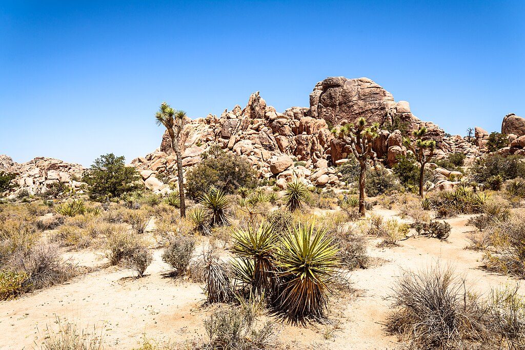
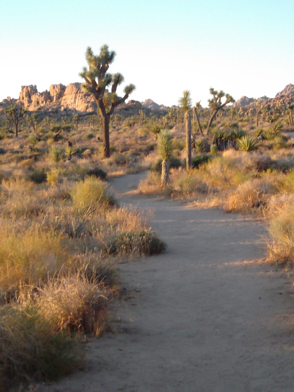
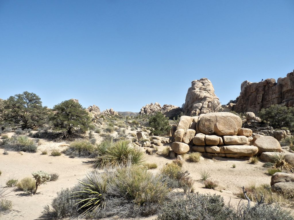
The approach crosses open desert dotted with Joshua trees, scattered boulders, and low hills. As you near the site, the mound comes into focus and the inscriptions appear at the bases and faces of several boulders—eight messages across seven rocks. Poke around for remnants of Samuelson’s homestead era like an old truck and corral. Wildlife is sparse but you might flush a jackrabbit in the washes. Views widen toward the park’s western highlands, including Quail Mountain on the horizon.
There’s no signage and no constructed tread—just washes that branch and rejoin. Bring a downloaded map/GPS track and pay close attention at junctions. The most environmentally friendly line follows the historic Quail Springs wash; wherever you go, stick to durable surfaces (washes and rock) to protect fragile soils. Start early, bring ample water and sun protection, and don’t count on cell service. Take your time among the boulders—the carvings aren’t all obvious at first glance, and half the fun is finding them.
Two practical options: from the west entrance, drive about 3.5–4 miles along Park Boulevard and park near Rocky Knoll, then head cross-country southwest; or start from Quail Springs and follow the wash WNW. Expect a fully exposed approach with no facilities.
October through April is the sweet spot—cooler temps, safer conditions, and softer light for reading the inscriptions and photographing the rock patina. Summer heat routinely pushes past 100°F, making this outing risky and unpleasant. Aim for early morning or late afternoon any time of year for better temps and low-angle light.
For hikers who enjoy solitude, history you can touch, and a little route-finding, absolutely. It’s not a manicured showpiece, and that’s the point—this is a quiet, underrated corner where the journey and the hunt are part of the reward. If you want a well-marked, family-friendly path, pick another trail and save this for a cool day when you’re up for some cross-country exploring.
Park near Rocky Knoll along Park Boulevard (~3.5–4 miles from the west entrance) for a ~3-mile round-trip out-and-back, or use Quail Springs to follow the wash WNW for a ~5-mile round-trip.
No marked trail, no shade, and no cell service. Washes branch and can mislead—carry a downloaded map/GPS and extra water; start early to avoid heat.
Place
Place
Place
Place
Easy
Challenging
Moderate
Easy

Parkwolf Tour Guide
