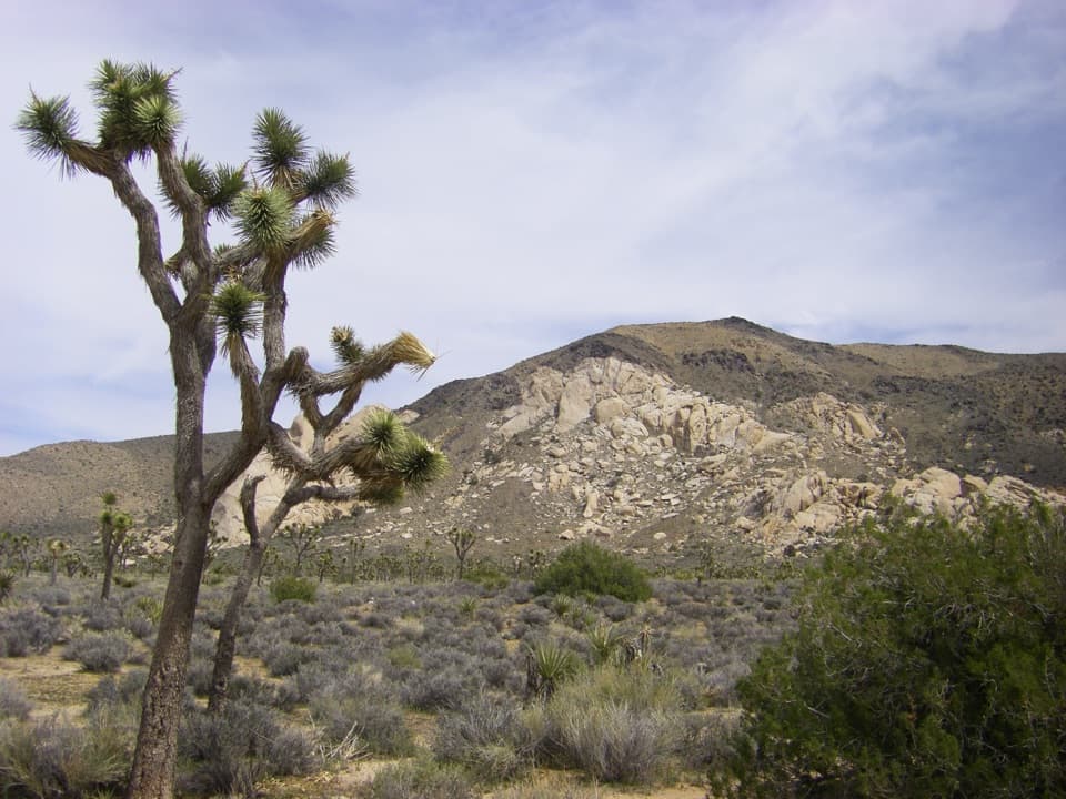
Ryan Mountain Trail in Joshua Tree National Park

#3 of 60 trails in Joshua Tree

Joshua Tree National Park, CA

Ryan Mountain Trail

A steady ridge climb to a 360-degree desert panorama

Photo: Wikimedia Commons
Length
3mi
Time
2hr
Elev. change
1,040ft
Difficulty
Challenging
  • No dogs
  • High point 5,433 ft

Hear the audio tour

Ryan Mountain's Summit and Striped Rock

Overview

About Ryan Mountain Trail

Why go

  • The Wonderland of Rocks comes into view almost immediately.
  • A broad summit panorama over the park and distant mountain ranges.

Heads up

  • A sustained, rocky climb with frequent steps and little shade.
  • The summit may add less than the ridge views for some hikers.

Map & elevation

The route

Loading the Joshua Tree map
Full map
Elevation4,393–5,433 ft
TrailheadRyan Mountain Trailhead34.00253, -116.13593
Keep this map with you offline in the Parkwolf app

Plan your hike

Before you go

Parking

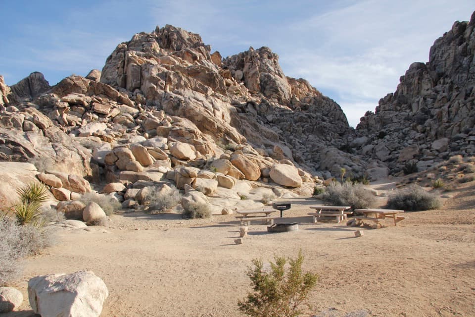
Park at the Ryan Mountain Trailhead lot on Park Boulevard between Ryan Campground and Sheep Pass. Coming east, pass the campground and watch for the lot on the right. Auto and bus/RV parking and restroom facilities are available, including an accessible restroom; the lot can fill on busy days, so arrive early.

Safety

Steep, exposed trail with frequent rock steps and little shade. Summer heat can be dangerous, and the park advises against summer hikes. Carry water and sun protection, and take a warm or windproof layer for the summit. Pets are prohibited on park hiking trails.

5 active Joshua Tree alerts

  • ClosureOasis of Mara Trail closed past the OasisThe Oasis of Mara Trail is closed past the Oasis due to a heavy flooding event; do not continue beyond the Oasis. Check current park conditions before visiting.Official details
  • ClosureSR 62 and US 95 closed by floodingFlooding has closed portions of SR 62 and US 95; avoid the closed segments.Official details
See all 5 alerts
A park ranger sits on a dash-mounted phone, talking, as Parkwolf’s Tour Guide plays “Army Cutworm Moths: A Grizzly Bear Buffet” on Grand Loop Road below Dunraven Pass in Yellowstone
Parkwolf Tour GuideThe highest, rockiest slopes around here are a summer buffet for grizzly bears.

Joshua Tree Tour Guide

Your drive to Ryan Mountain Trail, narrated.

Parkwolf is a GPS audio tour guide for Joshua Tree National Park. As you drive, it chimes in with what’s ahead: hidden gems, upcoming stops, history, geology, and wildlife, right through your car’s speakers.

See the Joshua Tree audio tour

Recorded for this trailhead

Ryan Mountain's Summit and Striped Rock
0:00 / 0:23
“You're approaching the Ryan Mountain trailhead, the start of a climb to a wide panorama over the Wonderland of Rocks and distant mountains.”

Plays as you drive up to this trailhead in the Parkwolf Joshua Tree Tour Guide.

More stories near here in the app

  • Hall of Horrors: Optional Slot Scrambles
  • A Pavement One Stone Thick
  • Oyster Bar: Where Two Rocks Meet
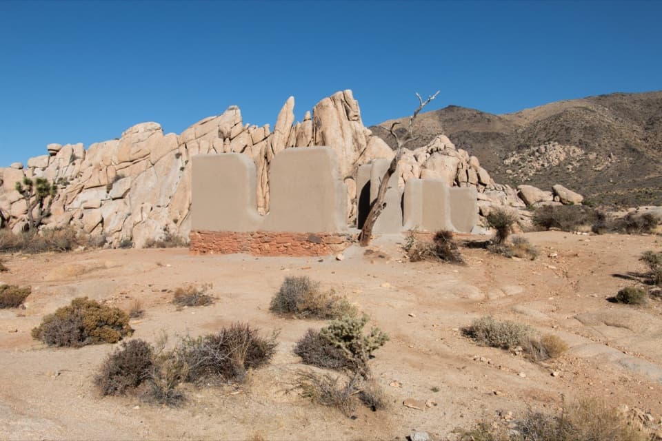
  • Ryan Ranch: Adobe and Mining History
  • 89 audio storiesacross Joshua Tree’s roads, triggered by GPS as you drive
  • Wildlife heatmapsfor Bighorn Sheep, Golden Eagle, Desert Tortoise, and 13 more
  • Works offlinemaps, 60 trails, 64 places, and audio download before you lose signal
  • CarPlay readysimple controls built for the drive
★★★★★
“Fantastic app with many points of information… It’s great to just turn on while you’re driving and it gives you an audio tour of the national Park. We love it!!!!”
JMJamesApp Store review
Download Parkwolf on the App StoreGet Parkwolf on Google Play

4.7 from 8,600+ ratings

Trail guide

Hiking Ryan Mountain Trail

A short hike with a real climbRyan Mountain Trail is a 3-mile (4.

Ryan Mountain Trail is a 3-mile (4.8 km) out-and-back from Ryan Mountain Trailhead to the broad summit. The climb gains about 1,050 feet (320 m) and usually takes 1.5 to 2.5 hours round trip. It is a good pick if you want a summit hike and are ready for a steady, rocky ascent. It draws plenty of hikers, but the views begin before the top; some may find the summit adds less than they expected after the open ridge. This is not a gentle desert stroll.

Start on the rock stepsPark at the Ryan Mountain Trailhead between Ryan Campground and Sheep Pass, on Park Boulevard.

Park at the Ryan Mountain Trailhead between Ryan Campground and Sheep Pass, on Park Boulevard. If you are driving east, pass Ryan Campground and look for the large lot on the right. A rock staircase marks the trail entrance. The dirt tread is well worn, but the footing quickly turns uneven, with rocks and boulders underfoot. The Wonderland of Rocks opens almost immediately to the northwest, so there is a view to look back at even while the first climb is doing its work.

Follow the rounded ridgeThe single-track climbs south along a long, rounded ridge, then threads among smaller, jagged…

The single-track climbs south along a long, rounded ridge, then threads among smaller, jagged boulders as the mountain’s interior opens up. The grade is sustained, and frequent rock steps make the climb feel harder than the mileage suggests. There is little to no shade. As the ridge rolls toward the top, high-looking shoulders can make the summit feel farther away than expected; stay with the well-worn main tread until it reaches the broad high point. Views across the western half of the park keep opening along the way, not just at the end.

Take in the summitThe top is a broad, rocky high point with nearly 360-degree views.

The top is a broad, rocky high point with nearly 360-degree views. Look across the Wonderland of Rocks and Sheephole Wilderness, then toward Mount San Jacinto and Mount San Gorgonio. On a very clear day, the distant view may reach Mexico. Wind and cold can be stronger at the exposed summit than they felt lower down, so bring a warm or windproof layer. For a wide photo, include some of the summit rock in the foreground and let the distant ranges fill the frame.

Read the stripes in the rockRyan Mountain exposes Pinto Gneiss, the park’s oldest rock type, estimated at about 1.

Ryan Mountain exposes Pinto Gneiss, the park’s oldest rock type, estimated at about 1.8 billion years old. Its light and dark bands stand out against the paler monzogranite cliffs and boulders below. The patterned rock is part of the hike, not just scenery at the top: watch for it as the path winds through the mountain’s boulder-strewn ridge.

Plan for desert conditionsDesert bighorn sheep use this area, though sightings are never guaranteed.

Desert bighorn sheep use this area, though sightings are never guaranteed. The trailhead has parking, an information kiosk, and restroom facilities, including an accessible restroom and a vault or composting toilet. No food or water service is identified along the route, so carry what you need. Summer heat makes this hike a poor choice; the park advises against summer ascents and recommends water and sun protection. Pets are not allowed on park hiking trails.

Wildlife

Wildlife in Joshua Tree

All Joshua Tree wildlife maps

Sighting maps show where each species has been reported across Joshua Tree. Wildlife moves, so no sighting is guaranteed.

Keep exploring

Near Ryan Mountain Trail

See it all on the map

Trails that start nearby

Places near the trailhead

Parkwolf’s Joshua Tree ranking

Top-rated trails in Joshua Tree

All 60 trails
  1. 1Hidden Valley Nature TrailEasy · 1 mi
  2. 2Barker Dam Nature TrailEasy · 1.3 mi
  3. 4Fortynine Palms Oasis TrailChallenging · 3 mi
  4. 5Lost Palms Oasis TrailChallenging · 7.5 mi
  5. 6Arch Rock TrailEasy · 1.3 mi
  6. 7Lost Horse Mine TrailModerate · 4 mi

Take Parkwolf to Joshua Tree.

The audio tour guide for the drive, plus offline maps, trails, and wildlife heatmaps for when the signal drops.

4.7 from 8,600+ ratings

Download Parkwolf on the App StoreGet Parkwolf on Google Play