Ryan Mountain in Joshua Tree National Park

#7 of 43 sights in Joshua Tree

Sight · Joshua Tree National Park

Ryan Mountain

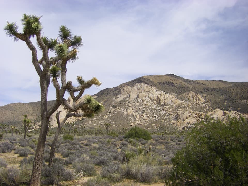
Climb through ancient banded rock for a 360-degree summit view.

Photo: National Park Service
Type
Sight
Nearest trail
0.9 mi
Audio stories
9 nearby
  • Trailhead
  • Scenic viewpoint
  • Parking
  • Restrooms

Hear the audio tour

Ryan Mountain's Summit and Striped Rock

Overview

About Ryan Mountain

Why stop

  • Panorama includes the Wonderland of Rocks and distant mountain ranges

Heads up

  • Little shade, steep sections, and many steps make it a demanding hike

Map

Where it is

Loading the Joshua Tree map
Full map
SightRyan Mountain33.98612, -116.13473
Keep this map with you offline in the Parkwolf app

Plan your stop

Before you go

5 active Joshua Tree alerts

  • ClosureOasis of Mara Trail closed past the OasisThe Oasis of Mara Trail is closed past the Oasis due to a heavy flooding event; do not continue beyond the Oasis. Check current park conditions before visiting.Official details
  • ClosureSR 62 and US 95 closed by floodingFlooding has closed portions of SR 62 and US 95; avoid the closed segments.Official details
See all 5 alerts
A park ranger sits on a dash-mounted phone, talking, as Parkwolf’s Tour Guide plays “Army Cutworm Moths: A Grizzly Bear Buffet” on Grand Loop Road below Dunraven Pass in Yellowstone
Parkwolf Tour GuideThe highest, rockiest slopes around here are a summer buffet for grizzly bears.

Joshua Tree Tour Guide

Your drive to Ryan Mountain, narrated.

Parkwolf is a GPS audio tour guide for Joshua Tree National Park. As you drive, it chimes in with what’s ahead: hidden gems, upcoming stops, history, geology, and wildlife, right through your car’s speakers.

See the Joshua Tree audio tour

Recorded for this place

Ryan Mountain's Summit and Striped Rock
0:00 / 0:23
“You're approaching the Ryan Mountain trailhead, the start of a climb to a wide panorama over the Wonderland of Rocks and distant mountains.”

Plays as you drive up to Ryan Mountain in the Parkwolf Joshua Tree Tour Guide.

More stories near here in the app

  • Oyster Bar: Where Two Rocks Meet
  • Hall of Horrors: Optional Slot Scrambles
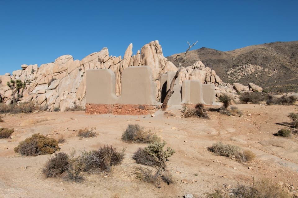
  • Ryan Ranch: Adobe and Mining History
  • Ryan Campground Among the Joshua Trees
  • 89 audio storiesacross Joshua Tree’s roads, triggered by GPS as you drive
  • Wildlife heatmapsfor Bighorn Sheep, Golden Eagle, Desert Tortoise, and 13 more
  • Works offlinemaps, 60 trails, 64 places, and audio download before you lose signal
  • CarPlay readysimple controls built for the drive
★★★★★
“Fantastic app with many points of information… It’s great to just turn on while you’re driving and it gives you an audio tour of the national Park. We love it!!!!”
JMJamesApp Store review
Download Parkwolf on the App StoreGet Parkwolf on Google Play

4.7 from 8,600+ ratings

Guide

More about Ryan Mountain

A hard climb with a clear payoffRyan Mountain is a summit hike in central Joshua Tree, known for its wide view across the park…

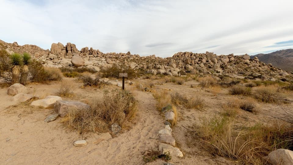
Ryan Mountain is a summit hike in central Joshua Tree, known for its wide view across the park and surrounding ranges. The route is a 3-mile out-and-back with about 1,050 feet of climbing; allow two to three hours for the round trip. Choose it for a proper climb and a big panorama, not as a quick roadside stop.

The trail starts relatively gently, then climbs quickly over rough dirt and rock, with many steps and steep stretches. There's very little shade, so avoid hot conditions and bring enough water and sun protection for the exposed ascent and descent.

Start on Park BoulevardThe main trailhead is on Park Boulevard between Ryan Campground and Sheep Pass Campground.

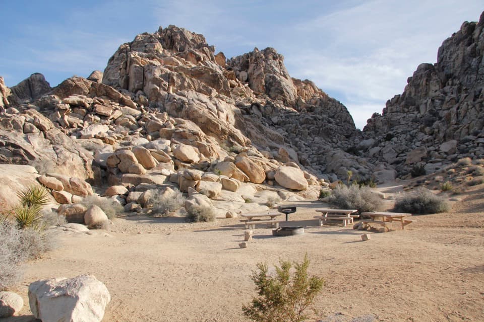
The main trailhead is on Park Boulevard between Ryan Campground and Sheep Pass Campground. Its parking area can fill on busy days, so an early start helps. There is an accessible vault or composting restroom at the trailhead. Sheep Pass has a secondary route for campers, but non-campers can't park there. Pets aren't allowed on the trail.

Take in the full circleFrom the summit, the view sweeps over the Wonderland of Rocks and Sheephole Wilderness, with…

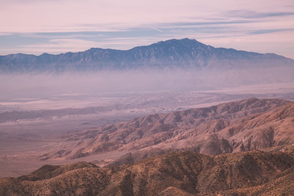
From the summit, the view sweeps over the Wonderland of Rocks and Sheephole Wilderness, with Mount San Jacinto and Mount San Gorgonio on the horizon. On a clear day, the view may reach Mexico. The summit marker makes a useful foreground for a photo of the broad panorama.

Read the bands in the rockThe trail crosses Pinto Gneiss, a dark-and-light banded rock that dates to about 1.

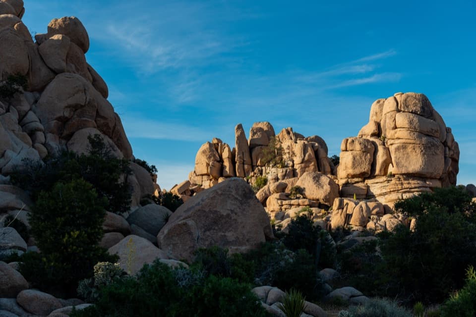
The trail crosses Pinto Gneiss, a dark-and-light banded rock that dates to about 1.8 billion years ago and is described as the oldest rock type in the park. One banded slab by the trail shows light veins where aplite, a mix of quartz and feldspar, filled fractures in the gneiss. These rocks formed deep in the crust and were exposed by uplift and erosion.

Watch the slopesRyan Mountain is desert bighorn sheep habitat.

Ryan Mountain is desert bighorn sheep habitat. A sighting isn't guaranteed, but the open slopes are worth scanning as you climb and descend. The wide view is the main reward; wildlife is a bonus.

Wildlife

Wildlife in Joshua Tree

All Joshua Tree wildlife maps

Sighting maps show where each species has been reported across Joshua Tree. Wildlife moves, so no sighting is guaranteed.

Keep exploring

Near Ryan Mountain

See it all on the map

Trails nearby

More stops nearby

Parkwolf’s Joshua Tree ranking

Top sights in Joshua Tree

All 64 places
  1. 1Keys ViewSight
  2. 2Skull RockSight
  3. 3Cholla Cactus GardenSight
  4. 4Arch RockSight
  5. 5Barker DamSight
  6. 6Keys RanchSight

Take Parkwolf to Joshua Tree.

The audio tour guide for the drive, plus offline maps, trails, and wildlife heatmaps for when the signal drops.

4.7 from 8,600+ ratings

Download Parkwolf on the App StoreGet Parkwolf on Google Play