Place · 3.1 mi away

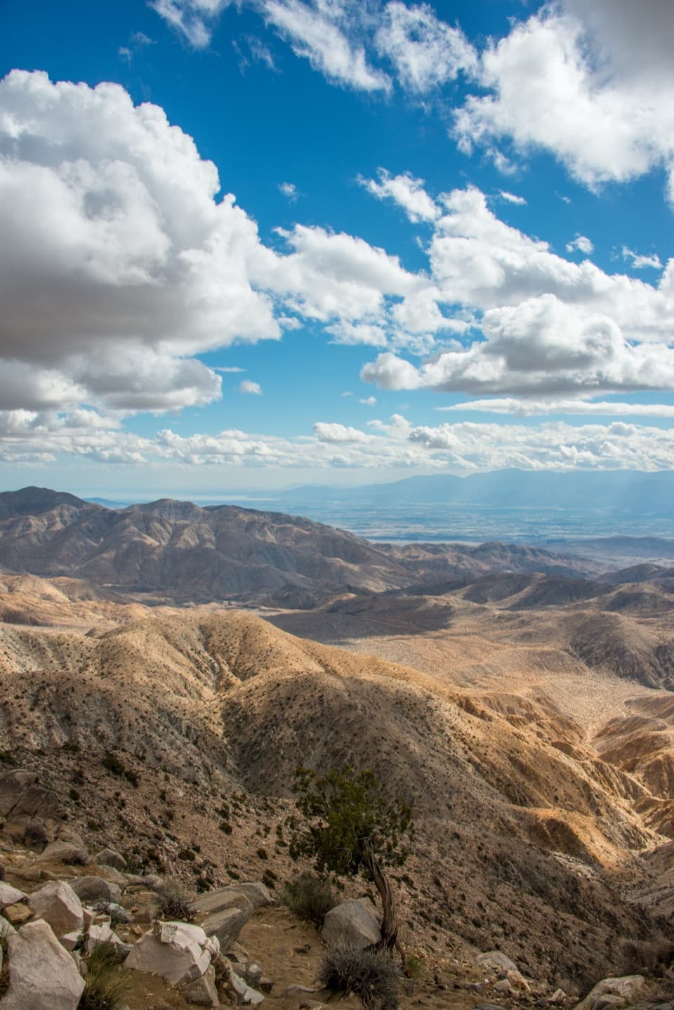
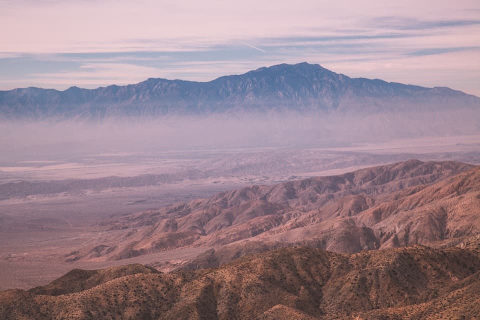
Keys View is the park’s drive-up ridgeline overlook at about 5,185 feet, reached at the end of Keys View Road in roughly 20–25 minutes from Park Boulevard. It’s popular for a reason: the panorama sweeps across the Coachella Valley to the Salton Sea, with Mount San Jacinto and San Gorgonio framing the horizon on clear days.
From the railing you can scan a desert-to-mountains tapestry—Palm Springs far below, the white salt flats of the Salton Sea shimmering to the southeast, and layers of the Little San Bernardino Mountains. On exceptionally clear days, some visitors report spotting Mount Signal far to the south.
This is one of the best easy stops to contemplate tectonics: the trace of the San Andreas Fault is visible from here. Interpretive panels (including tactile maps) help you make sense of the ridges, valleys, and fault lines you’re looking at.
There are two main vantage points—Lower and Upper Keys View—connected by a short, paved path. A brief ridge loop of about 0.2 miles gives slightly different angles and a bit of elevation for broader sightlines. It’s an easy, quick stop that delivers big scenery without a major hike.
Sunrise and sunset are prime; low-angle light carves depth into the valley and mountains. Midday can be harsh and hazy. After a rain, visibility often improves dramatically. Expect more people near sunset—arrive early if that’s your goal.
There’s a parking lot at the road’s end and vault toilets on site, but no running water. It can be blustery and several degrees cooler than lower elevations, so bring a layer. Sun protection is essential; shade is minimal.
This spot is about the vista, not wildlife. You might notice lizards or passing birds around the rocks and shrubs, but sightings are incidental at the busy overlook.
Keys View takes its name from William F. Keys, a noted local rancher and miner. Set on the crest of the Little San Bernardino Mountains, it’s a quick, high-reward stop that many first-time visitors consider a must.