Parking
Start at the Burrungkuy (Nourlangie) parking area; toilets are beside the walk access.
#2 of 26 trails in Kakadu
Kakadu National Park, NT
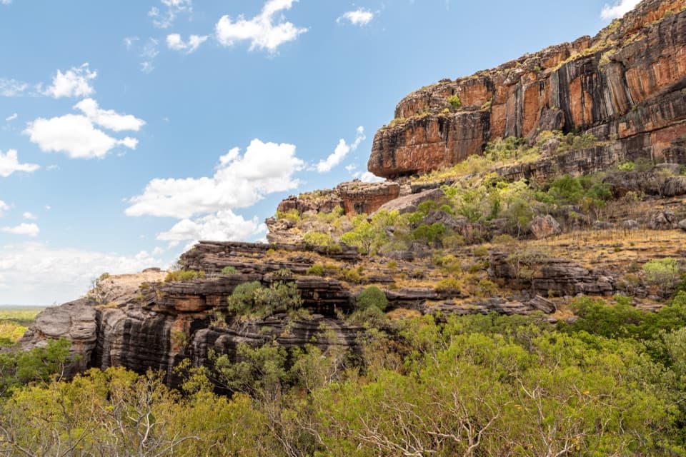
Rock art, an ancient shelter, and escarpment views on Kakadu’s short loop.
Photo: Dietmar Rabich / Wikimedia Commons / “Kakadu (AU), Kakadu National Park, Gunwarrdehwarrde Lookout -- 2019 -- 4118” / CC BY-SA 4.0
Overview
Map & elevation
Plan your hike

The highest, rockiest slopes around here are a summer buffet for grizzly bears.
Kakadu Tour Guide
Parkwolf is a GPS audio tour guide for Kakadu National Park. As you drive, it chimes in with what’s ahead: hidden gems, upcoming stops, history, geology, and wildlife, right through your car’s speakers.
See the Kakadu audio tourRecorded for this trailhead
Burrungkuy’s Changing Gallery“You're approaching Burrungkuy, also known as Nourlangie, with rock art, a huge overhanging shelter, and a lookout toward the Arnhem Land escarpment. Give the full visit about two hours.”
Plays as you drive up to this trailhead in the Parkwolf Kakadu Tour Guide.
More stories near here in the app
“Fantastic app with many points of information… It’s great to just turn on while you’re driving and it gives you an audio tour of the national Park. We love it!!!!”


Trail guide
Burrungkuy (Nourlangie) Walk links Anbangbang Shelter and Gallery with Kunwarddewardde Lookout on a circuit from the Nourlangie parking area. The complete connected line, including the shared approach repeated on the return, measures about 1.17 miles (1.88 km). Published figures both say 1.5 km, but one labels the walk a return while the map draws a circuit. Because the full mapped route includes that access, plan for the longer trace. Allow about two hours to walk and spend time at the art. The lower approach reaches the main gallery without requiring the lookout climb; that approach is wheelchair accessible, while the whole loop is not confirmed accessible.
People have come to Anbangbang Shelter for at least 6,000 years, with occasional use reaching back 20,000 years. Its dry conditions preserved organic objects that rarely survive in the region’s hot, wet climate. Take a moment to look at the shelter as a place people returned to and lived in, not just a backdrop for the paintings nearby.
“Burrungkuy” names the rocky parts of this country; the lower areas are called Anbangbang. The walk connects those settings, from the shelter and gallery below to the higher lookout. From there the sandstone escarpment rises above open savanna woodland, so the walk’s main payoff is the way the whole landscape comes together from the art sites.
Anbangbang Gallery holds several artistic styles and eras. Look for Namarrkon, the Lightning Man, depictions of European sailing ships from first contact, and x-ray paintings of animals and fish. Nayombolmi, also known as Barramundi Charlie, returned to repaint works here in 1964. Earlier photographs taken in 1962 show that the upper paintings were added later, a rare dated view of how the gallery changed. Stay behind barriers and never touch the rock art.
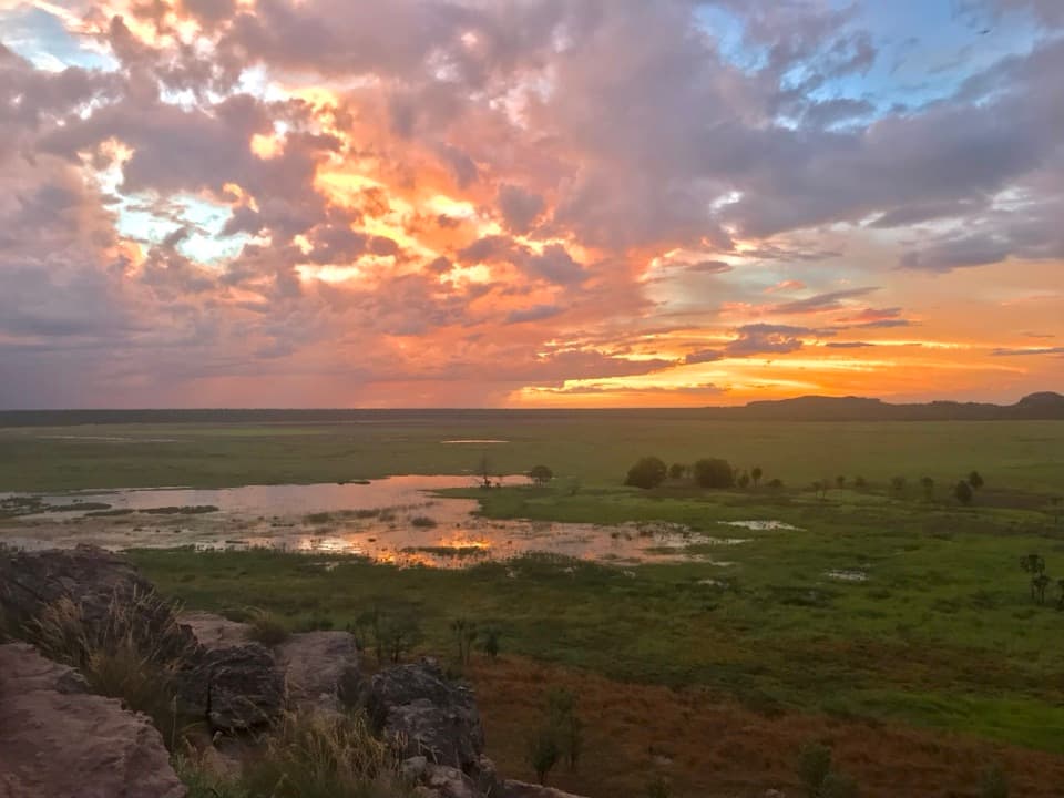
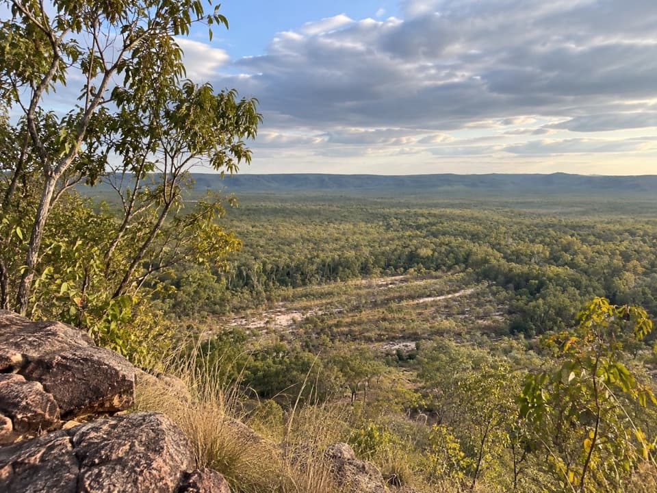
The climb opens onto a broad view of the Arnhem Land escarpment and savanna woodland. This is the walk’s signature outlook: include the green woodland below the layered sandstone in a photo to show the scale of the cliffs. The view also reaches Lightning Dreaming, associated with Namarrkon, a Creation Ancestor connected with tropical storms.
Listen for helmeted friarbirds and spangled drongos on the way up, and watch the canopy for emerald doves and banded fruit-doves. Chestnut-quilled rock pigeons and black wallaroos are among the animals that may be encountered, though sightings are never guaranteed.
A Kakadu park pass is required. Domestic pets are not allowed in the park; guide, hearing and assistance dogs are permitted on a leash no longer than three metres. Kakadu’s visitor guidance recommends starting before 8 a.m. to avoid the heat and carrying at least one litre of water per person per hour. Keep to marked tracks and behind barriers so the paintings and shelter are protected.
Wildlife
 1,126 sightingsSaltwater CrocodileMost seen around 7 AMSighting map
 122 sightingsWater BuffaloMost seen around 6 AMSighting map
 77 sightingsFrilled DragonMost seen around 7 AMSighting map
 118 sightingsRed-tailed Black CockatooMost seen around 7 AMSighting map
 108 sightingsBrolgaMost seen around 7 AMSighting map
 310 sightingsMagpie GooseMost seen around 5 PMSighting map
Sighting maps show where each species has been reported across Kakadu. Wildlife moves, so no sighting is guaranteed.
Keep exploring
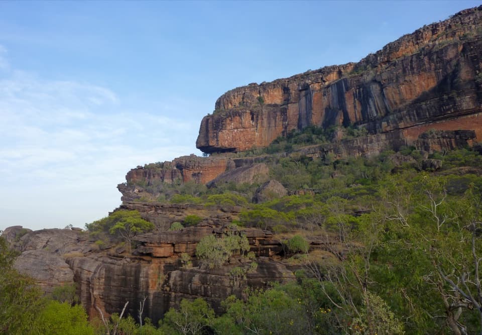 ChallengingBarrk Sandstone Walk12 km · 6 hr · 0.6 km awayA rugged sandstone circuit to rock art and western cliff views
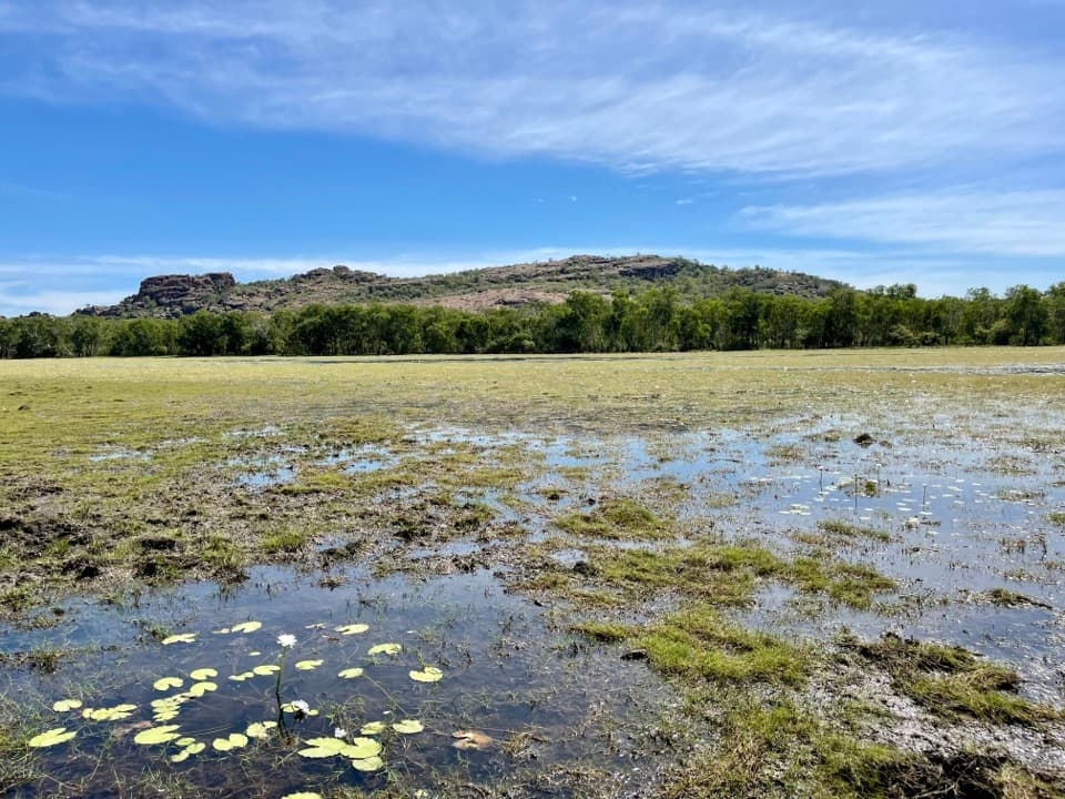 EasyAnbangbang Billabong Walk2.5 km · 1 hr · 1.9 km awayA quiet billabong loop beneath Kakadu’s Nourlangie escarpment
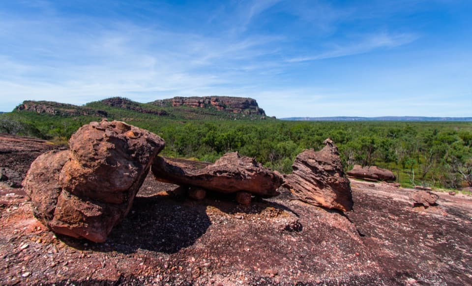 ModerateNawurlandja Lookout Walk0.6 km · 40 min · 2 km awayA steep sandstone climb opens above the billabong.
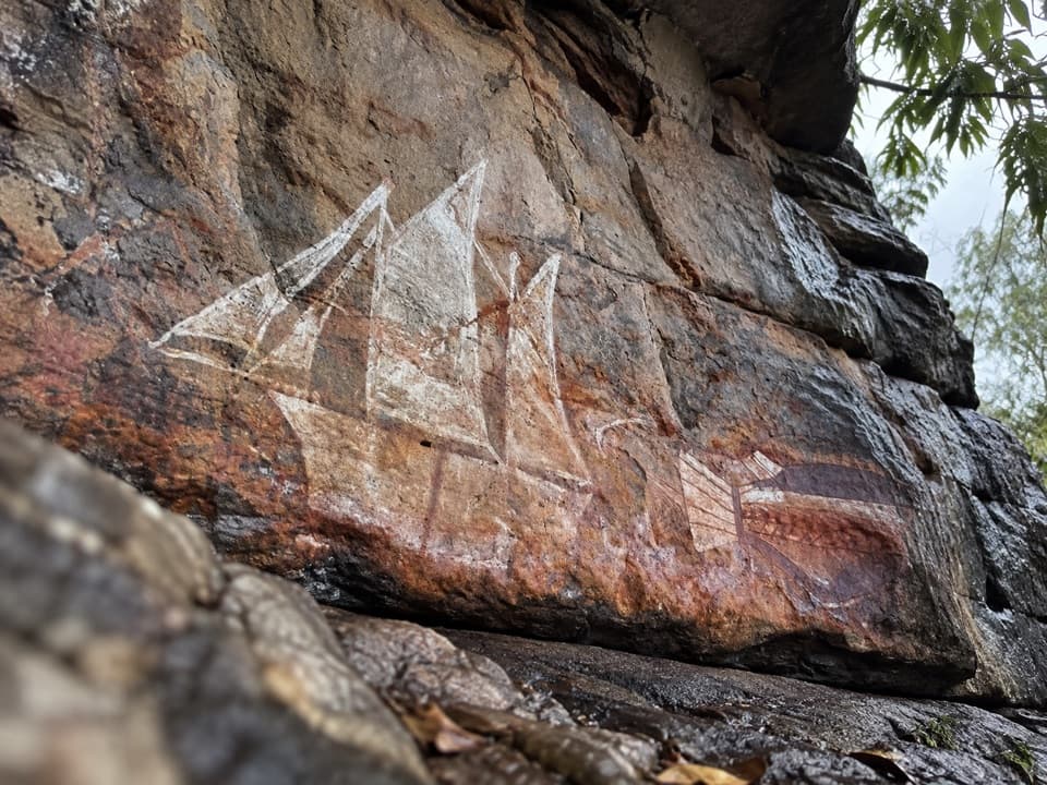 EasyNanguluwurr Art Site Walk3.8 km · 2 hr · 4.1 km awayA woodland walk to a ship painted on stone.
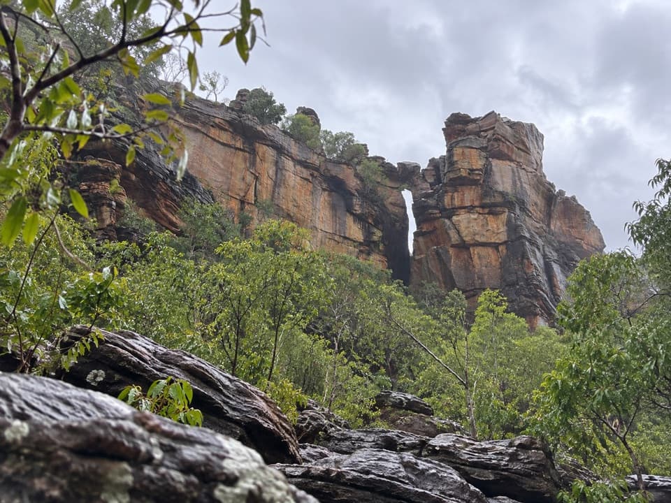 ModerateKubara Pools Walk6 km · 4 hr · 6 km awaySavanna, sandstone and rainforest lead to pools beneath the escarpment.
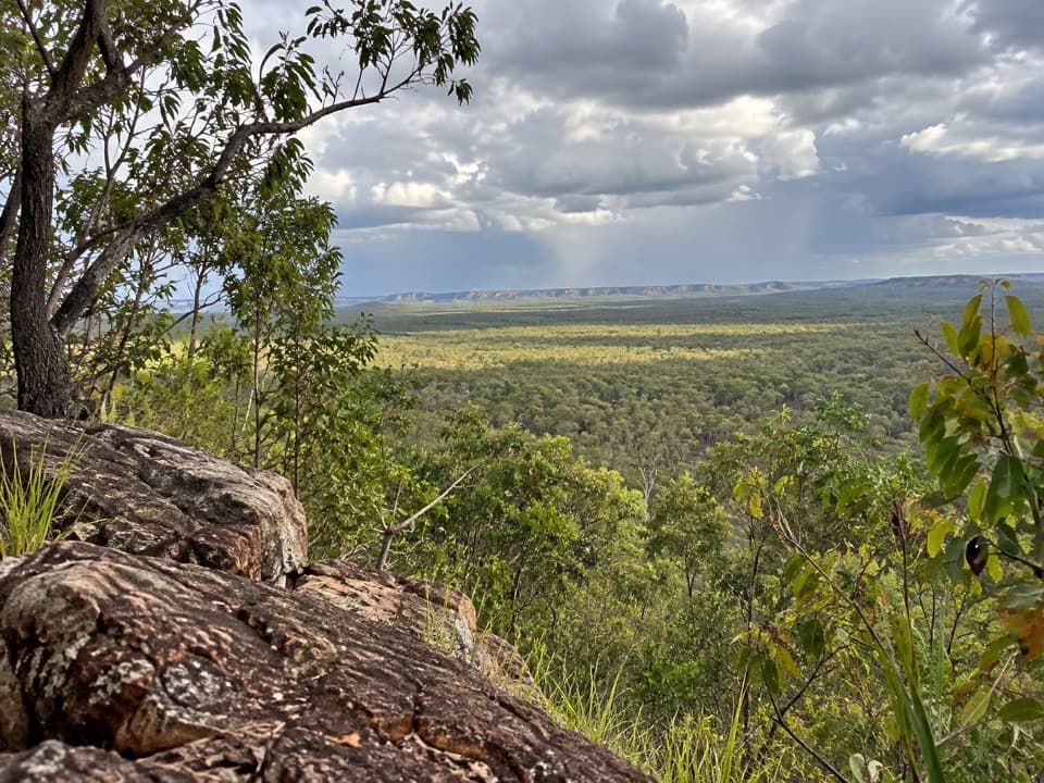 ModerateMirray Lookout Walk2 km · 1.5 hr · 11 km awayA short, steep climb to a view through trees.
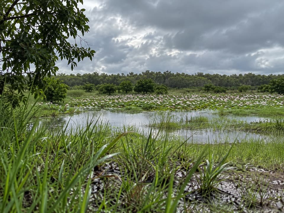 EasyYilikadjarr Walk3.8 km · 1 hr · 12.9 km awayA floodplain loop where waterbirds gather beside Burdulba Creek.
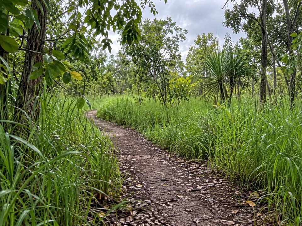 EasyBowali Track4 km · 1.3 hr · 22 km awayAn easy woodland route from Jabiru to Bowali’s visitor centre.
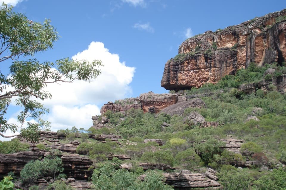 Sight · At the trailheadBurrungkuy (Nourlangie)Art in a shady shelter, then a short climb to escarpment views.
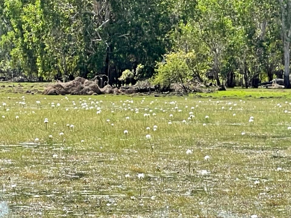 Sight · 1.9 km awayAnbangbang BillabongA quiet loop for waterbirds beneath Burrungkuy’s sandstone escarpment.Sight · 2.2 km awayNawurlandja LookoutA short, steep climb opens onto a billabong-and-escarpment panorama.
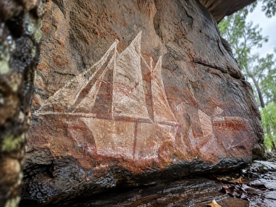 Sight · 2.7 km awayNanguluwurr Art SiteA ship on stone, reached by a worthwhile two-hour walk.
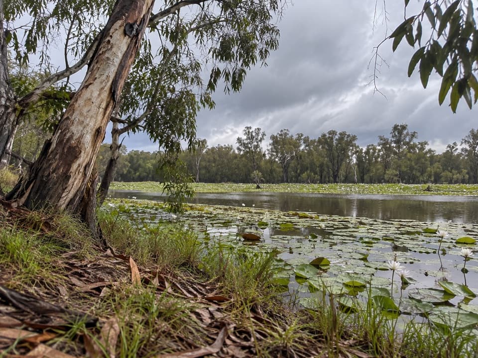 Campground · 5.7 km awaySandy Billabong (Djirrilba) CampgroundCamp beside waterlilies and watch Kakadu's wetland birds.
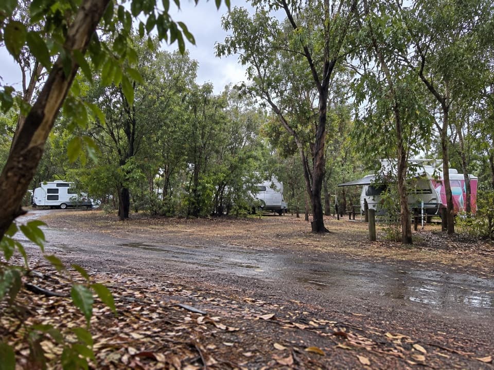 Campground · 6.4 km awayDjarradjin (Muirella Park) CampgroundA quiet camp with showers and a boat ramp to Djarradjin Billabong.
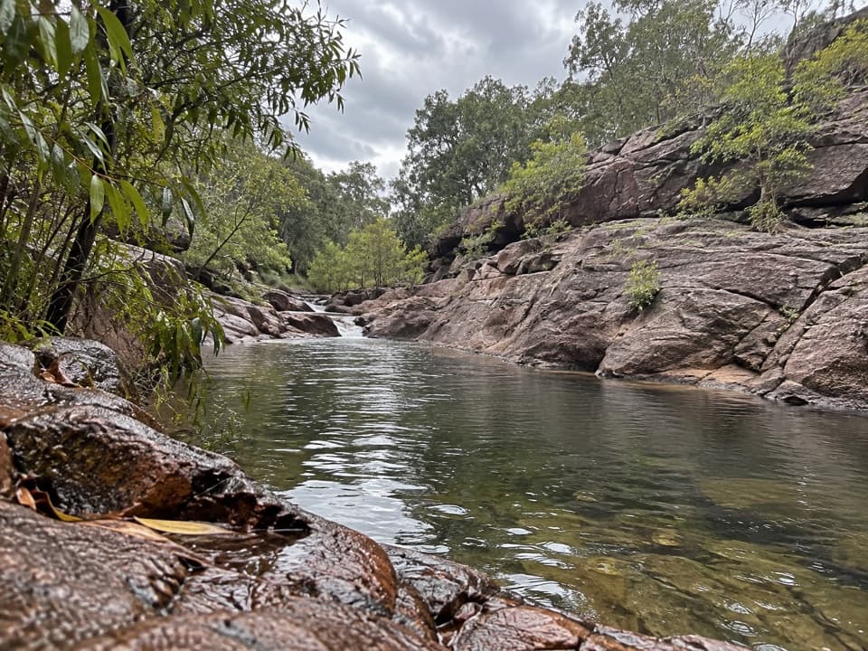 Sight · 8.5 km awayKubara PoolsA half-day walk to shaded pools beneath the escarpment.
 Sight · 11.6 km awayMirray LookoutA steep climb to a tree-framed escarpment view
Parkwolf’s Kakadu ranking

The audio tour guide for the drive, plus offline maps, trails, and wildlife heatmaps for when the signal drops.