Parking
Signed Nawurlandja Carpark off Nourlangie Access Road; toilets are available at the nearby Nourlangie carpark.
#6 of 35 trails in Kakadu
Kakadu National Park, NT
Short, steep stroll to Kakadu’s go-to sunset panorama
Overview
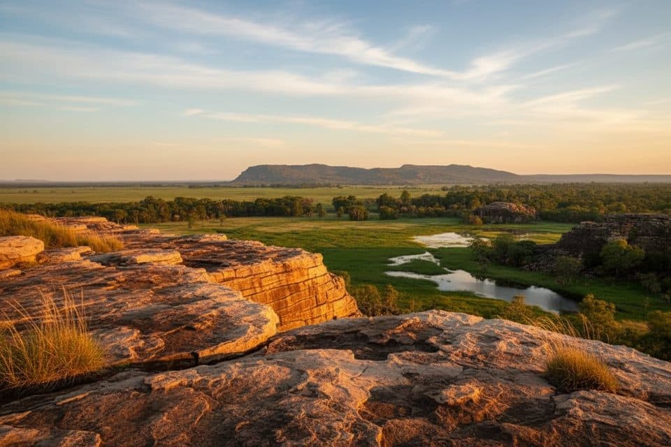
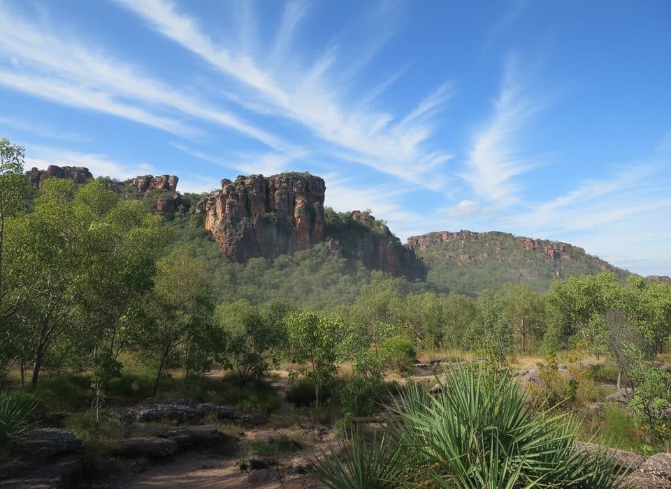
From Nawurlandja Carpark, this short, steep Grade 3 walk climbs a rocky slope about 0.3 km one way to a lookout above Anbangbang Billabong, with views to Burrungkuy (Nourlangie) and the Arnhem Land escarpment. Allow about 40 minutes for the 0.6 km (0.37 mile) return walk. The mapped line follows the signed footway from the carpark toward the lookout; the out-and-back corridor is stored once, while the listed length is the visitor's total return distance.
The first section is a short dirt path before the track becomes uneven rock. Take care on the slope, especially after rain, and expect little shade at the lookout. Carry water and avoid the hottest part of the day. Stay on marked paths and respect this living cultural landscape and the nearby rock art sites.
Parking is at the signed Nawurlandja Carpark off Nourlangie Access Road; toilets are available at the nearby Nourlangie carpark. No pets are allowed. A Kakadu National Park Pass is required. The walk is Grade 3 (moderate) and is not wheelchair accessible.
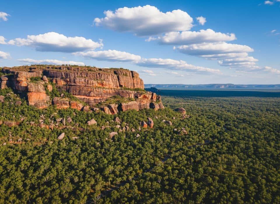
The panoramic view over the savanna woodlands, Anbangbang Billabong, Burrungkuy (Nourlangie) and the Arnhem Land escarpment is especially rewarding in the morning or late afternoon. Pair it with the Anbangbang Billabong walk if you want a longer outing.
Map & elevation
Plan your hike

The highest, rockiest slopes around here are a summer buffet for grizzly bears.
Kakadu Tour Guide
Parkwolf is a GPS audio tour guide for Kakadu National Park. As you drive, it chimes in with what’s ahead: hidden gems, upcoming stops, history, geology, and wildlife, right through your car’s speakers.
See the Kakadu audio tourRecorded for this trailhead
Nawurlandja Lookout: A Top Sunset Spot“The turn-off just ahead is for Nawurlandja Lookout. If you're looking for a massive view without a huge hike, this is the place. The walk is a short but steep climb up a sloped rock face to reach the top.”
Plays as you drive up to this trailhead in the Parkwolf Kakadu Tour Guide.
More stories near here in the app
“Fantastic app with many points of information… It’s great to just turn on while you’re driving and it gives you an audio tour of the national Park. We love it!!!!”


Wildlife
 1,079 sightingsSaltwater CrocodileMost seen around 7 AMSighting map
 121 sightingsWater BuffaloMost seen around 6 AMSighting map
 76 sightingsFrilled DragonMost seen around 7 AMSighting map
 116 sightingsRed-tailed Black CockatooMost seen around 7 AMSighting map
 101 sightingsBrolgaMost seen around 7 AMSighting map
 299 sightingsMagpie GooseMost seen around 5 PMSighting map
Sighting maps show where each species has been reported across Kakadu. Wildlife moves, so no sighting is guaranteed.
Keep exploring
 EasyAnbangbang Billabong Walk2.5 km · 1 hr · 0.6 km awayA serene billabong loop with big escarpment views and rich birdlife
 ChallengingBarrk Sandstone Walk12.1 km · 6 hr · 1.9 km awayA difficult 12 km loop through Burrungkuy sandstone country and Nanguluwurr rock art
 EasyNourlangia Art Walk2.3 km · 2 hr · 1.9 km awayWorld-class rock art and big escarpment views in a 2.3 km circuitEasyBurrungkuy (Nourlangie) Rock Art Walk1.5 km · 2 hr · 2 km awayA short circuit through Burrungkuy's rock art shelters and Kunwarddewardde Lookout
 EasyNanguluwurr Rock Art Walk3.4 km · 2 hr · 3.3 km awayQuiet woodland stroll to an underrated rock art gallery
 EasyBubba Wetlands Walk4.2 km · 2 hr · 4.6 km awayEasy loop through classic Kakadu wetlands with standout birdlifeModerateGubara Pools Walk6.1 km · 4 hr · 7.5 km awayShady spring-fed pools after a hot, quiet walk through sandstone countryModerateMirray Lookout Walk2 km · 1.5 hr · 9.1 km awayShort, steep return walk to a Mount Cahill lookout over Kakadu’s Stone Country
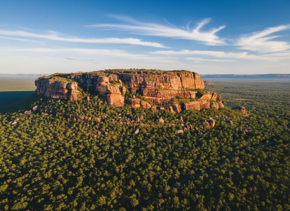 Sight · 0.2 km awayNawurlandja LookoutShort, steep climb to big Arnhem Land escarpment sunset views
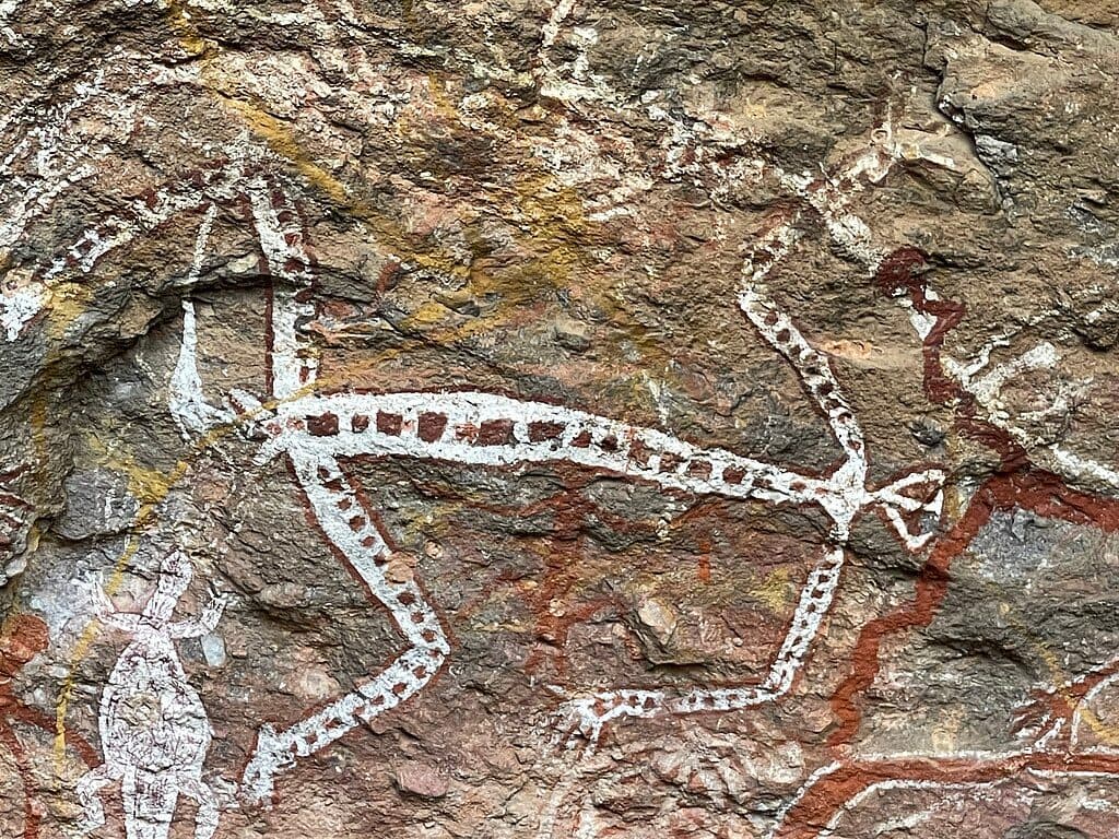 Sight · 1.9 km awayNourlangie Rock Art Site (Burrungkuy)Ancient rock art and a short walk to sweeping escarpment views
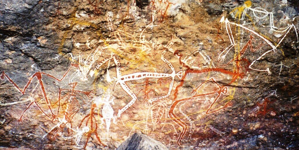 Sight · 2.2 km awayAnbangbang GallerySignature rock art panels on a short, easy walk
 Sight · 2.3 km awayGunwarddehwardde LookoutShort walk to sweeping escarpment and billabong views
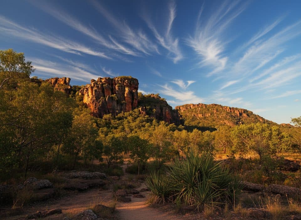 Sight · 3.3 km awayNanguluwurQuiet rock art gallery with rare ship painting and woodland walk
 Campground · 4.4 km awayMuirella ParkBushy, central base with hot showers and billabong wildlife
 Sight · 4.5 km awayDjarradjin BillabongQuiet billabong loop for birdlife, lilies, and sunset reflections
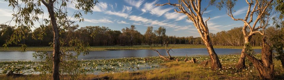 Campground · 5.1 km awaySandy BillabongQuiet billabong bush camp with big sky sunrises and birdlife
Parkwolf’s Kakadu ranking

The audio tour guide for the drive, plus offline maps, trails, and wildlife heatmaps for when the signal drops.