
Place · 0 mi away
Challenging
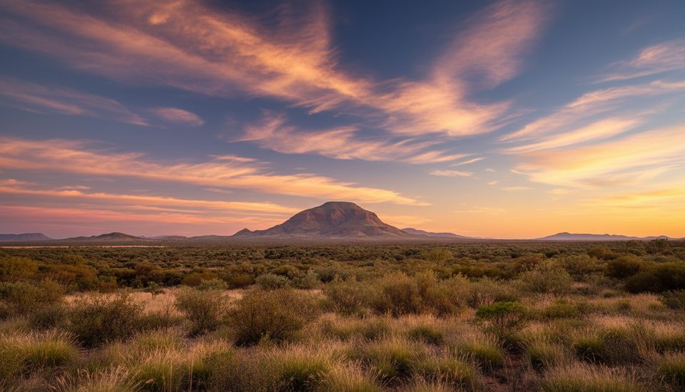
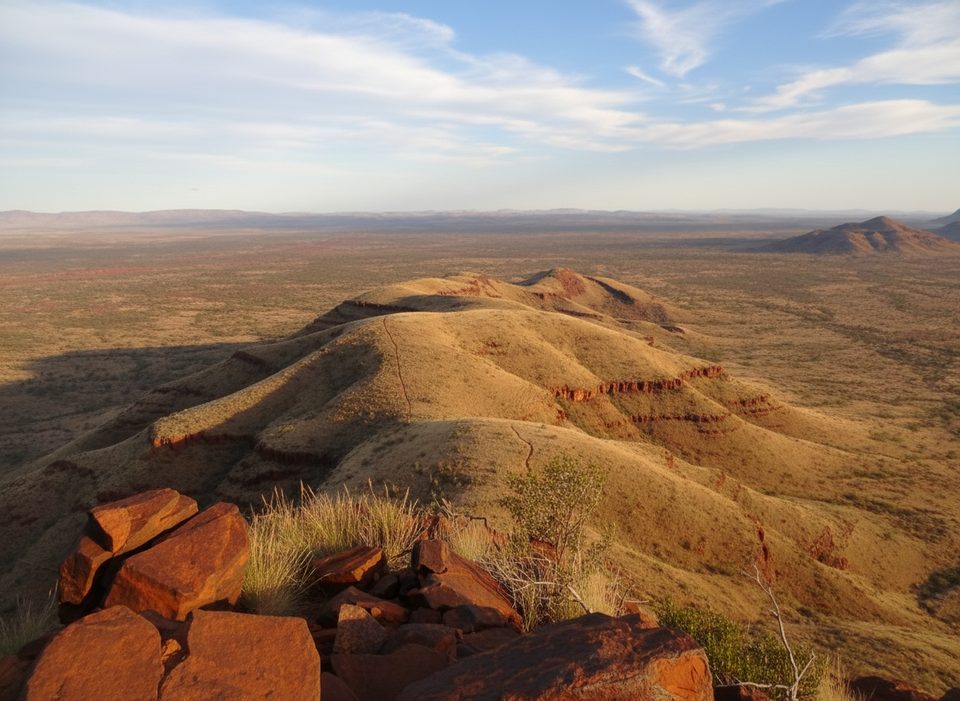
This is Karijini’s big ridge climb—an exposed, Grade 5 out‑and‑back to the 1,249 m summit of Mount Bruce (Punurrunha), Western Australia’s second‑highest peak. Expect a demanding 9 km (about 5.6 miles) total return with long, sustained ascent, rough footing, and sections of hands‑on scrambling. The payoff is enormous: wide‑open views over the red Hamersley Ranges and a stark look into the Marandoo iron‑ore operations.
From the Mount Bruce car park on Karijini Drive, the first leg to Marandoo View is comparatively friendly—good footing and early panoramas. Beyond that, the ridge steepens into rocky switchbacks, slabby steps, and boulder scrambles. A short, narrow ledge with a fixed chain adds a flash of exposure before easier but still rugged climbing to the summit. Wayfinding is generally straightforward but signage thins out in the tougher sections, so pay attention to markers and your line.
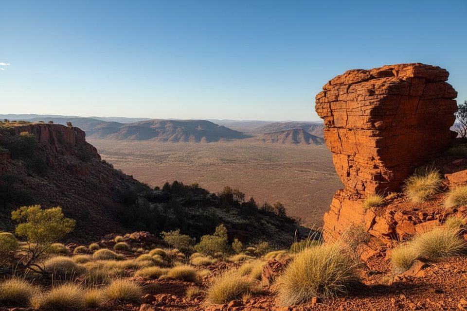
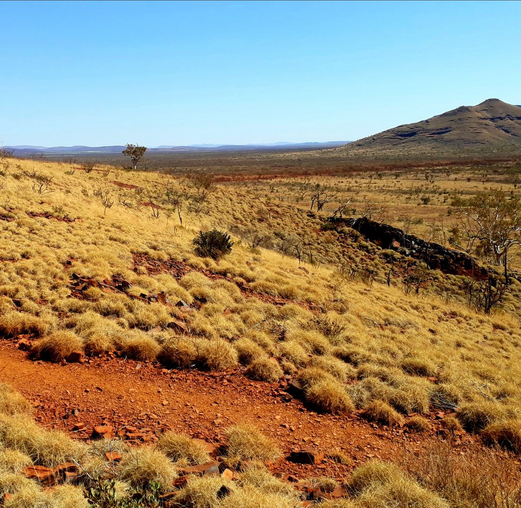
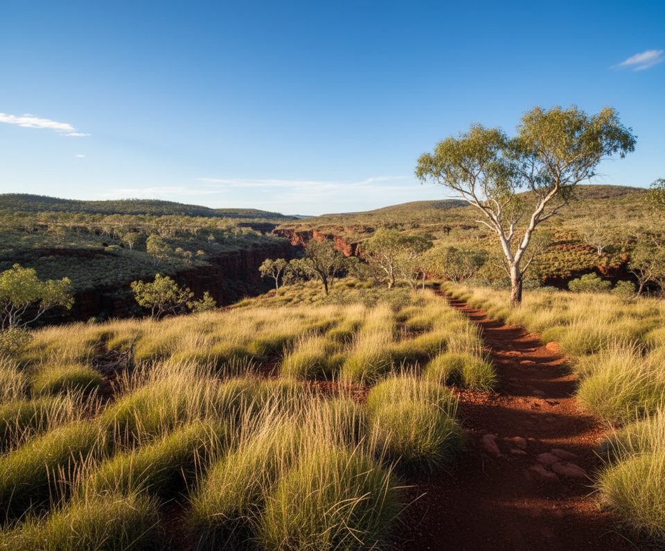
This is classic Pilbara country: iron‑rich, red rock, spinifex grass, and big skies. The summit delivers 360‑degree views across the Hamersley, with the contrast of wild ranges and nearby mining activity. Along the way, watch for interesting rock formations and changing textures underfoot—good reminders to keep your eyes where your boots are.
Aim for the cool season—May through August is most comfortable, with many hikers targeting June–August. October through March often brings extreme heat, regularly pushing into the 35–40°C range and beyond. If you must go in warmer months, start at first light and plan generous turnaround margins. Midday sun is fierce and there’s virtually no shade.
This is a serious effort: carry at least 3–4 liters of water per person (more in heat), sun protection (hat, sunglasses, SPF 30+), and grippy footwear. A fly net can save your sanity. If anyone in the group is uneasy with heights, treat the chain‑assisted ledge as a firm decision point. Facilities at the trailhead include an information shelter, lookouts, and public toilets. National park entry fees apply, and pets and fires are not permitted. If conditions or energy fade, Marandoo View makes a sensible turnaround for a shorter outing.
Mount Bruce car park on Karijini Drive (2WD accessible) with information shelter, lookouts, and public toilets.
Extreme heat risk (Oct–Mar), minimal signage in tougher sections, exposed chain‑assisted ledge, very rough footing; carry ample water and start at first light.
Place · 0 mi away
Place · 2.5 mi away
Place · 17.9 mi away
Place · 17.9 mi away
Challenging · 0 mi away
Challenging · 17.9 mi away
Easy · 17.9 mi away
Challenging · 20.1 mi away

Parkwolf Tour Guide
