
Place · 21.6 mi away
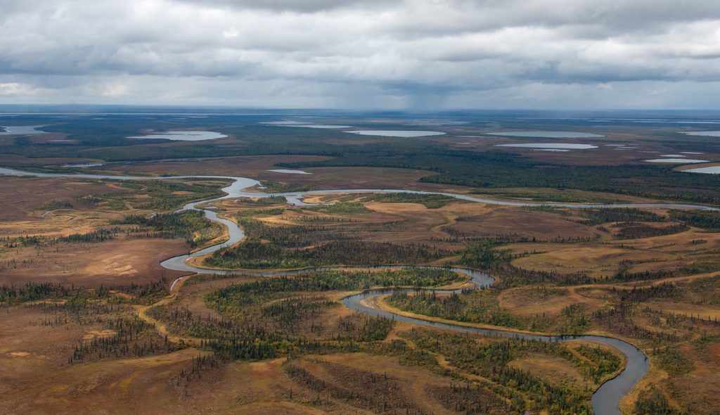
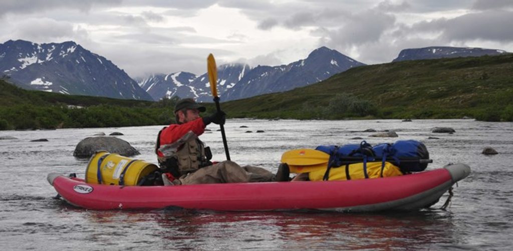
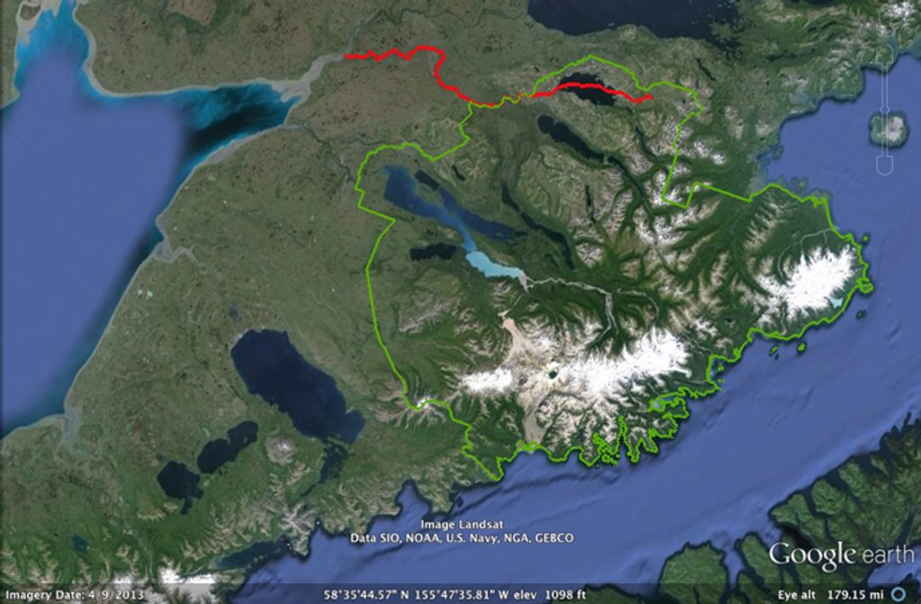
A federally designated Wild and Scenic River, the Alagnak braids through tundra and boreal country for roughly 67–69 miles from headwaters in Katmai toward Bristol Bay. It’s undeveloped, free‑flowing, and protected for its geologic story, prolific salmon runs, and the cultural lifeways they support. Expect raw wilderness—no roads, no campgrounds, no services—just a broad, ever‑shifting river corridor shaped by glaciers, volcanism, and time.
This is bear country, fueled by salmon. Brown bears work the banks, while caribou, moose, beaver, foxes, and otters roam the corridor. Overhead, you’ll spot bald eagles and ospreys, plus seasonal migrants like sandhill cranes, swans, hawks, ravens, and shorebirds such as greater yellowlegs. Indigenous peoples have lived here for millennia—please leave any cultural sites undisturbed.
It’s one of Alaska’s premier sport-fishing rivers. All five Pacific salmon species use the system: early and massive sockeye runs, robust king (Chinook), hard‑fighting chum, pinks in even‑numbered years, and acrobatic coho (silver) late in the season. Resident fish include hefty rainbow trout, Arctic char, Dolly Varden, and grayling—especially good near tributary mouths.
The Alagnak is predominantly braided. Some stretches are mellow floats; others spike to Class III and demand scouting, precise line choice, and respect for sweepers. Most trips are multi‑day floats with primitive riverside camping. Portions of the corridor allow sport hunting/trapping—know current regulations before you go.
There’s no road access. Typical routes are Anchorage → King Salmon by scheduled flight, then a charter floatplane to a headwater lake (like Kukaklek) or a riverside lodge. Build weather buffers into your plan and assume minimal connectivity; carry paper maps and backups. Several private, fly‑in lodges operate along the river on private lands if you want beds, meals, and guides.
No permits are required, and there are no set hours or seasonal closures. The NPS maintains no public restrooms, docks, or campgrounds—dispersed camping on public land is standard. Private parcels line parts of the river; do not enter or camp without landowner permission. Use only dead and downed wood for campfires and practice strict Leave No Trace.
Bear‑resistant food containers are required. Keep immaculate camps, cook away from tents, and know encounter protocols. A limited number of containers can be checked out (first‑come, first‑served for non‑commercial trips) at the King Salmon Visitor Center near the airport.
Archaeology points to riverside camps 7,000–9,000 years old and villages more than a thousand years in age. The river was charted by Russian Captain Tebenkov in 1852; early‑1900s canneries at the mouth drew global workforces. Today, the salmon that sustain bears also sustain local communities and cultures.
If you want amenities, consider a guided lodge stay; if you want solitude and flexibility, plan a self‑supported float with solid whitewater and backcountry skills.
Place · 21.6 mi away
Place · 23.4 mi away
Place · 25.8 mi away
Place · 29.2 mi away
Easy · 33.8 mi away
Easy
Challenging
Easy

Parkwolf Tour Guide
