Best time to visit
Late June through September offers the most reliable daylight and aviation/sea windows. There are no hours or crowds to worry about, but fog and wind are common year-round—go with flexible plans and backup dates.
Sight · Katmai National Park
Remote caldera lake with lava domes and zero facilities
Overview
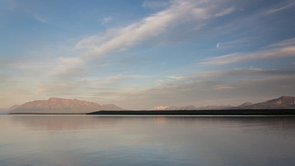
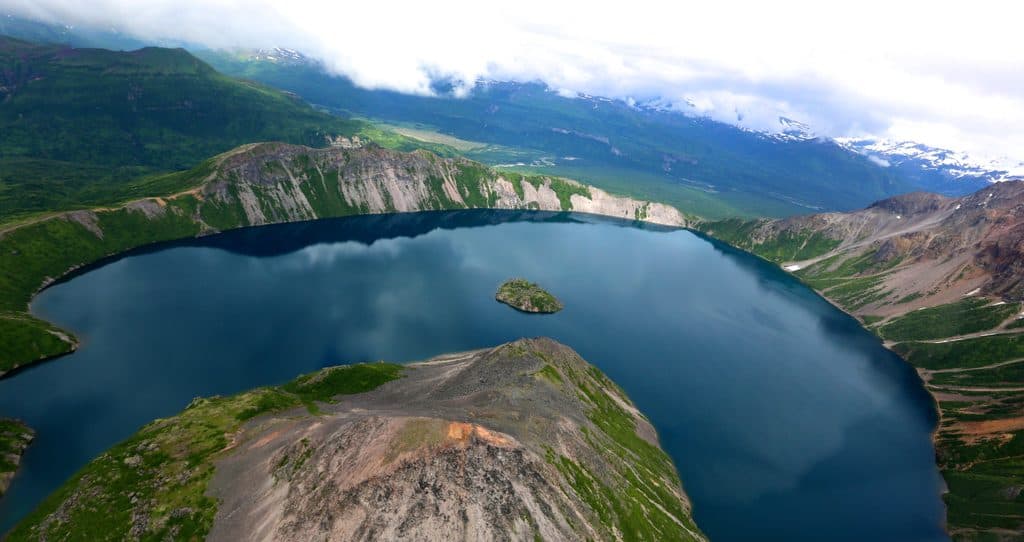
Kaguyak Crater is a remote caldera on Katmai’s wild Pacific coast—a turquoise crater lake ringed by high walls and punctuated by lava domes. There’s nothing developed out here: no roads, no trail signs, and no toilets. Getting to the rim or shore is an expedition, but the payoff is big if you’re comfortable in true backcountry.
Seasoned backcountry travelers who want a wild, geologically rich destination with zero amenities. If your trip hinges on boardwalks and predictable logistics, pick another spot. If you’re comfortable with charter access, brush-bashing, bears, and self-rescue, Kaguyak is a sleeper gem.
 Parkwolf’s verdictWho It’s For
Map
Local know-how
Build in buffer days—fog and wind routinely delay flights and pickups.
Avoid low, wind-still lake shores if you smell sulfur; move to higher, breezier ground.
Use bear trails on the rim when you find them, but expect steep, brushy detours.
Carry satellite comms and be fully self-sufficient; there are no facilities.
If flying, discuss shoreline landing options and contingency extraction with your pilot.
Plan your stop

The highest, rockiest slopes around here are a summer buffet for grizzly bears.
Katmai Tour Guide
Parkwolf is a GPS audio tour guide for Katmai National Park. As you drive, it chimes in with what’s ahead: hidden gems, upcoming stops, history, geology, and wildlife, right through your car’s speakers.
“Fantastic app with many points of information… It’s great to just turn on while you’re driving and it gives you an audio tour of the national Park. We love it!!!!”


Guide
The caldera is roughly 2.5 km across and partially filled by a deep lake (reported around 150–180+ meters). After the caldera-forming eruption thousands of years ago, lava domes grew within the basin, including an island dome. The caldera walls expose layers of pre-caldera lavas, agglomerates, dikes, and plugs—superb natural “outcrops” for anyone with a geology itch. Today, the lake still bubbles with weak CO2/H2S degassing.
Wildlife
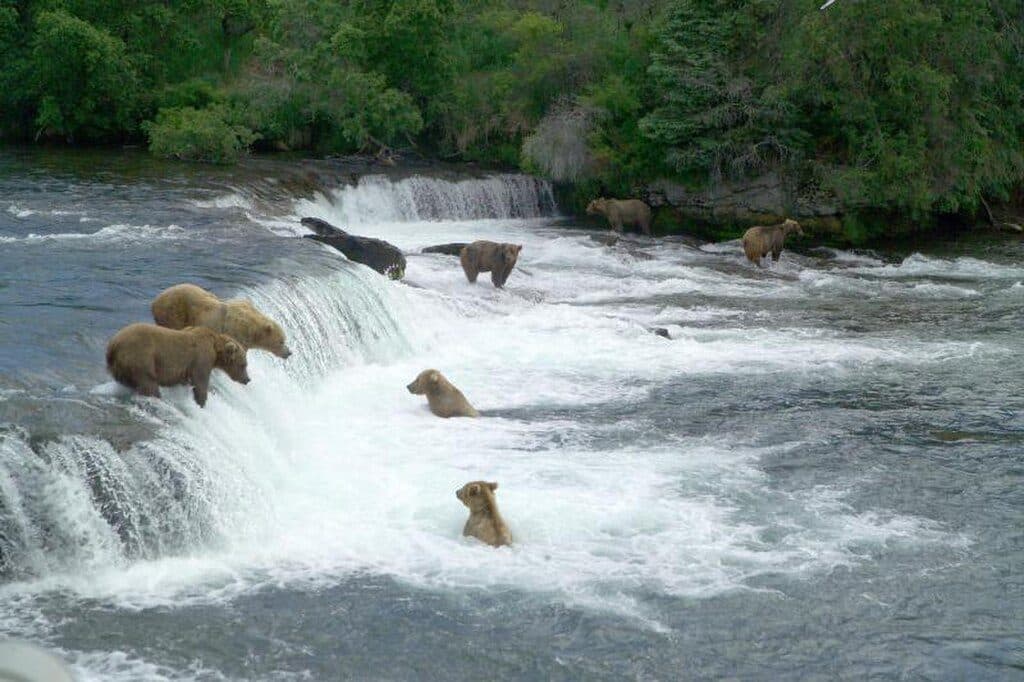
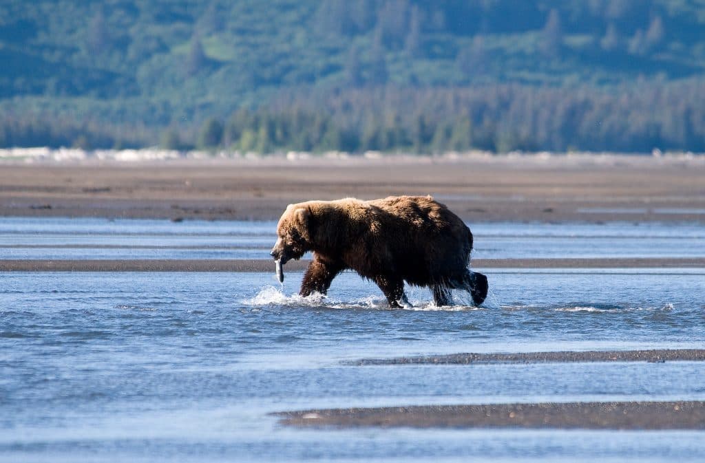
 752 sightingsBrown BearMost seen around 7 PMSighting map
 55 sightingsSockeye SalmonMost seen around 11 AMSighting map
 15 sightingsWolfMost seen around 9 PMSighting map
 68 sightingsBald EagleMost seen around 5 PMSighting map
 17 sightingsMooseMost seen around 6 AMSighting map
 19 sightingsBelted KingfisherMost seen around 7 AMSighting map
Sighting maps show where each species has been reported across Katmai. Wildlife moves, so no sighting is guaranteed.
Parkwolf’s Katmai ranking
The audio tour guide for the drive, plus offline maps, trails, and wildlife heatmaps for when the signal drops.